
Acreage
7783 Township Rd 216 SE
Corning, Ohio,
Perry County
Description
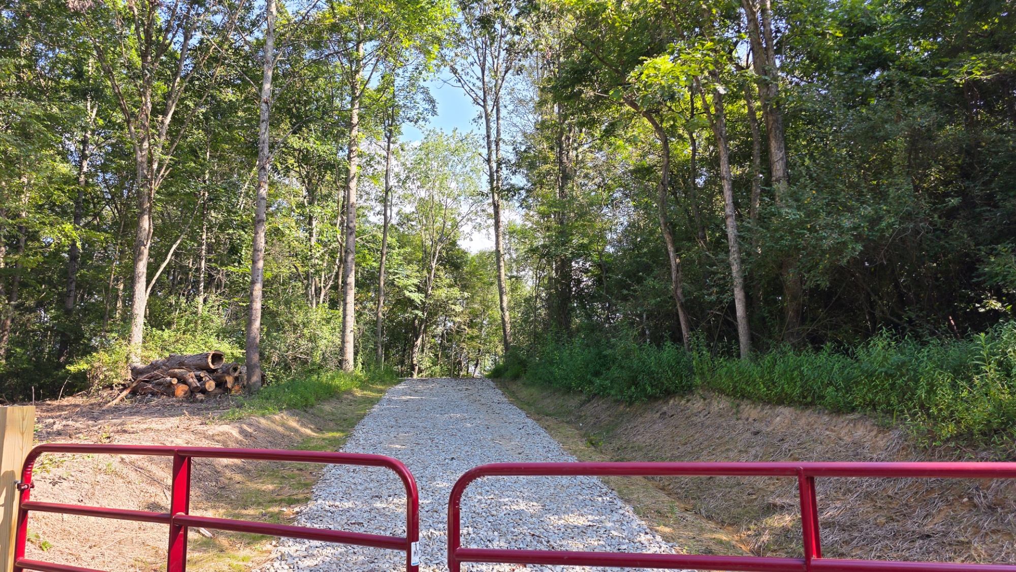
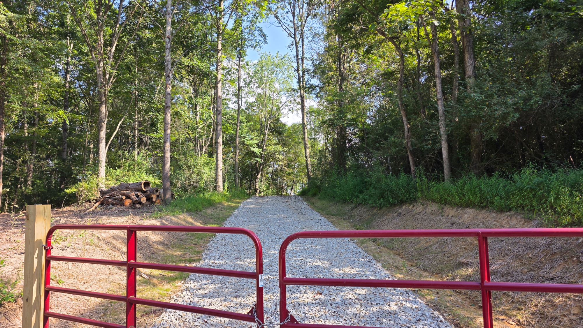
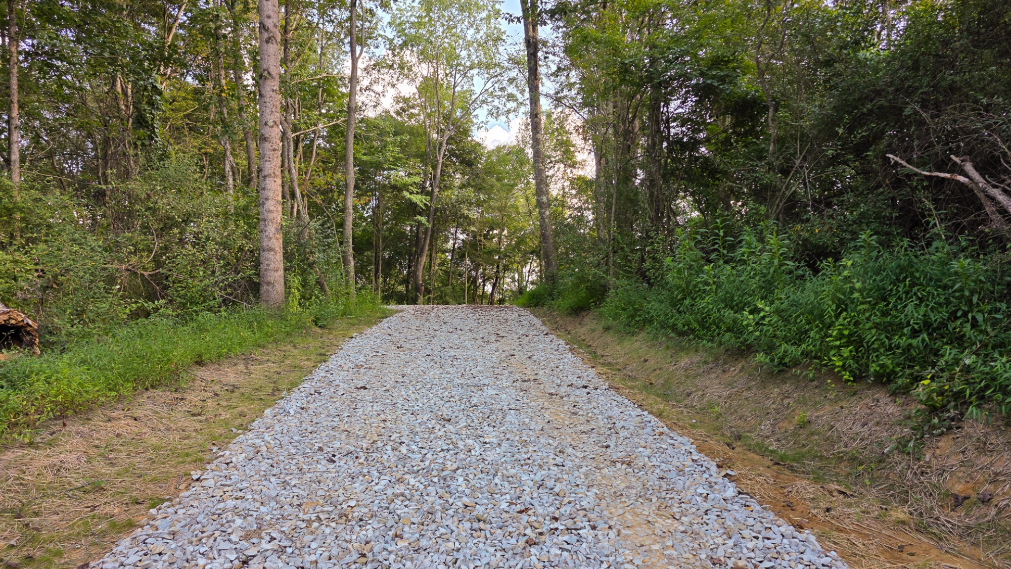
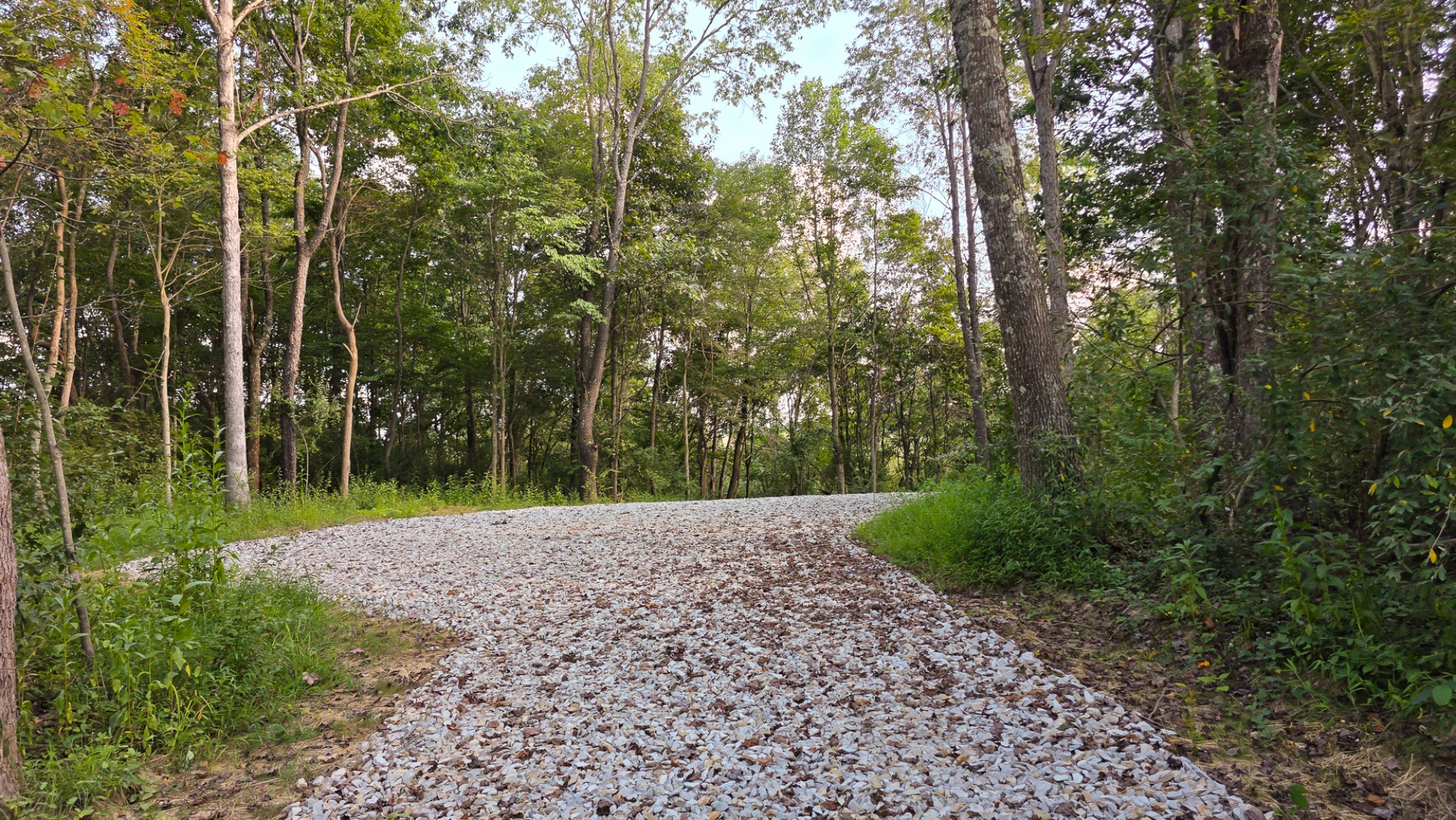
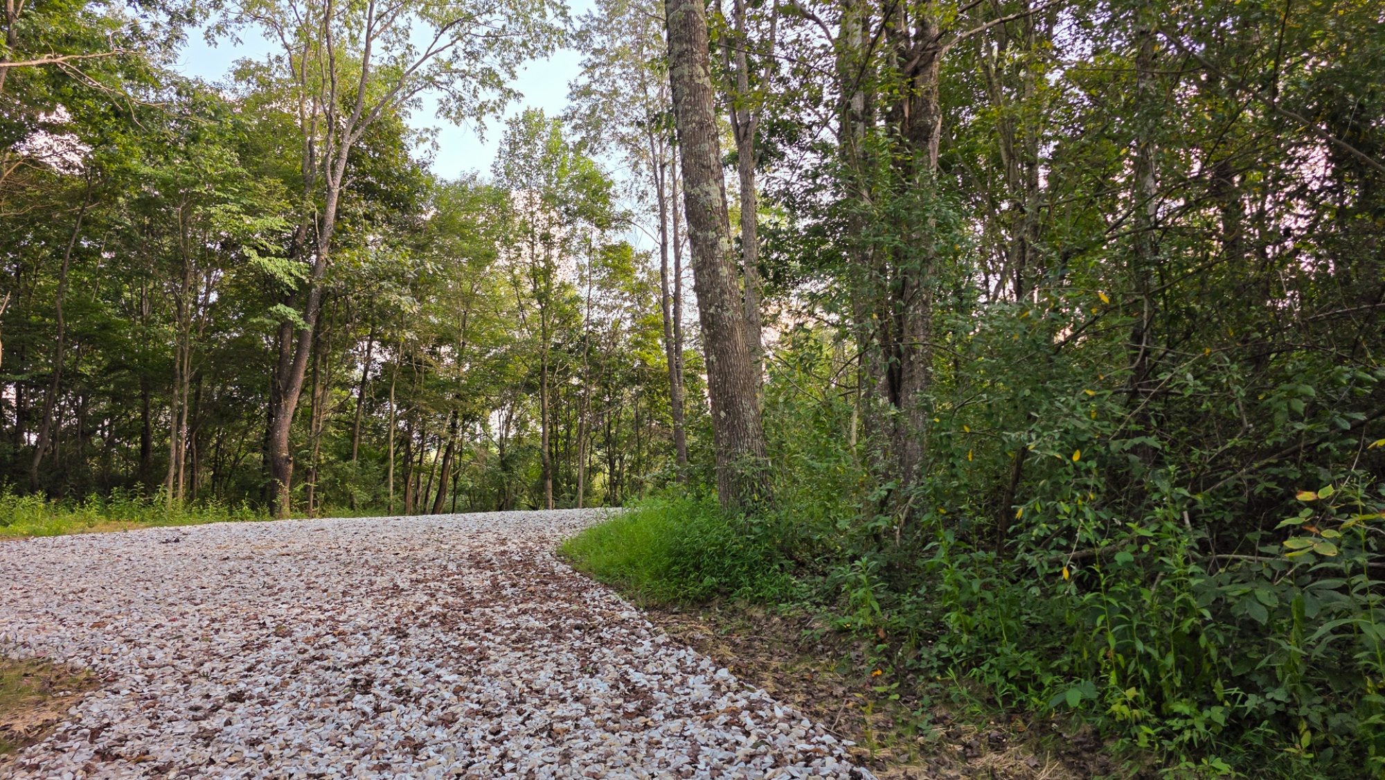
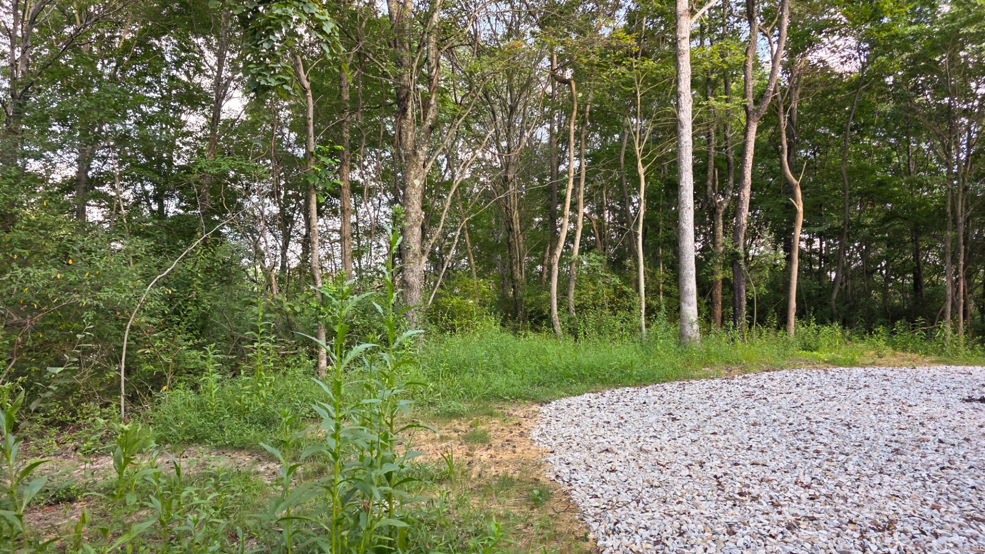
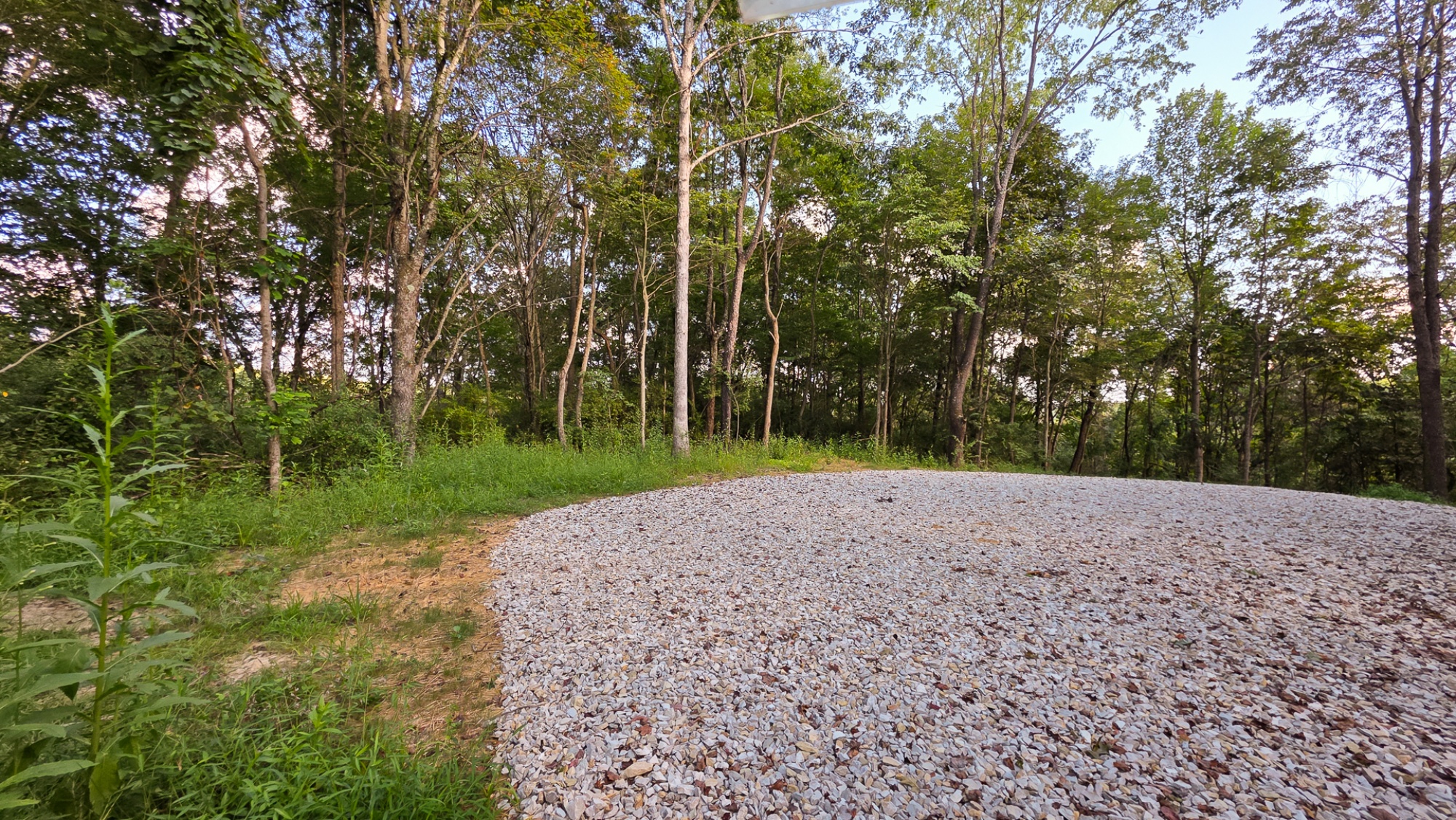
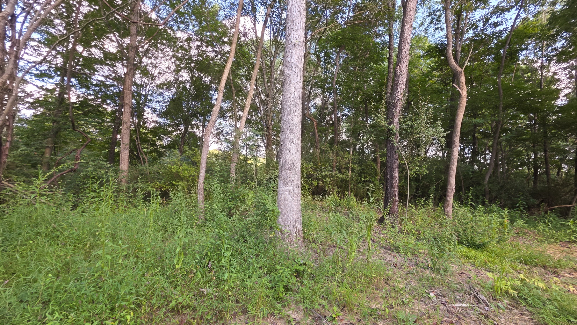
Lot 9 at Scenic Trails
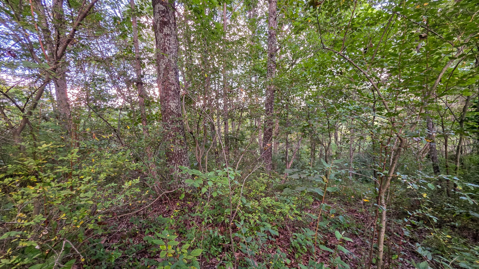
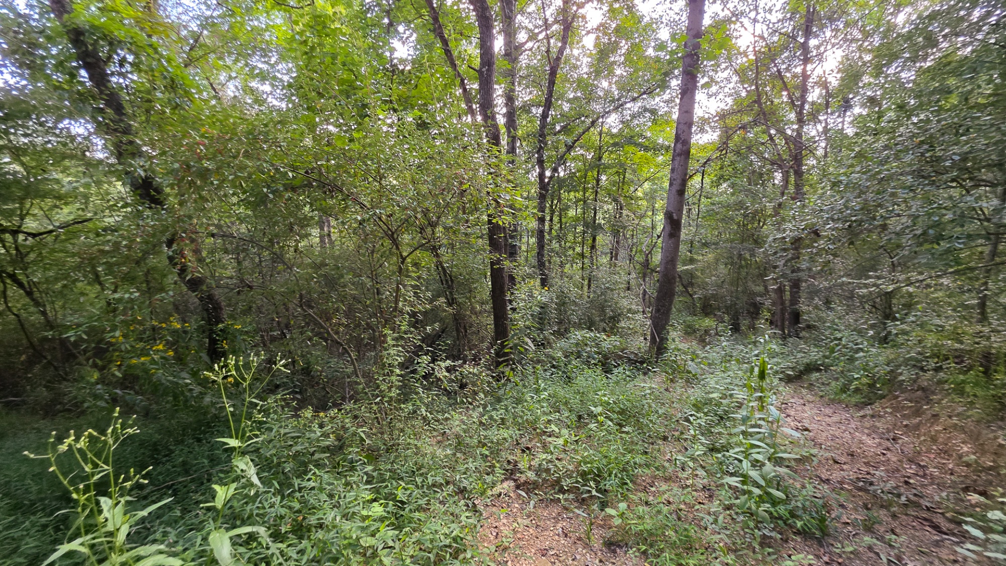
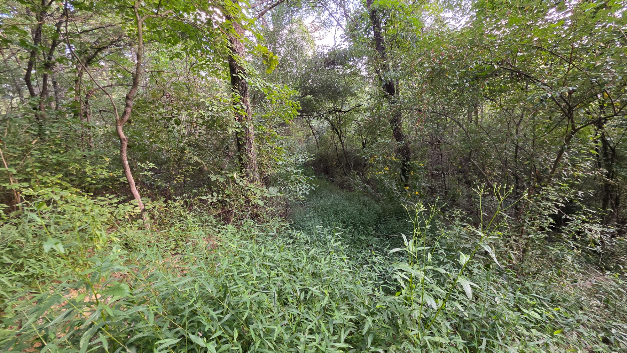
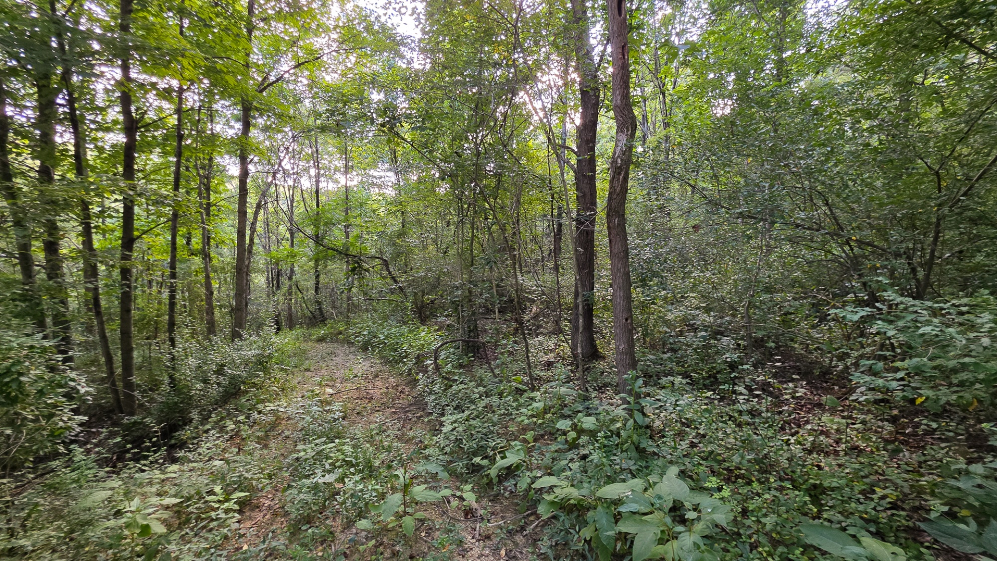
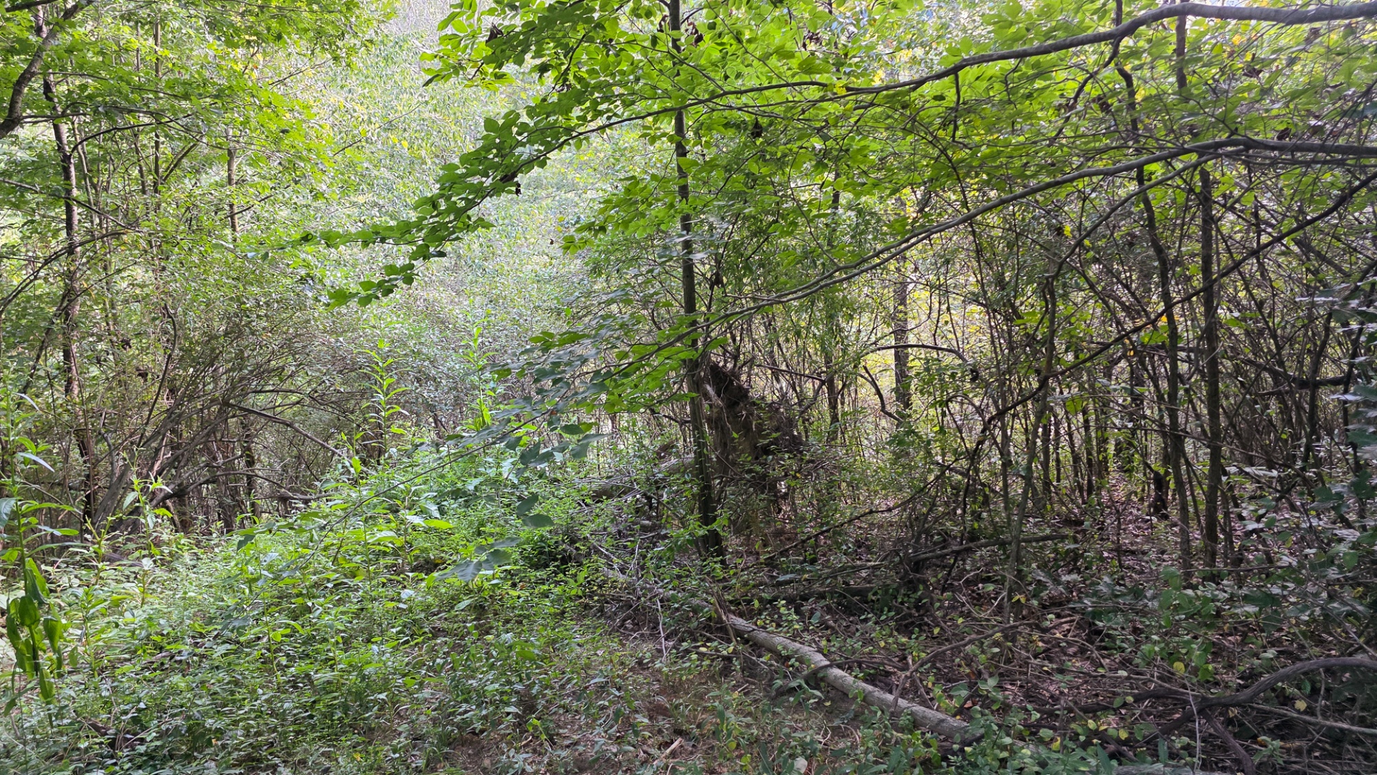
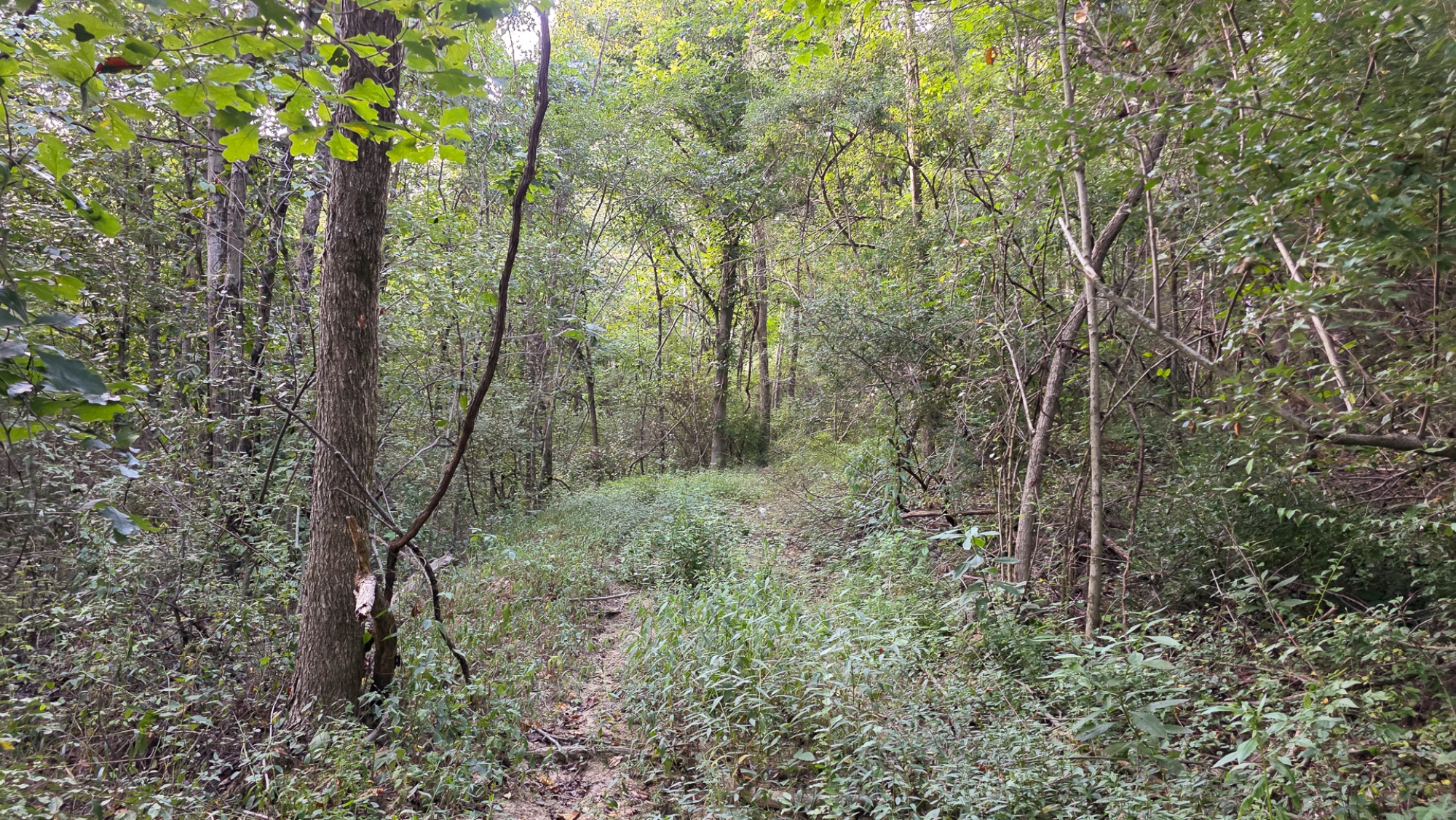
2.3 Ac Wooded Cabin/Home Site or Recreational Retreat
Township Rd 216 SE, Perry County, Ohio
Picturesque Cabin/Home Site or Recreational Retreat
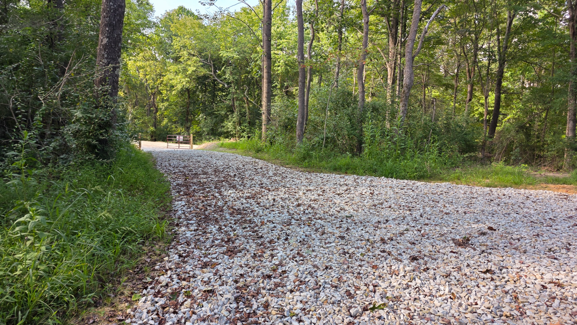
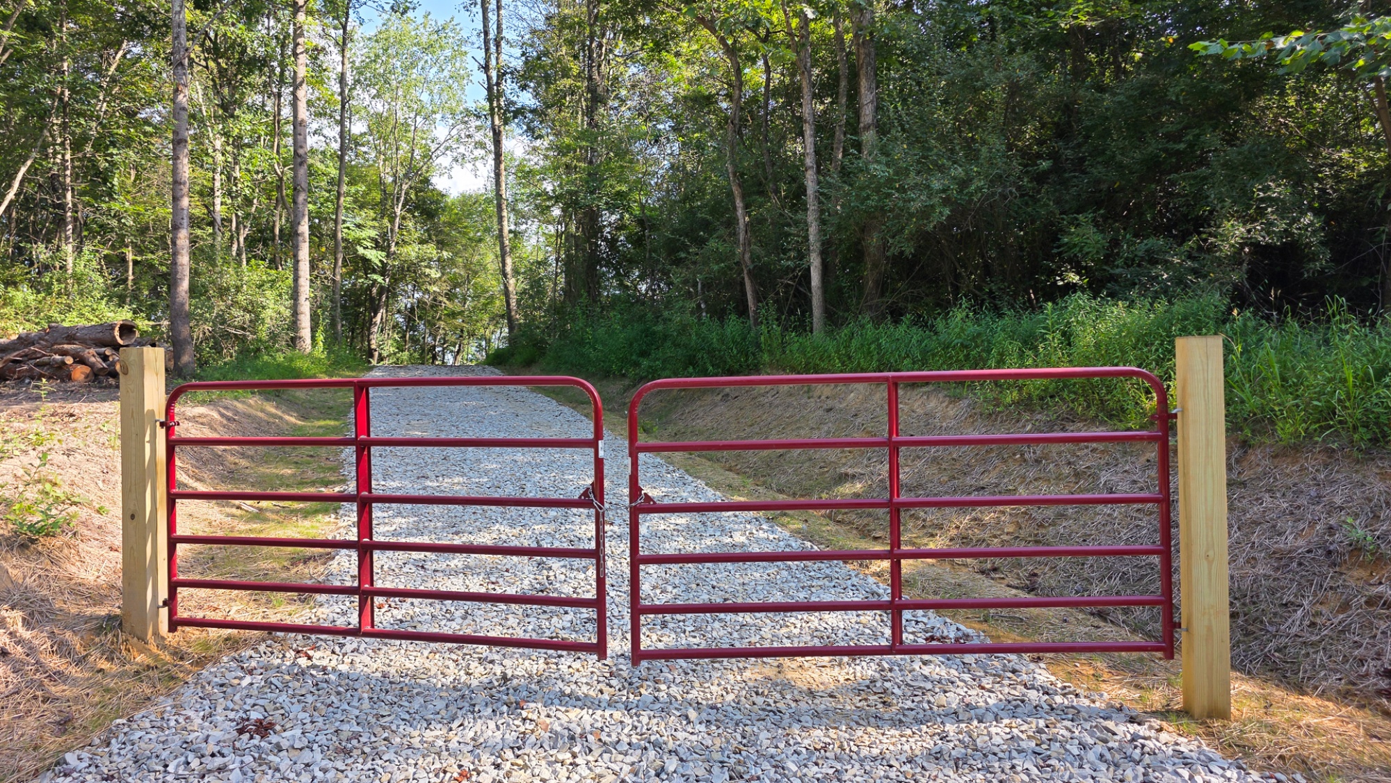
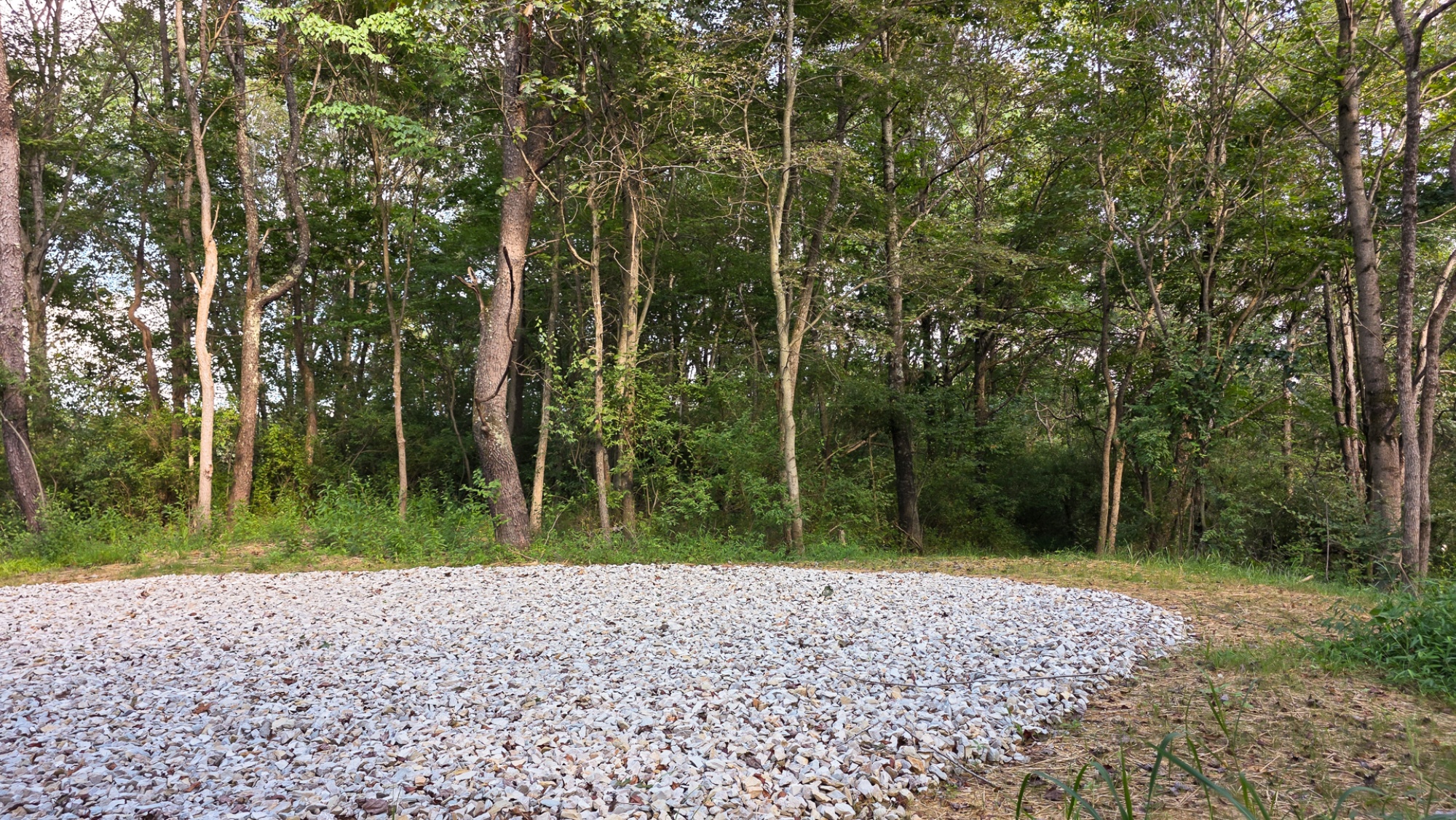
New Gated Gravel Driveway
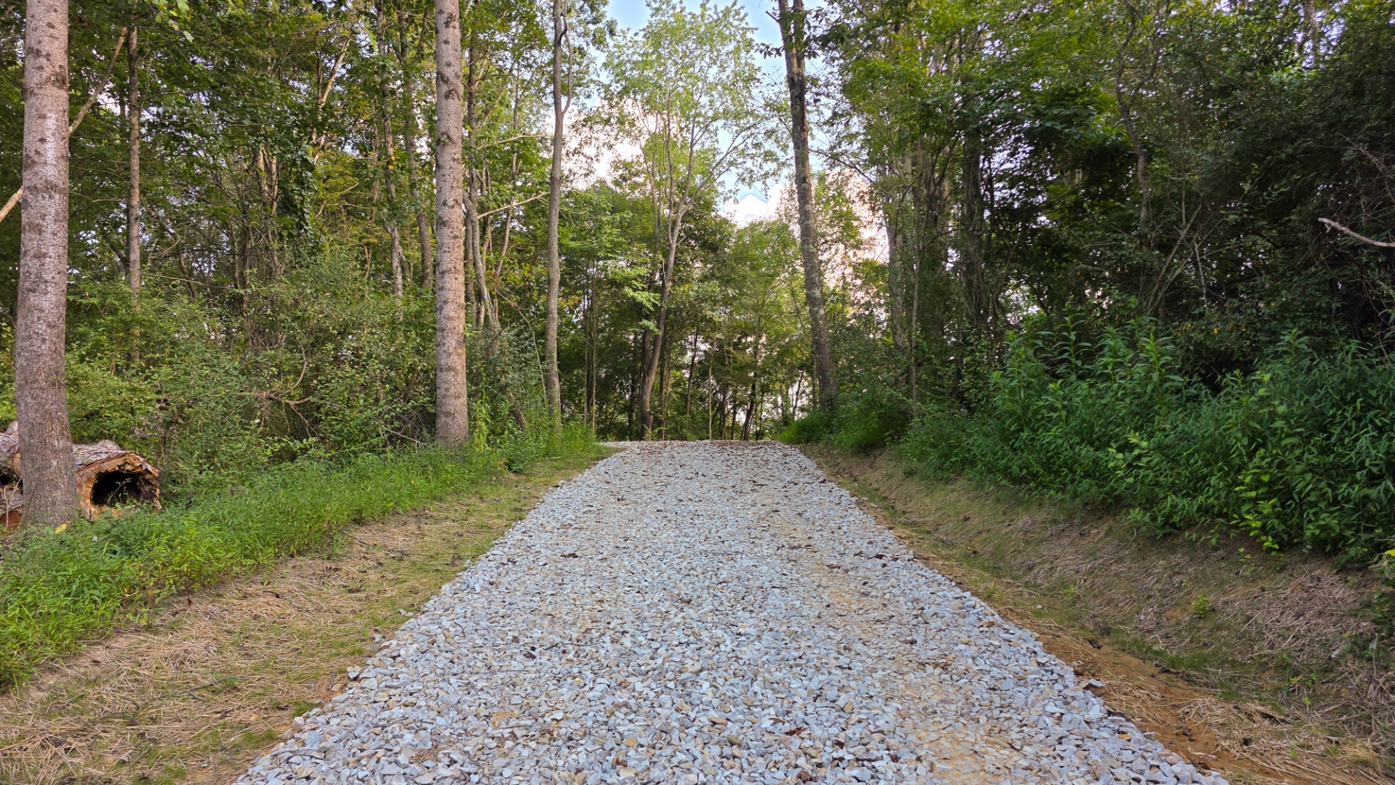
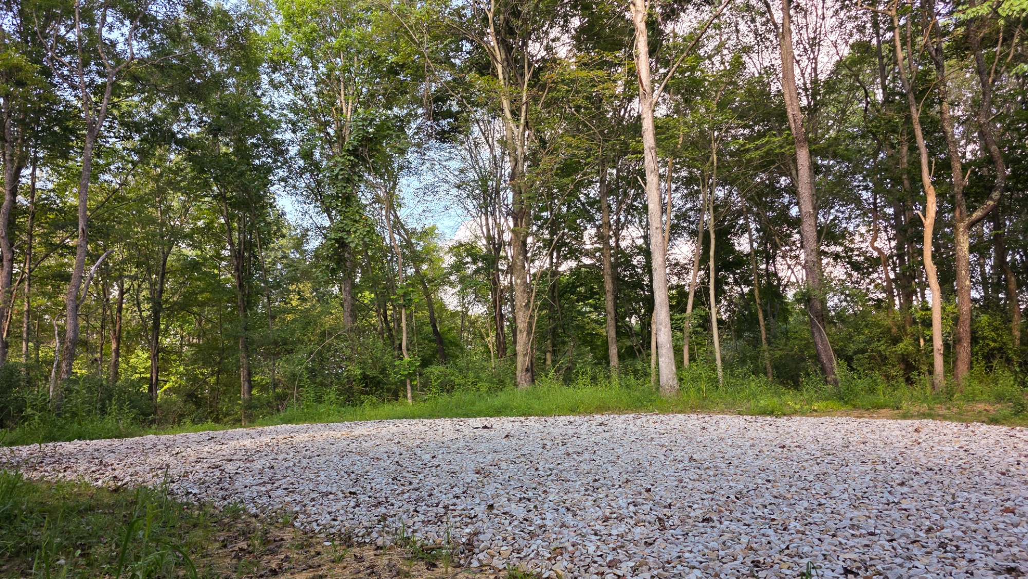
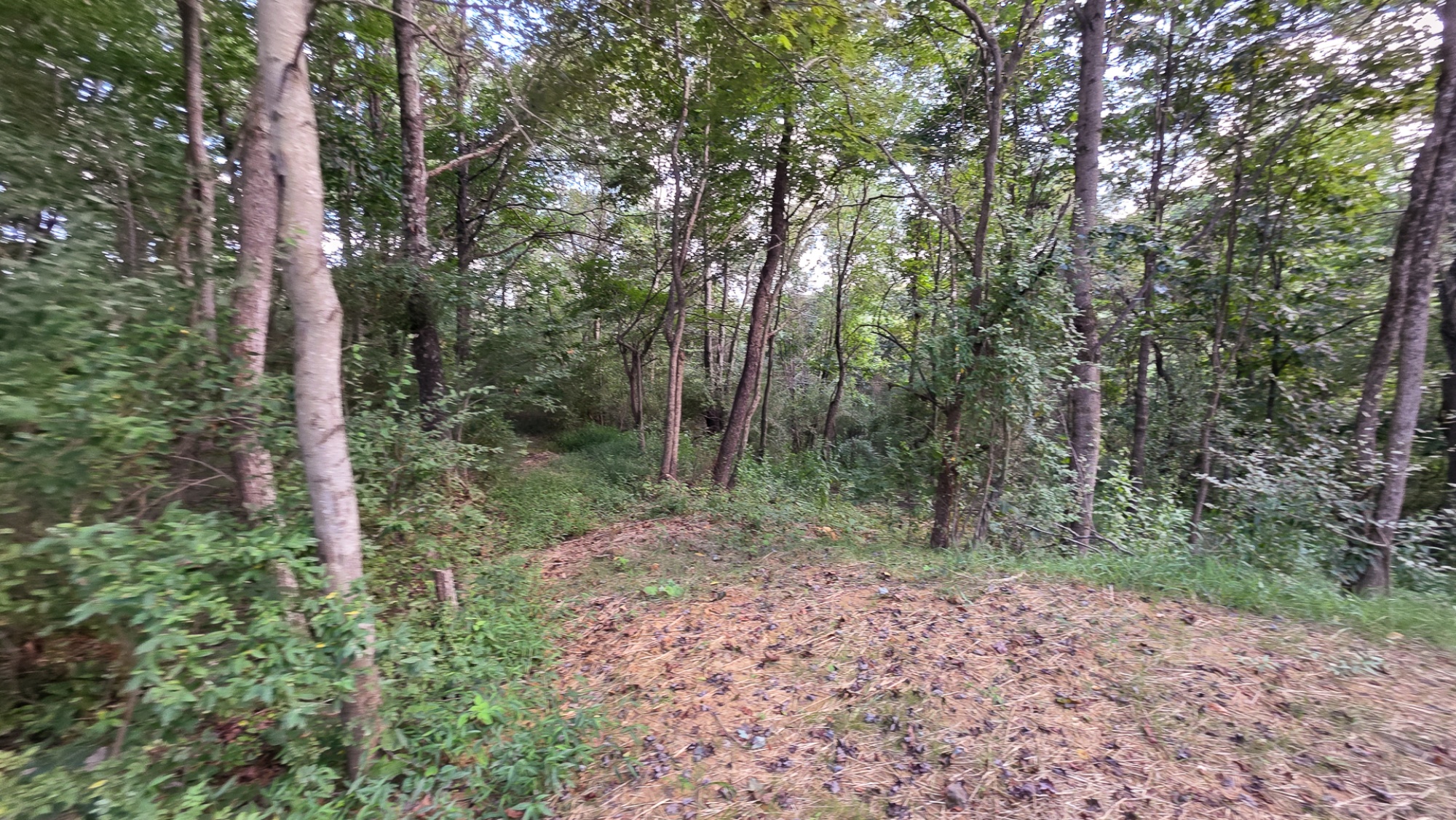
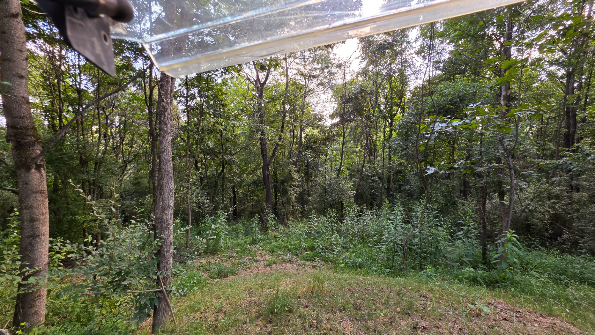
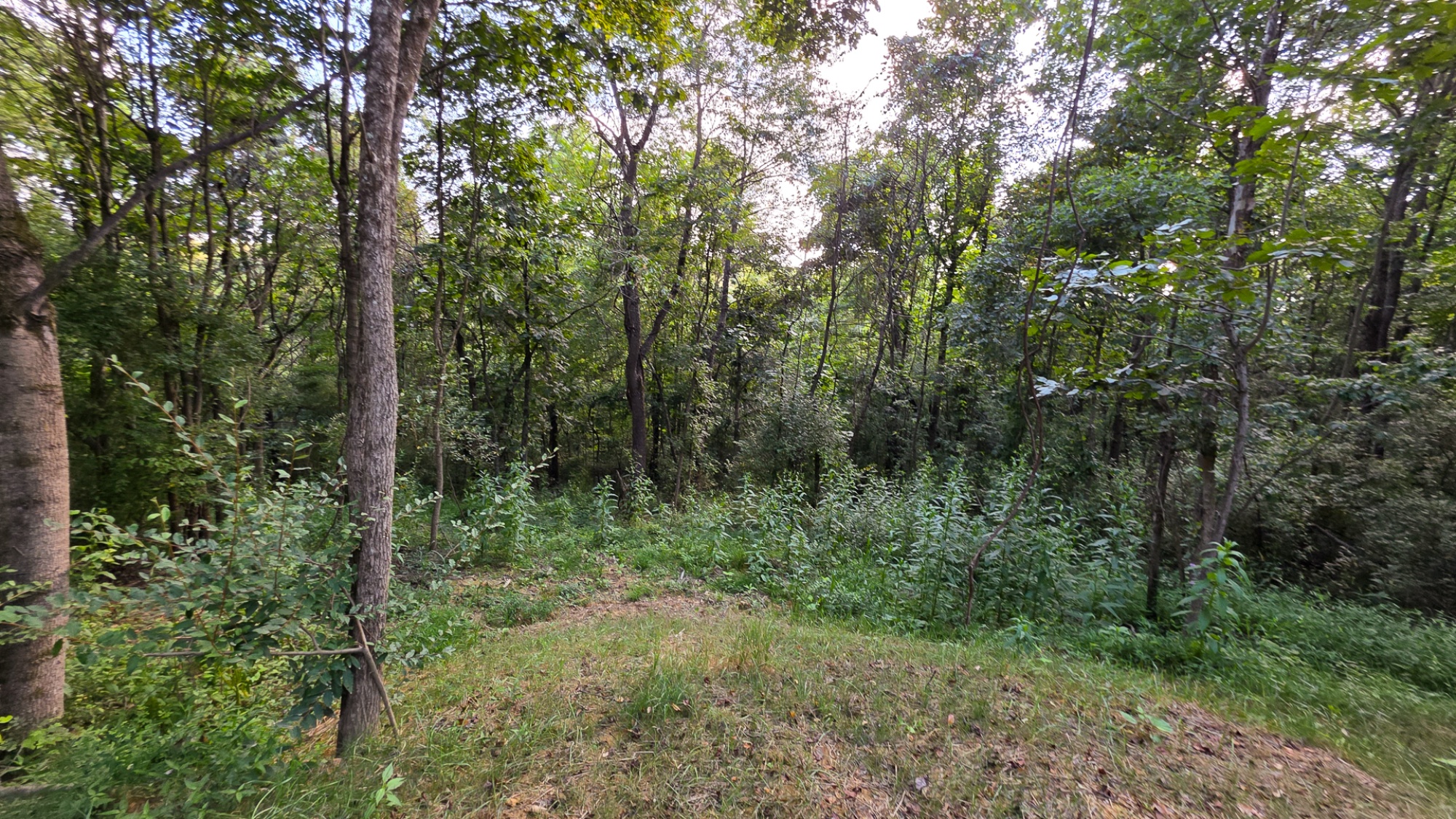
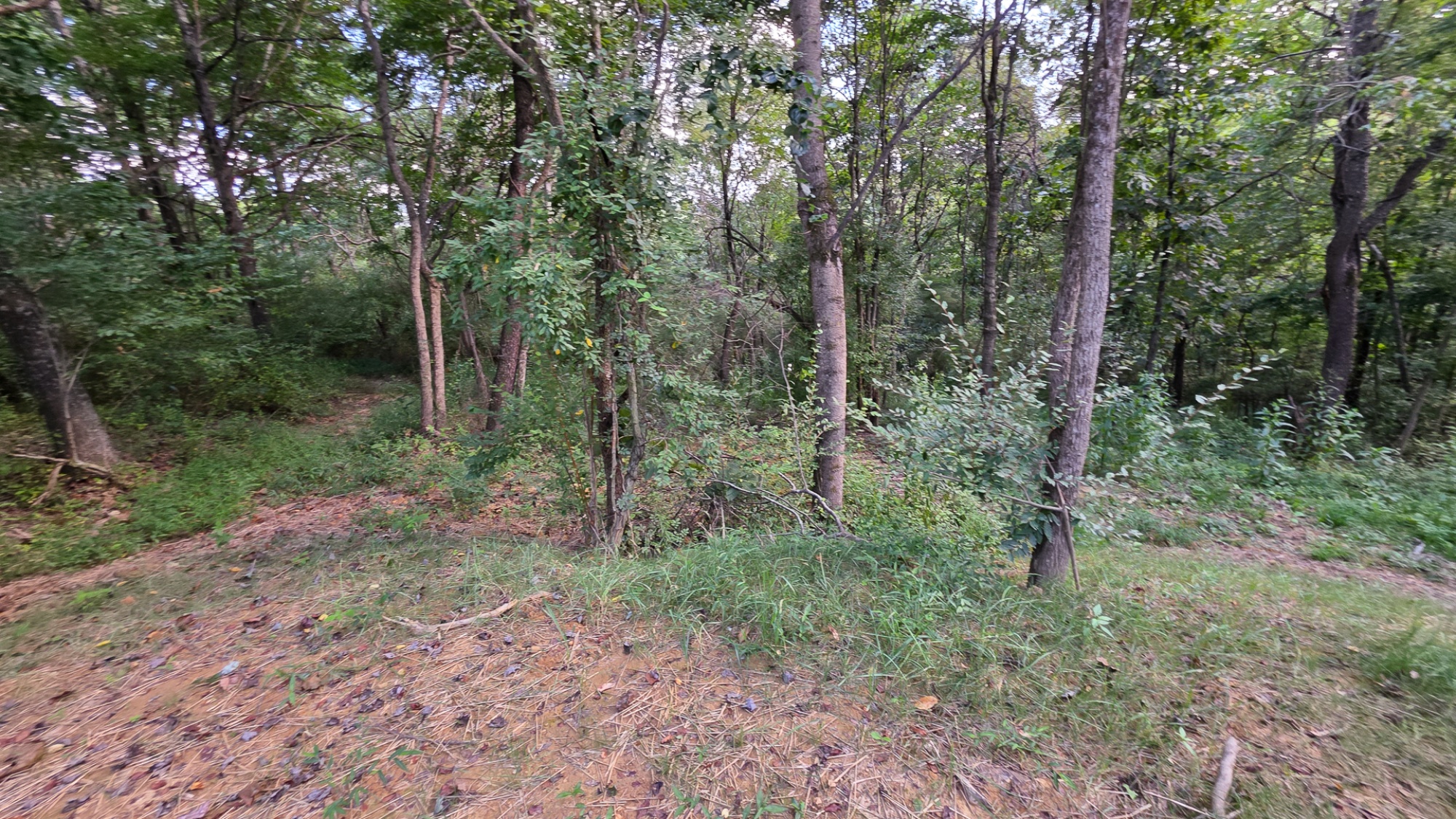
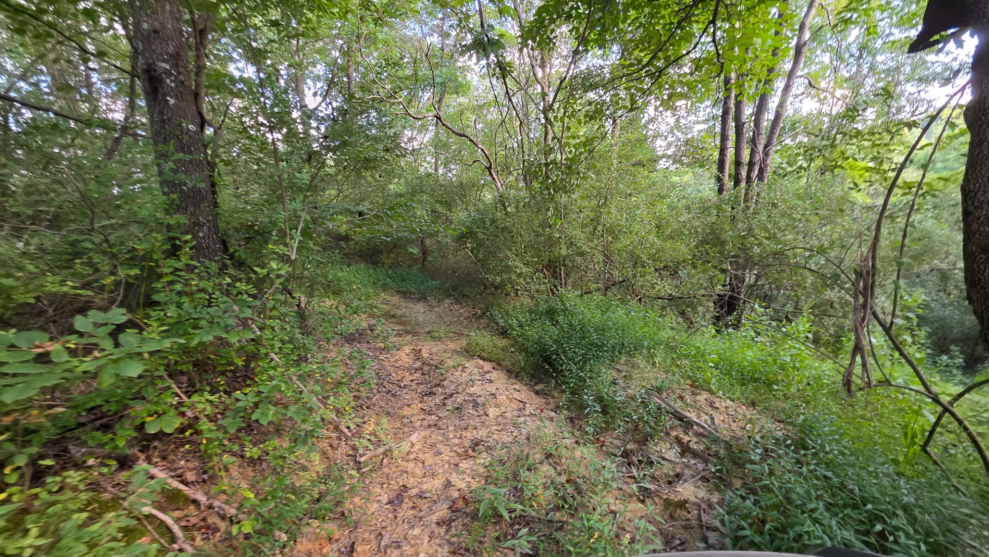
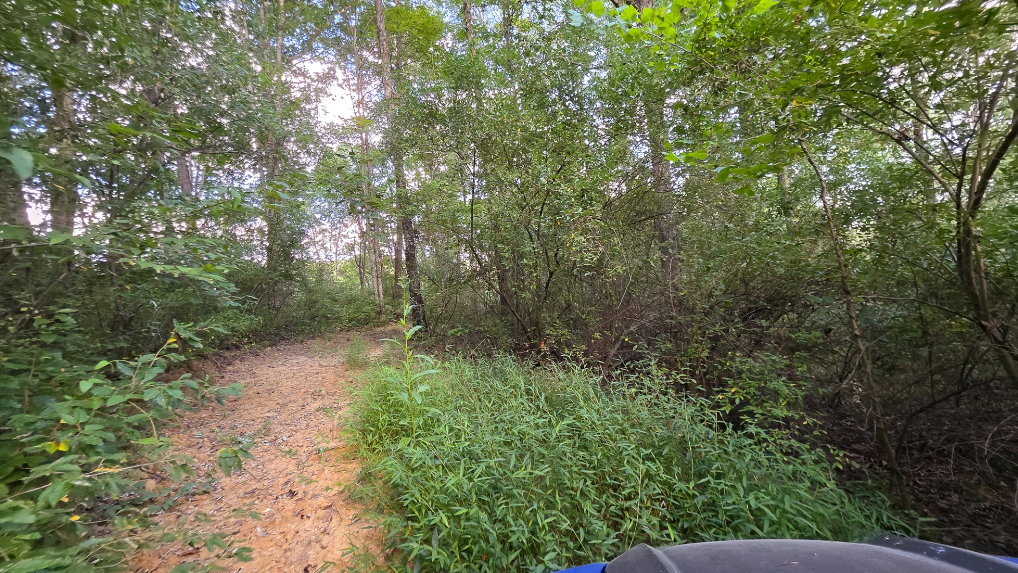
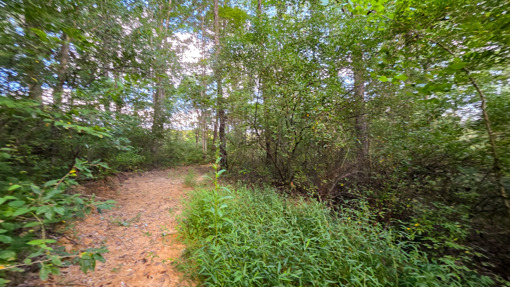
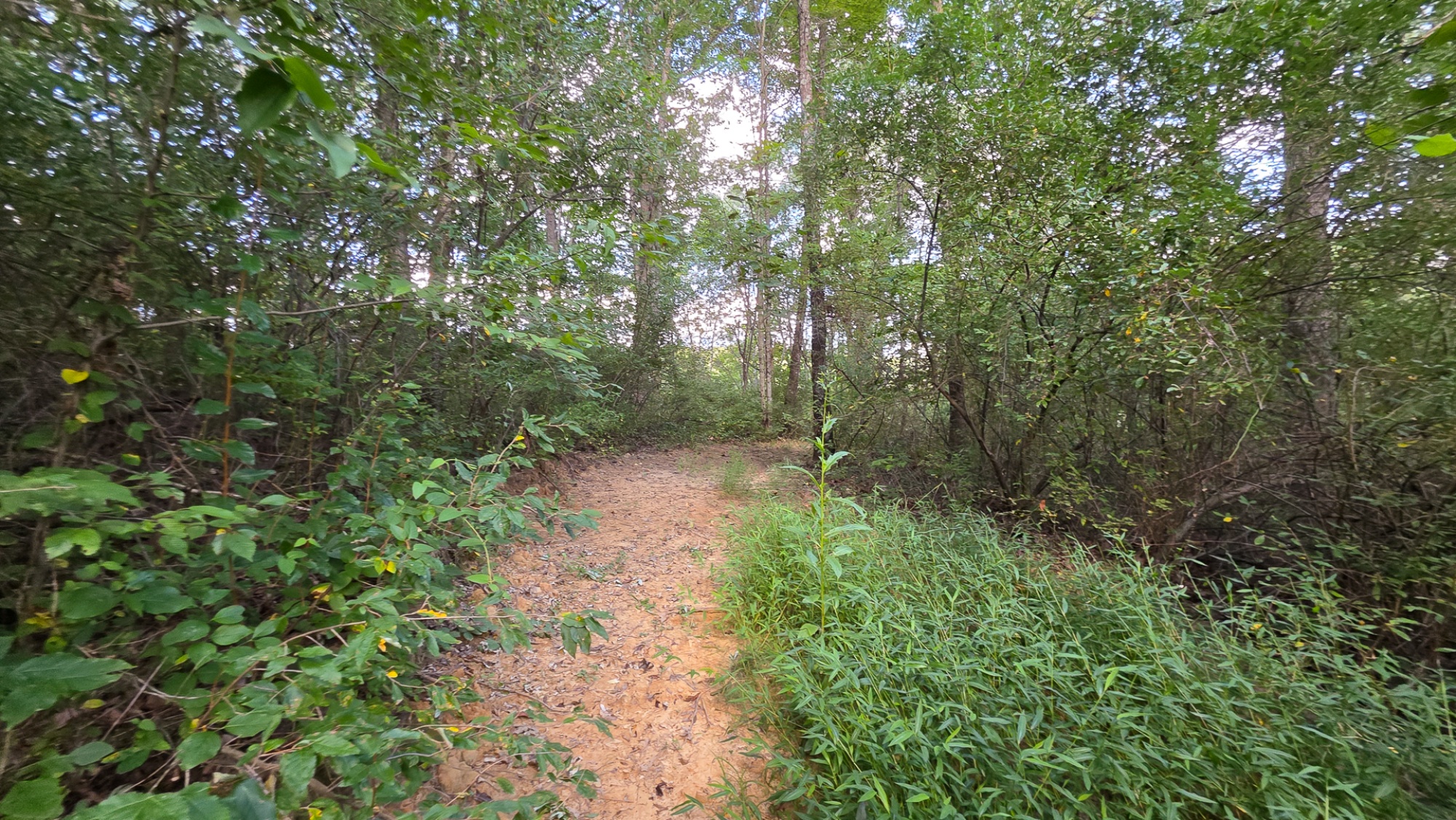
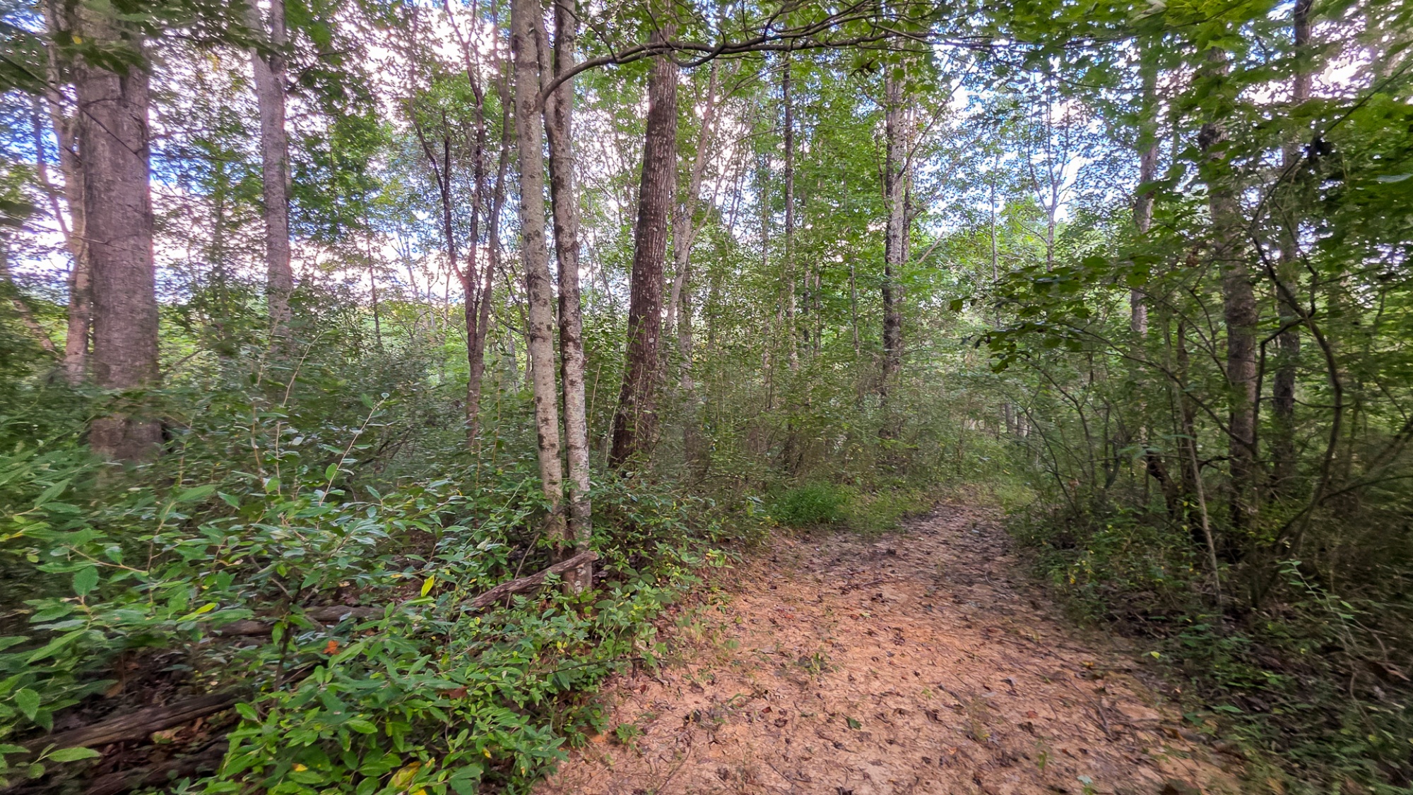
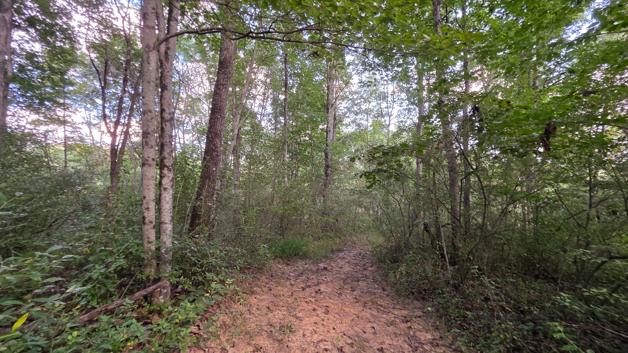
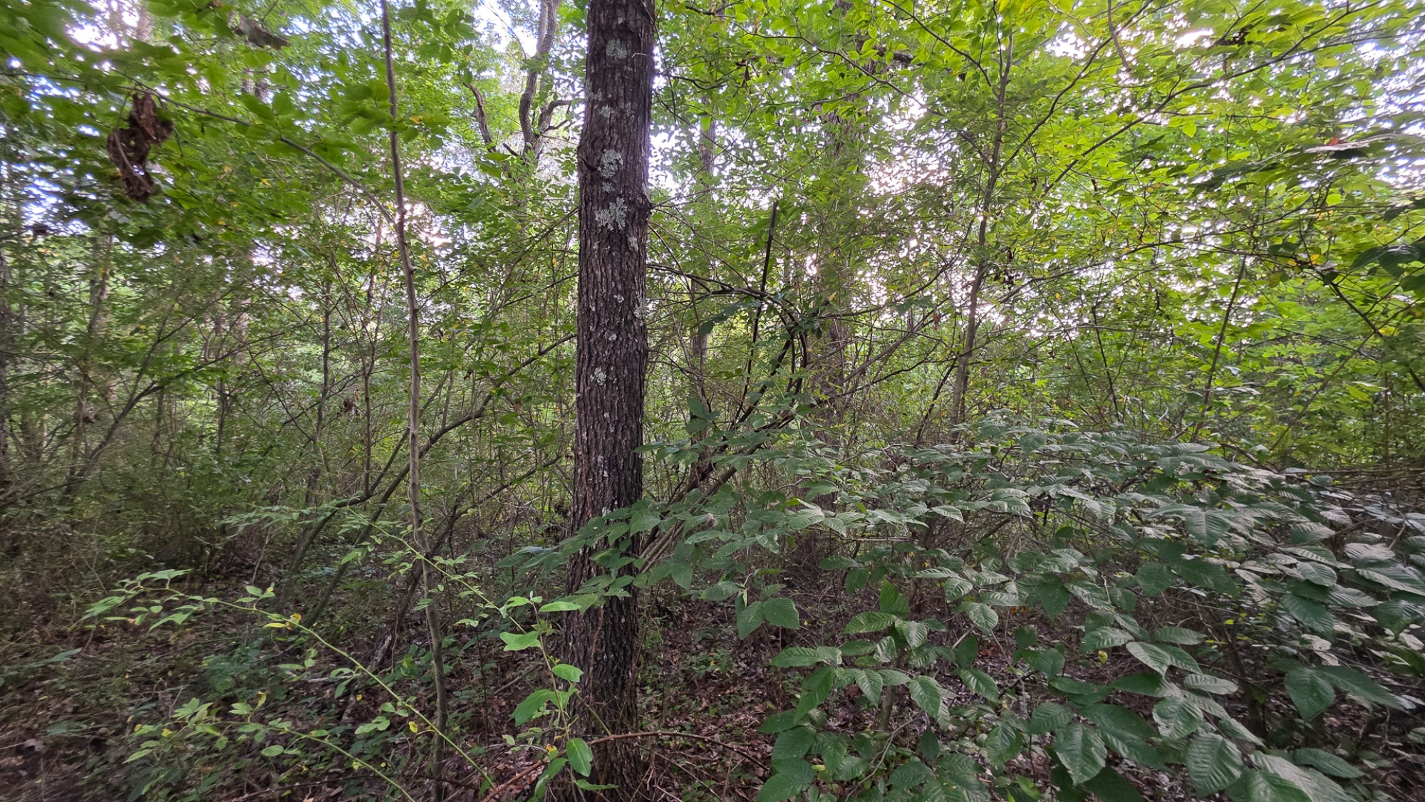
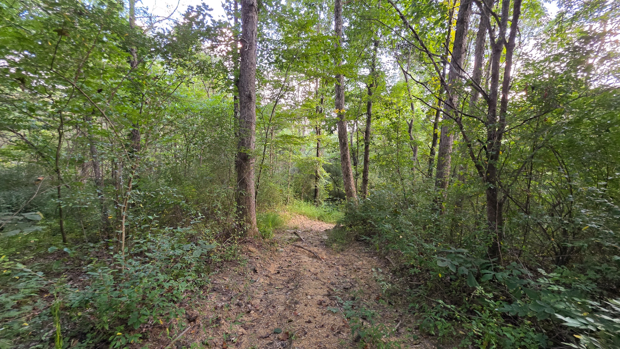
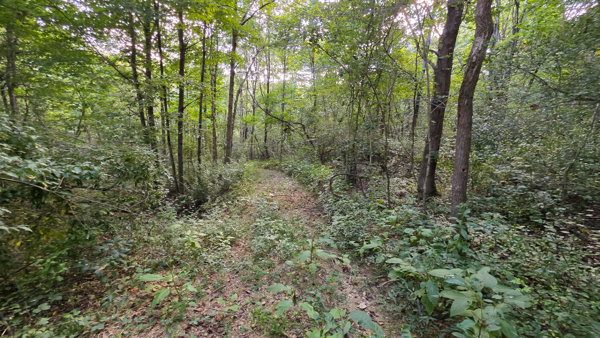
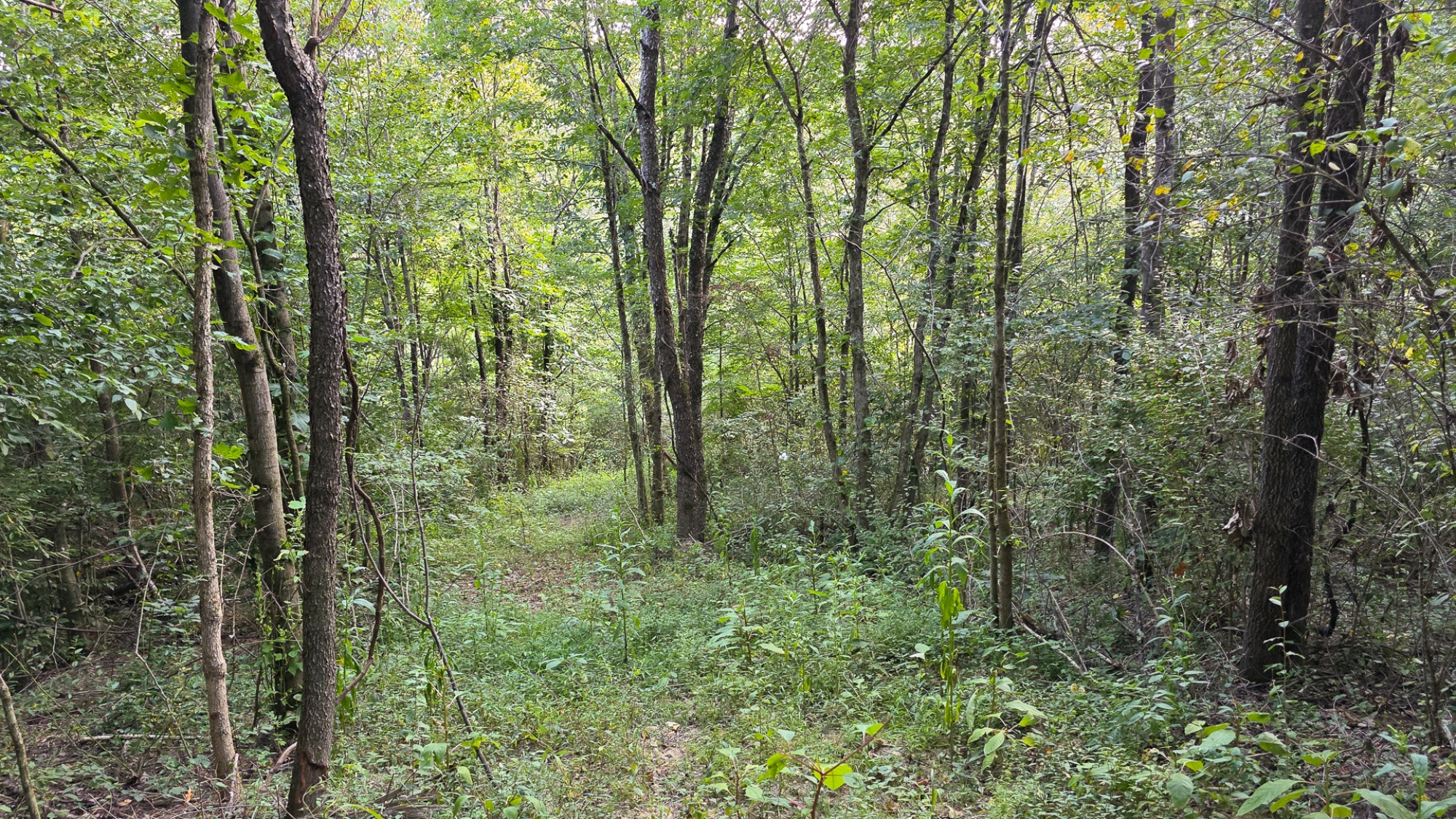
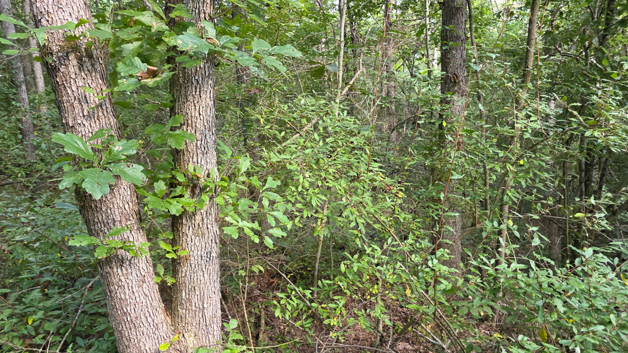
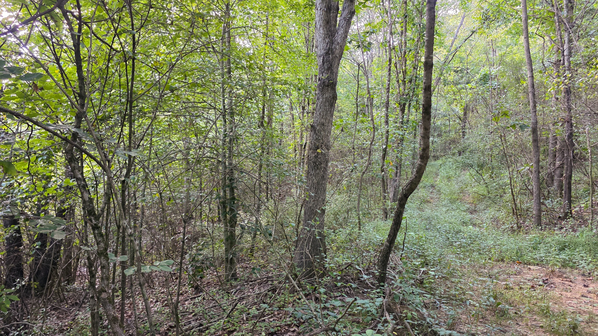
Beautiful Mature Woods with a Nice Trail
Soil Testing Completed for On-Site Septic
Loaded With Wildlife
Endless Recreational Opportunities Both on Property and in the Area
Conveniently Located to Thousands of Acres of Public Recreation
3.7 Miles to Tecumseh Trails ATV Park
3 Miles from Wayne National Forest – Public Hunting and Recreation
7.6 Miles to Burr Oak State Park: Swimming, Boating, Fishing, and More
2.318 – New Survey (Fully Approved)
Lot 9 at Scenic Trails Subdivision, Additional Acreage Available
No Zoning and Minor Deed Restrictions
Southern Perry County Water and AEP Electric Being Extended to Service the Property
Oil and Gas Rights Transfer with No Active Leases (ATO)
Southern Local School District
Monroe Township, Perry County
Parcel # 200004640300
Scenic Trail is located:
2.5 Miles to Corning
5.5 Miles to Shawnee
10.5 Miles to New Lexington
20 Miles to Logan
23 Miles to Athens
58 Miles to Columbus
7783 Township Rd 216 SE, Corning, OH 43730
(Address may not map correctly, use GPS Coordinates)
GPS Coordinates: 39.603839, -82.128181
Google Map Link
2.3 Ac Wooded Cabin/Home Site or Recreational Retreat
Township Rd 216 SE, Perry County, Ohio
Looking for a wooded home site, secluded retreat or country camp spot packed with potential? Introducing Lot 9 at Scenic Trails: a rare opportunity to own a beautifully forested 2.318 acre tract with everything you need to make your dreams come true. With a newly installed gated driveway, mature woods, and a brand-new trail system throughout. This land is ready for fun on day one.
Scenic Trail is located:
7783 Township Rd 216 SE, Corning, OH 43730
(Address may not map correctly, use GPS Coordinates)
GPS Coordinates: 39.603839, -82.128181
Google Map Link
Scenic Trails Map
Maps and Additional Documentation
Countrytyme Maps and Additional Documents:
Aerial Map.pdf
55 Acre Lot Survey.pdf
Scenic Trails Subdivision Plat.pdf
Location Map.pdf
Scenic Trails KML.KML
https://countrytyme.com/refFiles/Ohio/ScenicTrails/Scenic Trails Subdivision Covenants and Restrictions.pdf
Hocking Hills Tourism
Monday Creek – Public ATV Trails (Wayne National Forest)
Tecumseh Trails – ATV Park
Property Location
Property Images

×
![Full-size property image]()