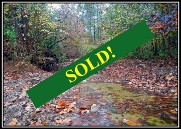
Tract 1 - Demazie Hollow on Shawnee Forest
$32,900
5.01 Acres
Sold
Acreage
Lower Twin Rd.
Stout, Ohio,
Adams County
Description
Tract 1 in Demazie Hollow on Shawnee State Forest
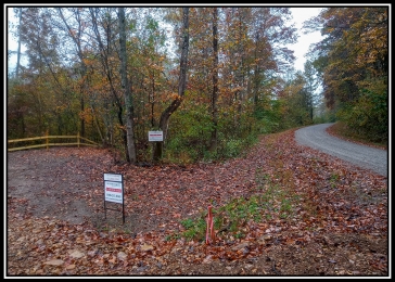
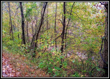
Fully Wooded w Year Around Rocky Creek, On Shawnee State Forest, Frontage on Lower Twin Creek Rd and New Easement Road
5.010 Acres, Off Grid Recreational Retreats
Lower Twin Creek Road, Stout, Ohio
Outdoor Paradise for Rugged Outdoor Enthusiasts
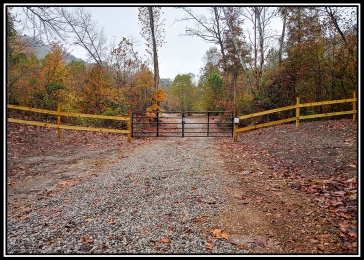
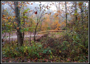
New Gated Gravel Access Easement Road Installed (ford through Lower Twin Creek)
Borders Shawnee State Forest 64,000 acres of Public Hunting and Recreation
Loaded with Wildlife, Excellent Deer and Turkey Hunting
Topography is Mostly Level Creek Bottom
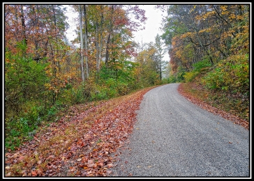
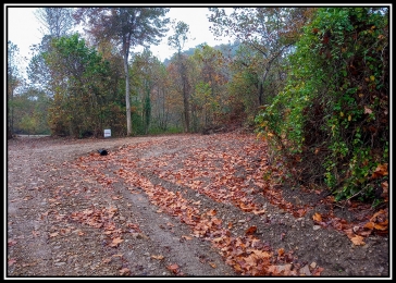
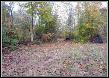
Each Tract has gravel driveway installed to cleared Cabin/Camper site
Rock Bottom Creek (Lower Twin Creek) flows through Tracts 1
Property Lines Marked Very Well
Off Grid - No Utilities Available - Limited Cell service
All Mineral Rights Transfer with No Active Leases (ATO)
No Zoning and No Deed Restrictions
Only Minutes to the Ohio River
Green Twp, Adams Co
Adams Co/ Ohio Valley School District
Parcel # 1790000002011
Additional 9 Tracts available
Demazie Hollow is located:
5.6 Miles to US52 along Ohio River (Ohio Scenic River Byway)
13 Miles to Shawnee State Park, Lodge and Turkey Creek Lake
20 Miles to West Union
23 Miles to Manchester
23 Miles to Portsmouth
71 Miles to Cincinnati
100 Miles to Dayton
104 Miles to Columbus
Google Map Link
Nestled in The Little Smokies of Ohio, Demazie Hollow touches Shawnee State Forest on three sides. This property is the ultimate escape from the hustle and bustle of modern life. These lots have no electric, no cable, and limited cell service, but what they do have is beautiful scenery, abundant and varied wildlife and more peace and quiet than you can find most places today. The common entry drive off the county road crosses a small creek and a gated drive as you enter your own personal retreat.
Demazie Hollow is located:
Google Map Link
Demazie Hollow Map
Maps and Additional Documentation
Lower Twin Creek Road, Stout, Ohio 45684
GPS Coordinates : 38.691713, -83.310135
Demazie Hollow Aerial
Demazie Hollow KML
Property Location
Property Images

×
![Full-size property image]()
Countrytyme Land Specialists
3451 Cincinnati-Zanesville Road SW - Lancaster, OH 43130
Call Us 1-740-475-6002
Call Us Toll Free:1-800-213-8365
SALES@COUNTRYTYME.COM
3451 Cincinnati-Zanesville Road SW - Lancaster, OH 43130
Call Us 1-740-475-6002
Call Us Toll Free:1-800-213-8365
SALES@COUNTRYTYME.COM