Walk this property with confidence.
Use GPS directions to reach the tract. Then open the property lines on your phone and follow your blue location dot as you walk, so you can see where you are in relation to the boundaries.
Interactive property map
See the land before you visit.
Switch aerial, topographic, soil, water, contour, and terrain layers while the mapped project boundary stays visible.
Property Documents
Property Description
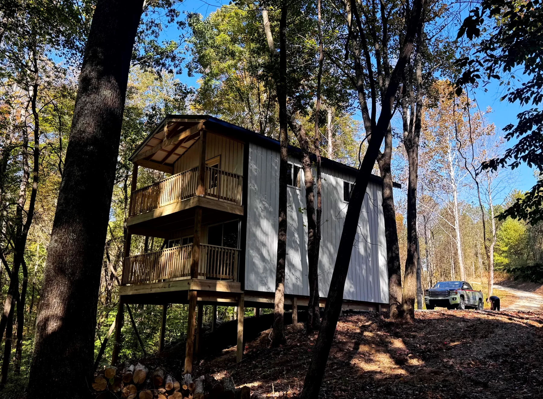
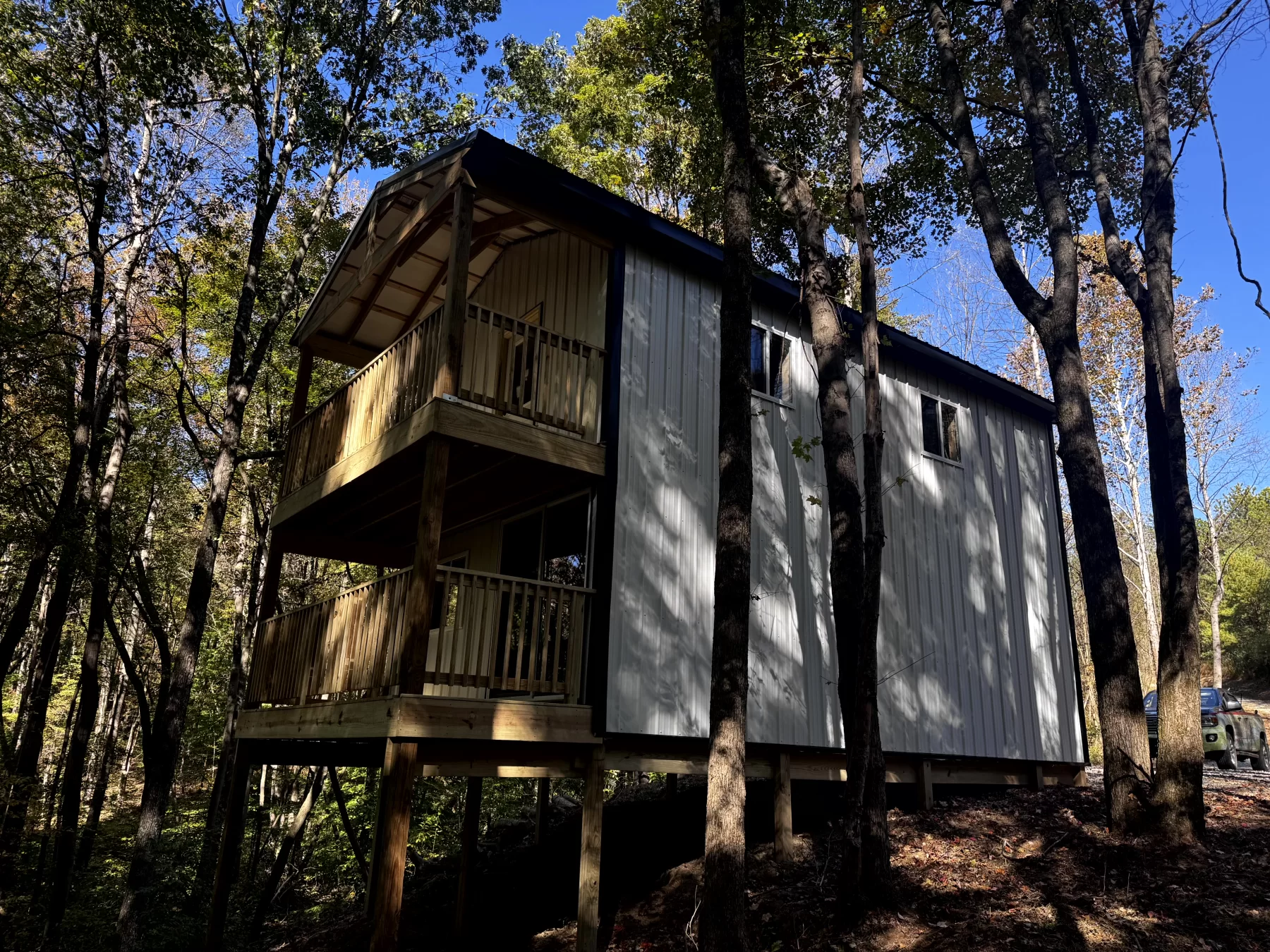
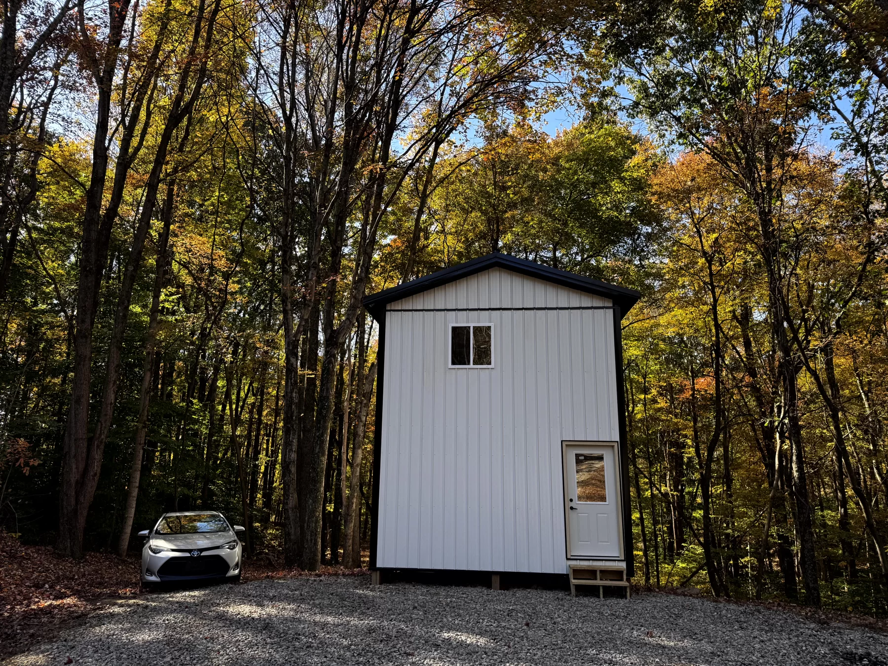
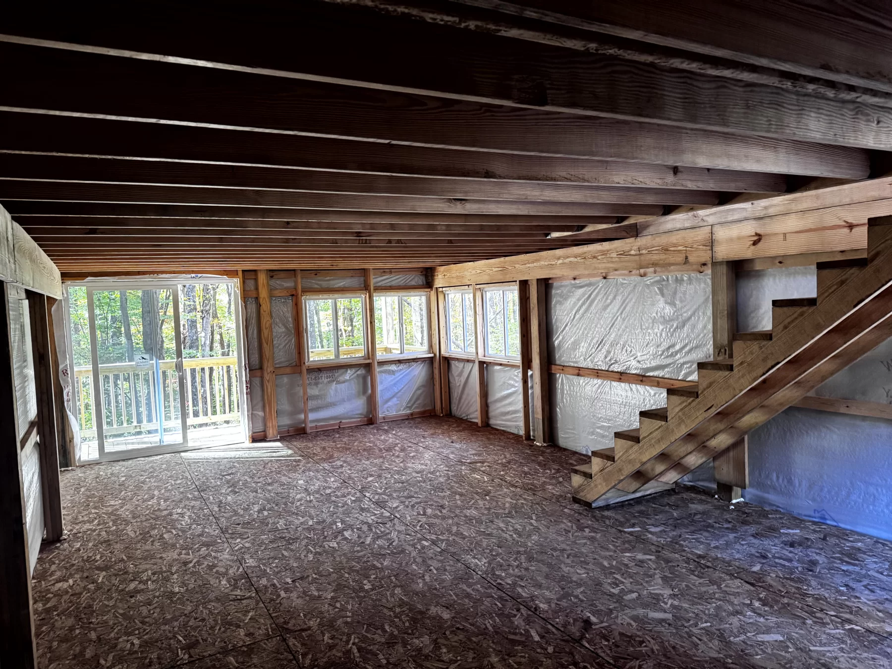
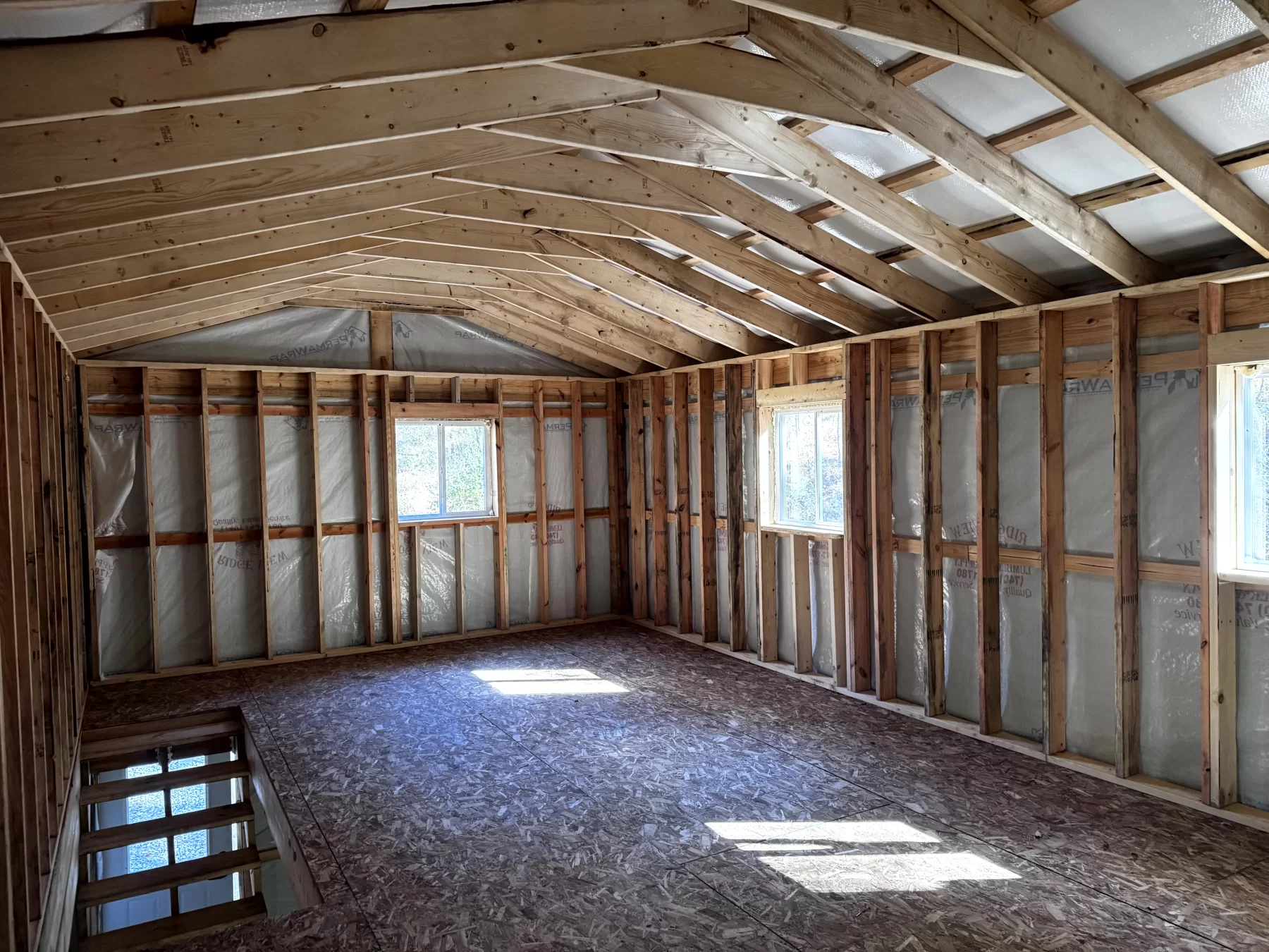
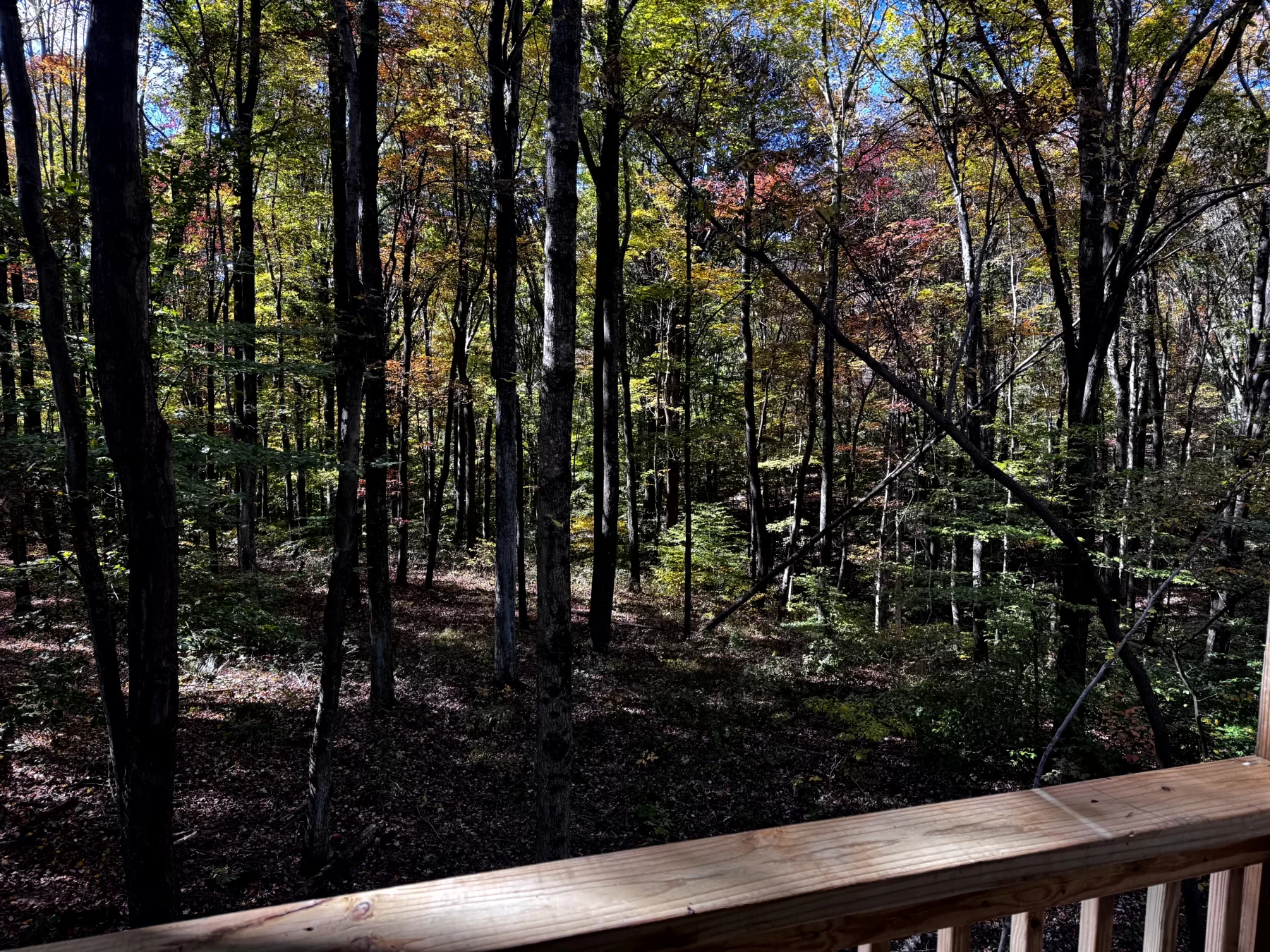
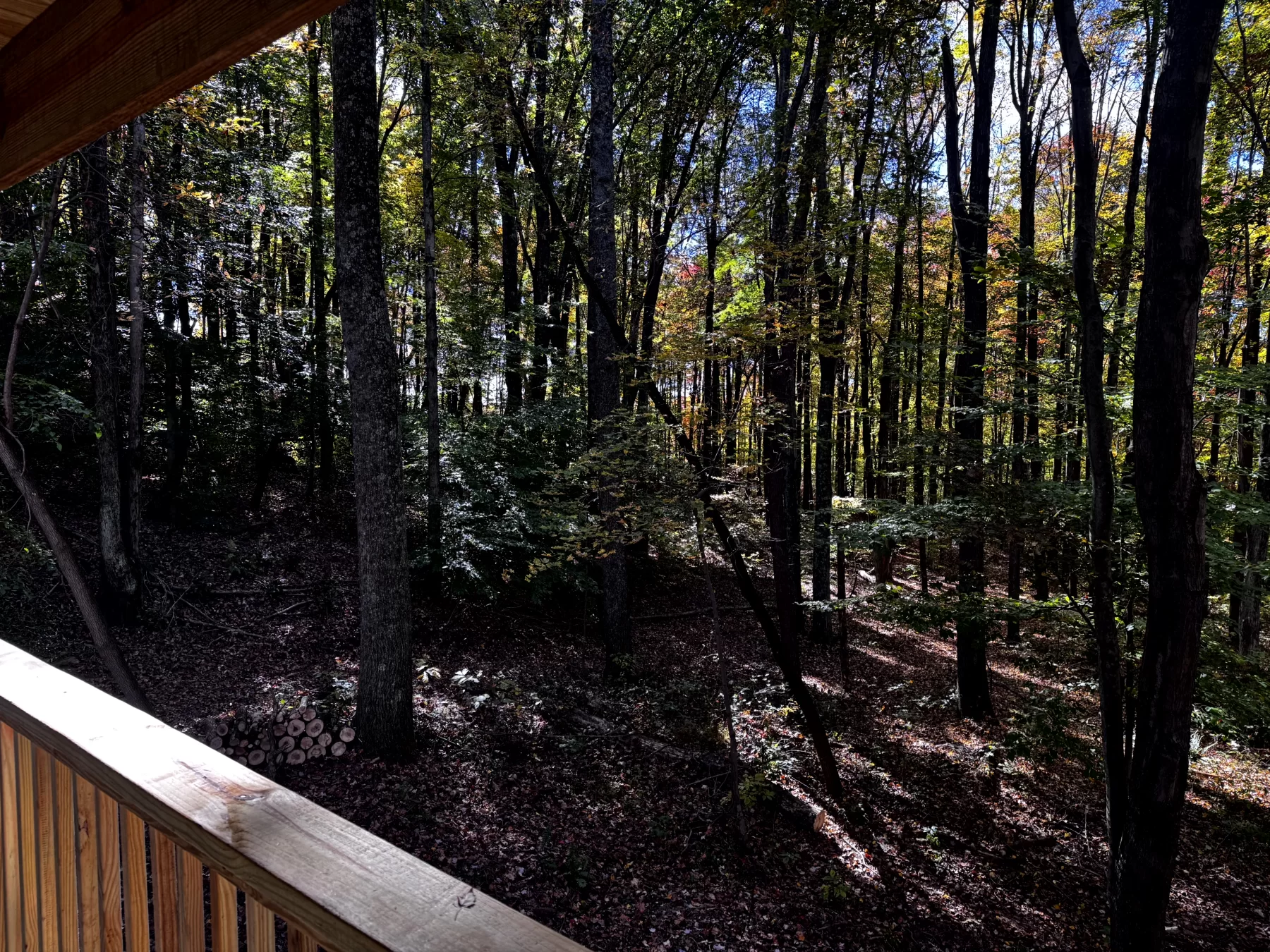
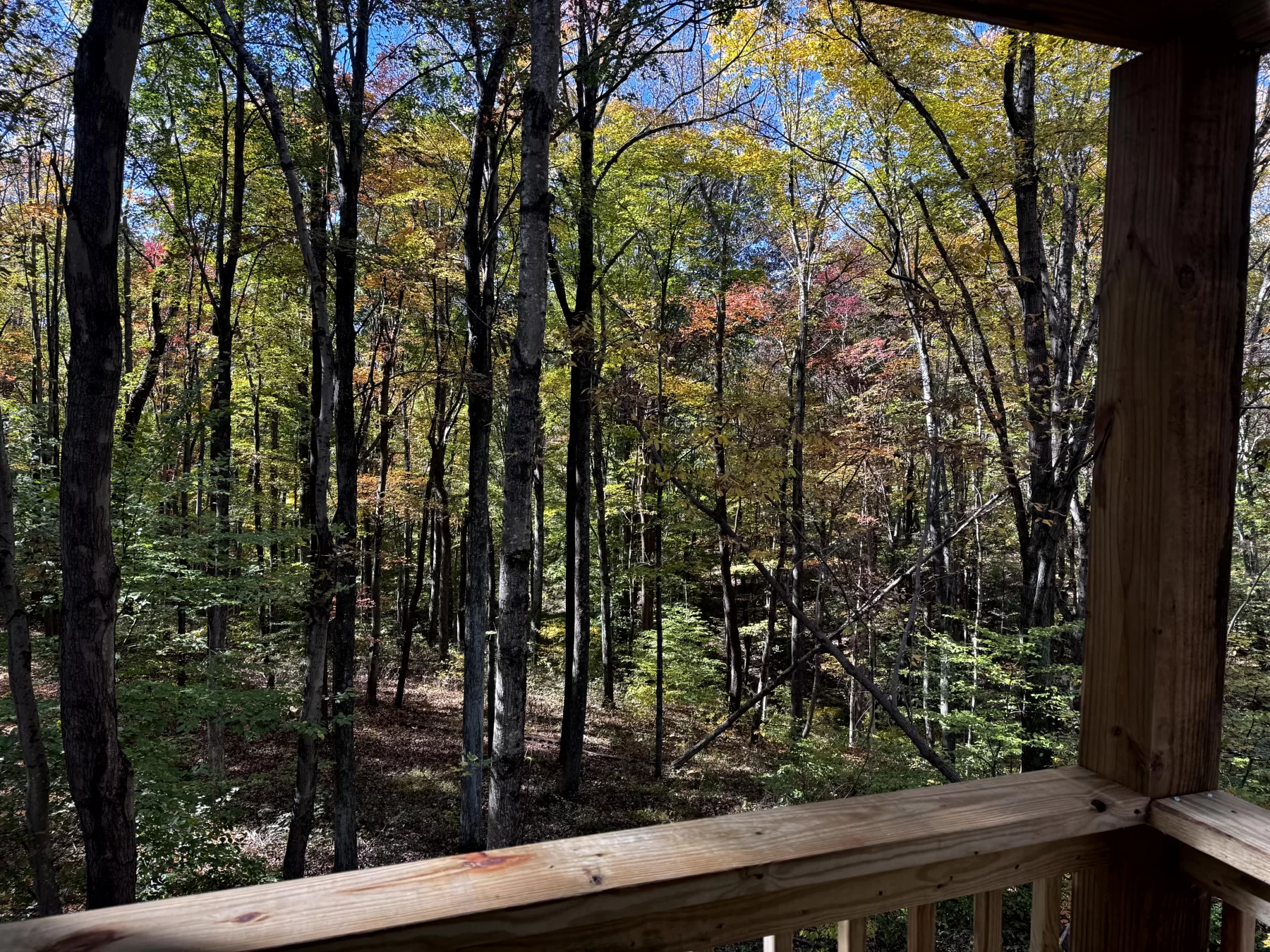
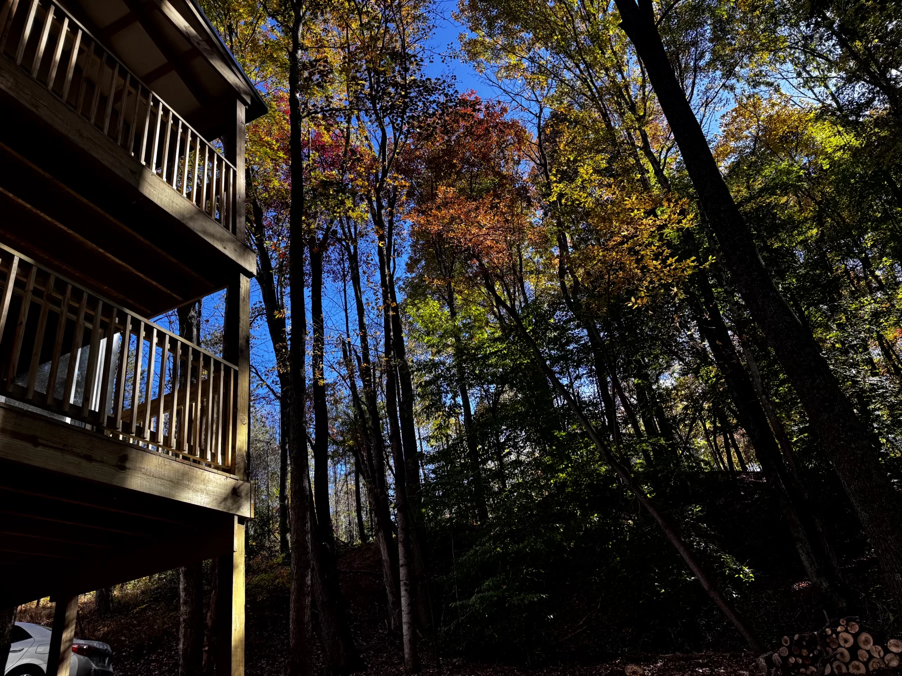
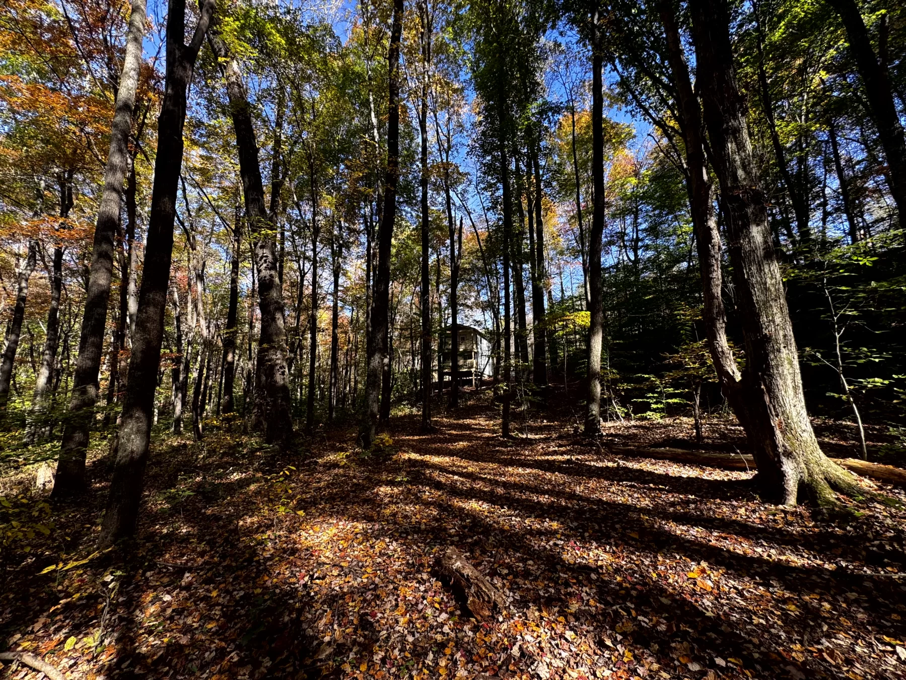
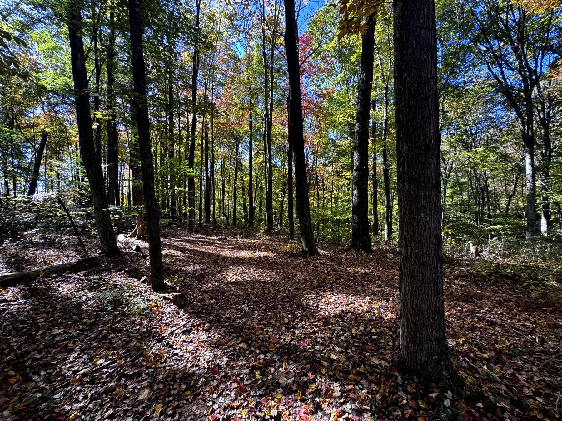
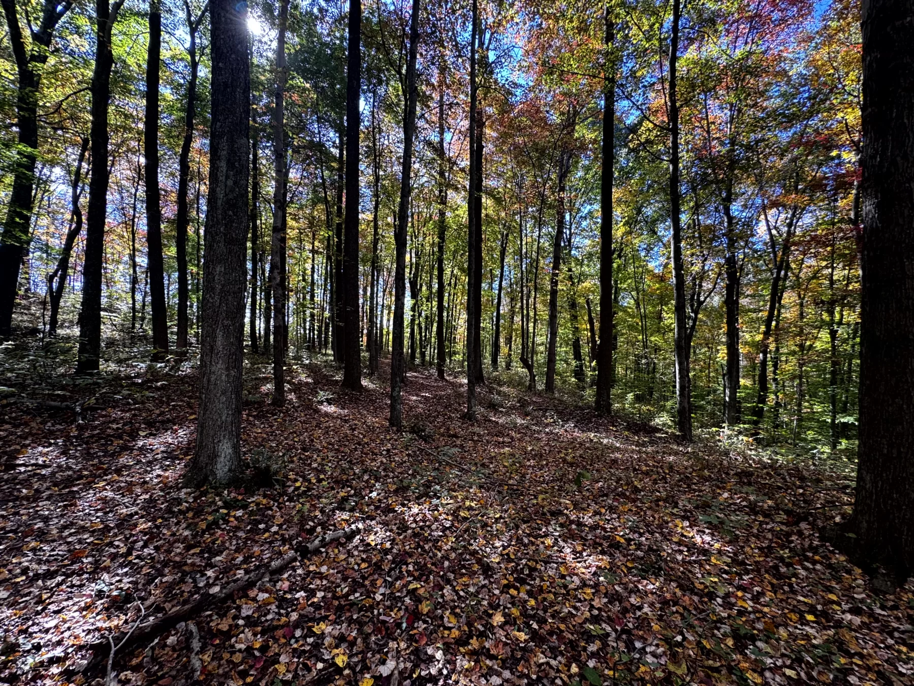
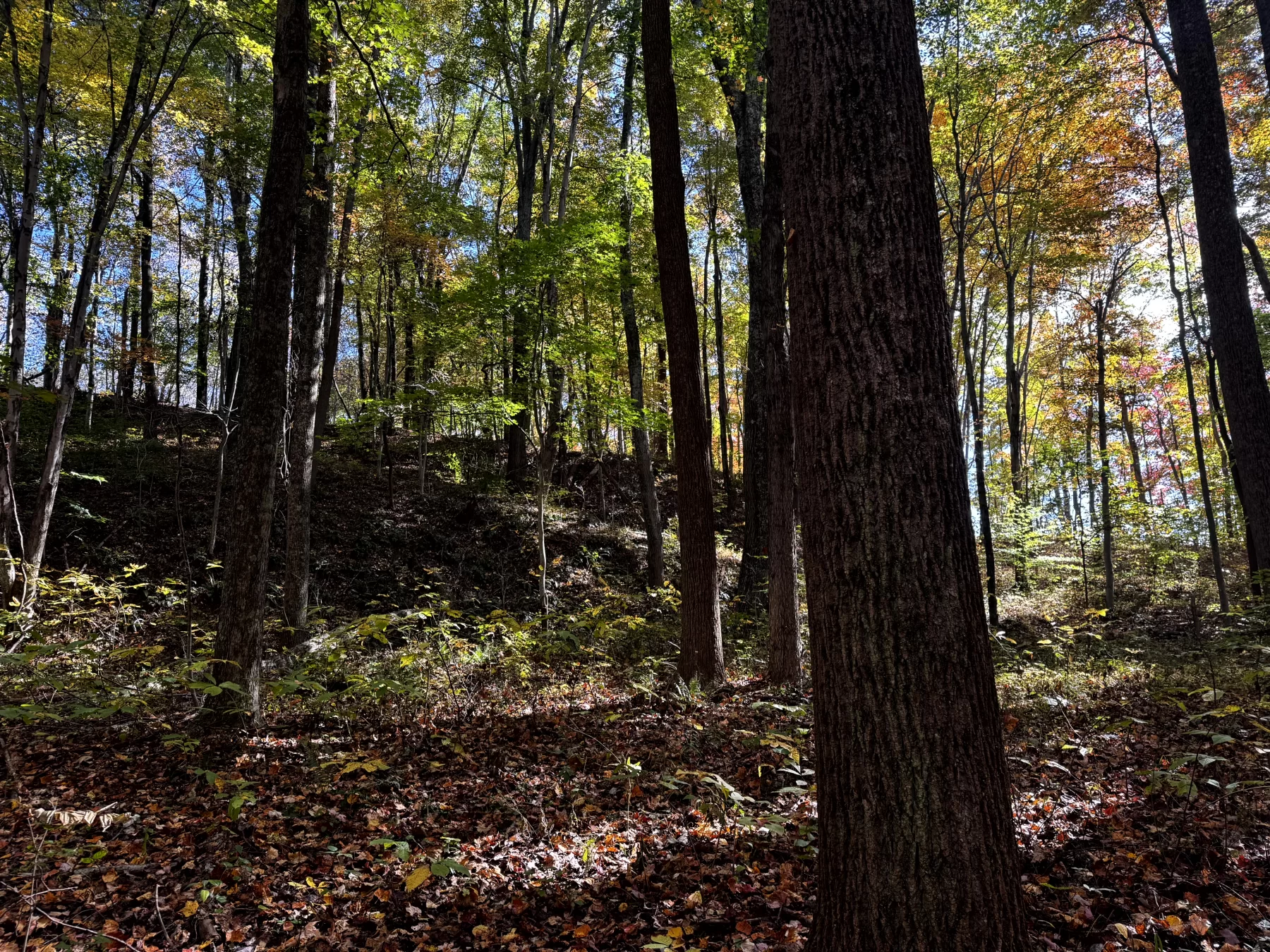
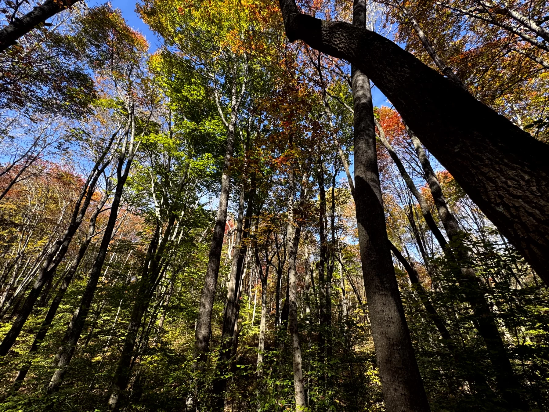
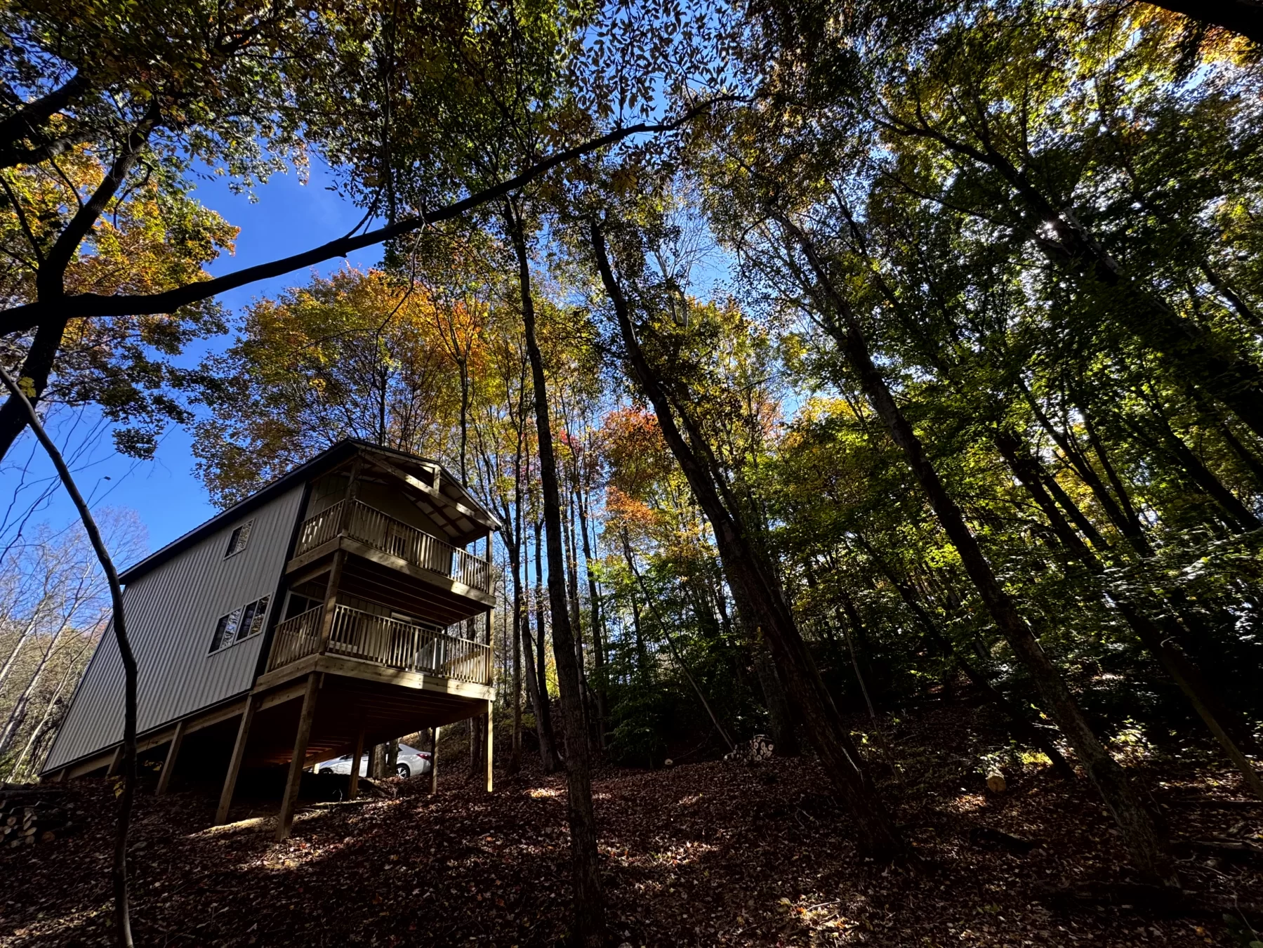
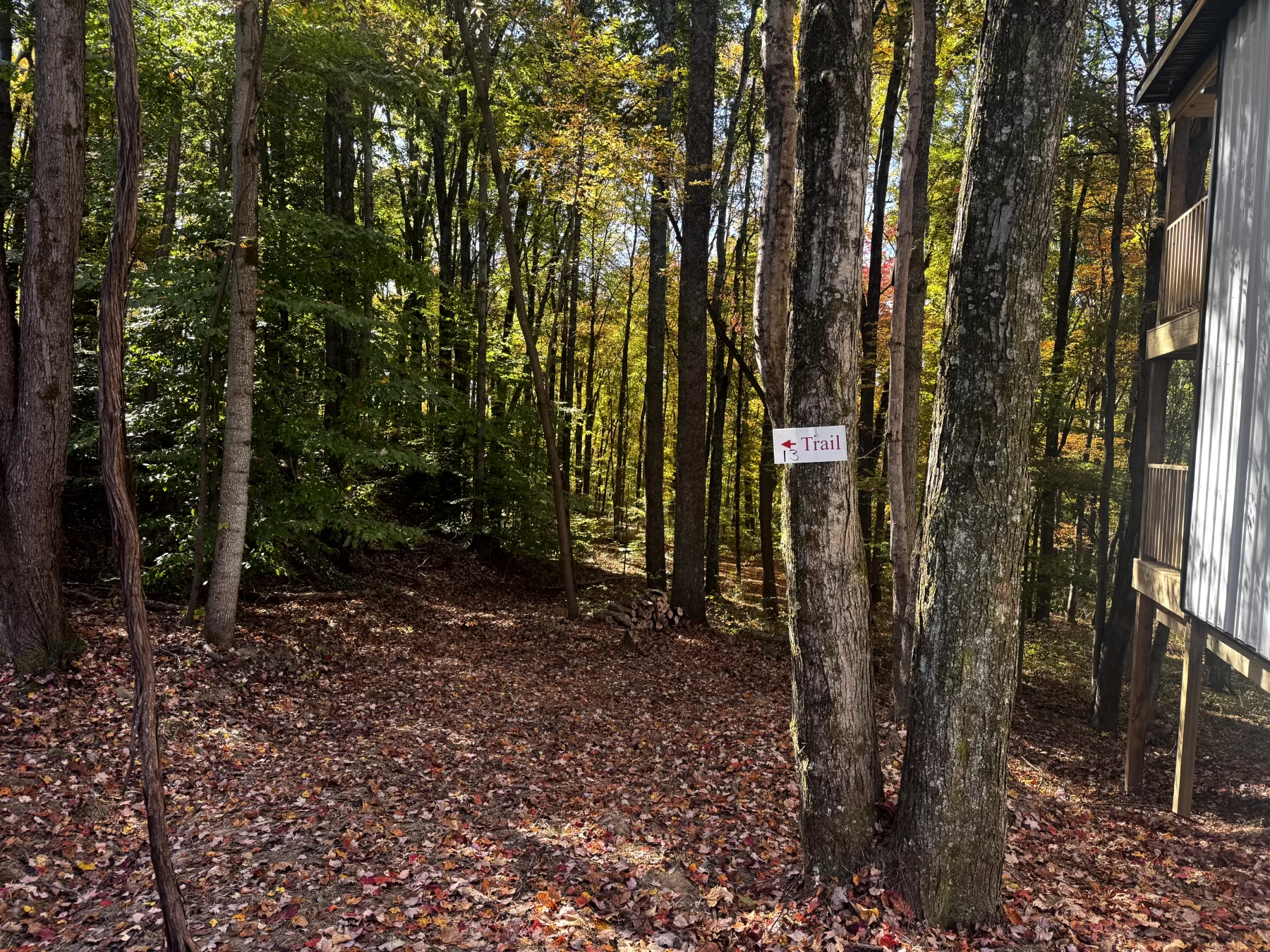
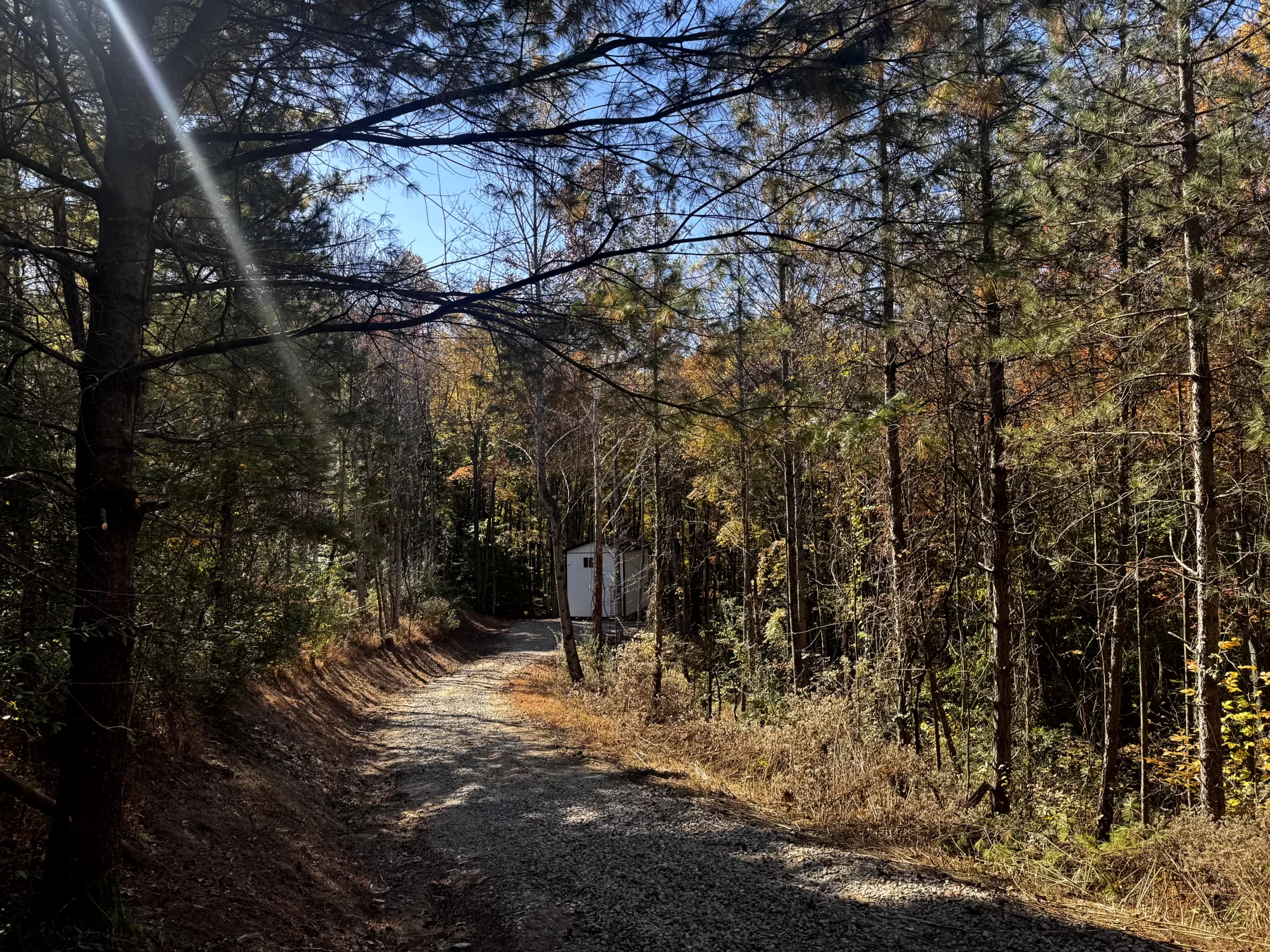
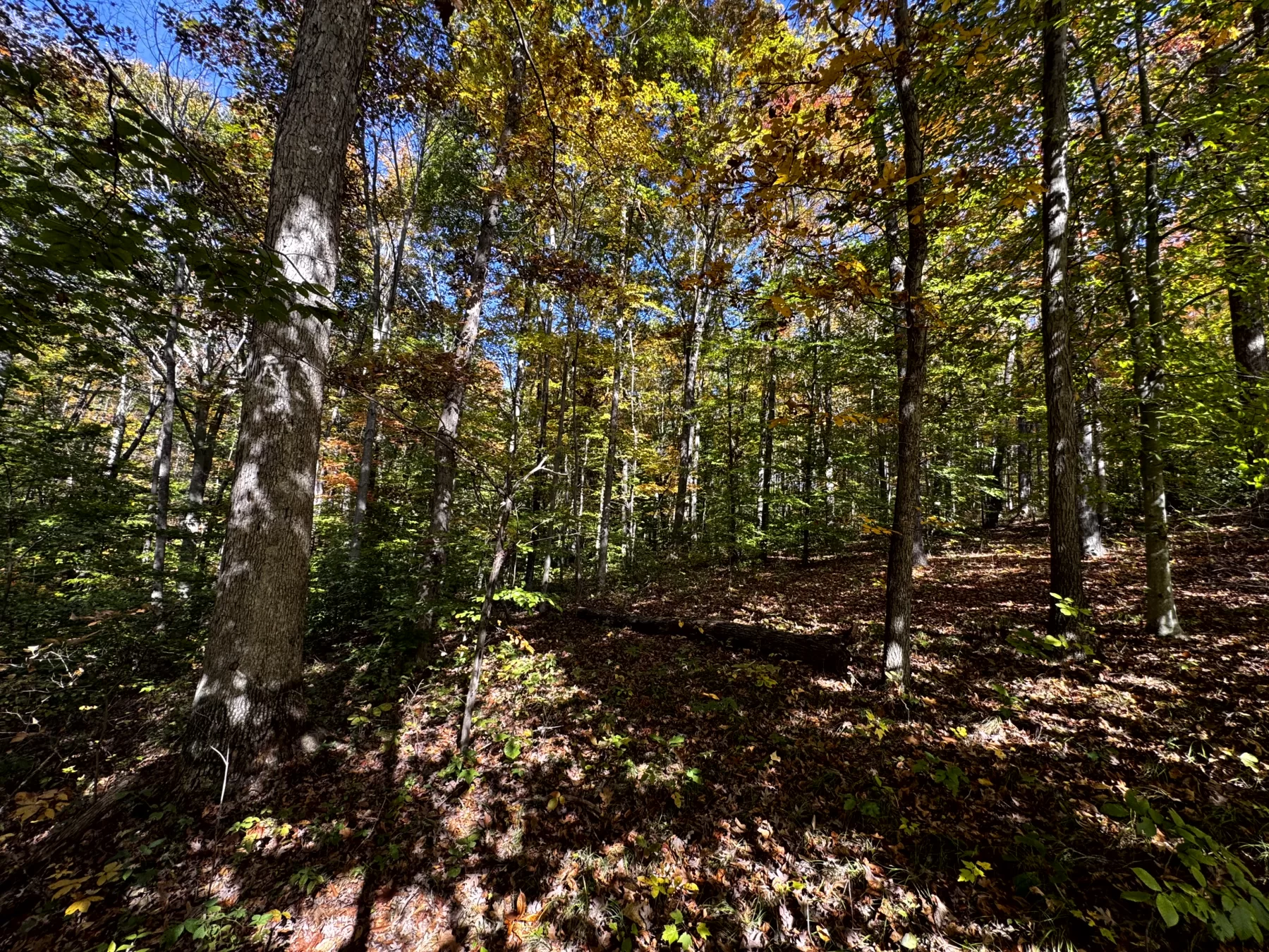
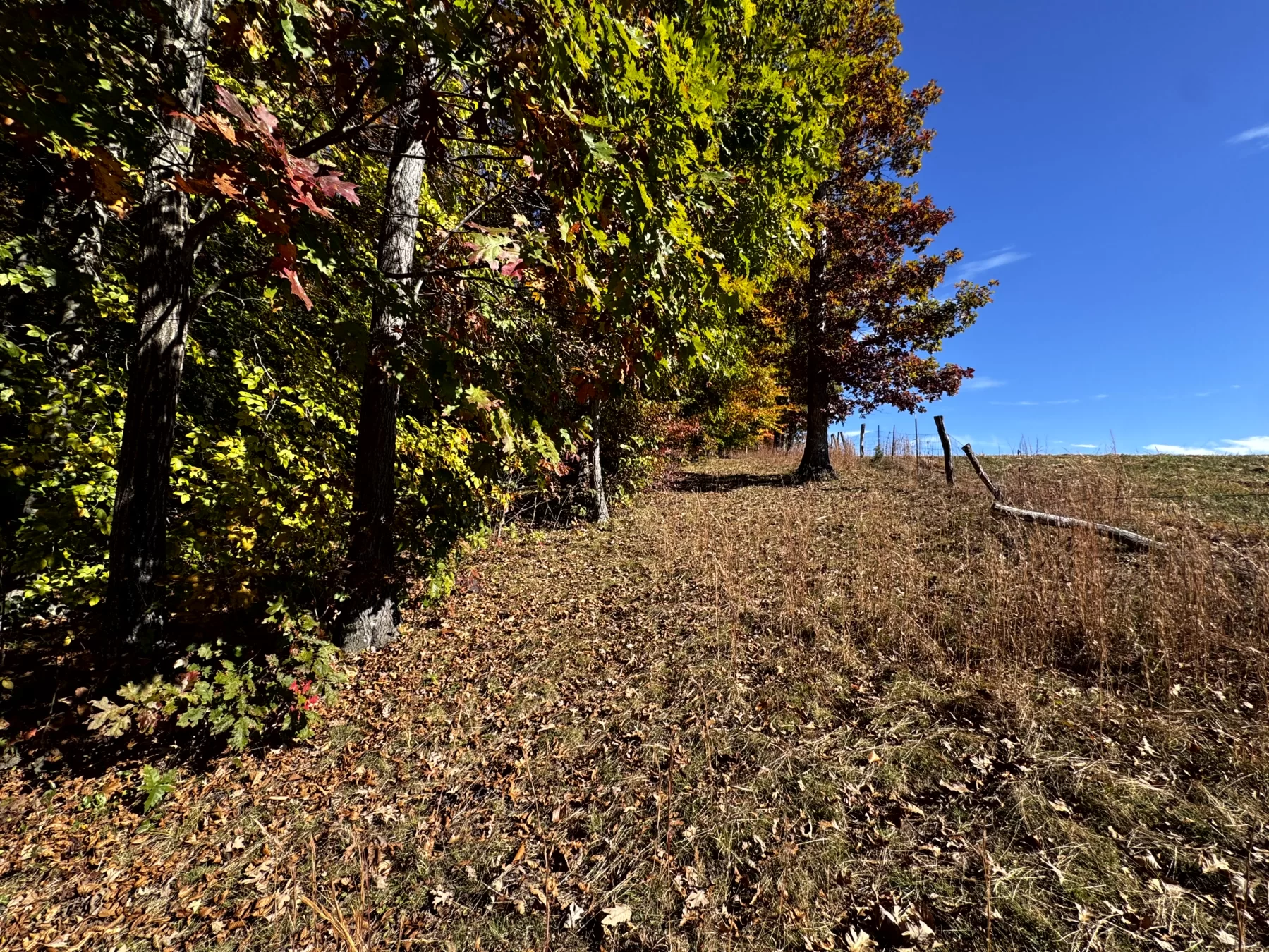
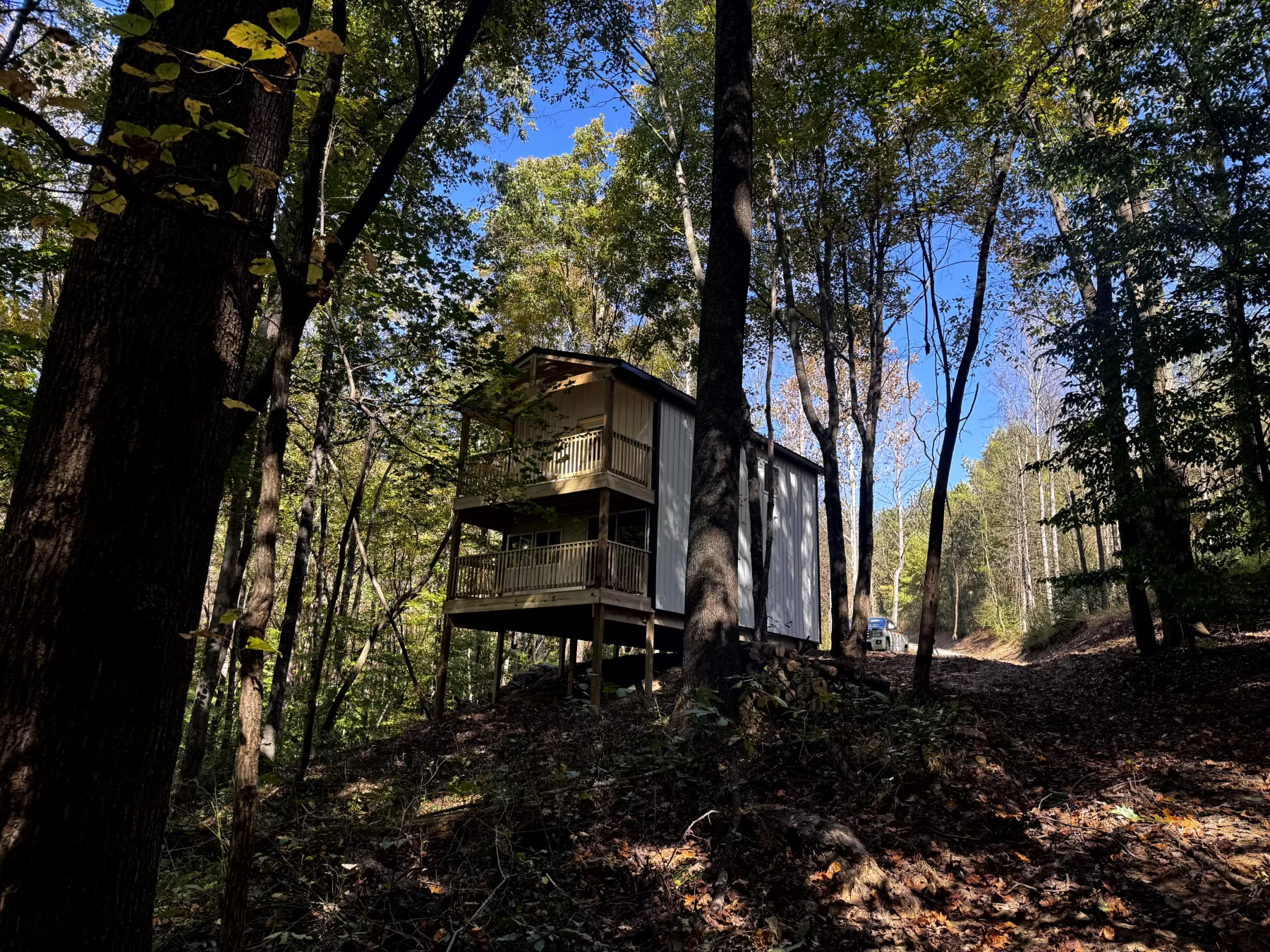
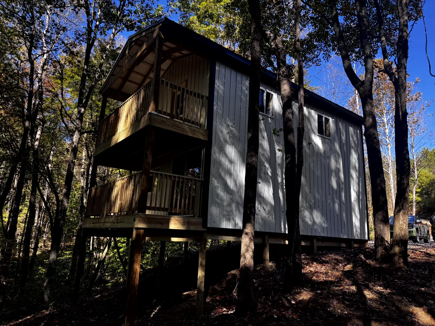
Tract 13 at The Ponds at Poplar Ridge features a new two-story, 16’ x 24’ cabin on 6.768 acres of beautiful mature woods. Two covered decks overlook the surrounding woodland, offering a peaceful spot to relax and watch wildlife. The cabin is ready for weekend camping or can be finished out for living. A new gated gravel driveway leads up to the cabin, while trails throughout the open-canopy woods invite you to explore the rolling terrain and enjoy excellent deer and turkey hunting. Located in Cheshire Township, Gallia County, this scenic country retreat has a fully approved new survey, no zoning, minor deed restrictions and Buckeye Rural Electric on the property, ready to be tapped.- New Two-Story Cabin Tucked in the Woods
- 16’ x 24’ Cabin with 16’ x 6’ Porches
- Two Covered Porches with Stunning Views of the Woods
- Cabin Ready to be Camped in or Finished out to Live In
- Wooded Home/Cabin Site or Recreational Retreat
- Beautiful Mature Open-Canopy Woods with Trails Throughout
- Rolling Topography with Stunning Views
- Gated Gravel Driveway Leading to the Cabin in the Woods
- Picturesque Park-like Setting
- Beautiful Remote Country Setting
- Loaded with Wildlife
- Excellent Deer and Turkey Hunting
- 6.768 Ac - Survey (Fully Approved)
- Tract 13 at The Ponds at Poplar Ridge
- Additional Tracts Available
- No Zoning and Minor Deed Restrictions
- Buckeye Rural Electric On Property, Ready to be Tapped
- Cheshire Twp, Gallia County
- Gallia County Local School District
- Parcel # 00300251814
A Countrytyme advantage
Take the property lines into the field.
On your phone, tap Walk property lines, allow your location when asked, and follow the blue dot in Tract Explorer to see your position in relation to the mapped boundary while you explore.
Walk property linesProperty photos