This property has sold.
The interactive map and property-line walking tools remain available. Driving directions are not provided for sold properties.
Interactive property map
Explore this property map. Switch aerial, topographic, soil, water, contour, and terrain layers while the mapped project boundary stays visible.
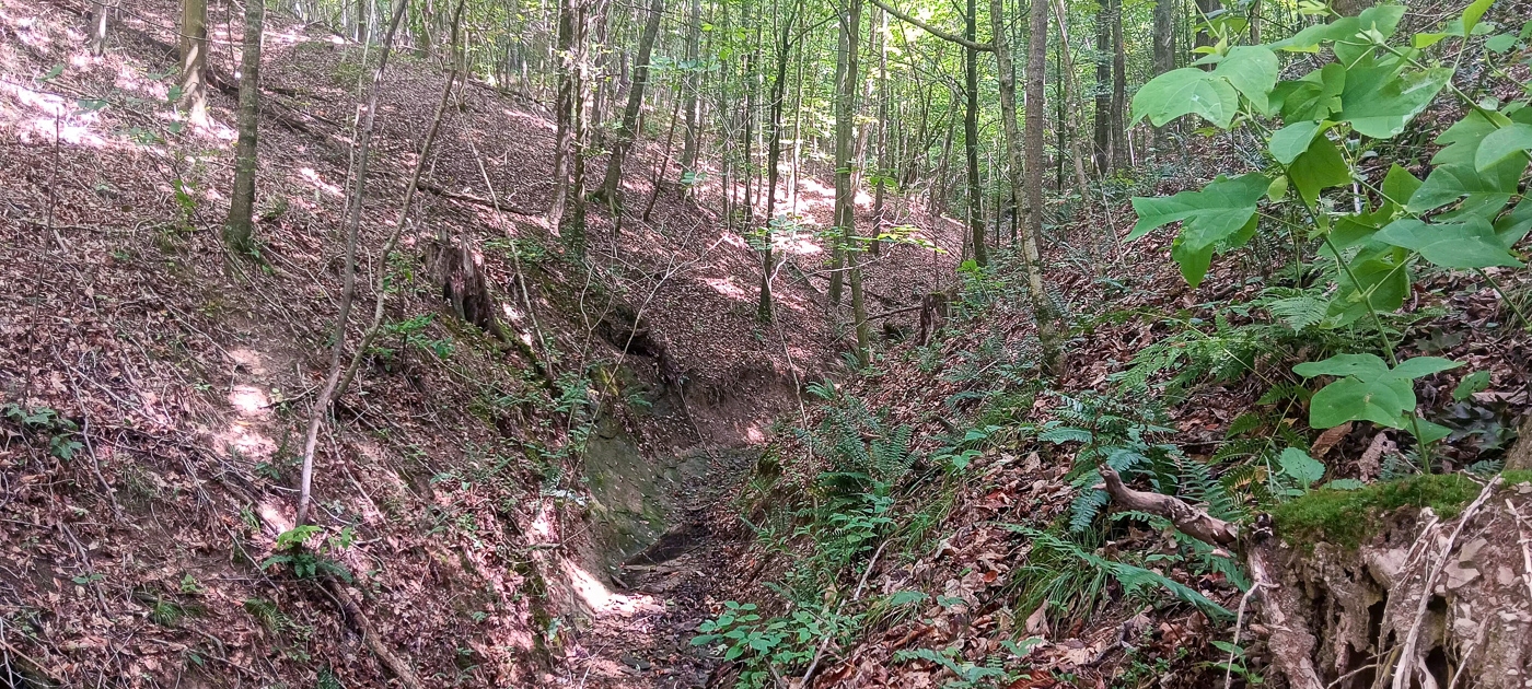
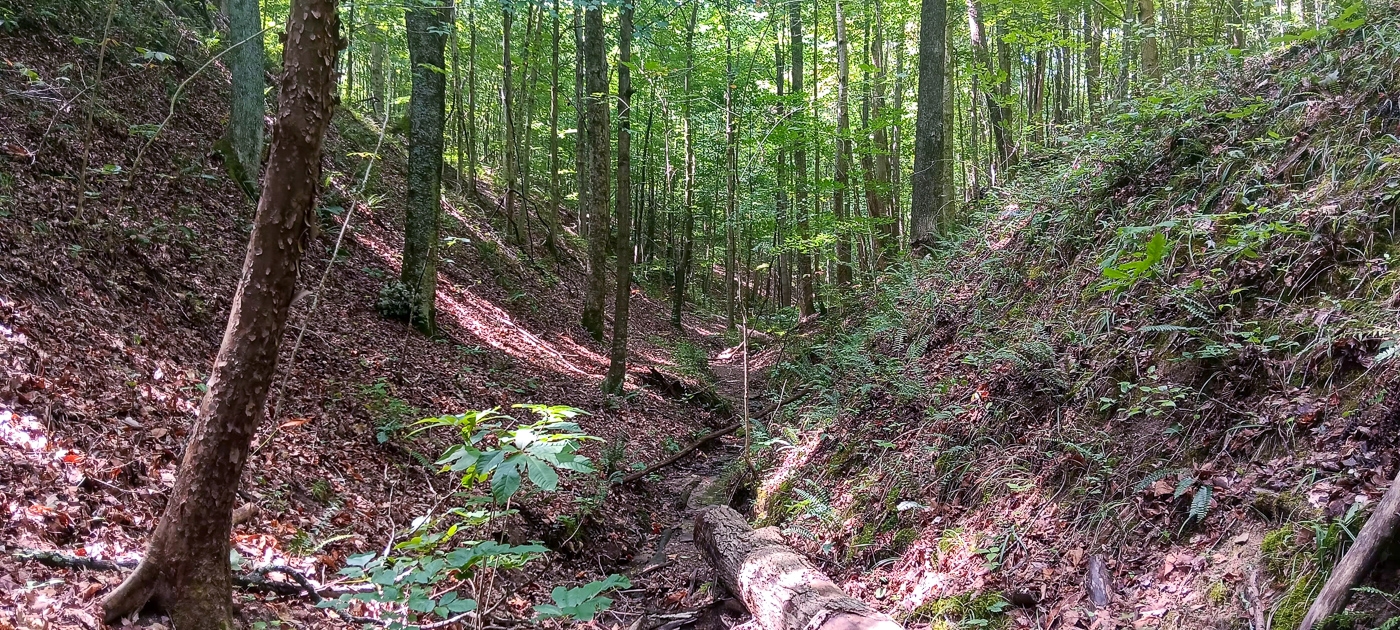
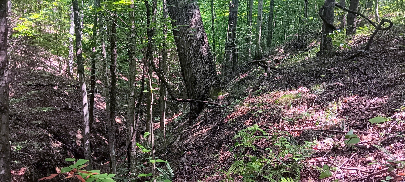
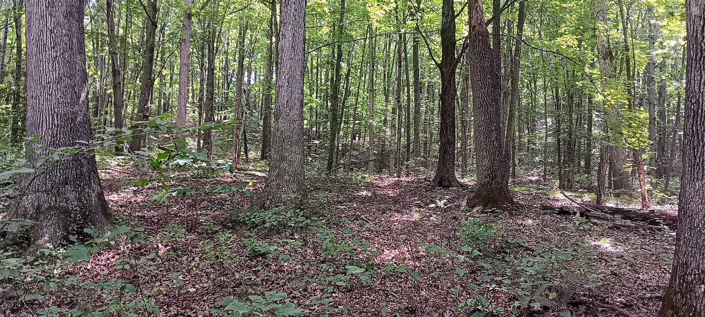
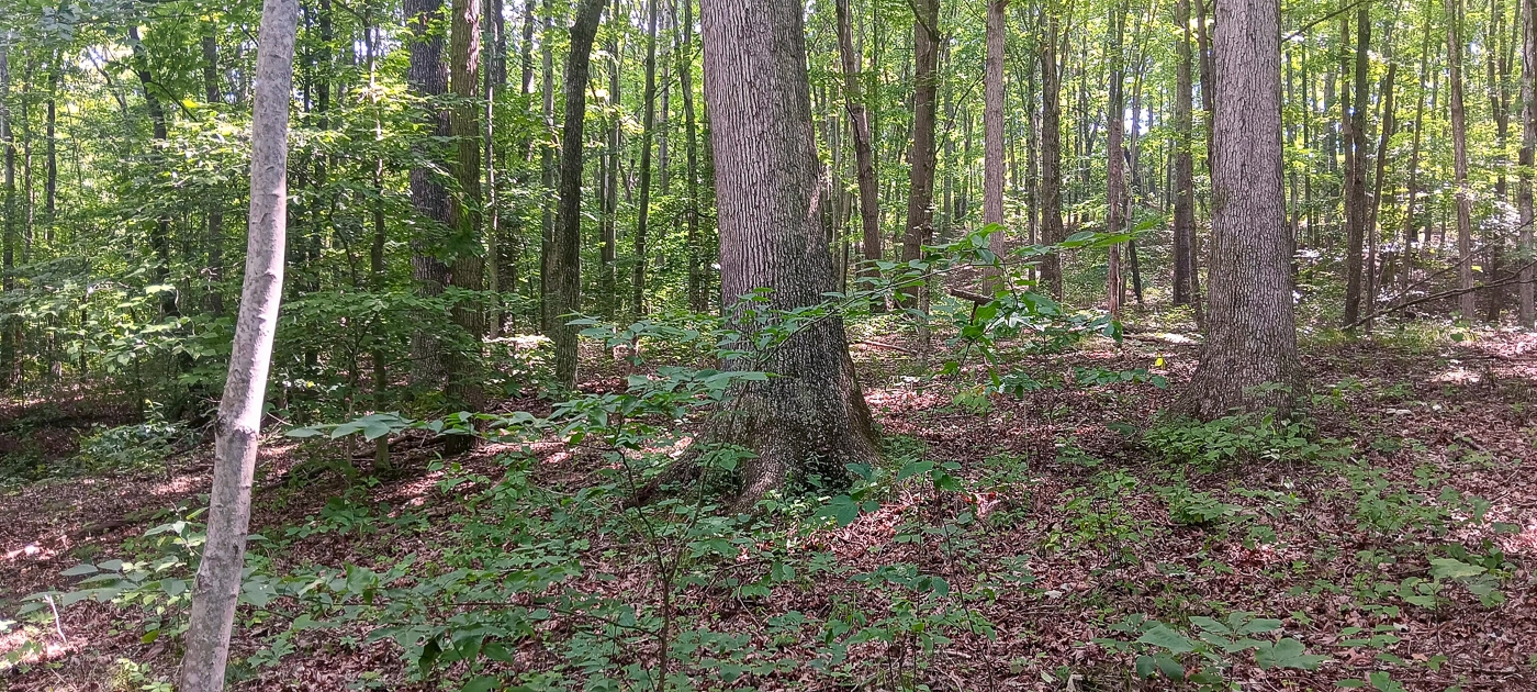
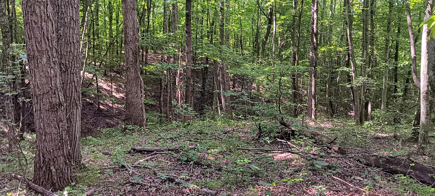
Property Description Tract 1 - The Caves at KeystoneWooded Retreat with Tremendous Rock Features
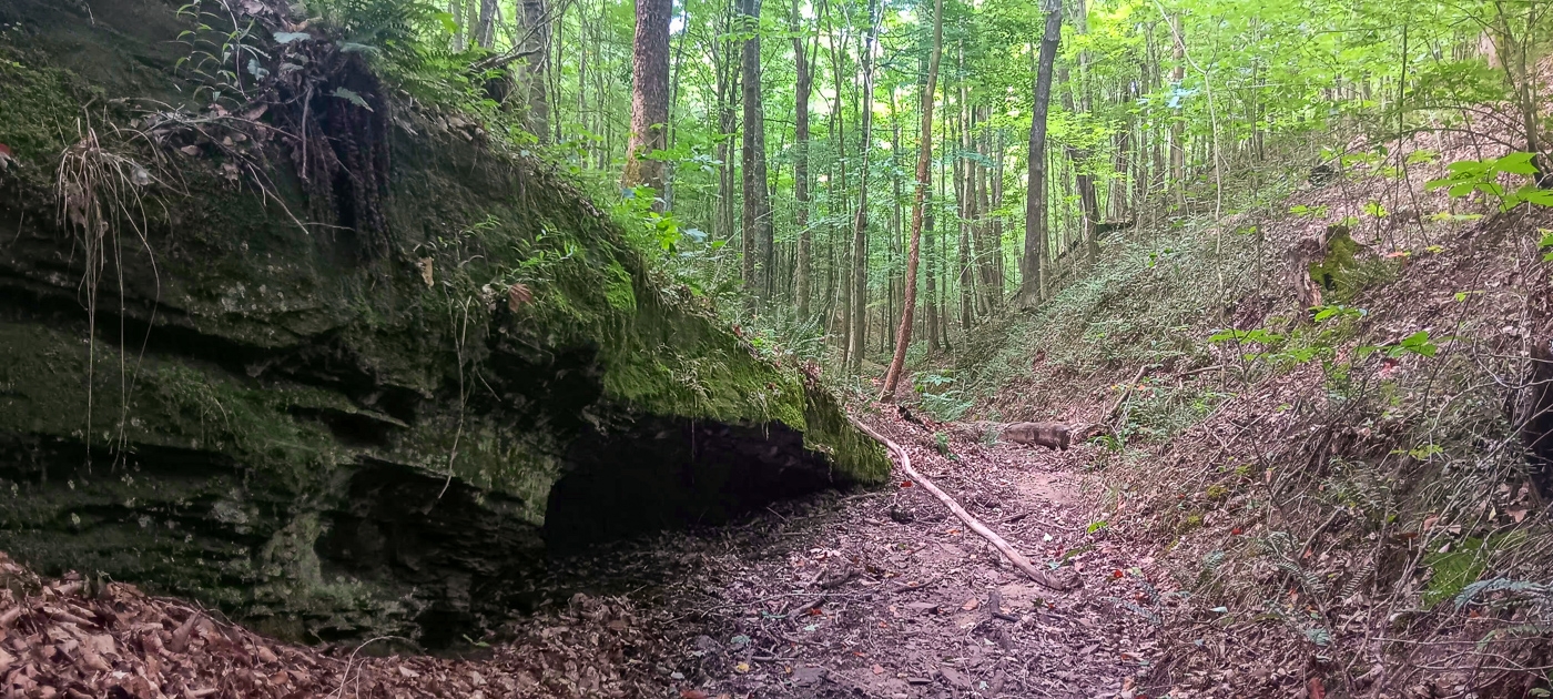
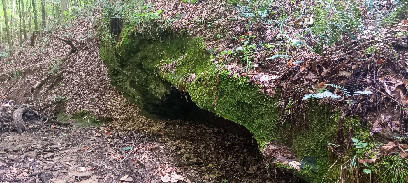
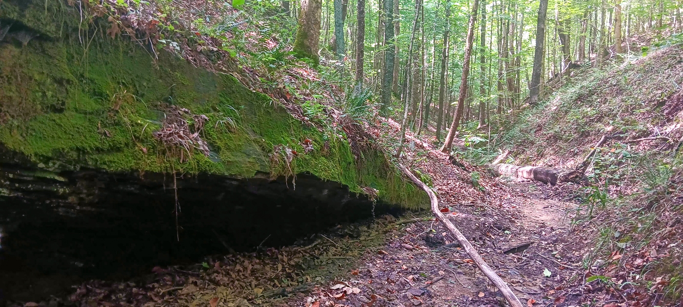
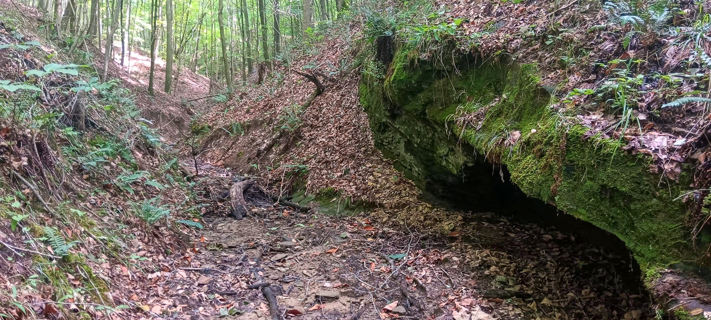
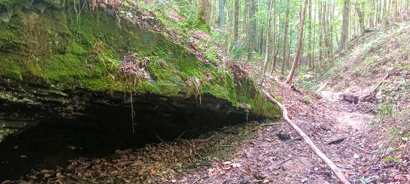
Beautiful Rock Outcropping with Small Cave
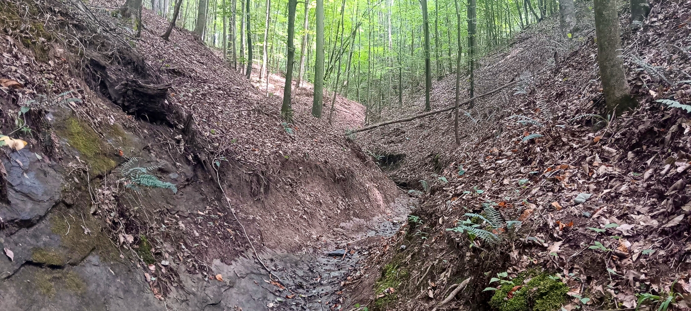
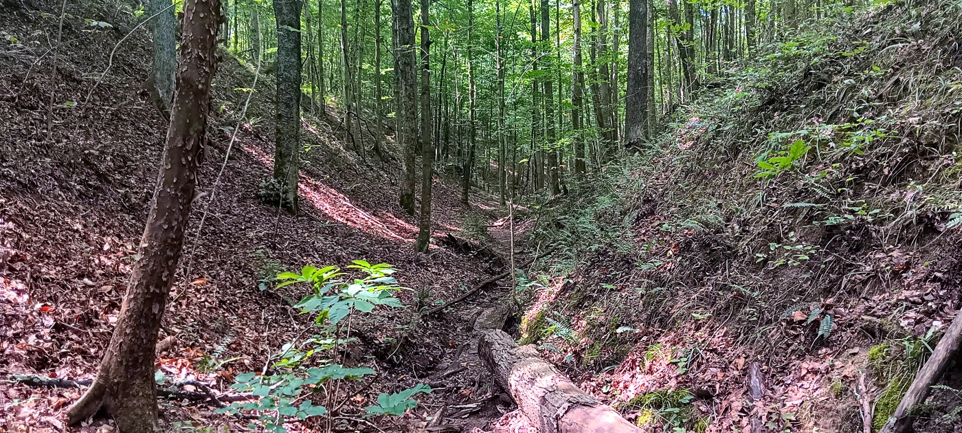
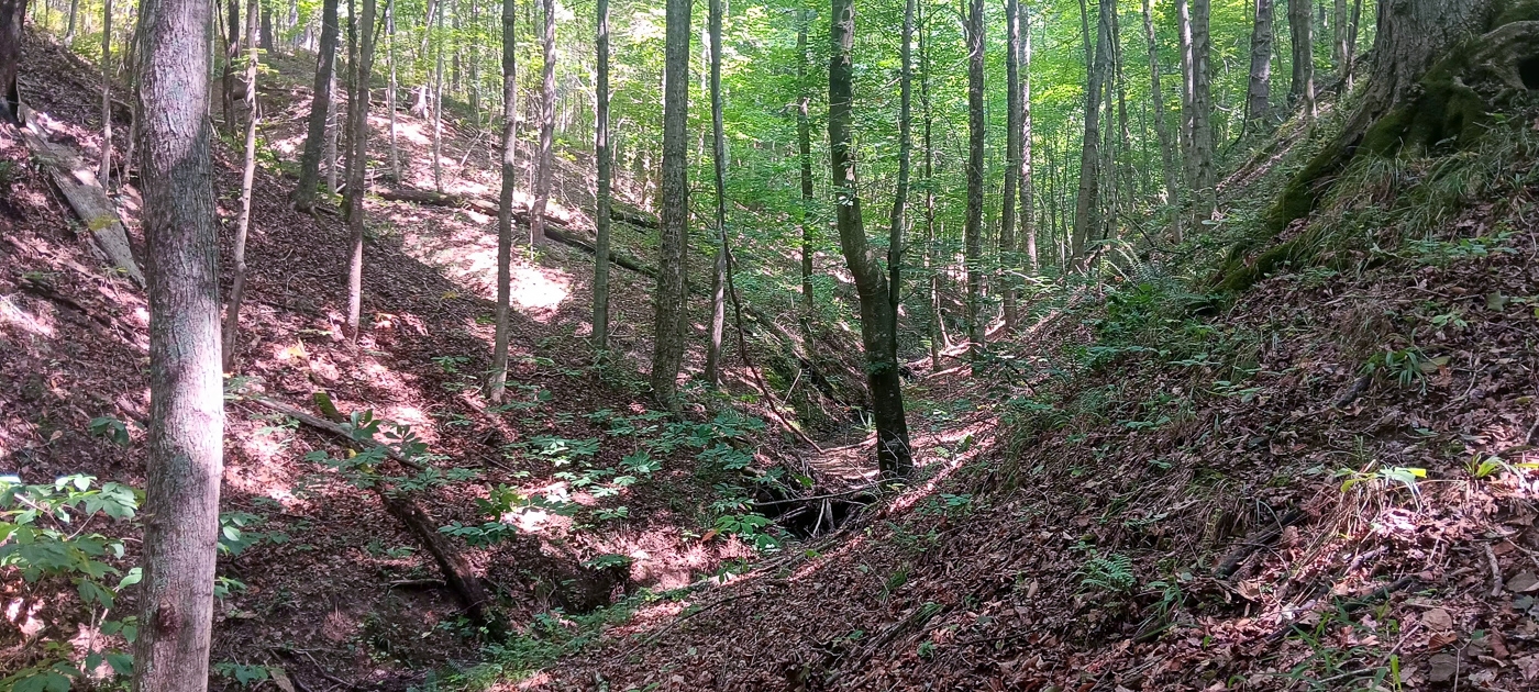
Unique Rock-Bottom Seasonal Stream
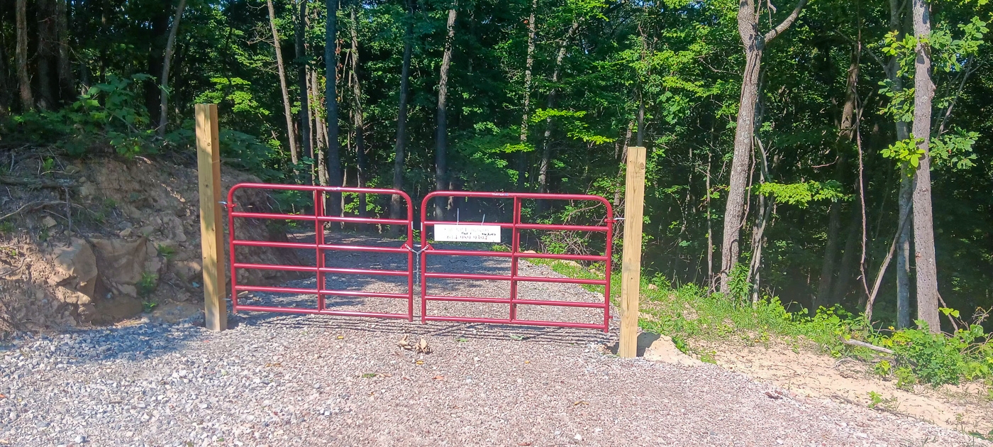
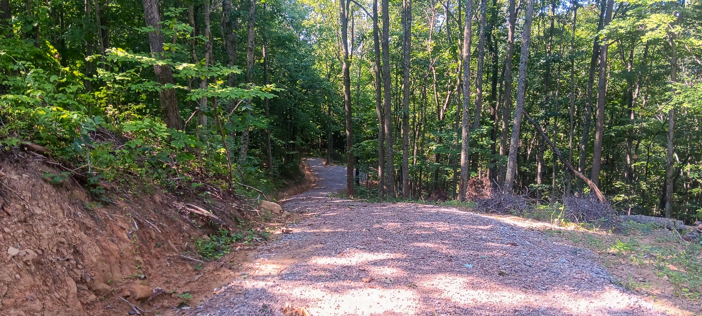
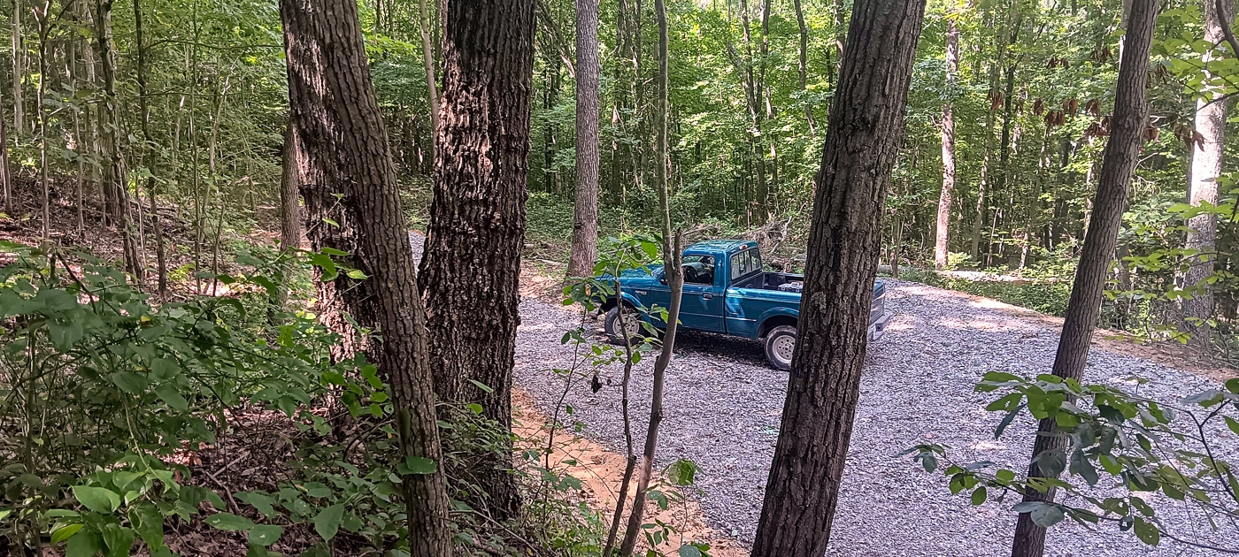
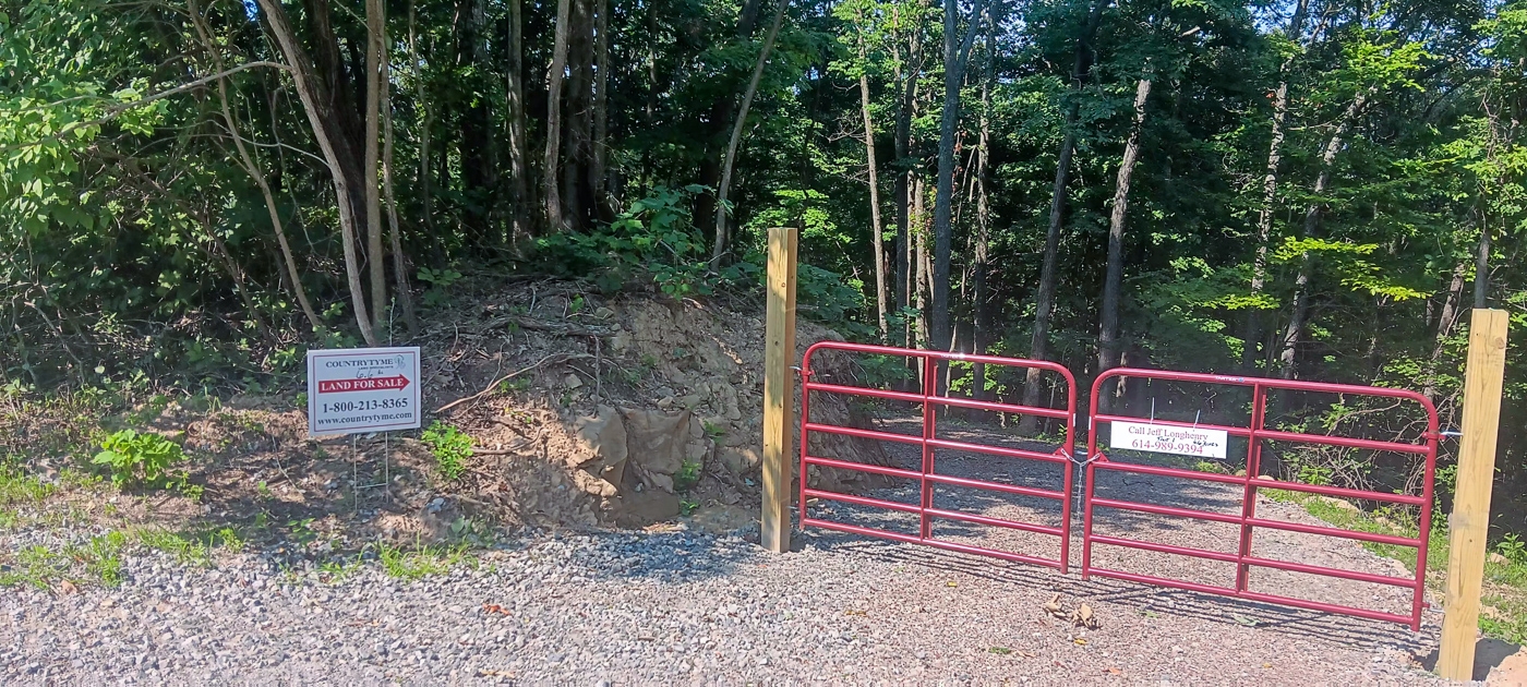
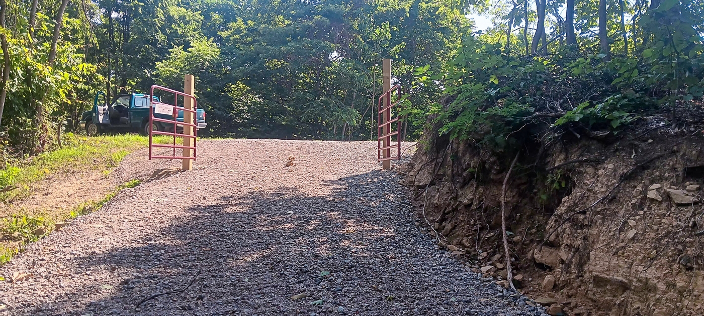
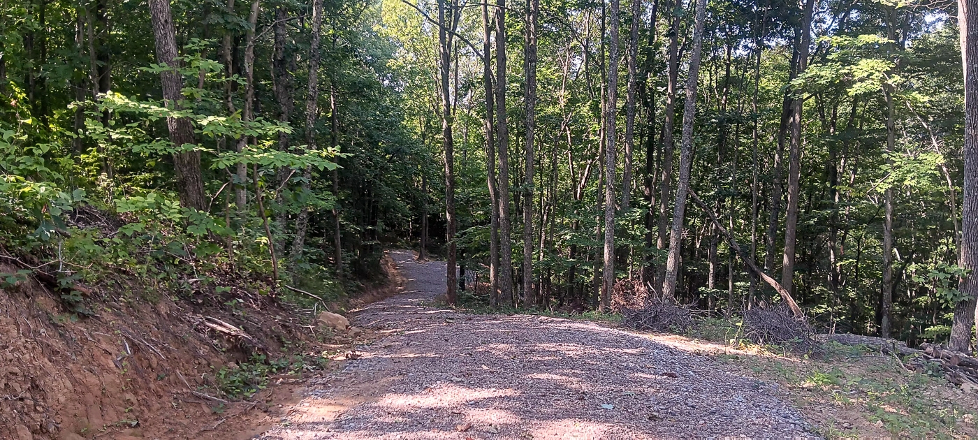
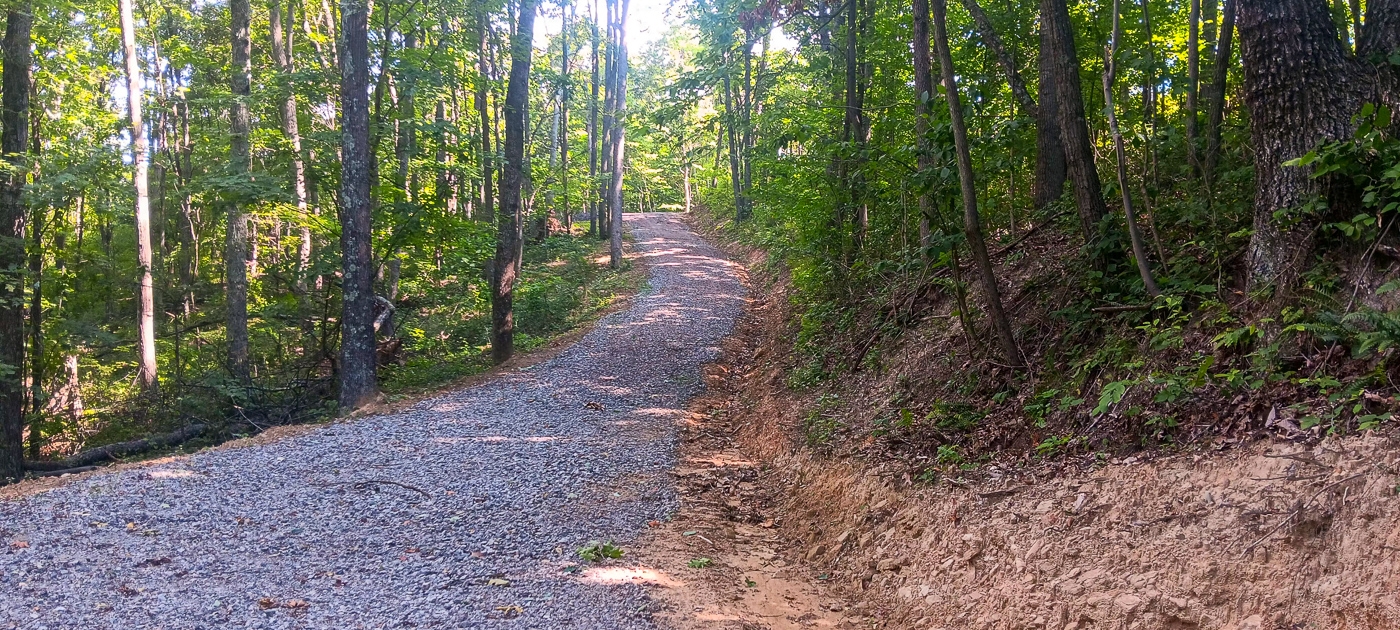
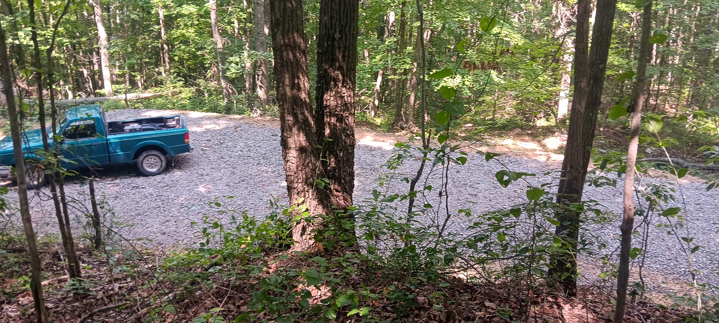
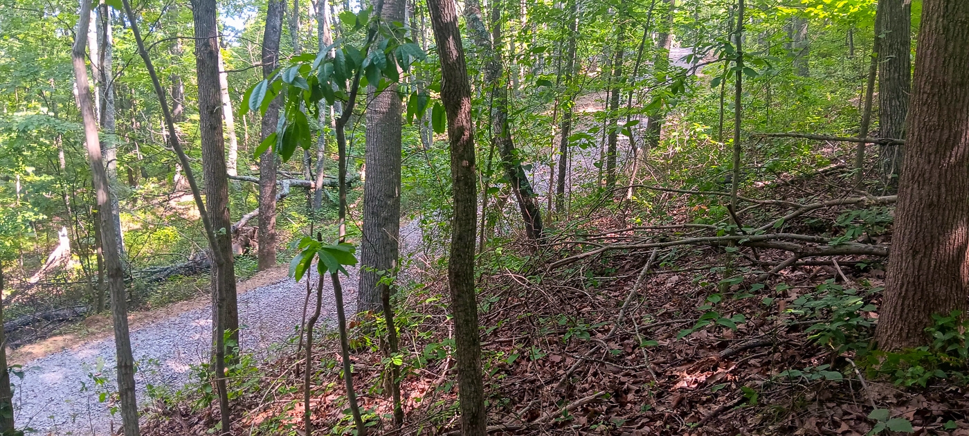
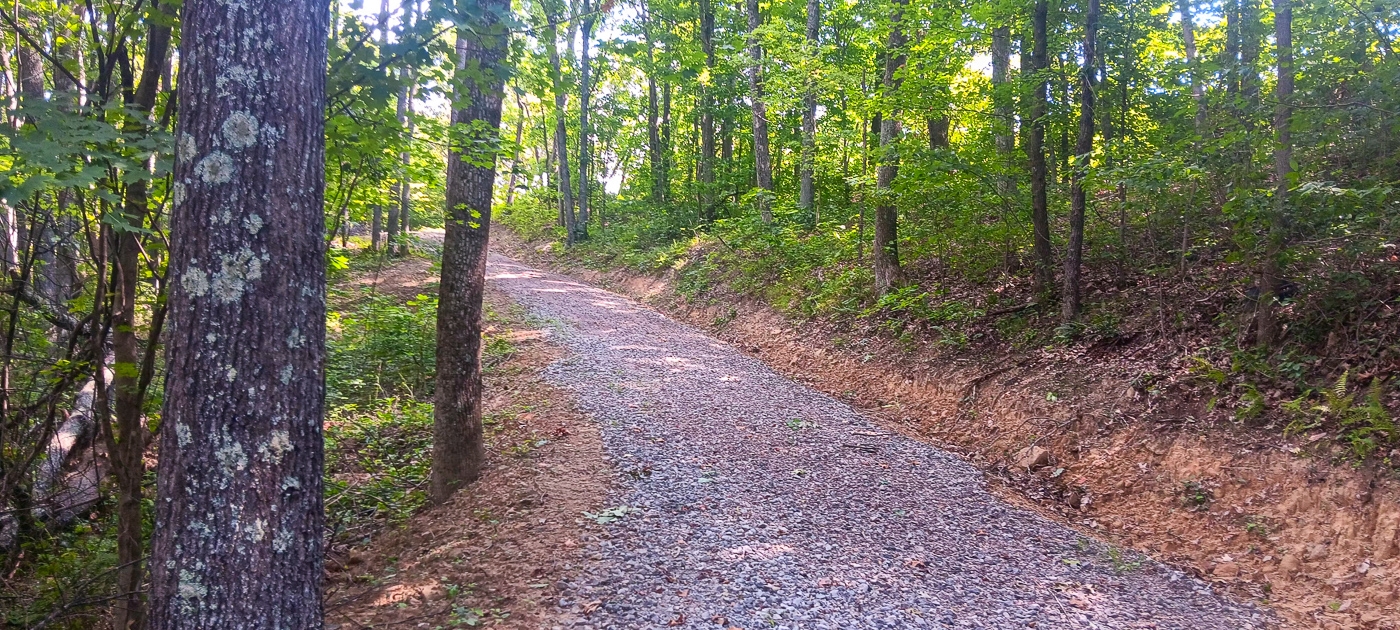
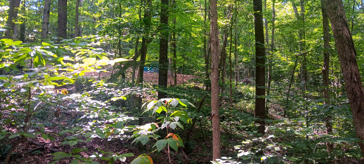
New Gated Gravel Driveway
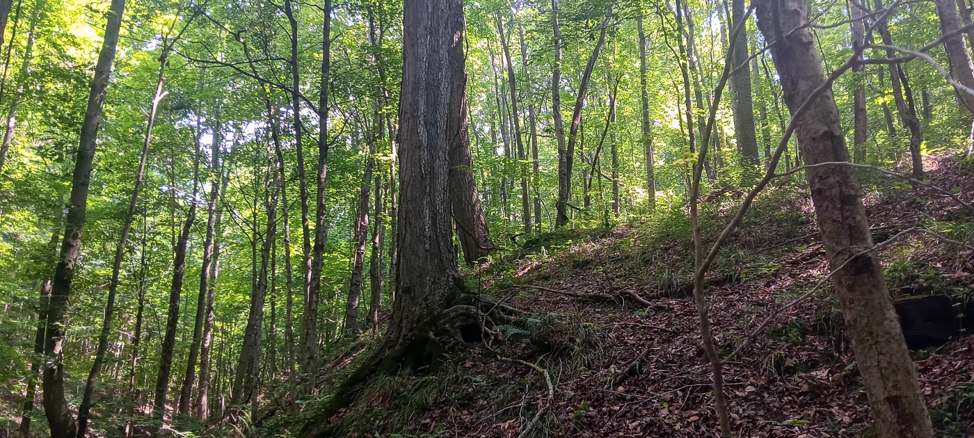
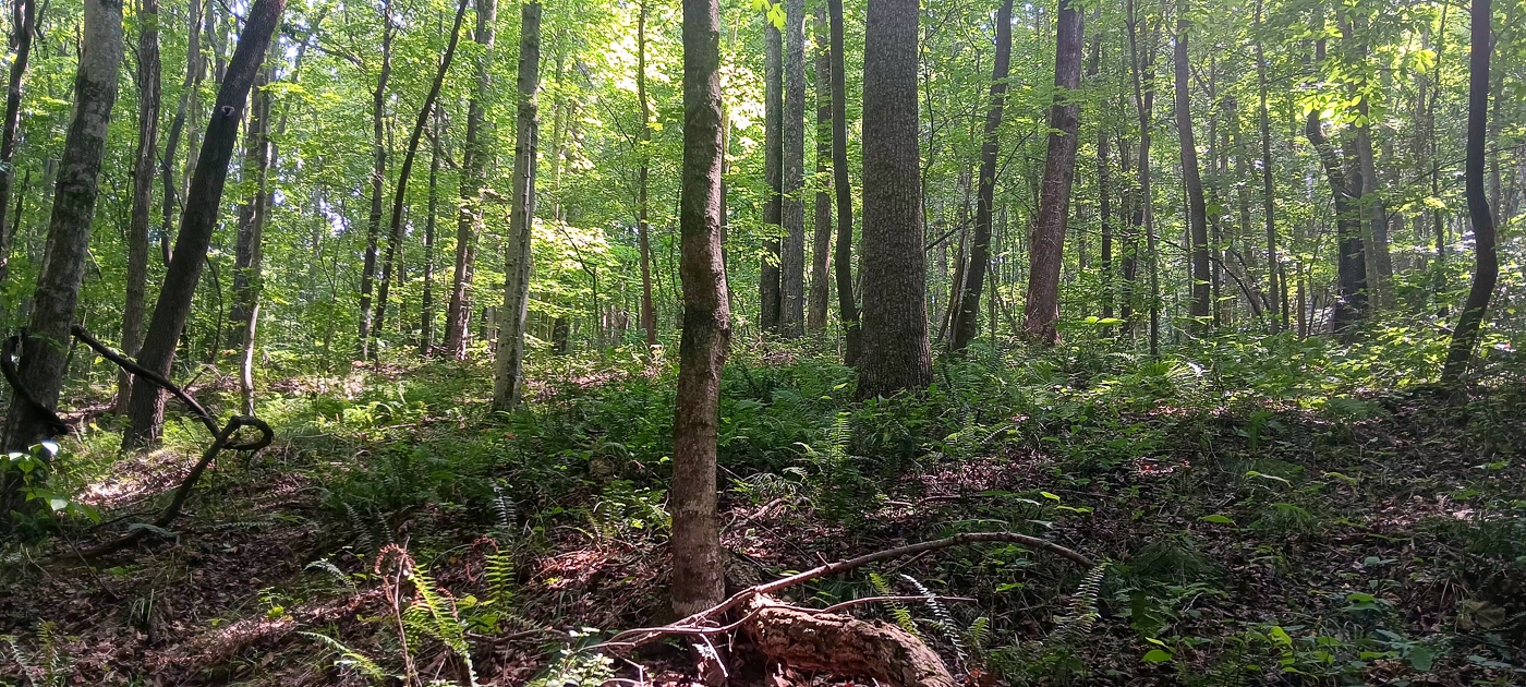
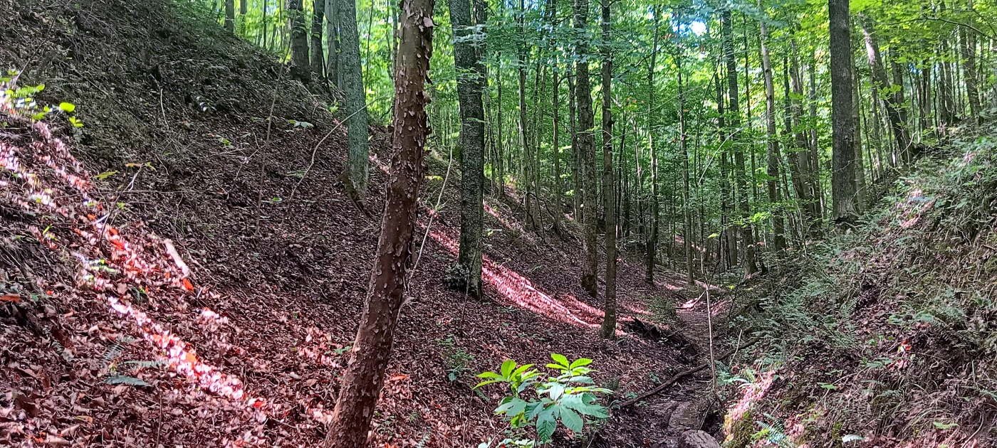
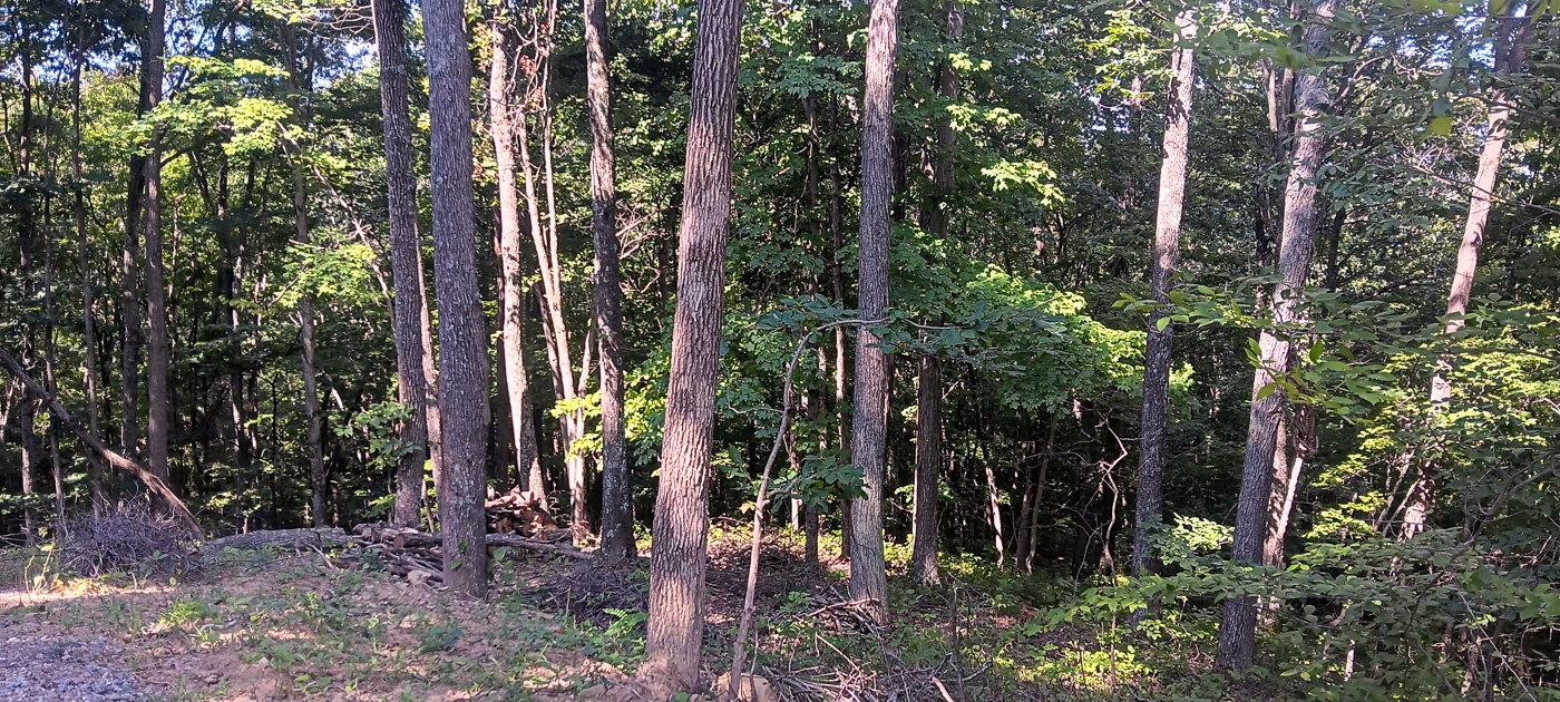
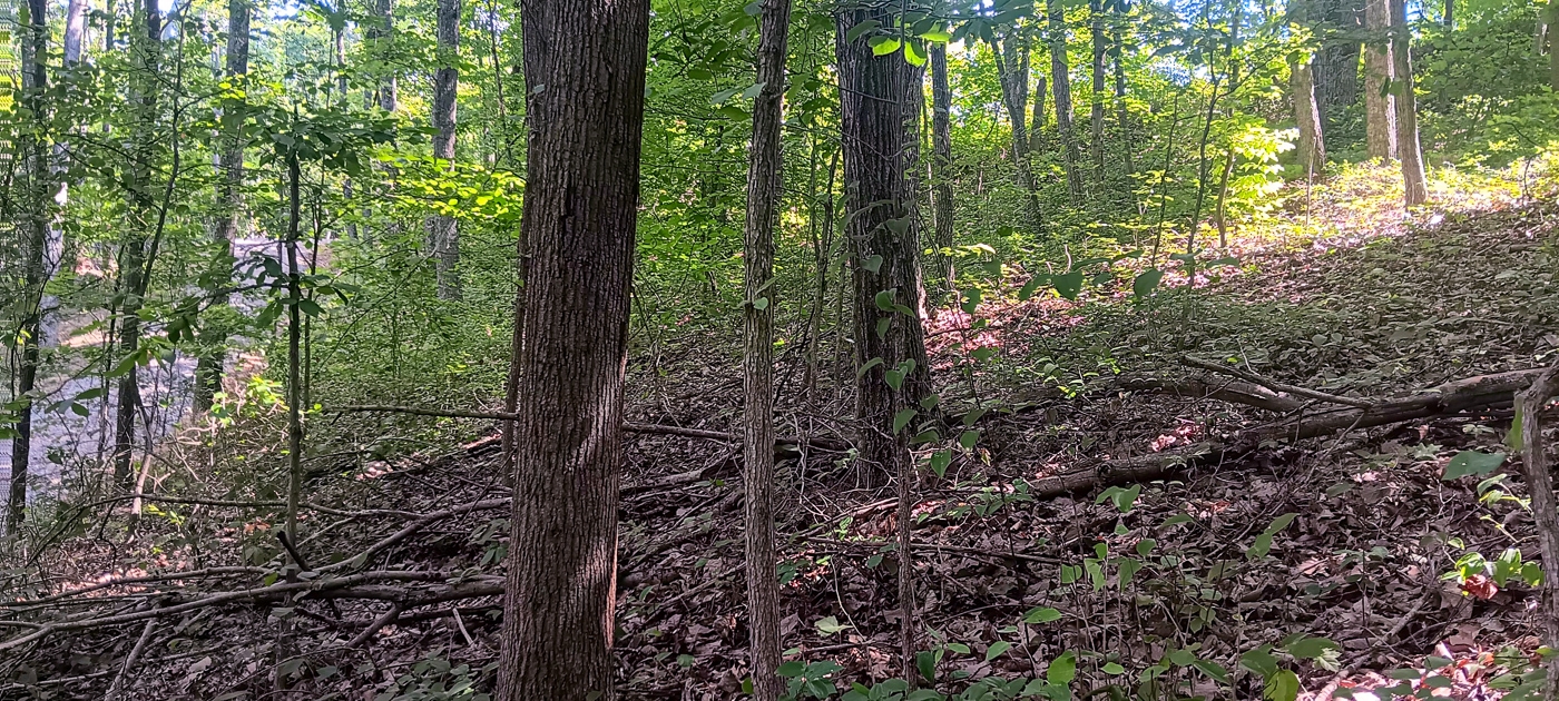
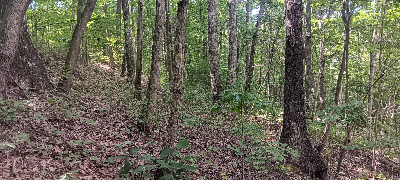
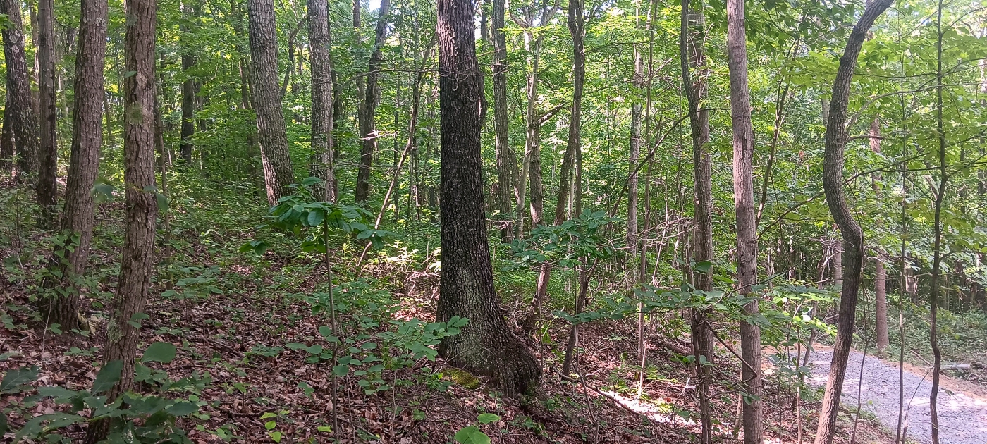
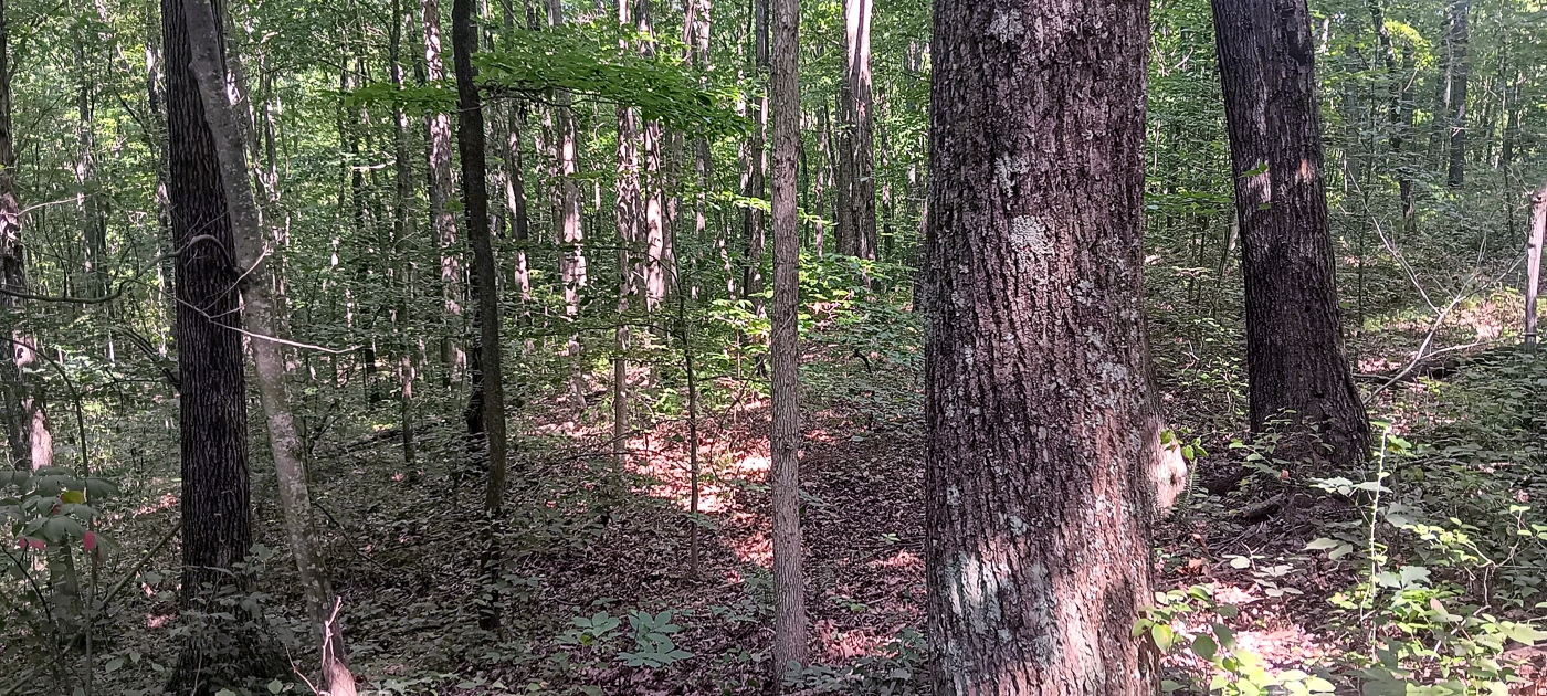
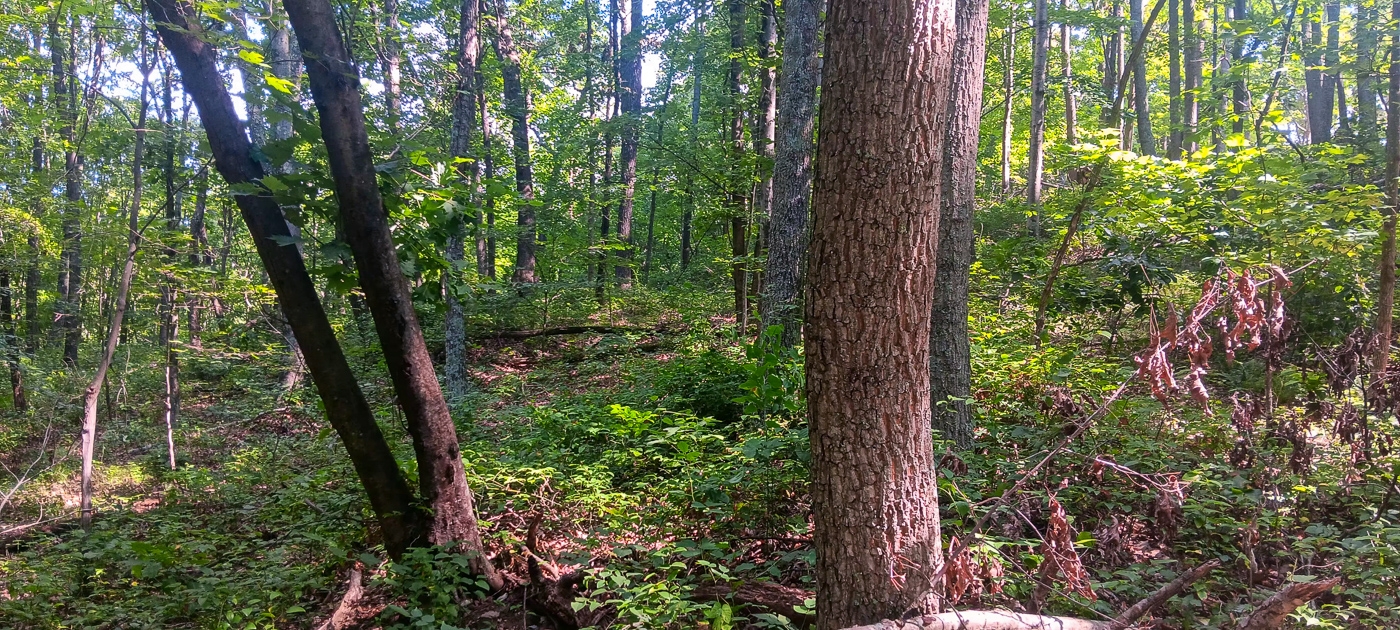
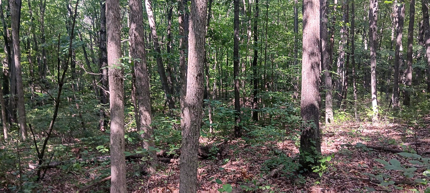
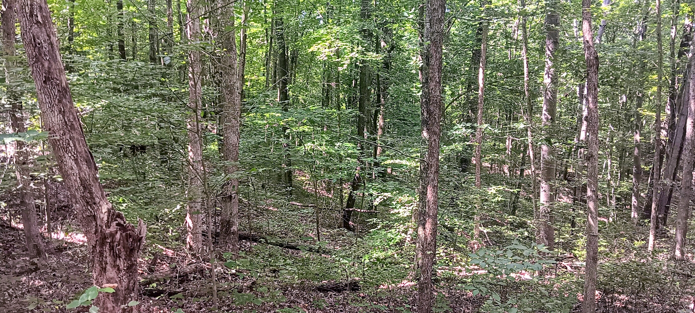
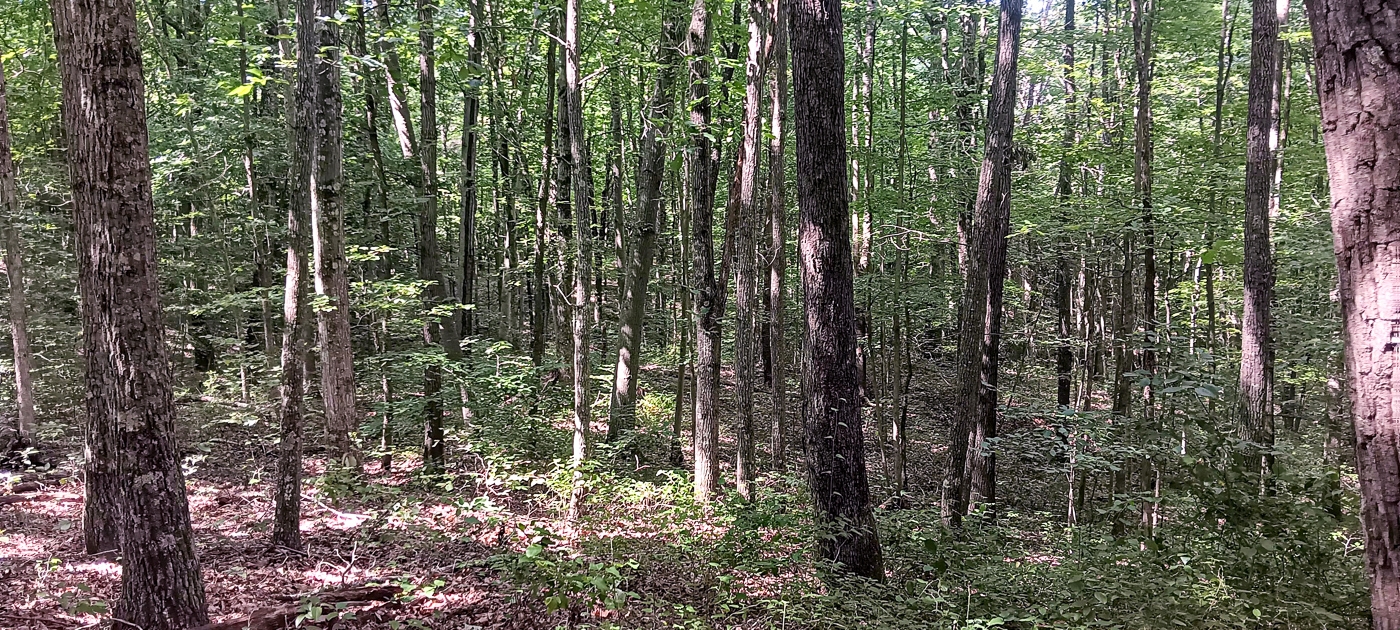
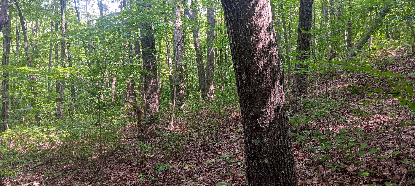
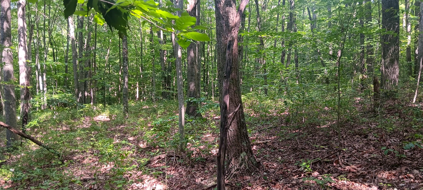
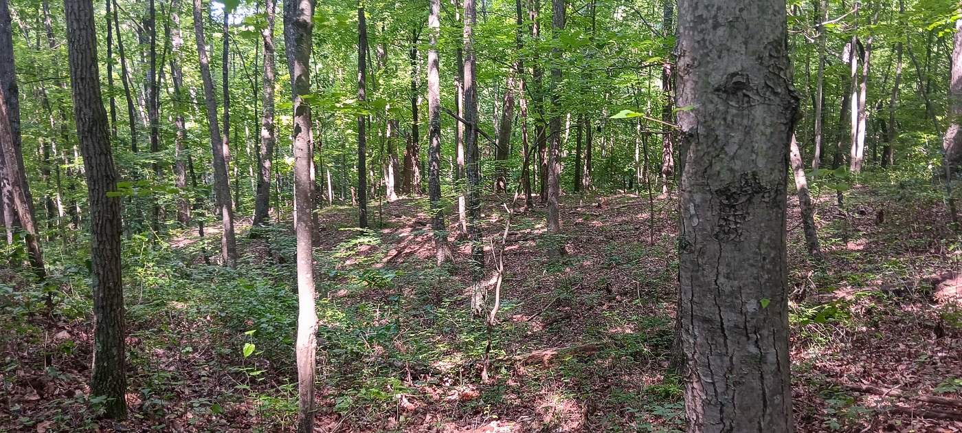
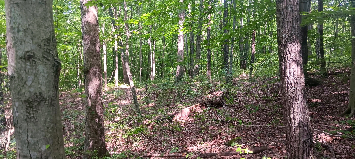
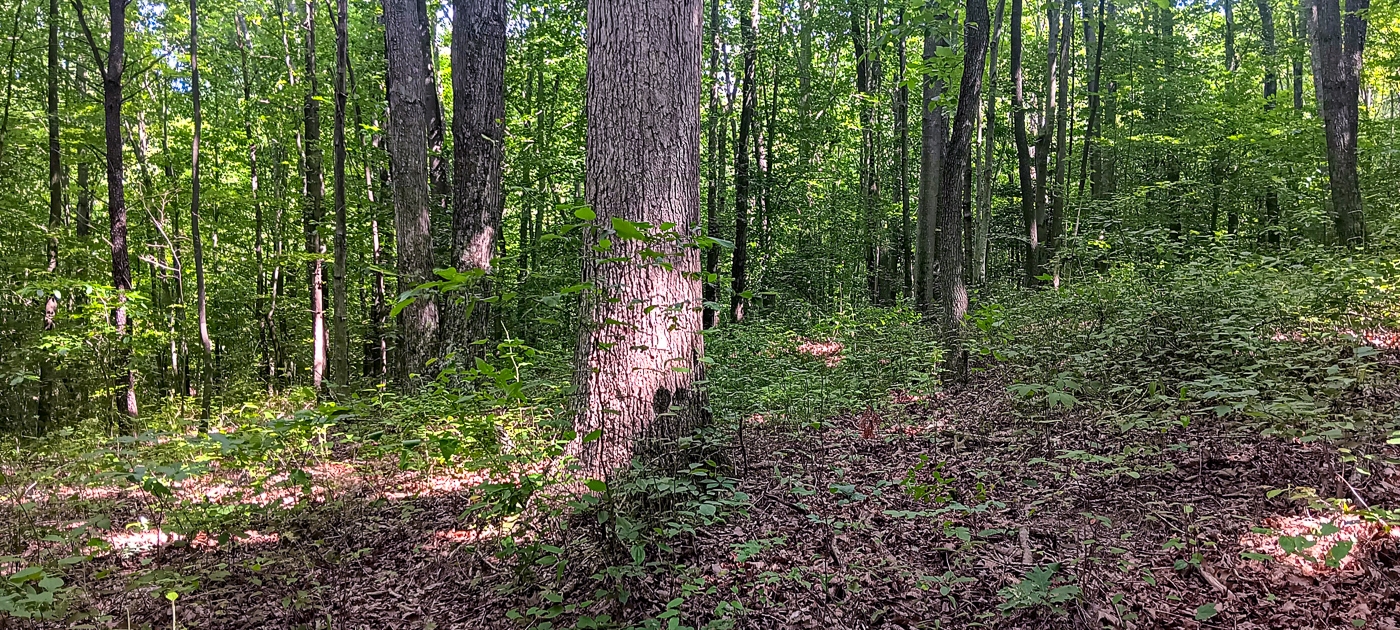
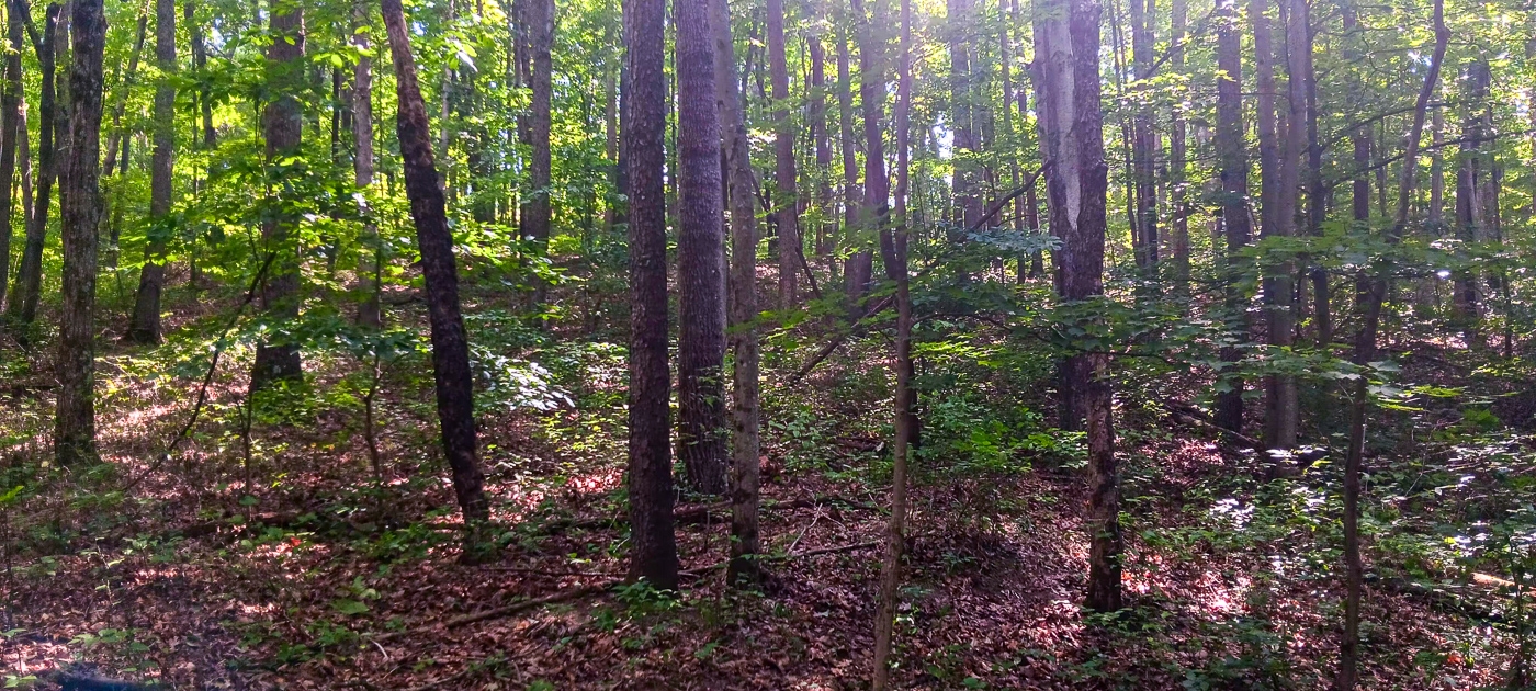
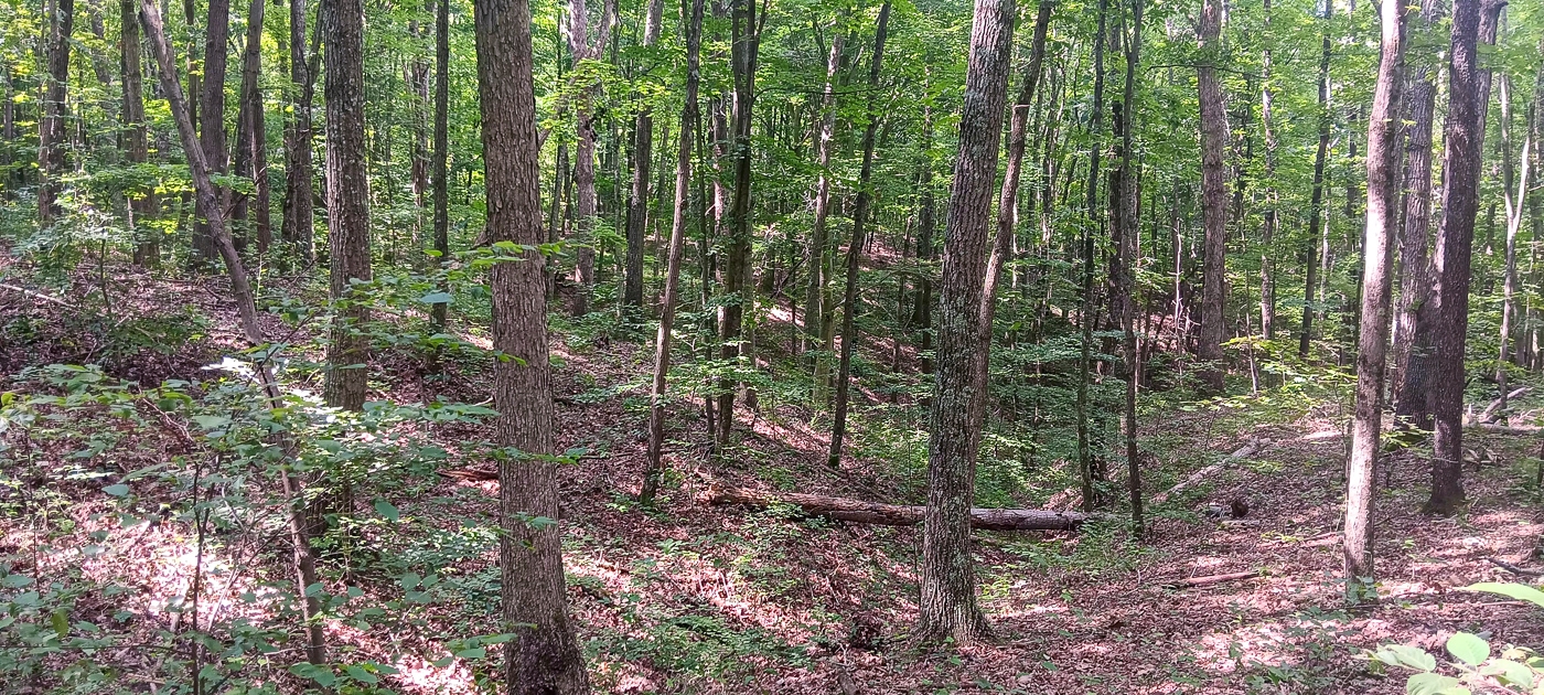
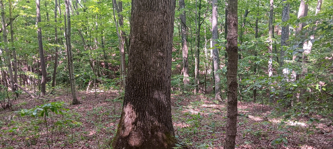
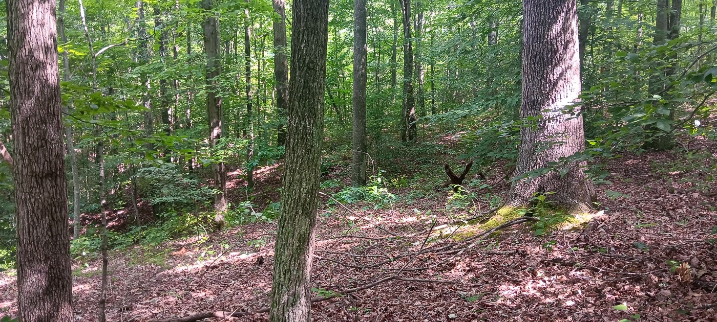
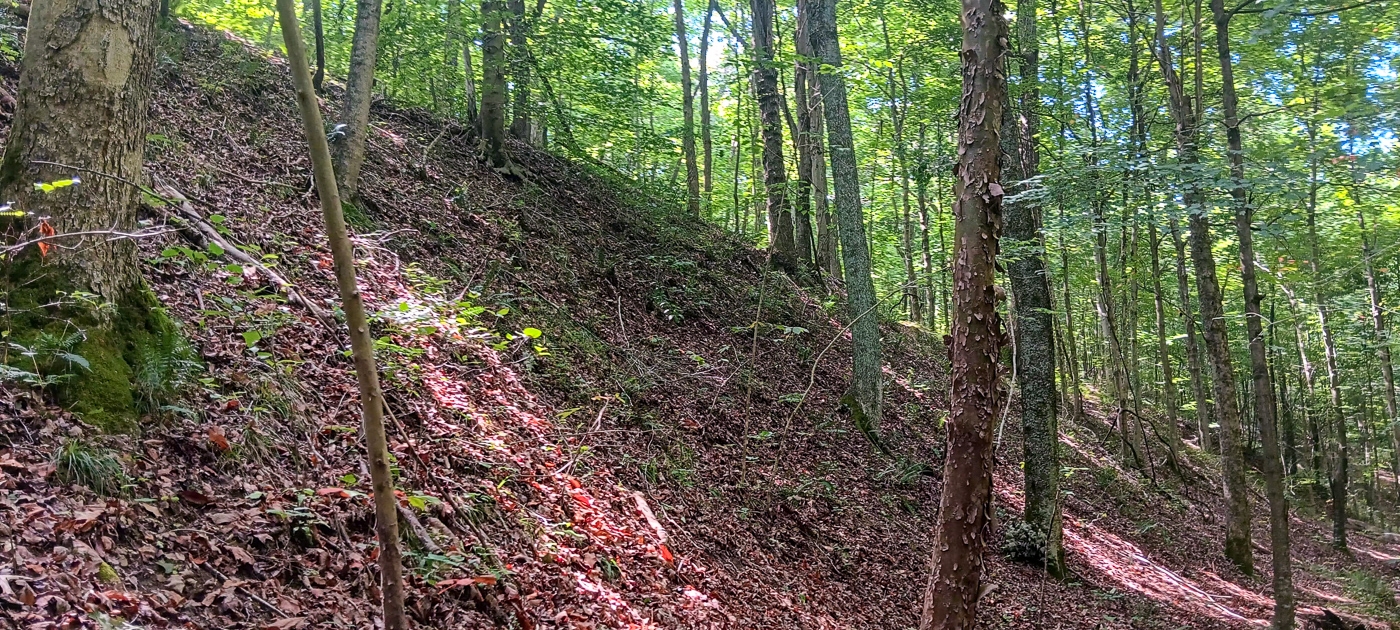
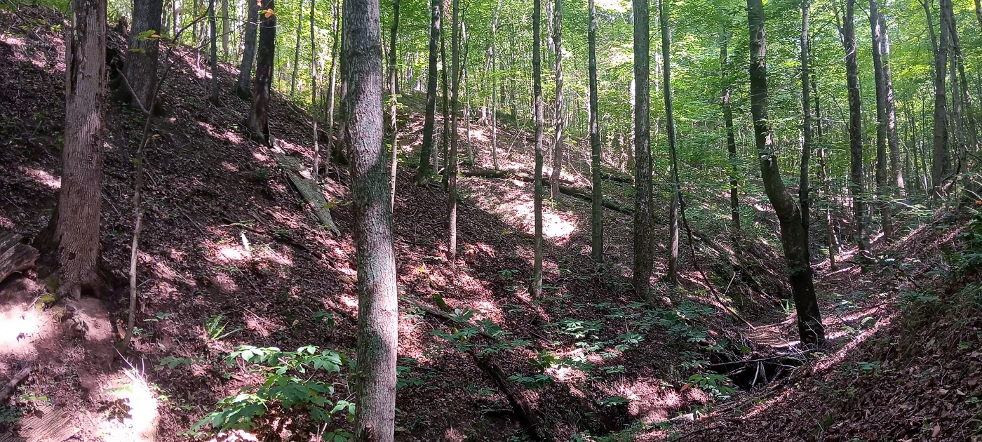
Gorgeous Open Canopy Woods
Only minutes to Buckeye Furnace State Memorial, Broken Aro, Flint Run, and Cooper Hollow Wildlife Areas (Thousands of Acres of Public Recreation)
Loaded with Wildlife
Excellent Deer and Turkey Hunting
Beautiful Remote County Setting, only Minutes from all of the conveniences of town
New Survey – 6.620 Acres
Additional Tracts Available
No Zoning and No Deed Restrictions
Oil and Gas Rights Transfer with No Active Leases (ATO)
Oak Hill School District
Bloomfield Twp, Jackson County
Parcel #A010040000401 5.5 Miles to Broken Aro/Flint Run Wildlife Areas
5.7 Miles to Cooper Hollow Wildlife Area
8.5 Mile to Buckeye Furnace State Memorial
11 Miles to Wellston
14 Miles to Jackson
40 Miles to Athens
80 Miles to Columbus
113 Miles to Cincinnati
111 Miles to Dayton More tracts in Caves Keystone A Countrytyme advantage
Take the property lines into the field. On your phone, tap Walk property lines , allow your location when asked, and follow the blue dot in Tract Explorer to see your position in relation to the mapped boundary while you explore.
Walk property lines Property photos Show 37 more photos