This property has sold.
The interactive map and property-line walking tools remain available. Driving directions are not provided for sold properties.
Interactive property map
Explore this property map. Switch aerial, topographic, soil, water, contour, and terrain layers while the mapped project boundary stays visible.
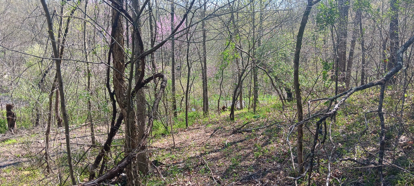
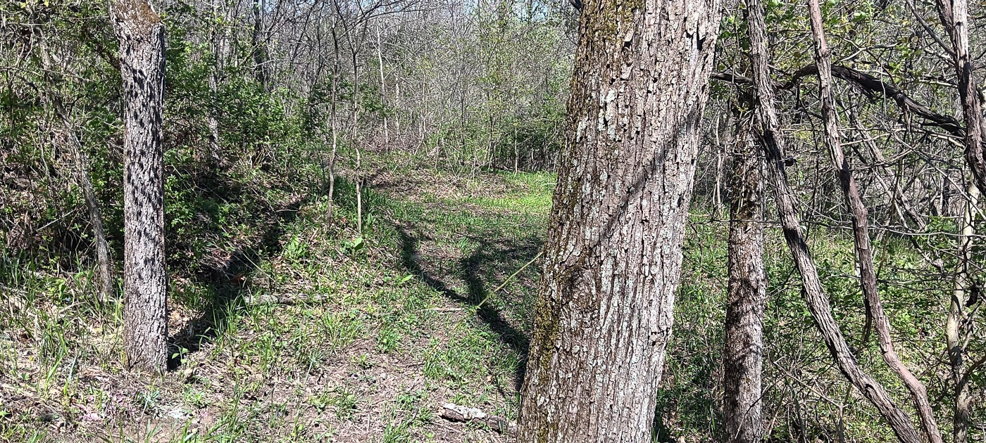
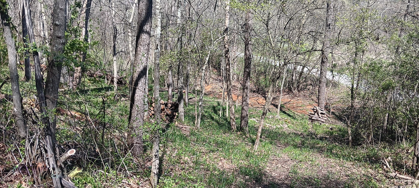
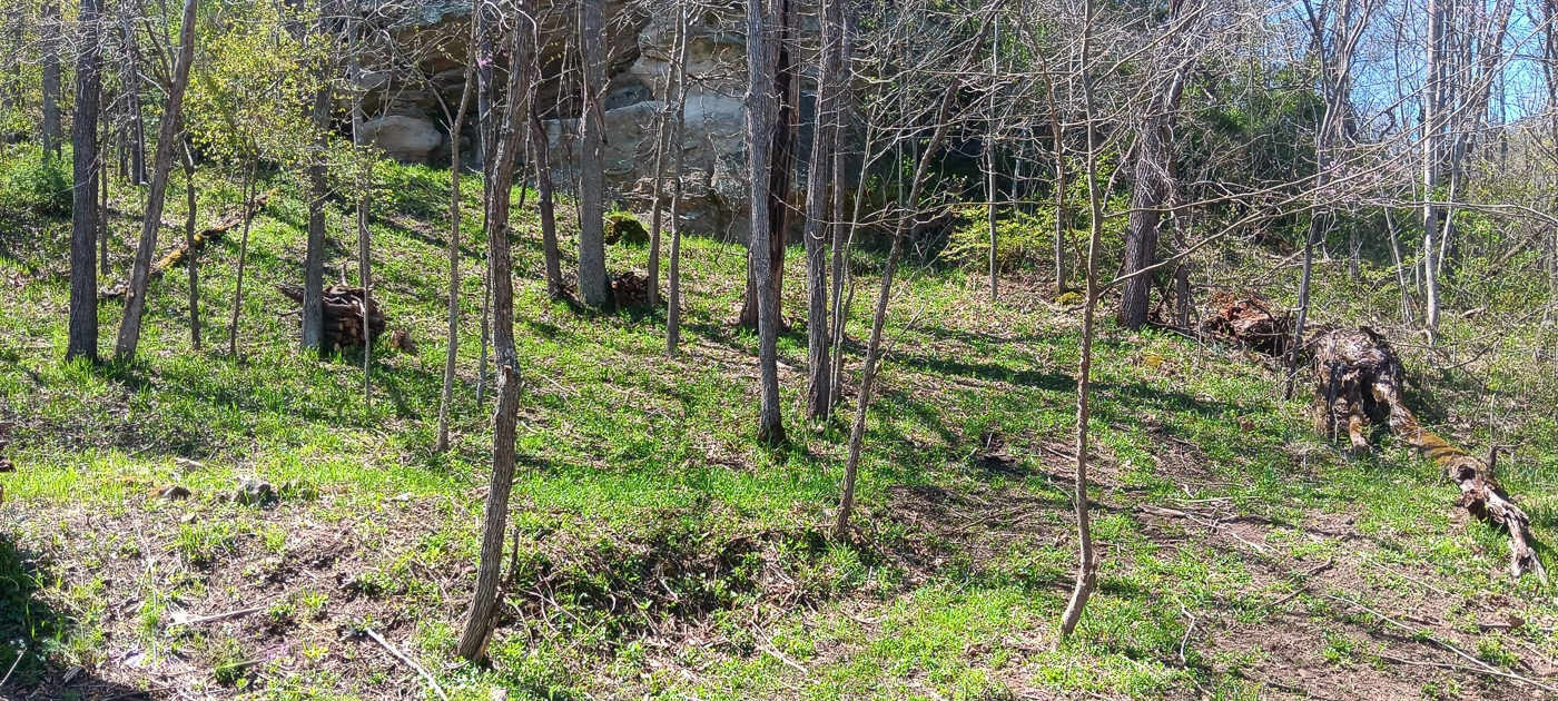
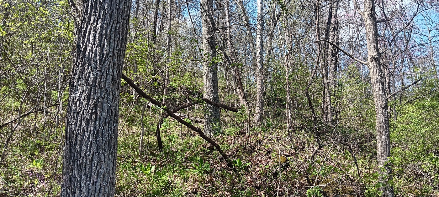
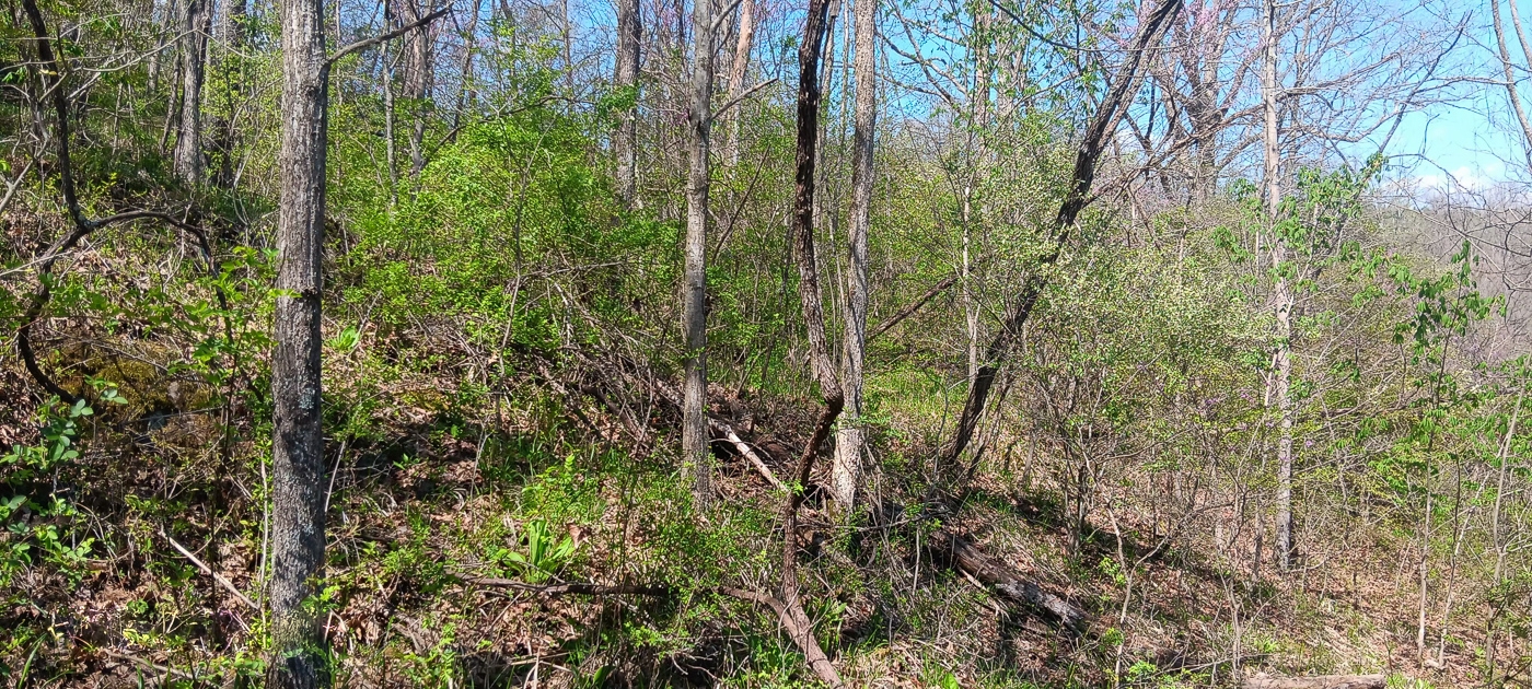
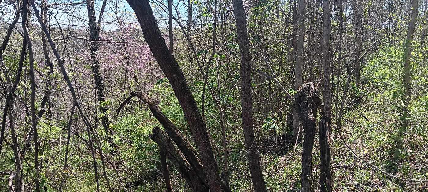
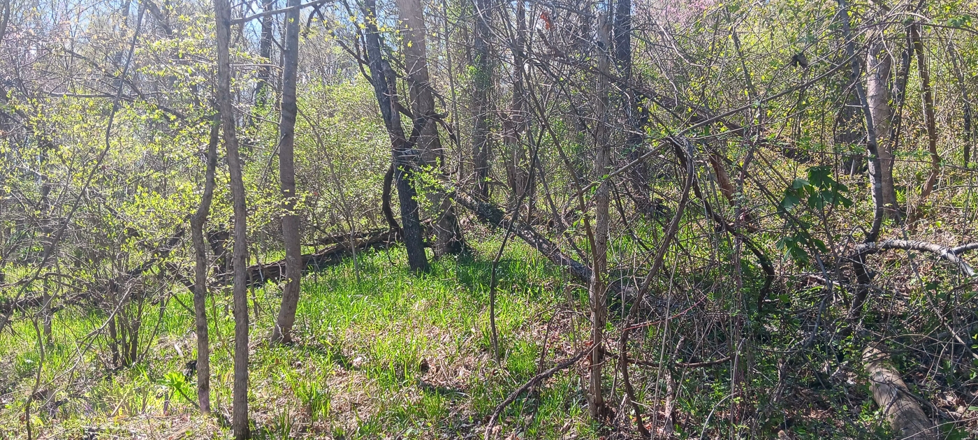
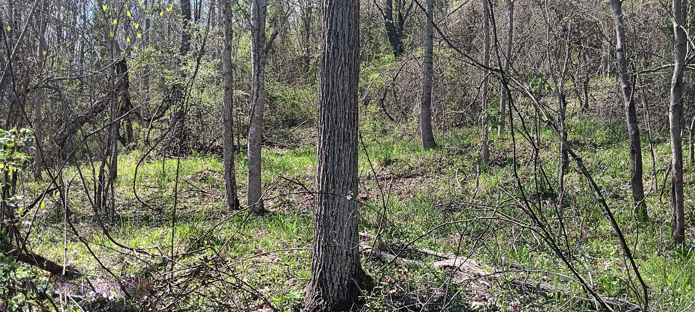
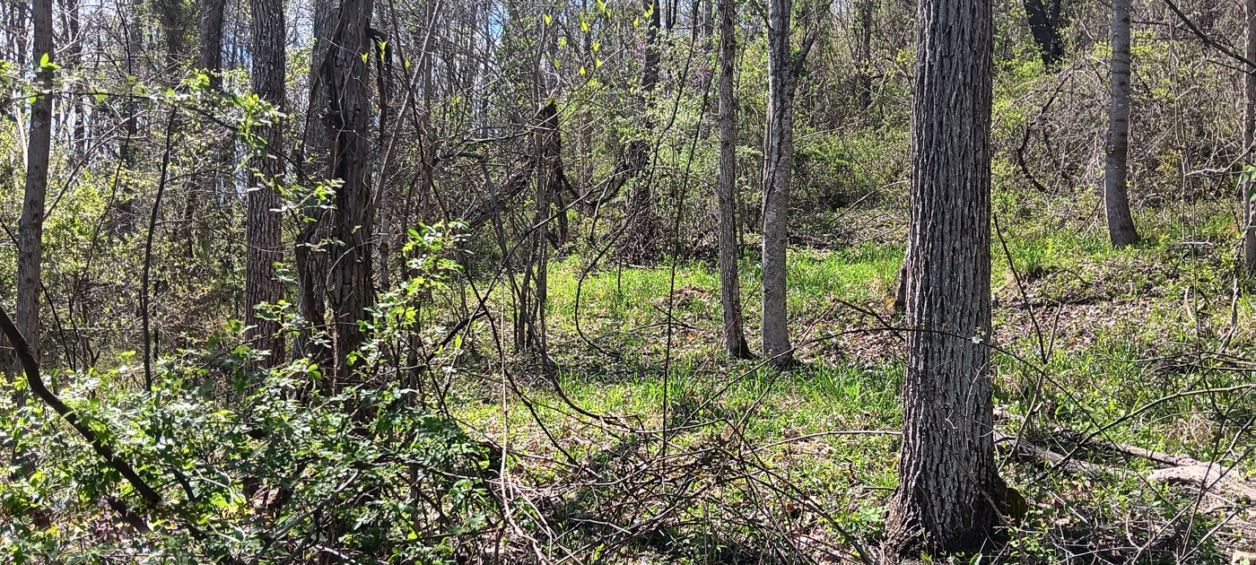
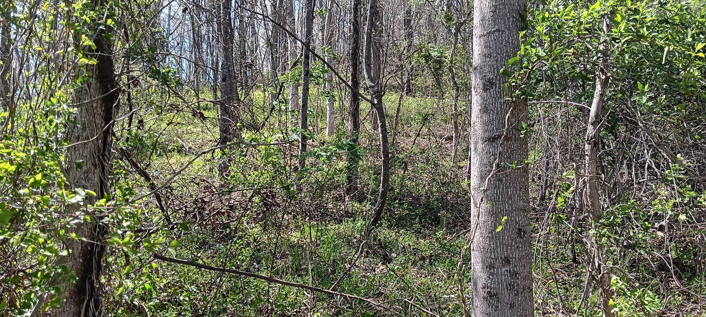
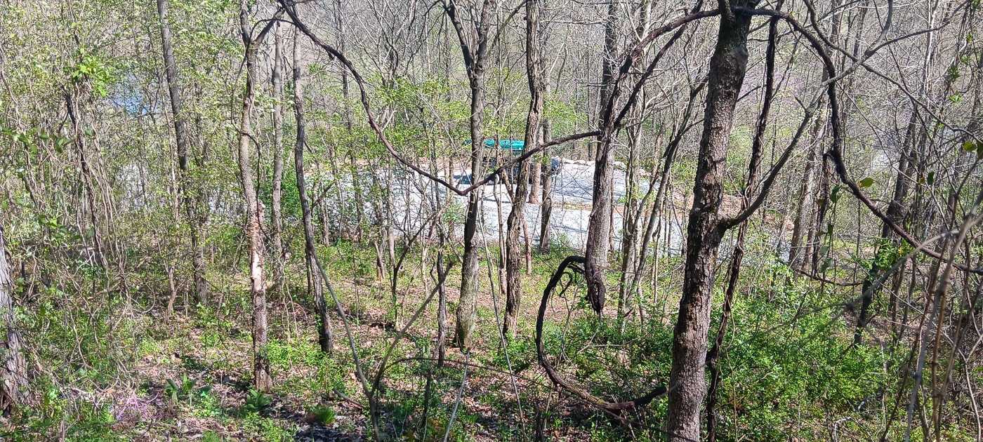
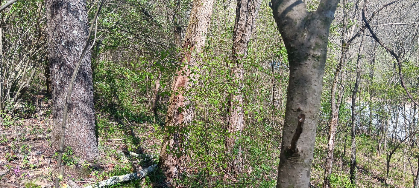
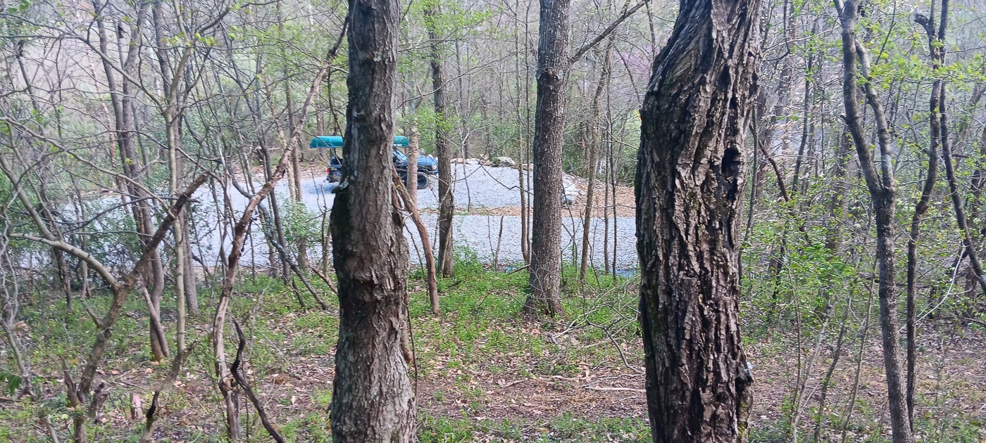
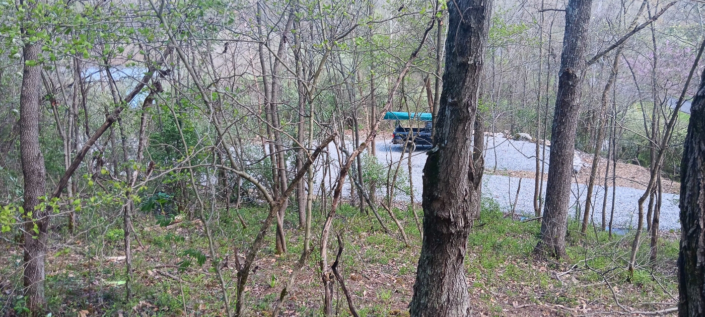
Property Description Keystone Escape Wooded Home/Cabin Site or Recreational Retreat
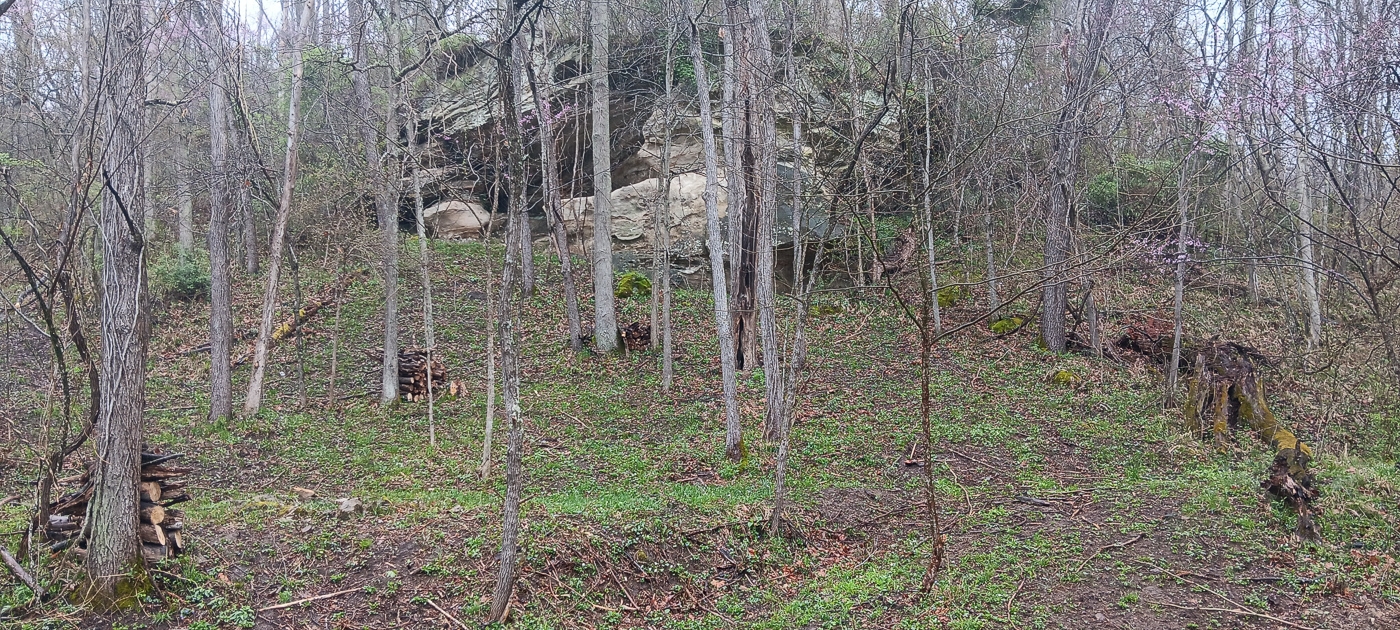
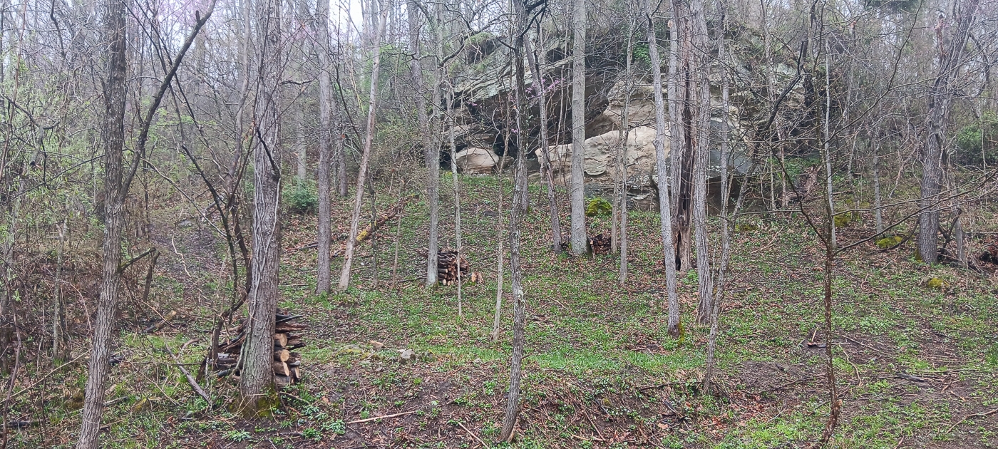
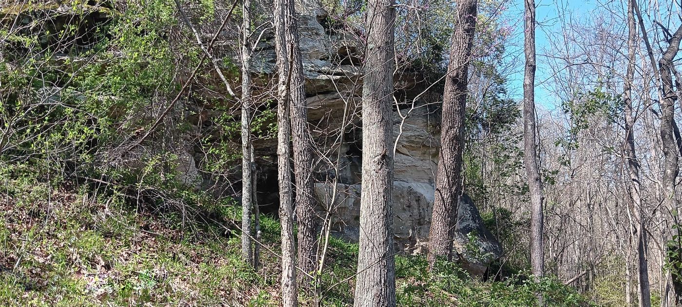
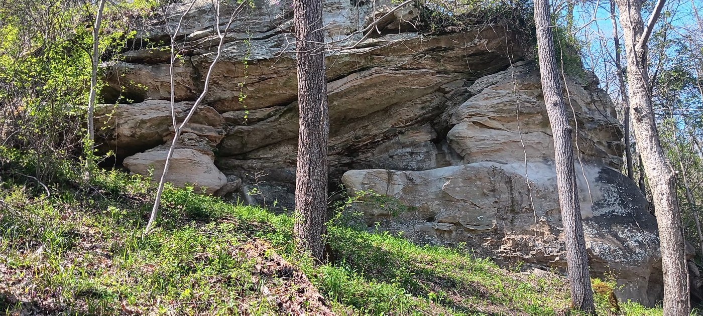
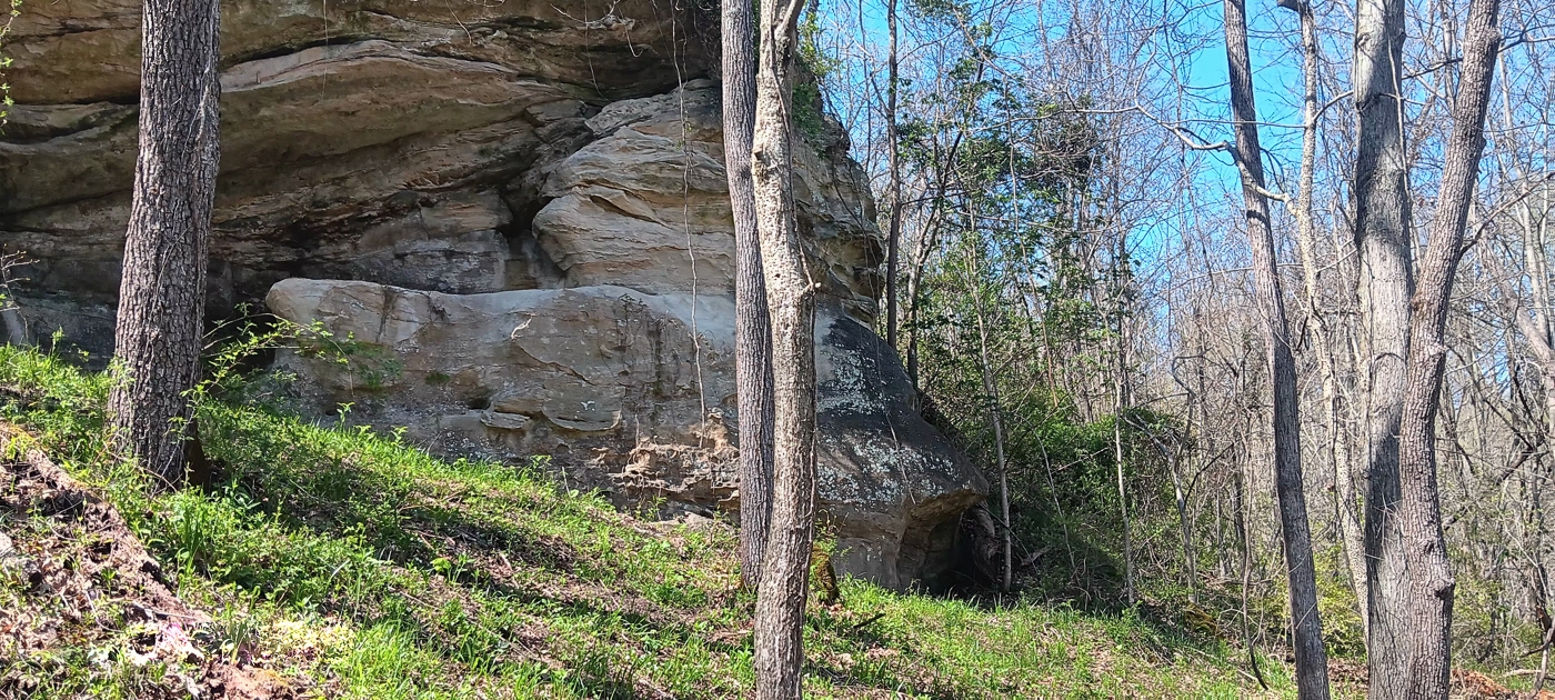
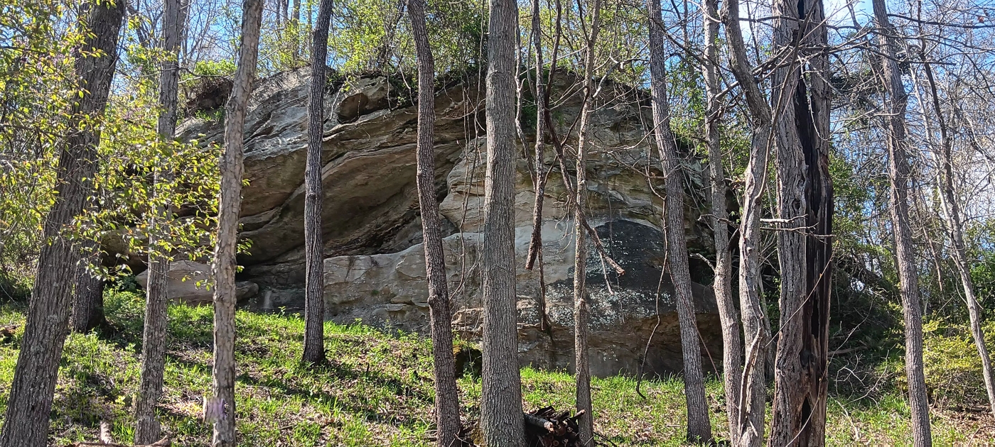
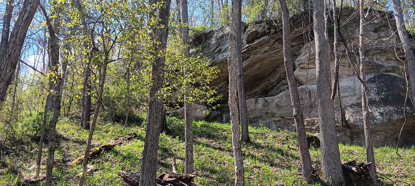
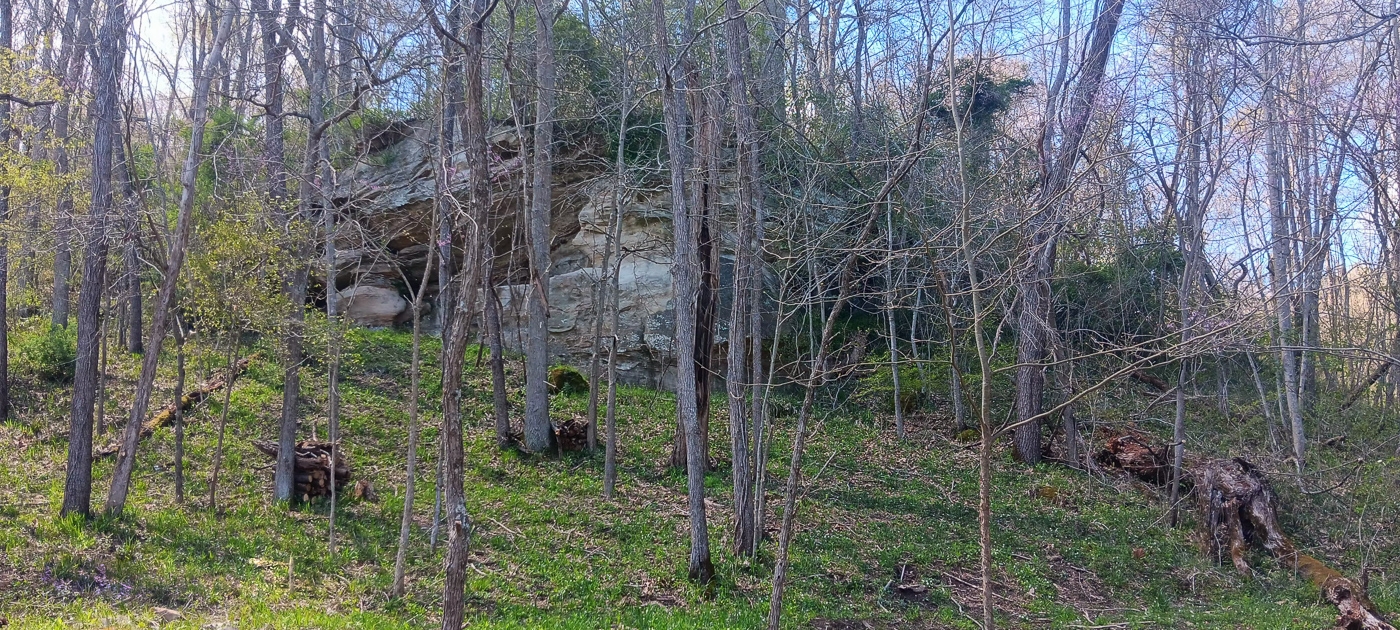
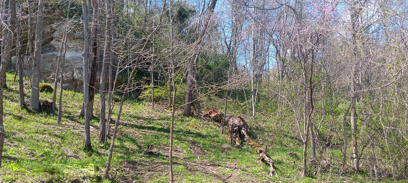
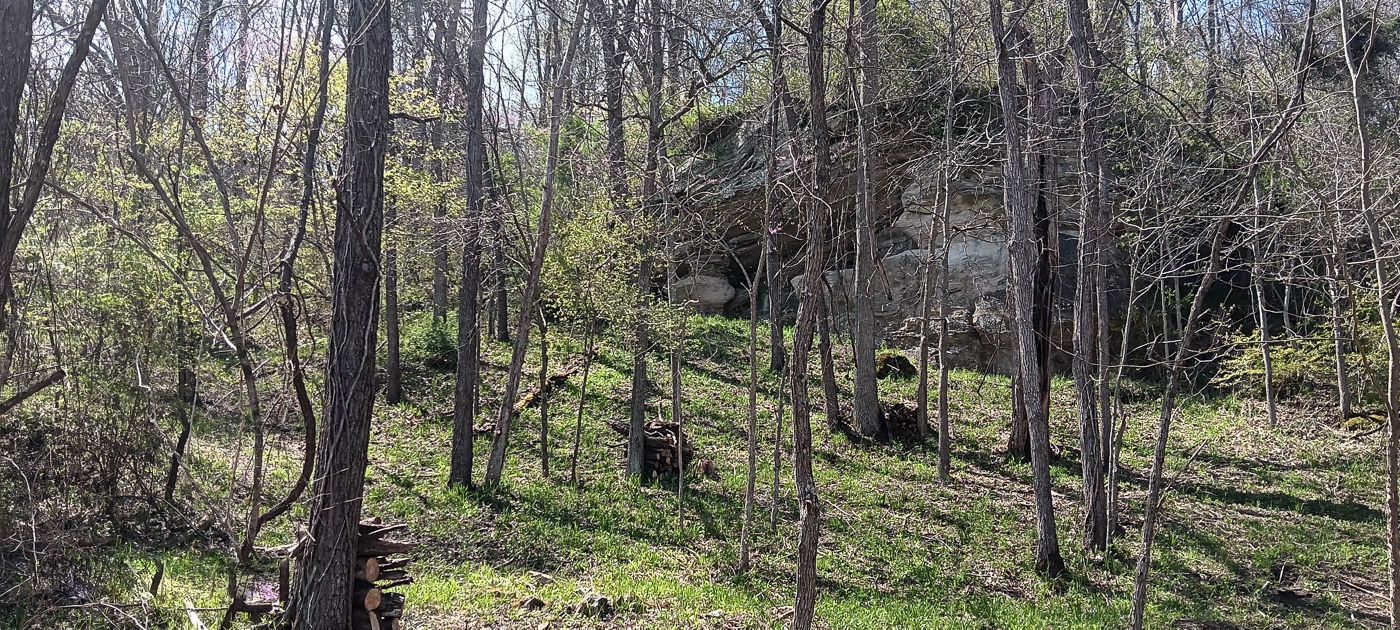
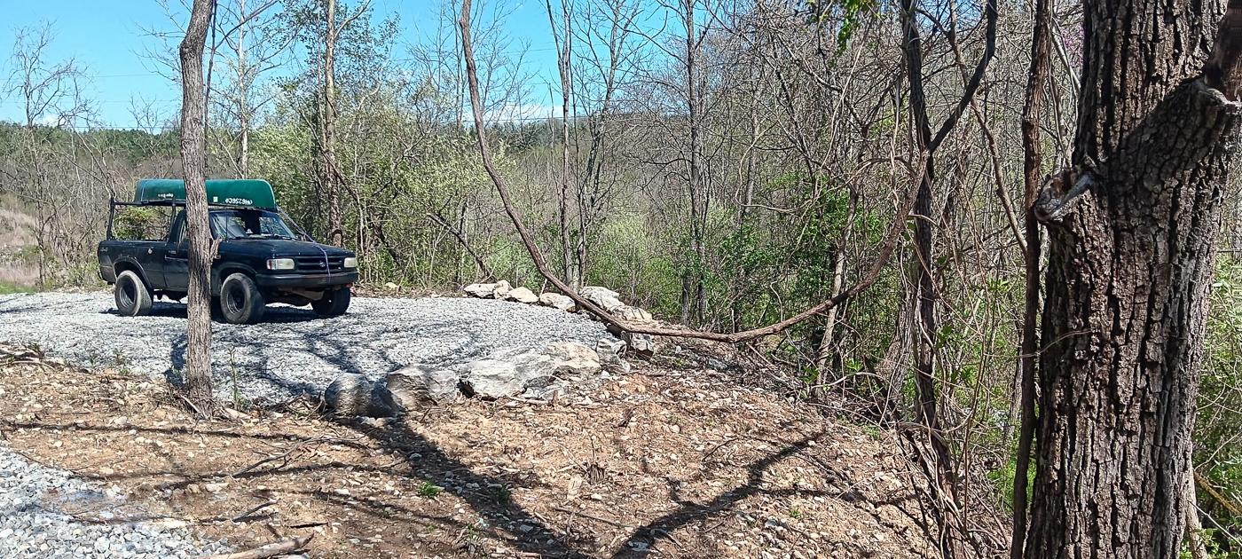
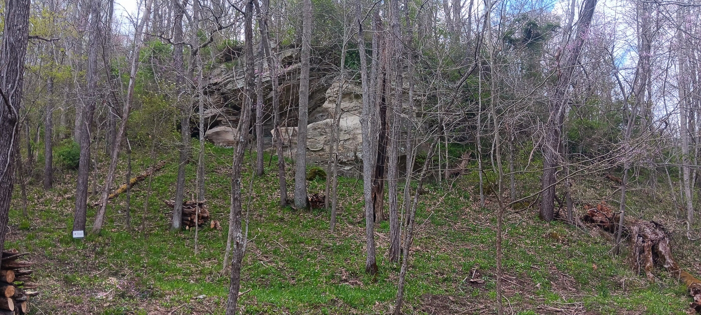
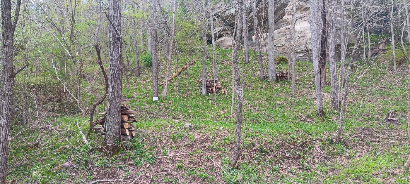
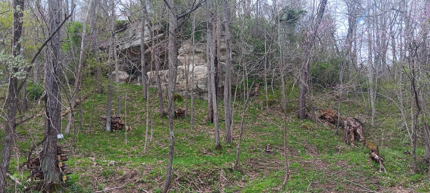
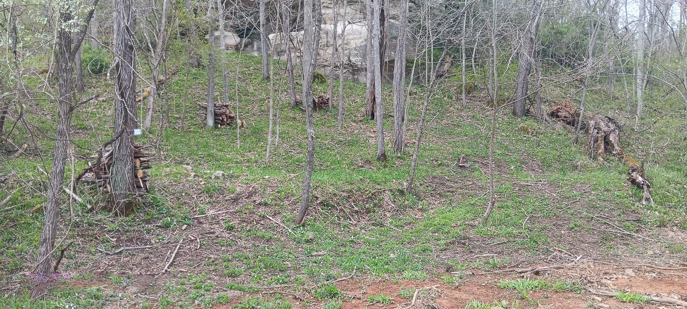
Beautiful Rock Outcroppings
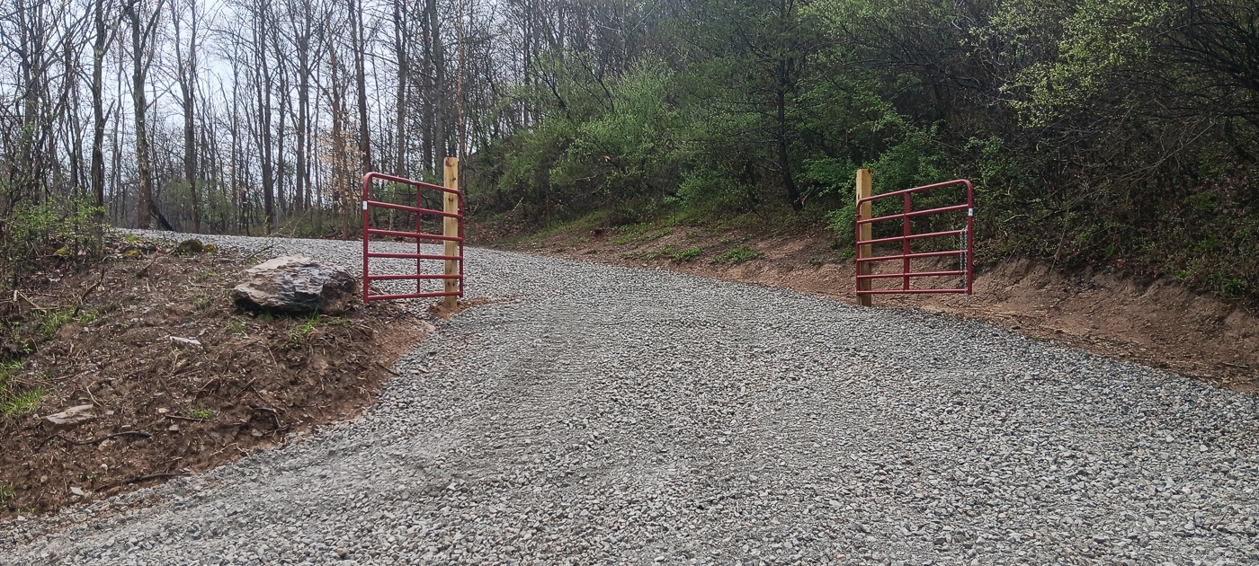
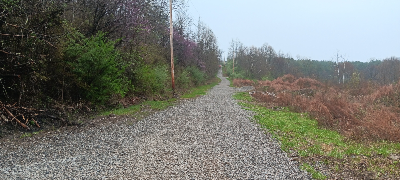
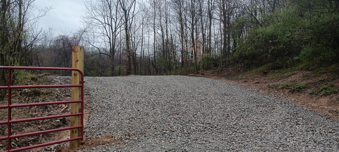
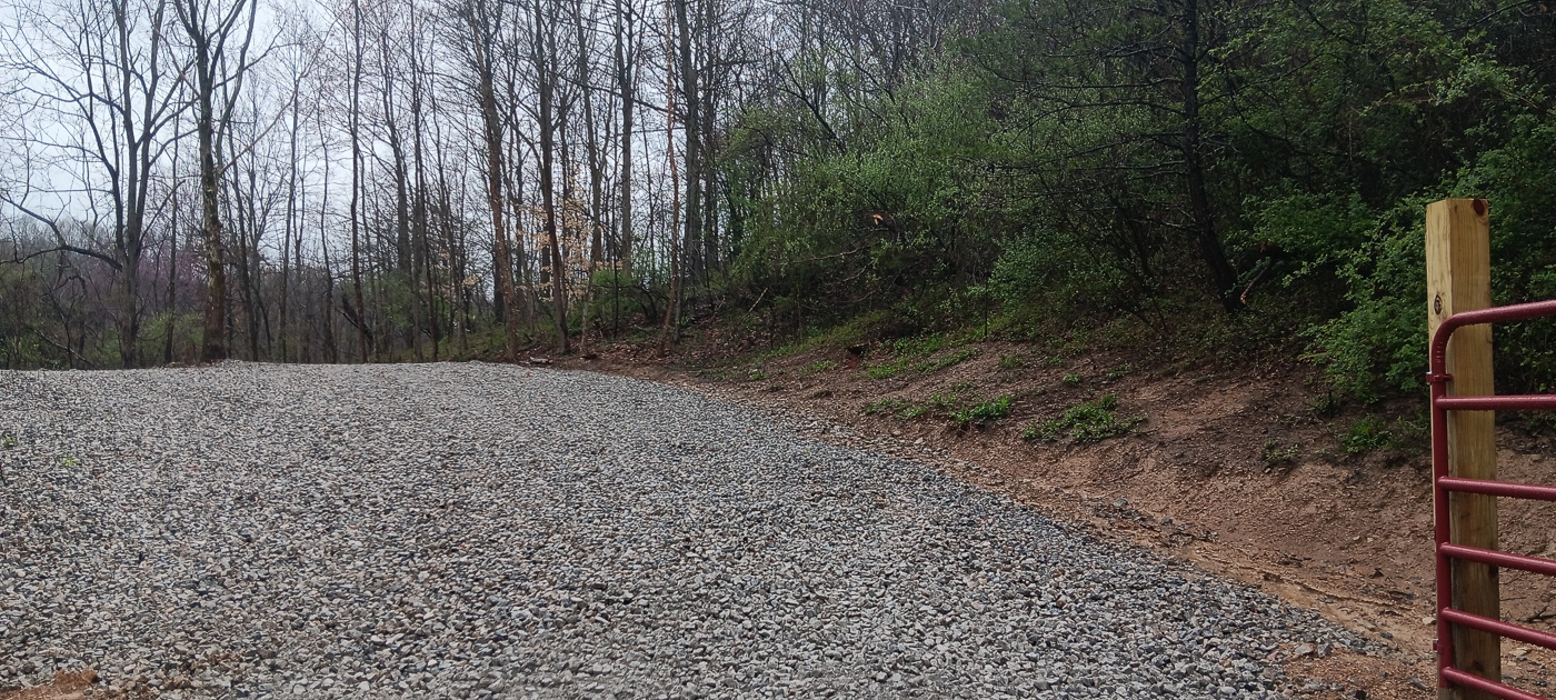
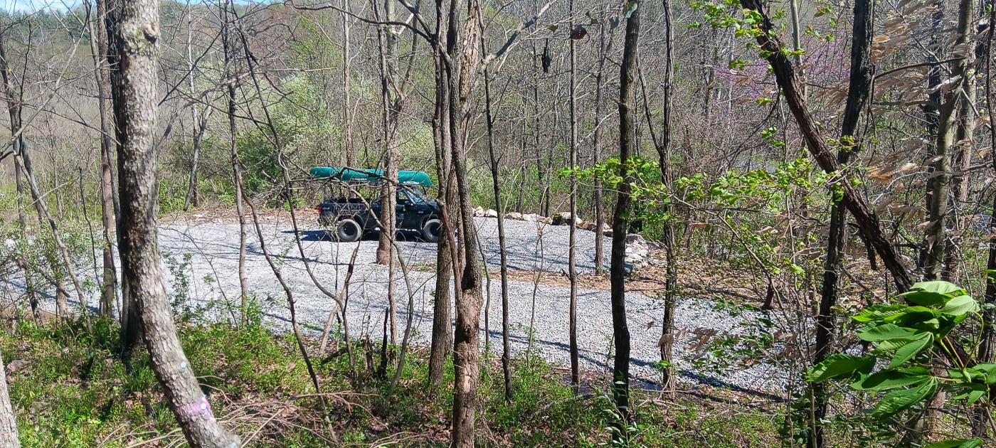
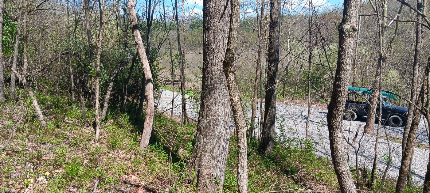
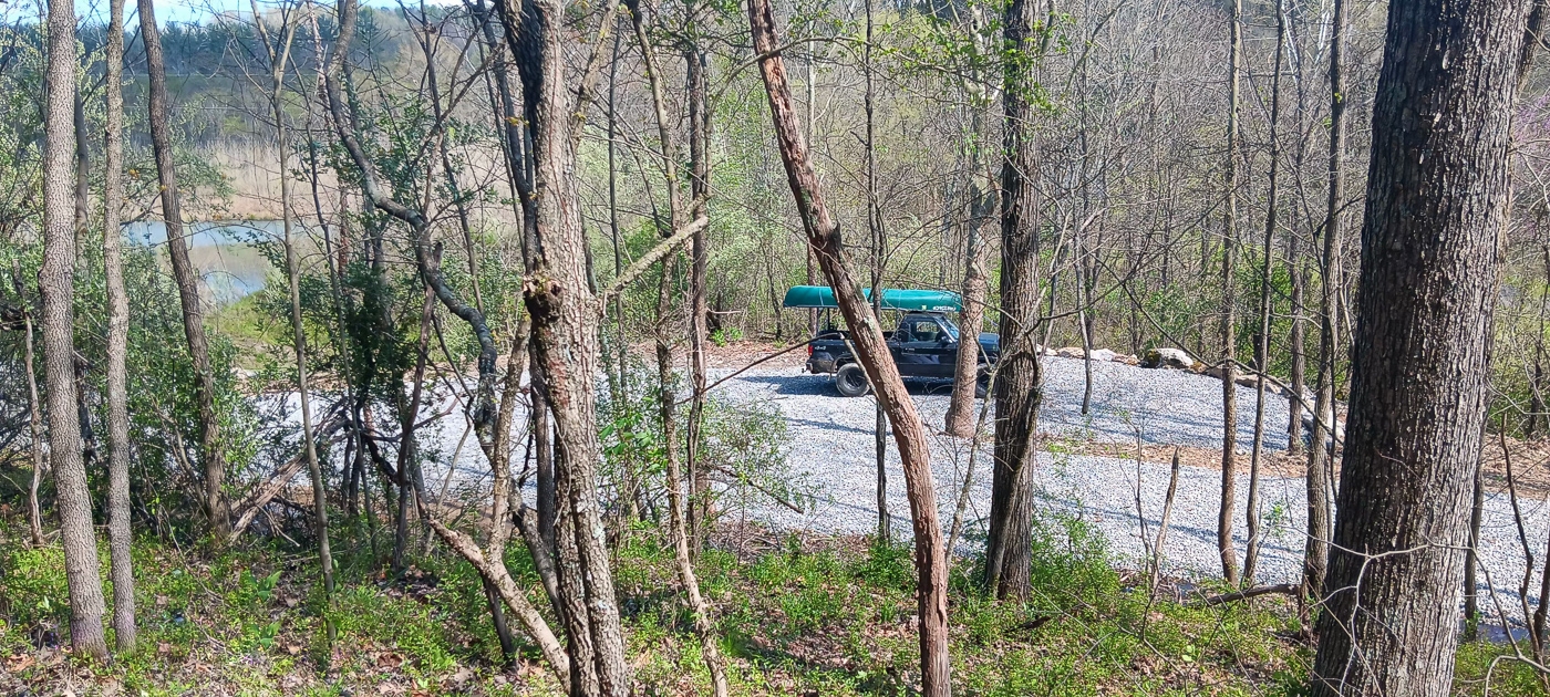
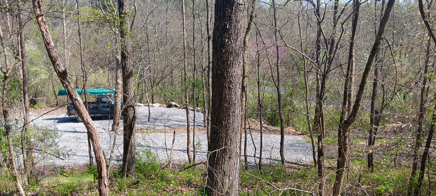
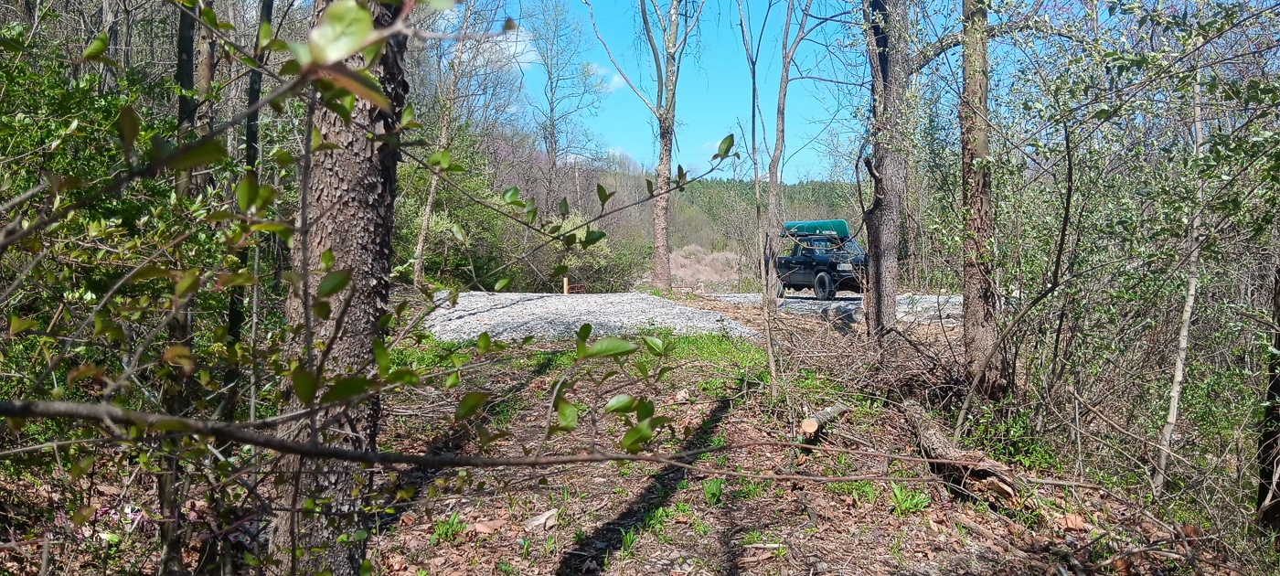
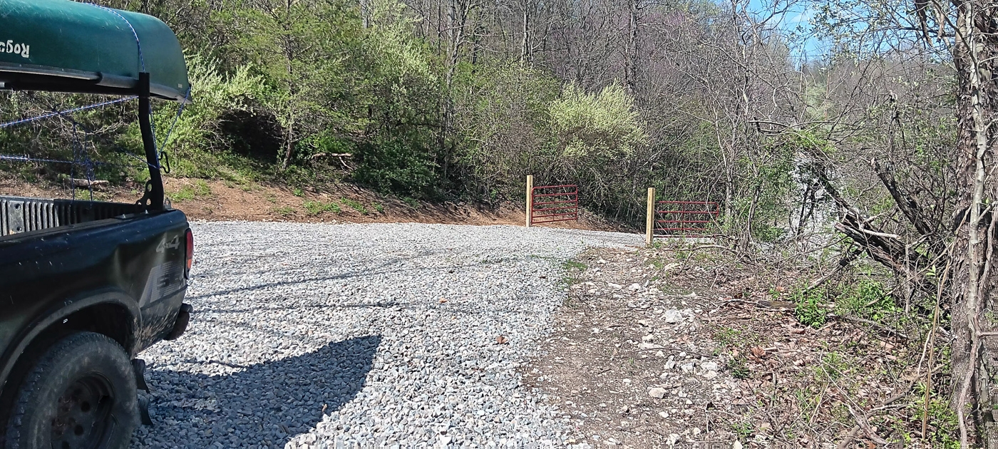
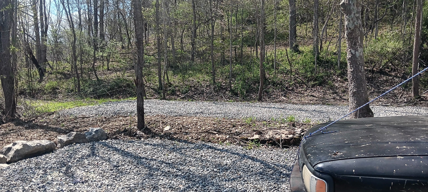
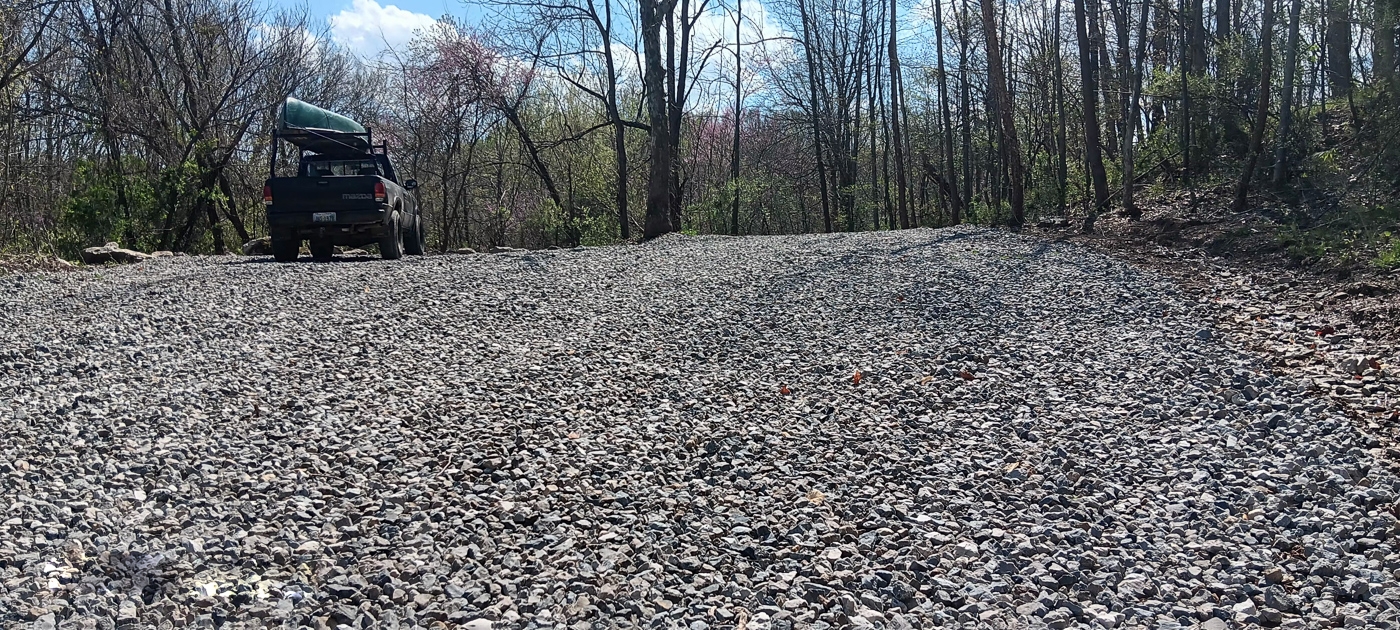
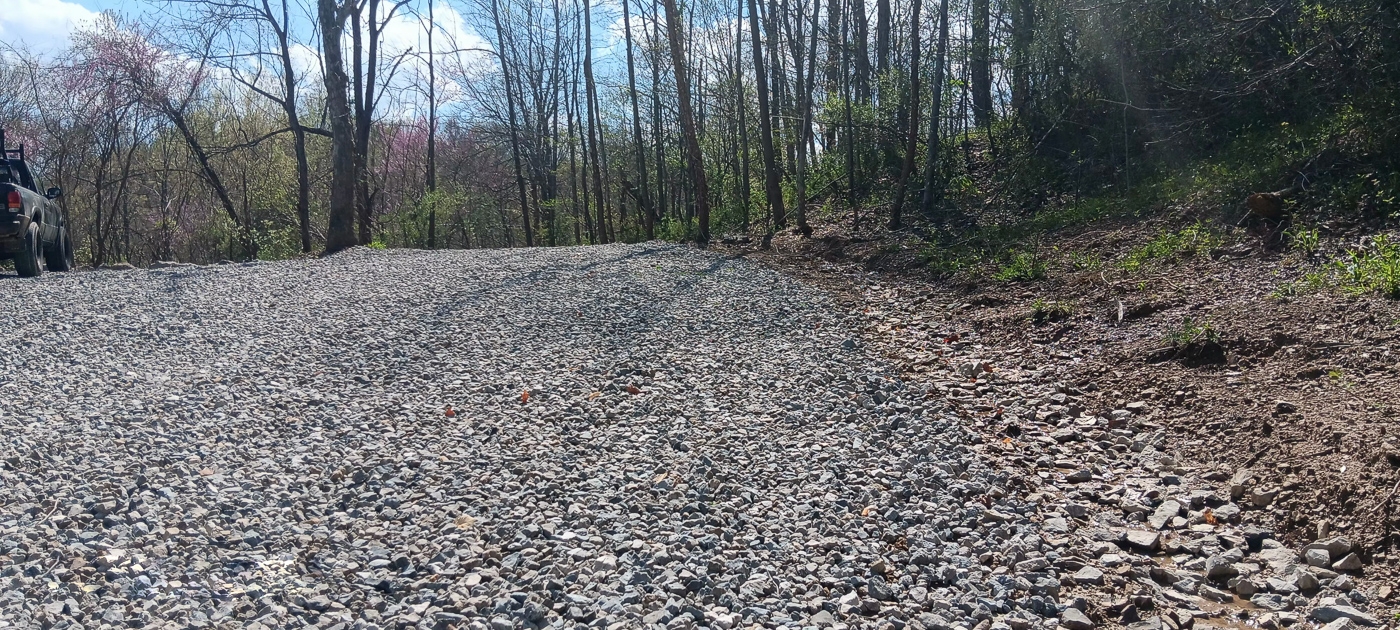
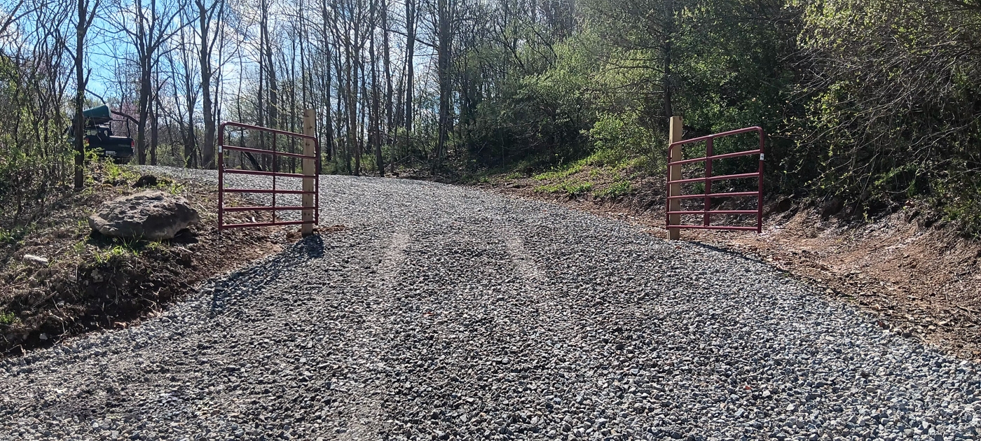
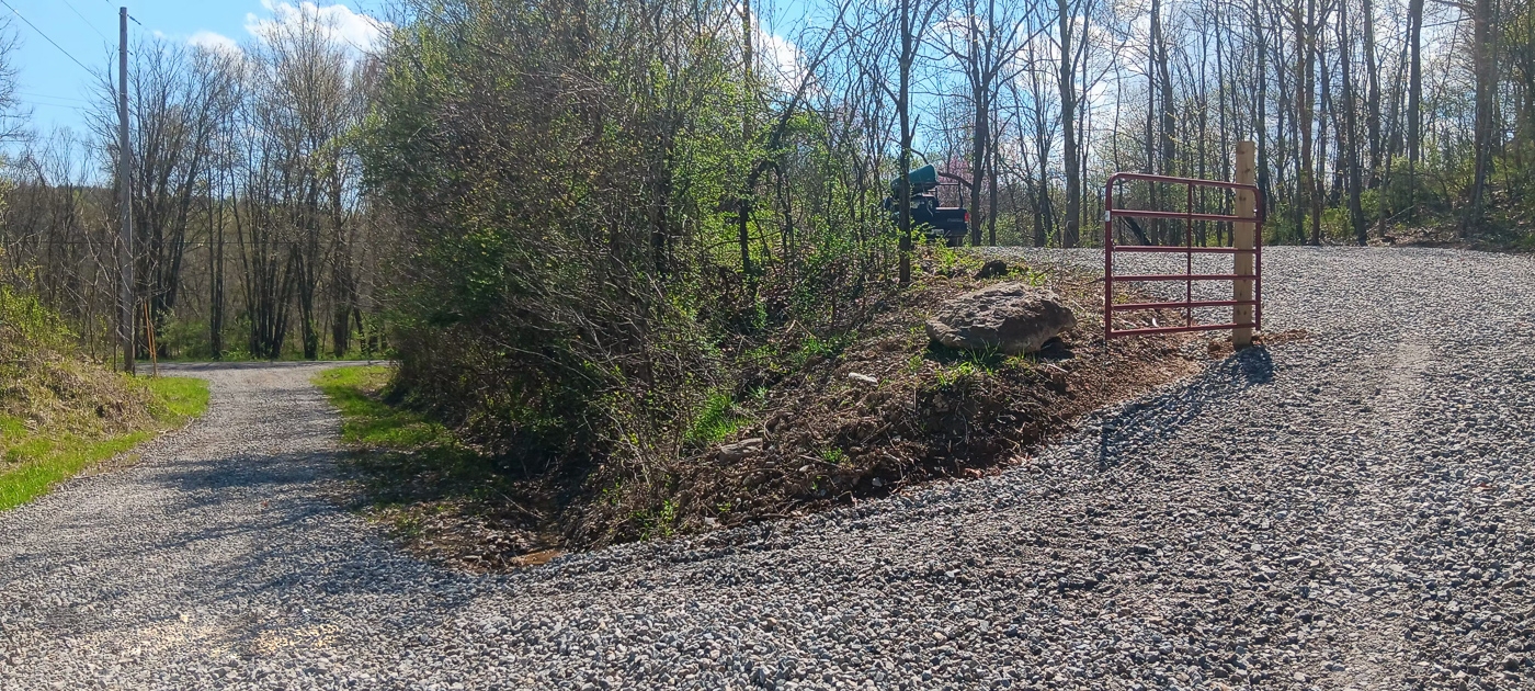
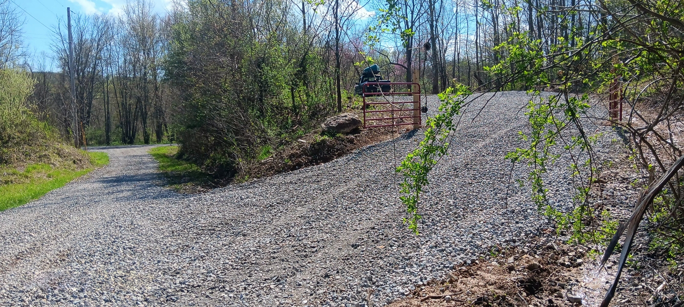
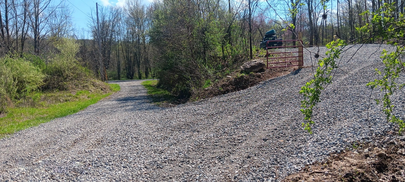
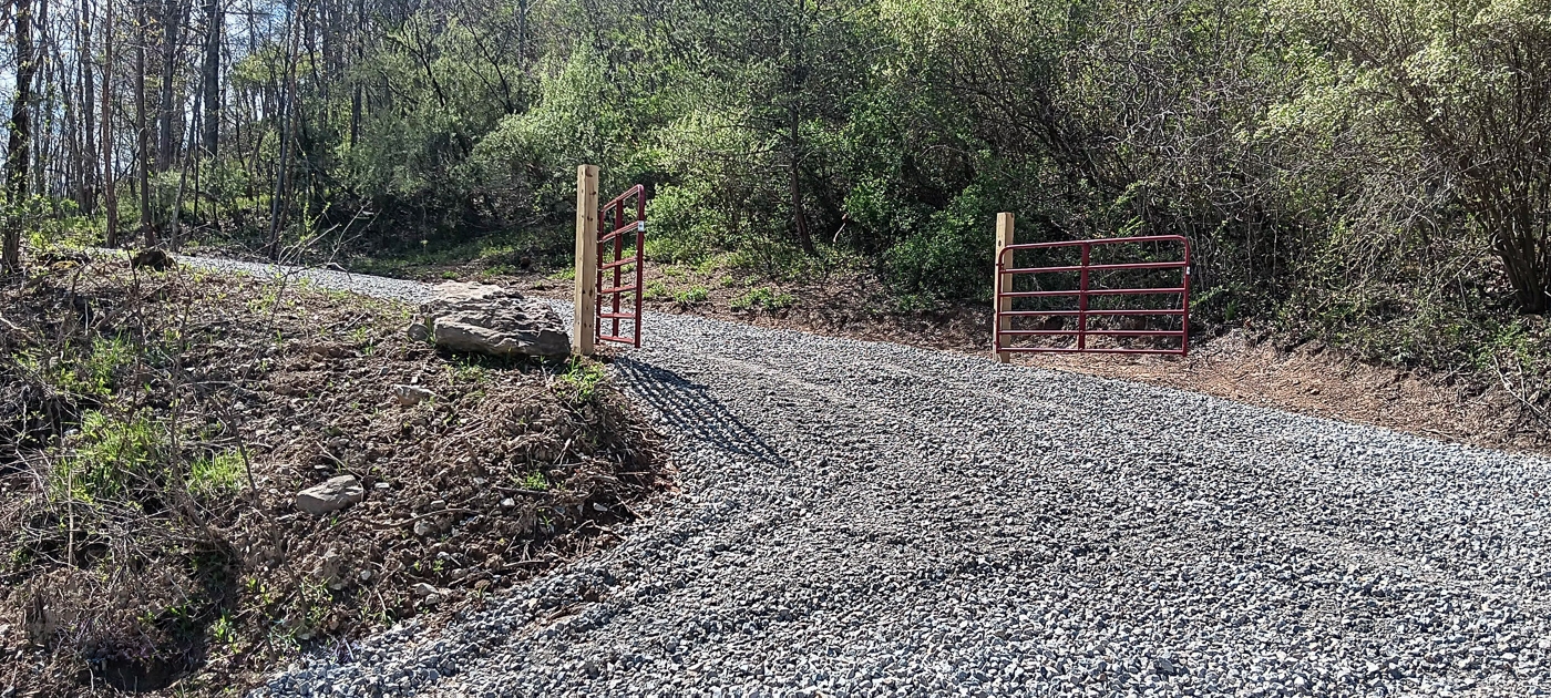
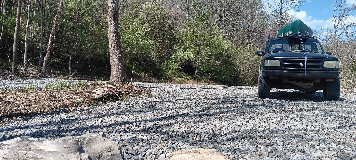
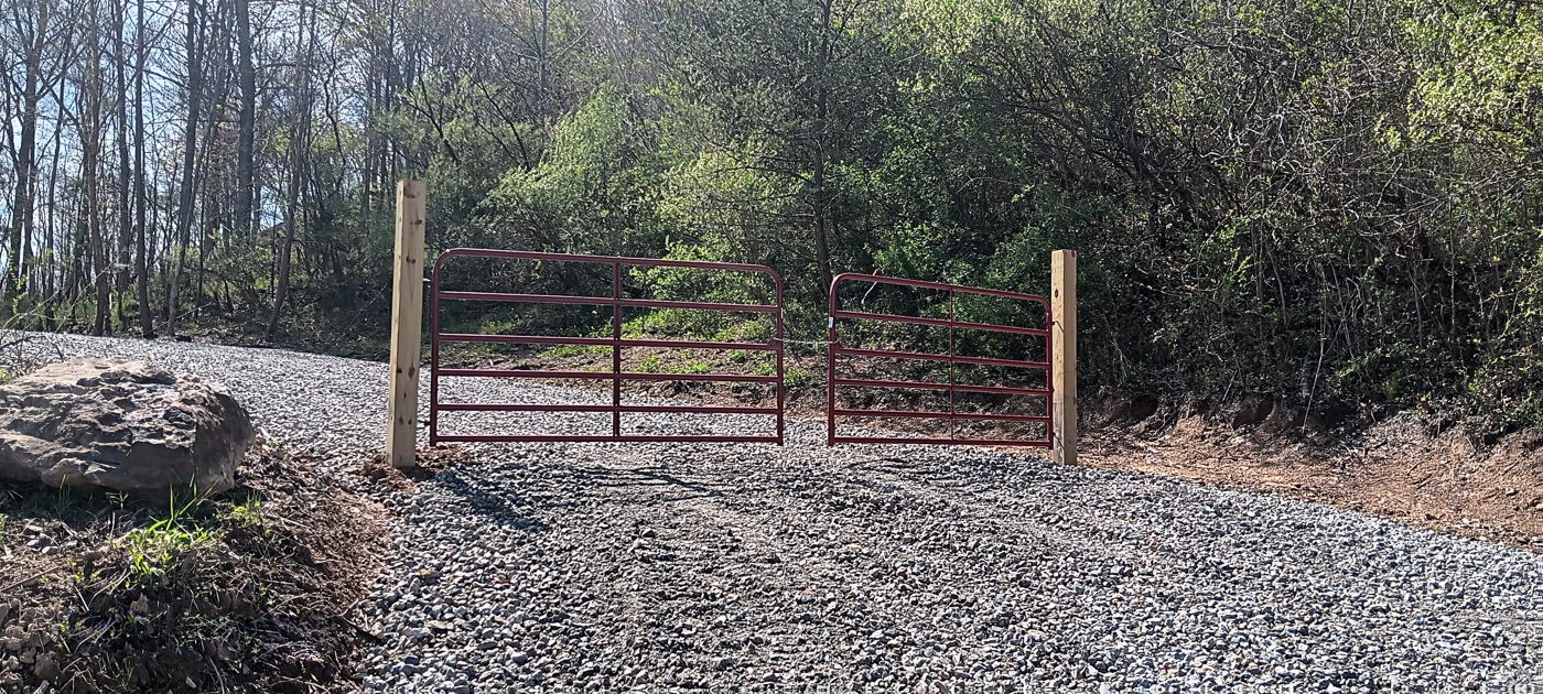
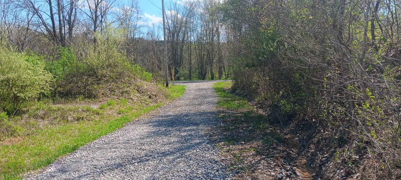
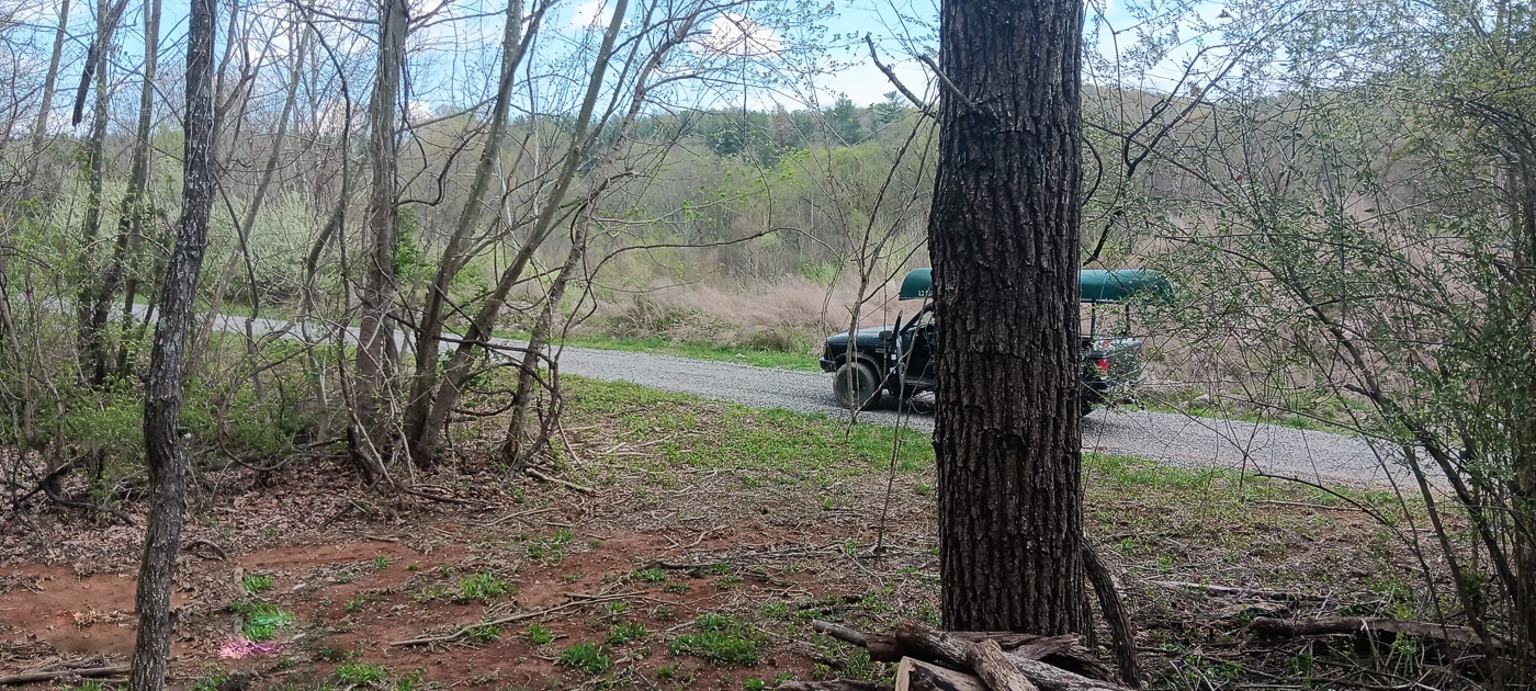
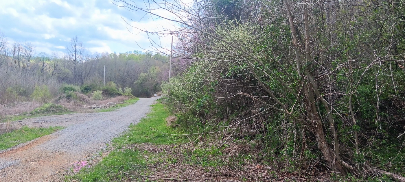
New Gated Gravel Driveway off of Common Access Easement
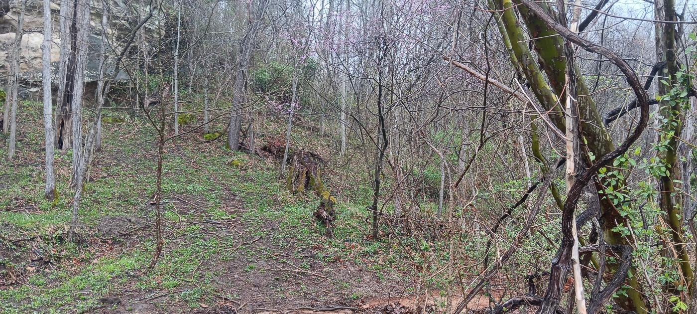
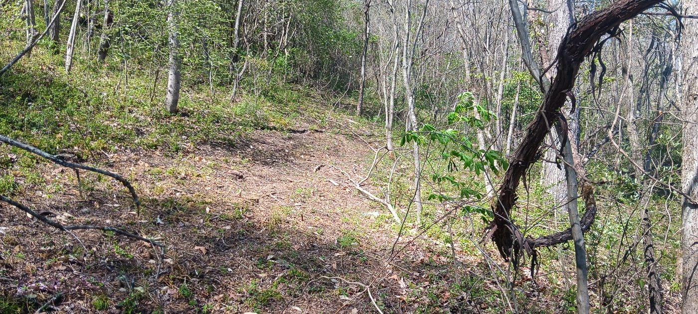
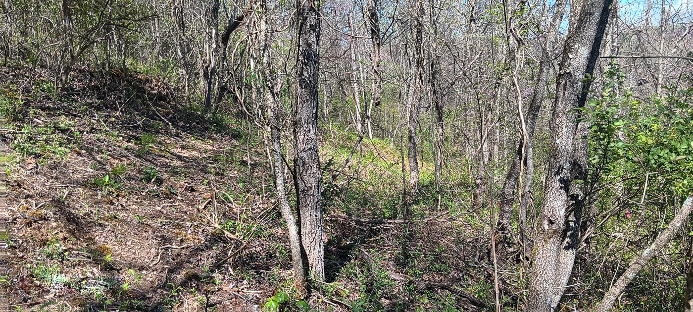
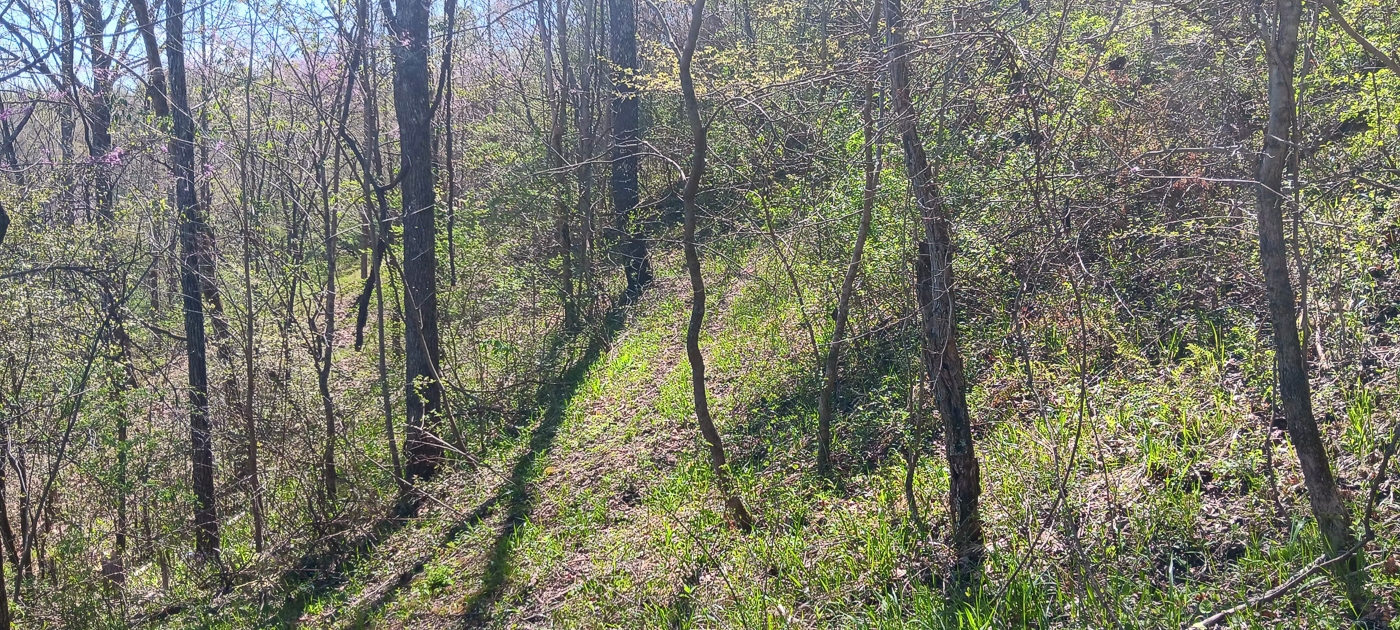
New Trail leading to Rock Outcropping
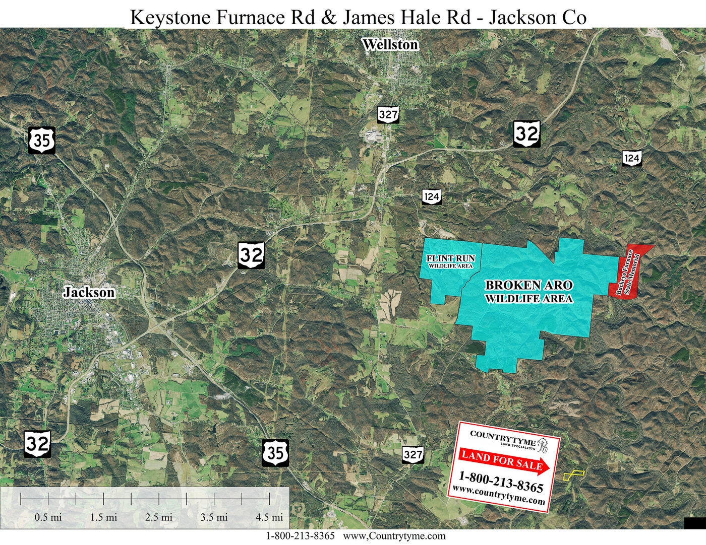
Only minutes to Buckeye Furnace State Memorial, and Broken Aro and Flint Run Wildlife Areas (Thousands of Acres of Public Recreation)
Loaded with Wildlife
Excellent Deer and Turkey Hunting
Beautiful Remote County Setting, only Minutes from all of the conveniences of town
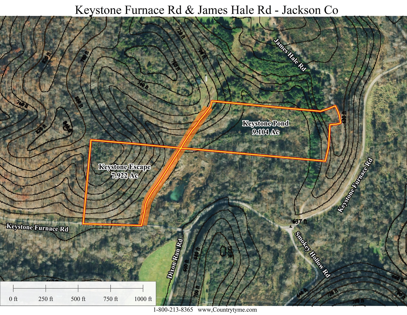
7.922 Acres – Property Lines and Corner Pins Recently Marked
Additional Acreage Available (Keystone Pond – 9.104 Acres)
No Zoning and No Deed Restrictions
Soil Testing Complete for On-Site Septic
Oil and Gas Rights Transfer with No Active Leases (ATO)
Jackson Co Water Available at Keystone Furnace Rd
Buckeye Rural Electric Available along access easement
Oak Hill School District
Bloomfield Twp, Jackson County
Parcel #A010010003507
Taxes are currently $176.80 per year 3.2 Miles to Broken Aro/Flint Run Wildlife Areas
6.4 Mile to Buckeye Furnace State Memorial
9.2 Miles to Wellston
9.7 Miles to Jackson
38.3 Miles to Athens
76 Miles to Columbus
109 Miles to Cincinnati
110 Miles to DaytonCountrytyme Maps and Additional Documentation A Countrytyme advantage
Take the property lines into the field. On your phone, tap Walk property lines , allow your location when asked, and follow the blue dot in Tract Explorer to see your position in relation to the mapped boundary while you explore.
Walk property lines Property photos Show 48 more photos