This property has sold.
The interactive map and property-line walking tools remain available. Driving directions are not provided for sold properties.
Interactive property map
Explore this property map. Switch aerial, topographic, soil, water, contour, and terrain layers while the mapped project boundary stays visible.
Property Description Tract 2 at The Caves at CallawayPicturesque Home/Cabin Site or Recreational Retreat
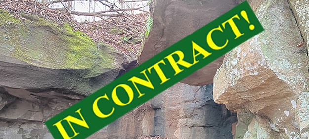
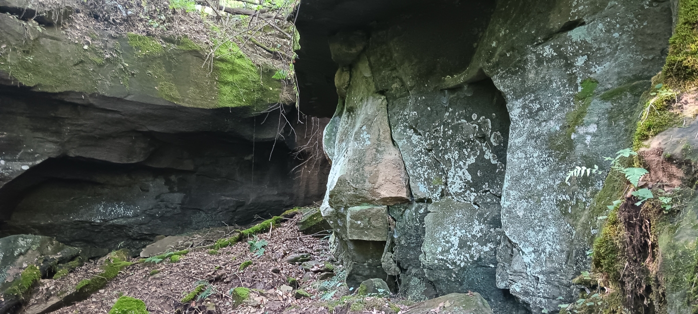
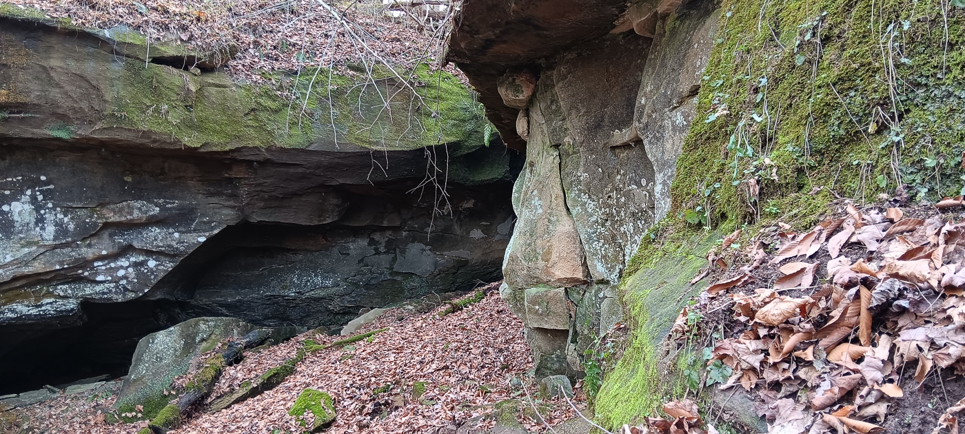
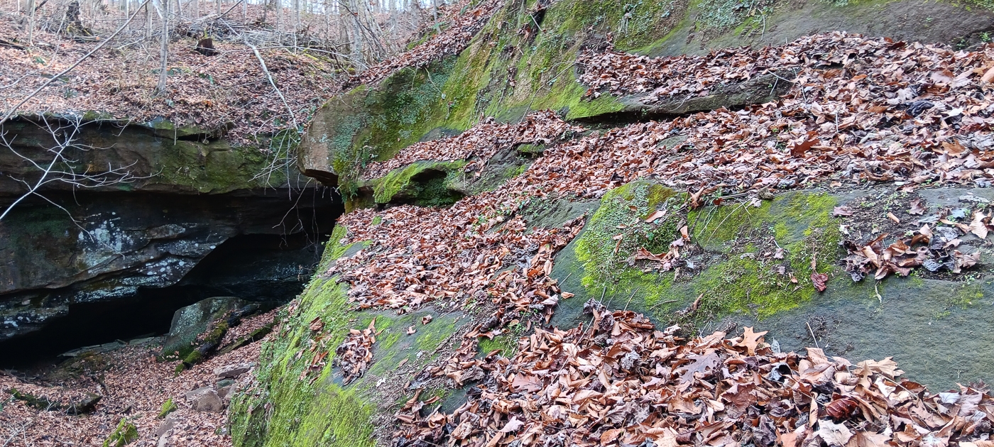
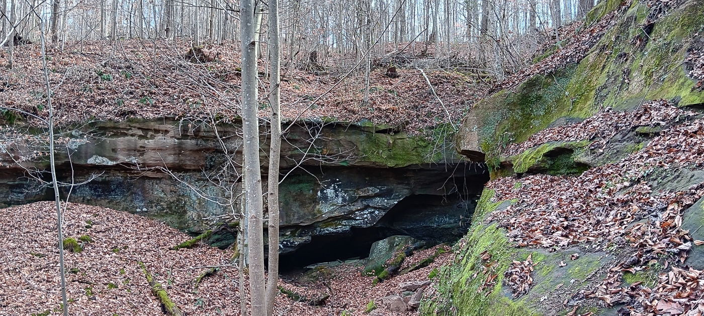
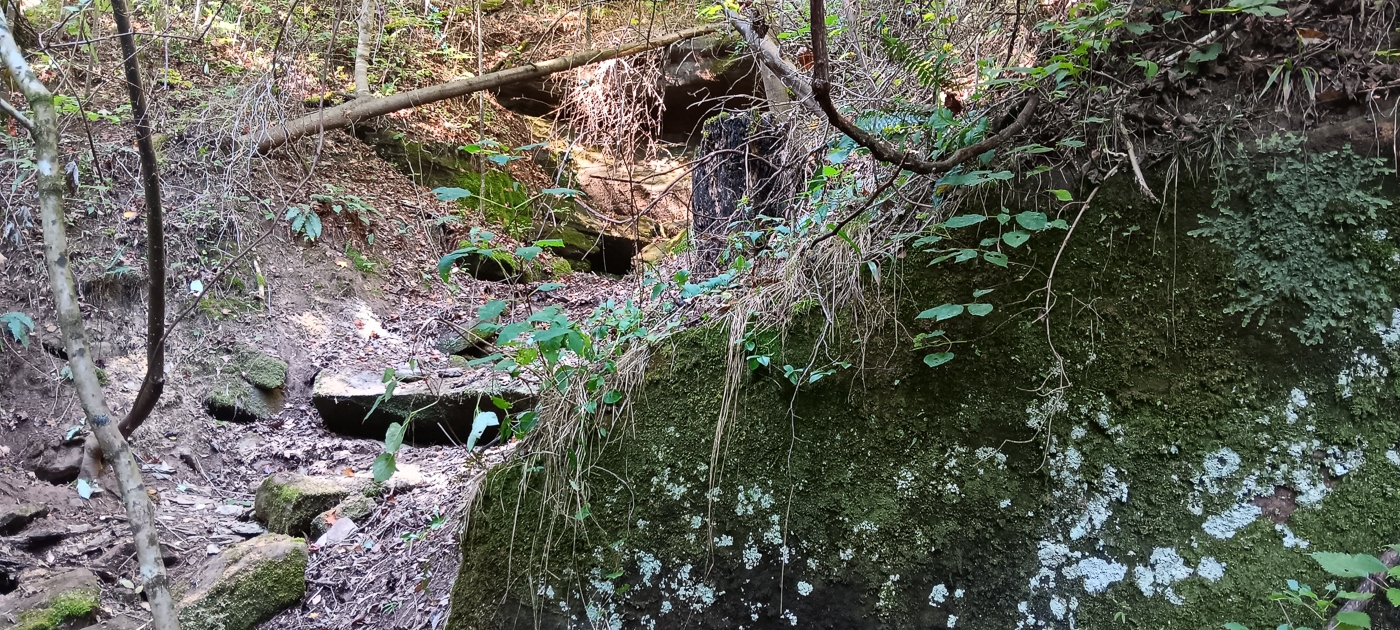
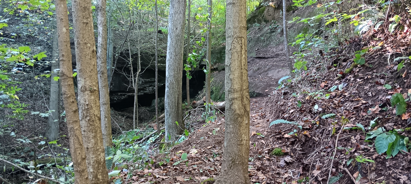
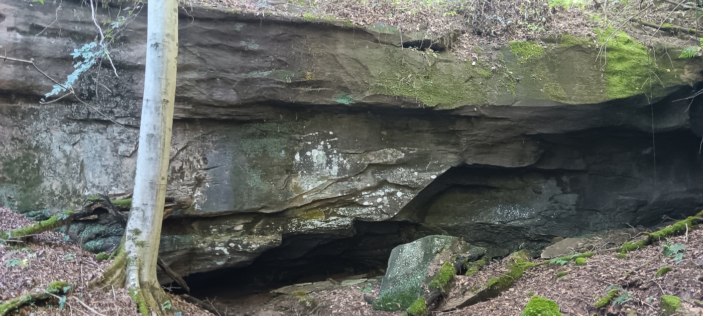
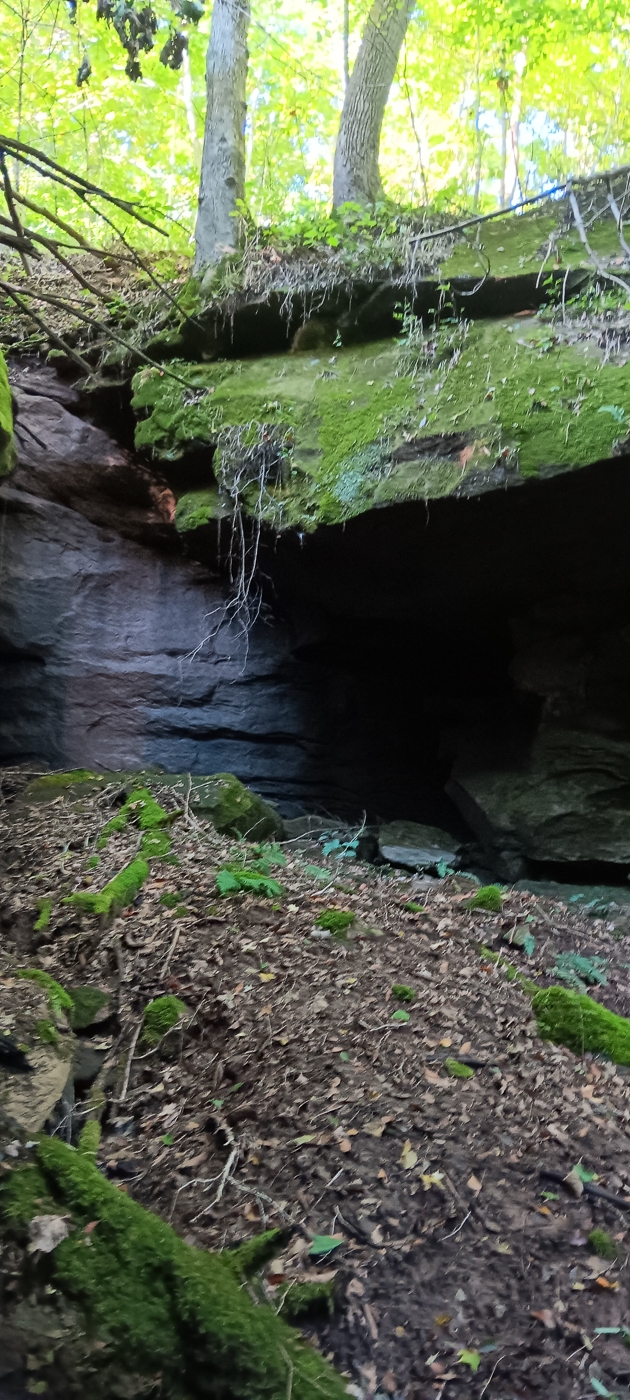
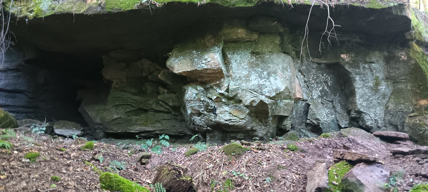
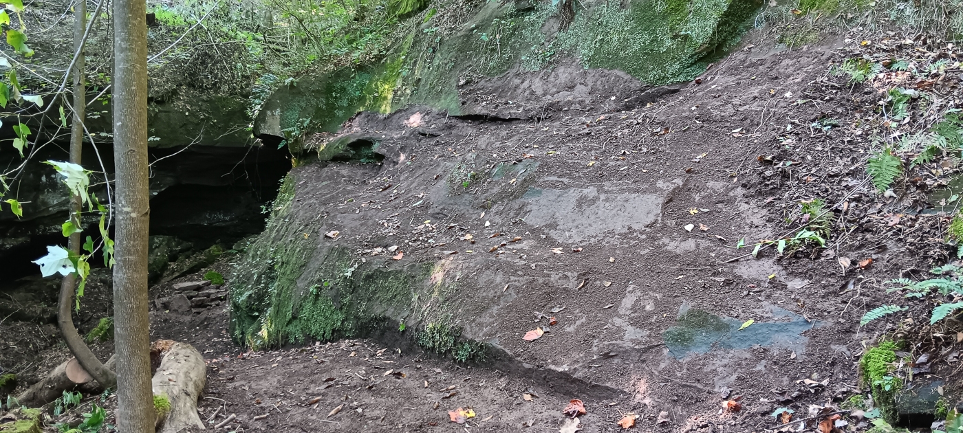
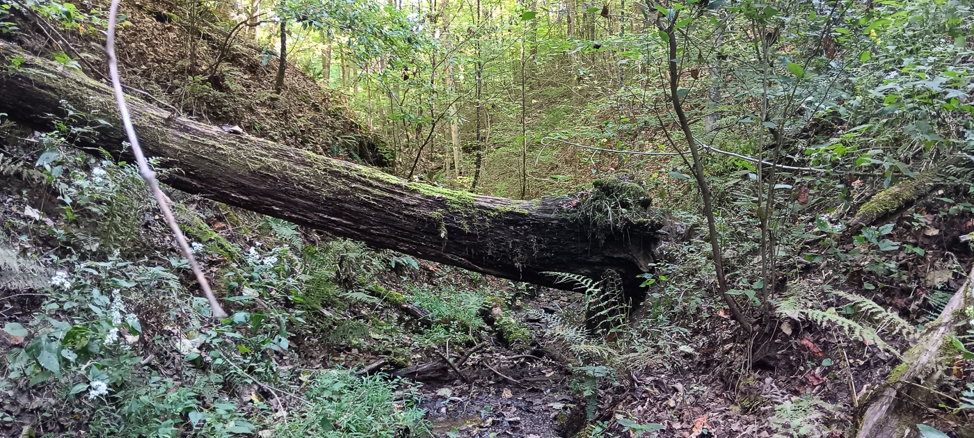
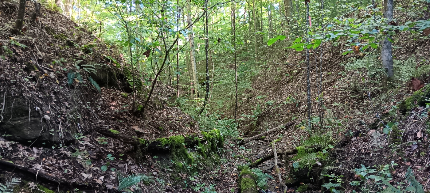
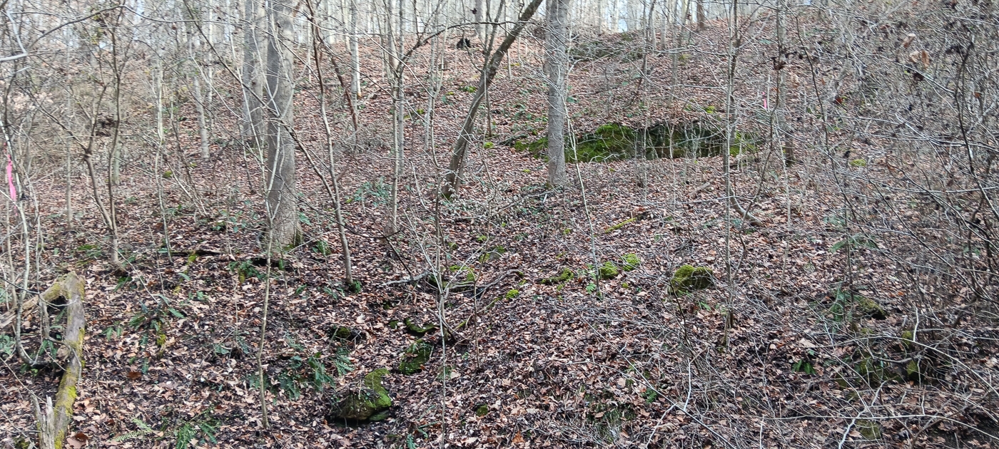
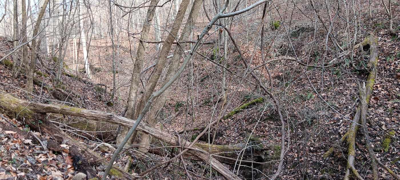
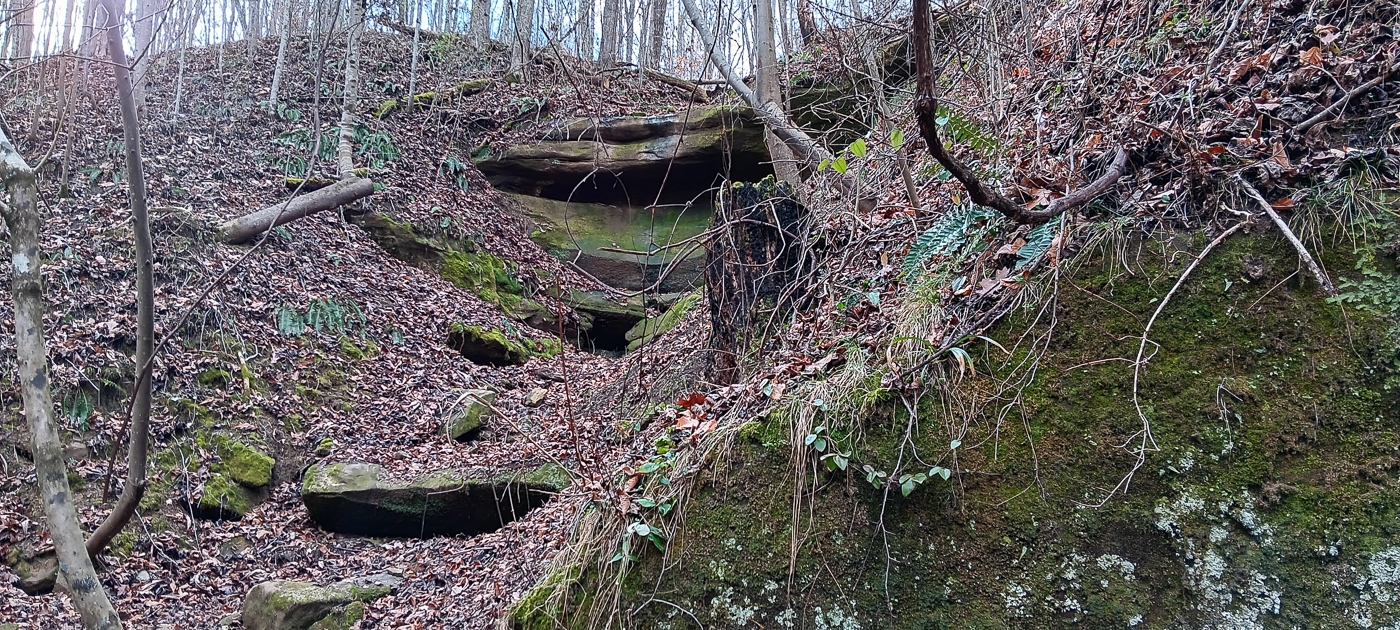
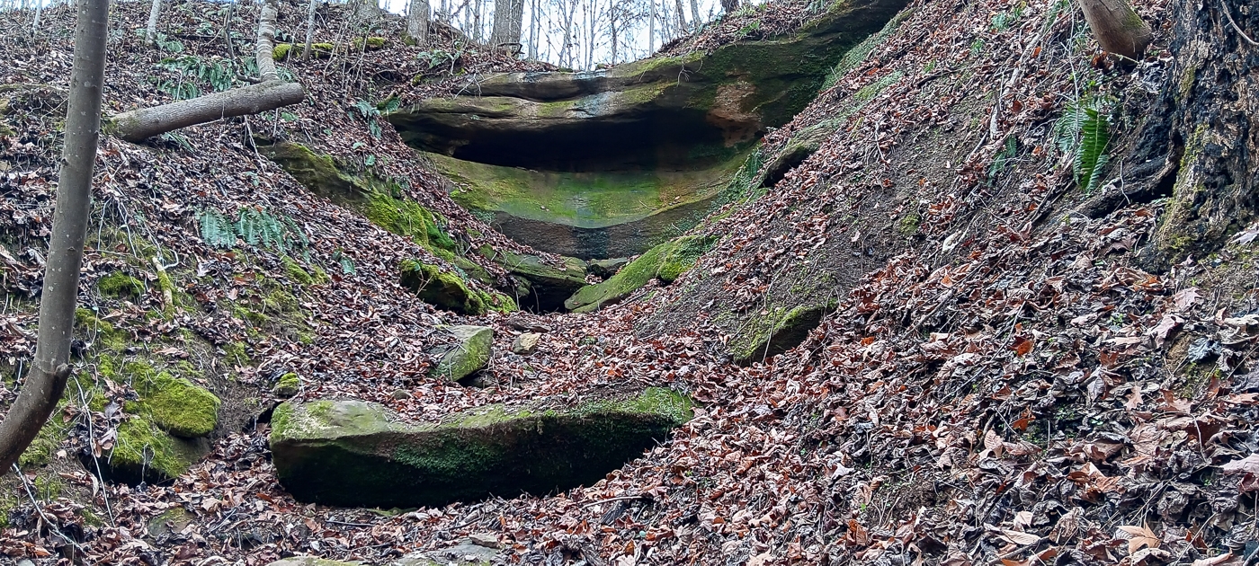
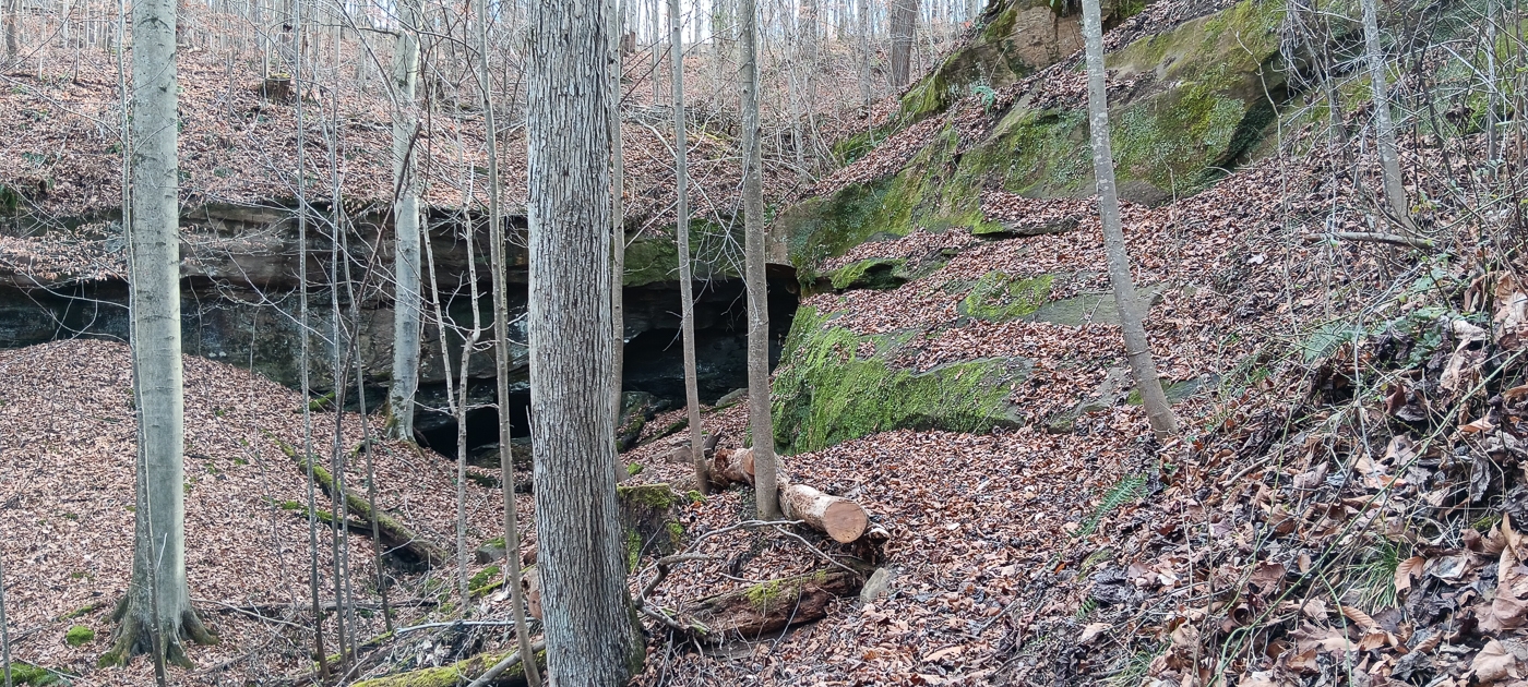
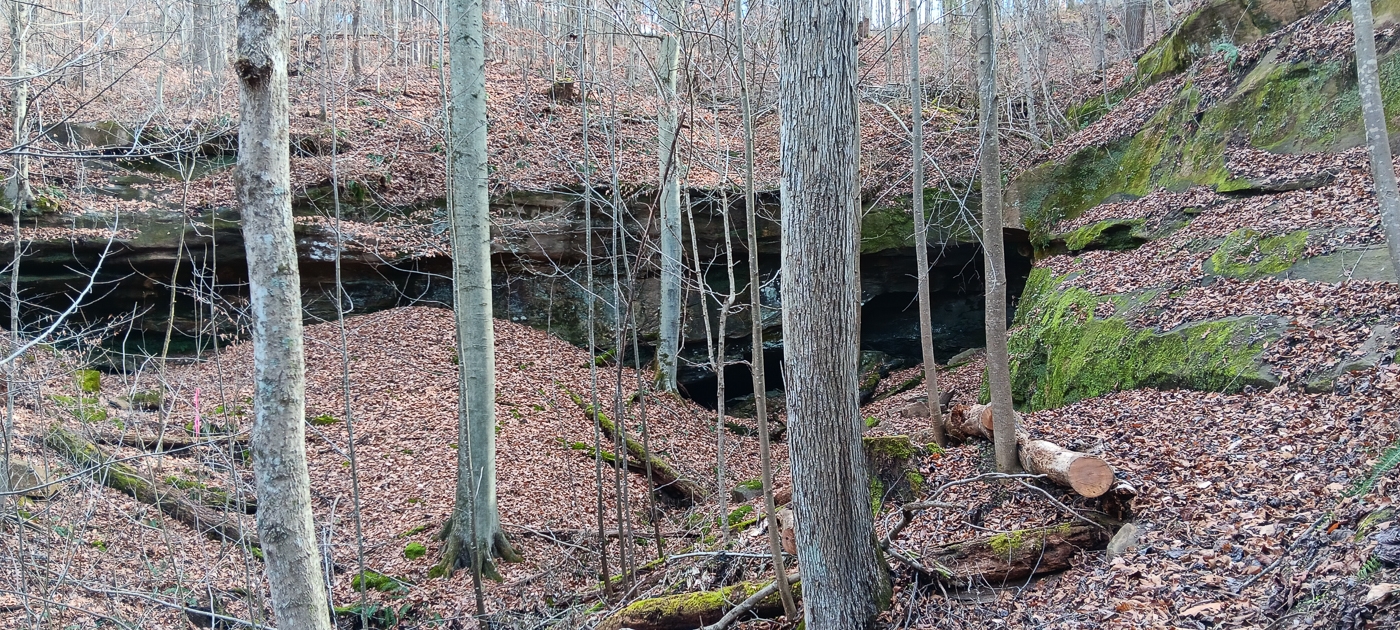
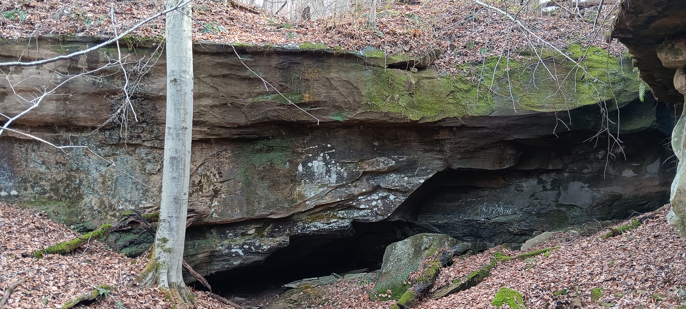
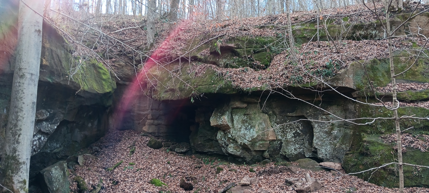
Tremendous Rock Features with Multiple Cave
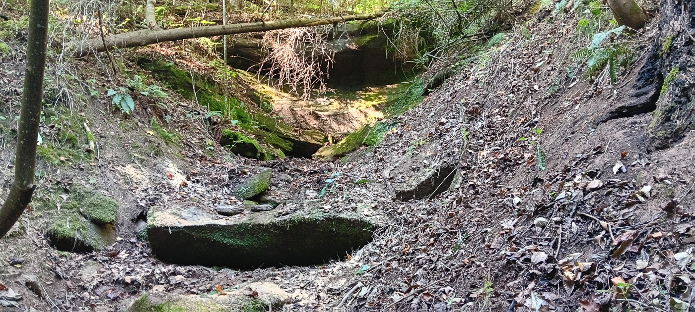
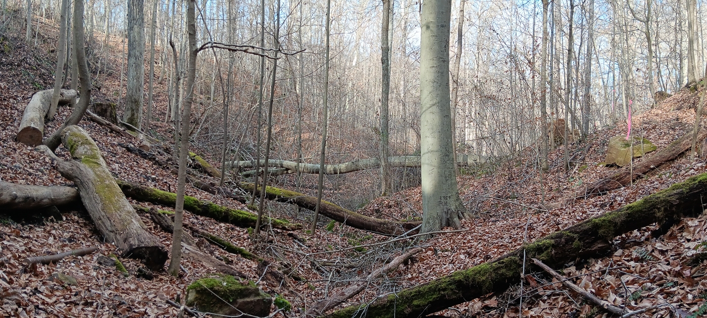
Wet weather Rocky Stream and Waterfall
Approximately 20 minutes to State Street Athens - Menards, Lowes, Grocery Stores, Restaurants, etc…
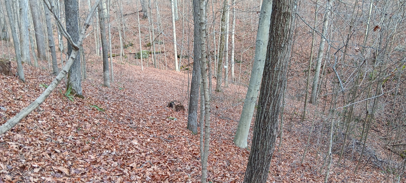
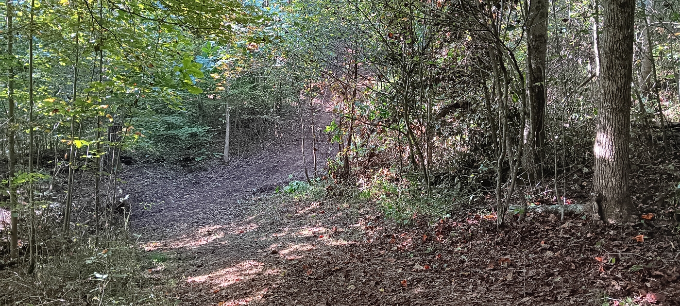
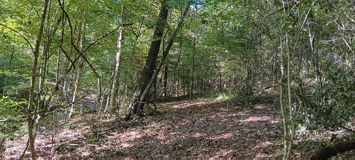
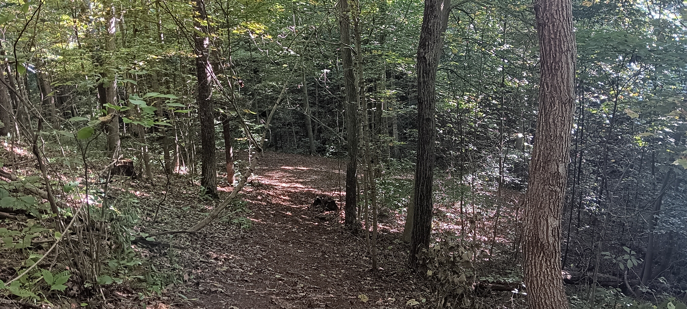
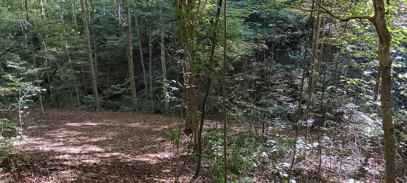
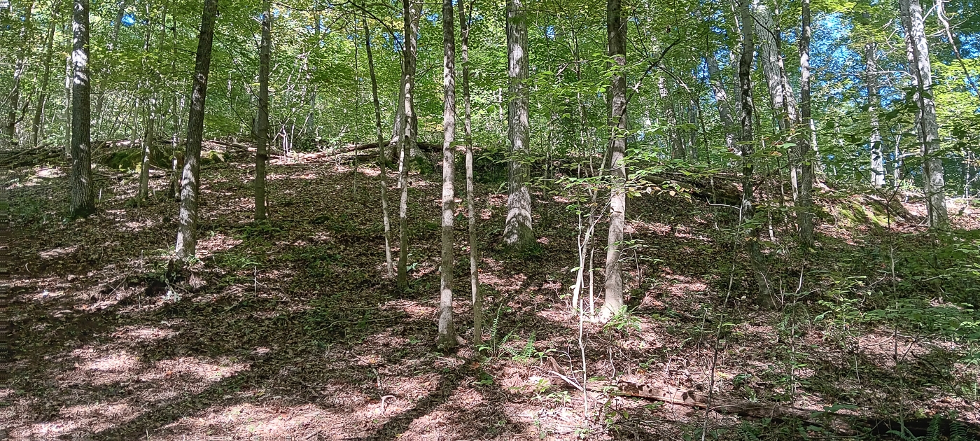
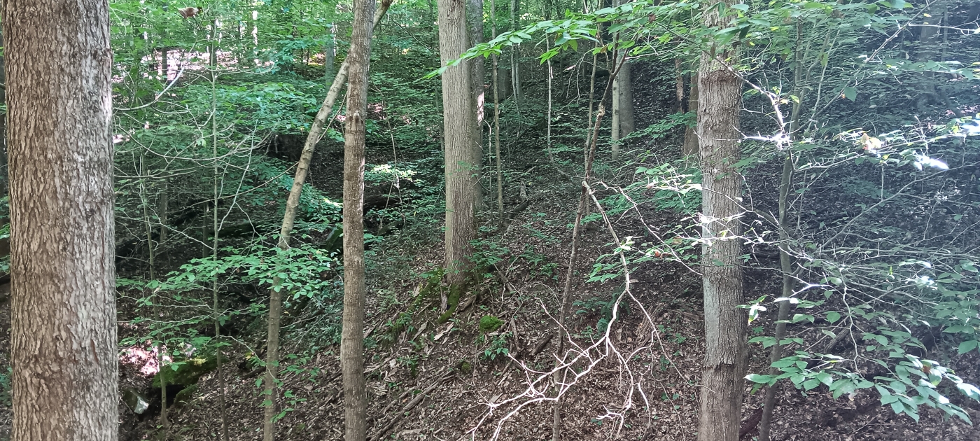
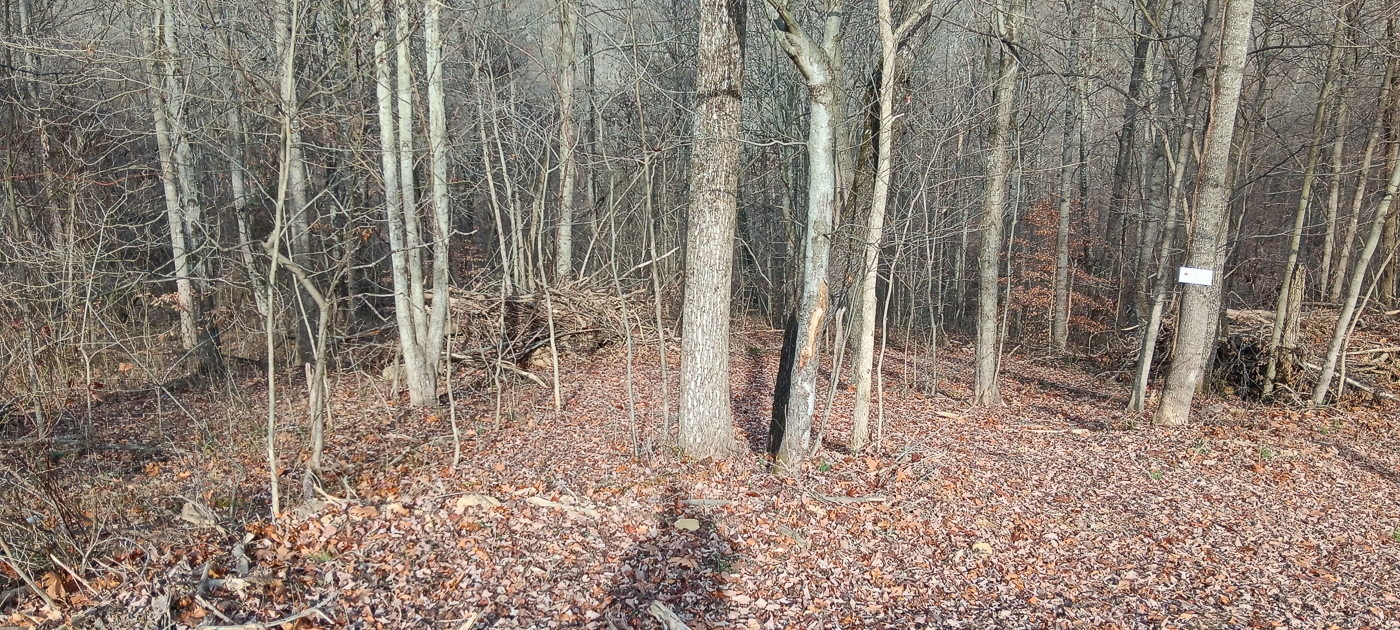
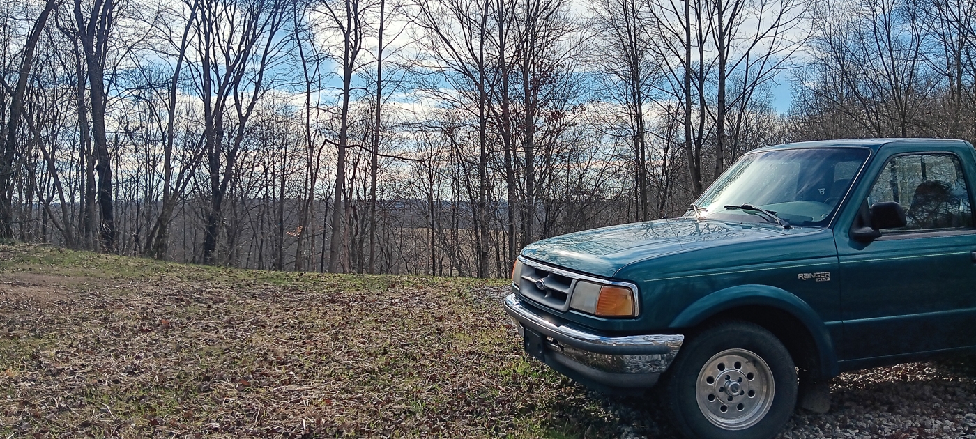
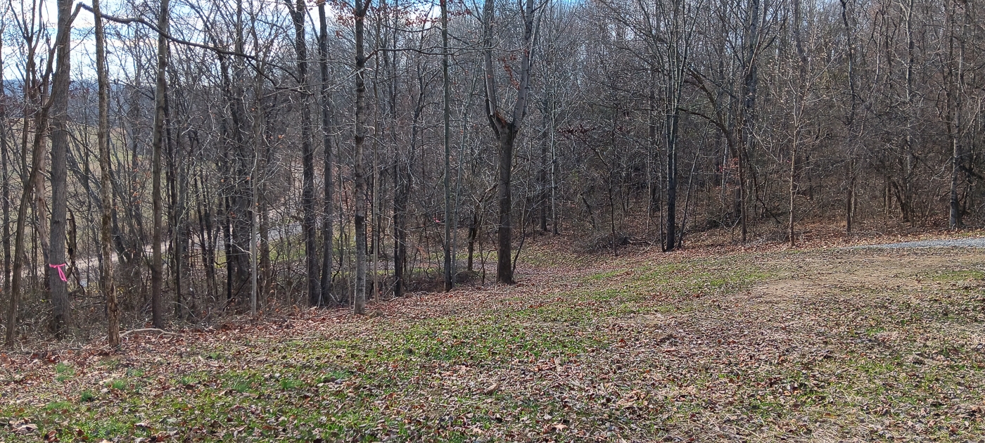
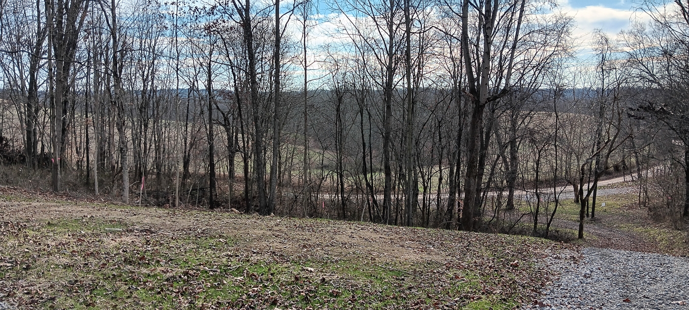
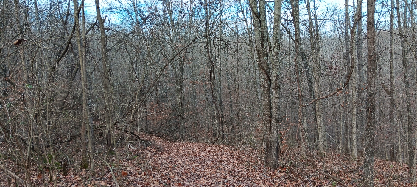
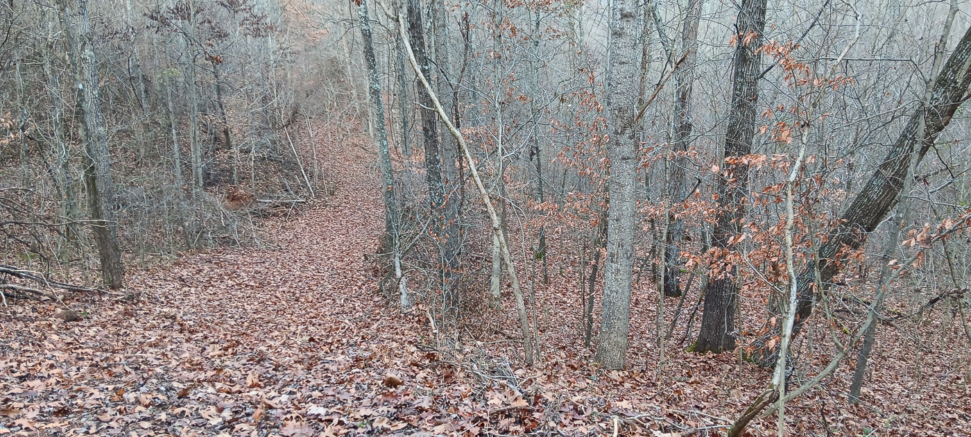
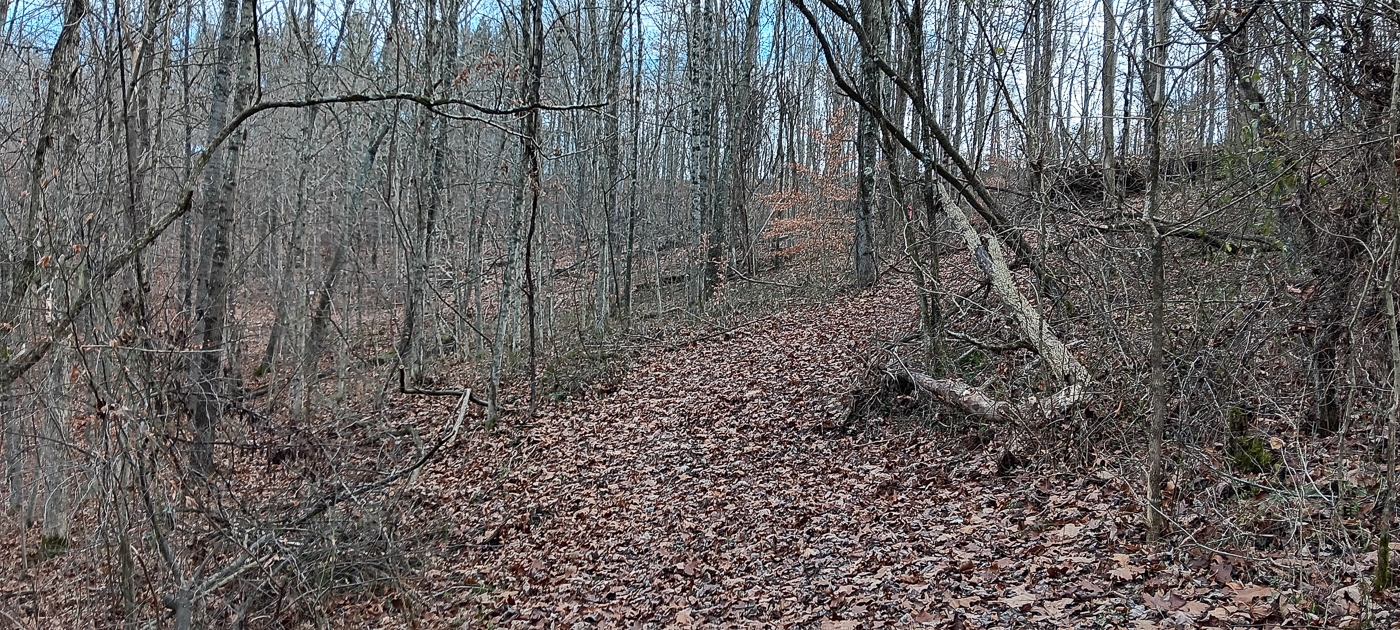
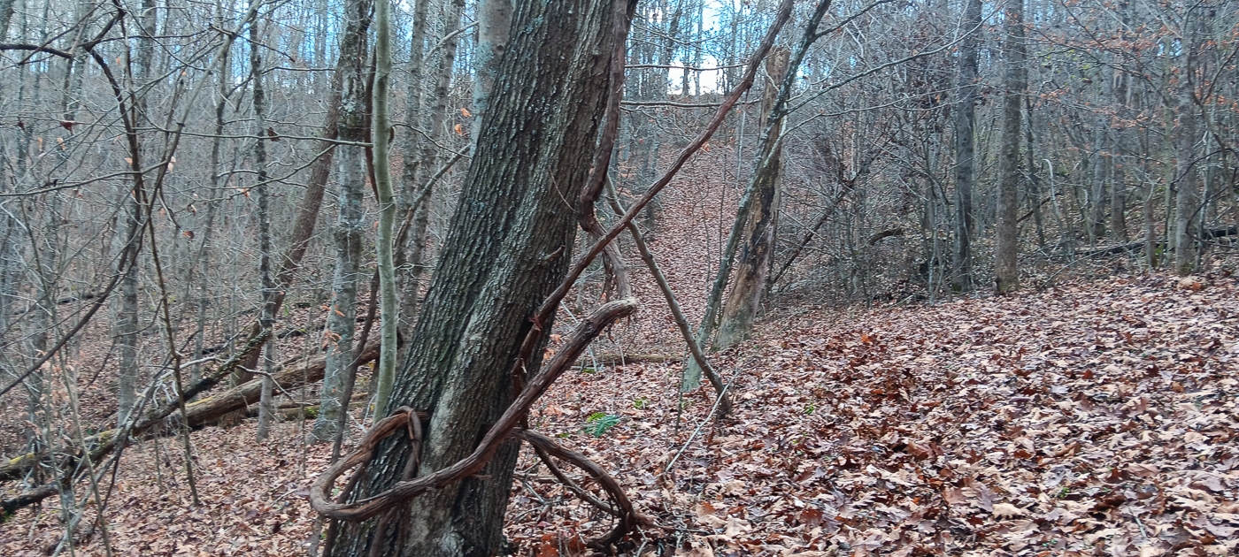
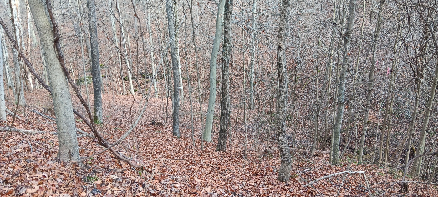
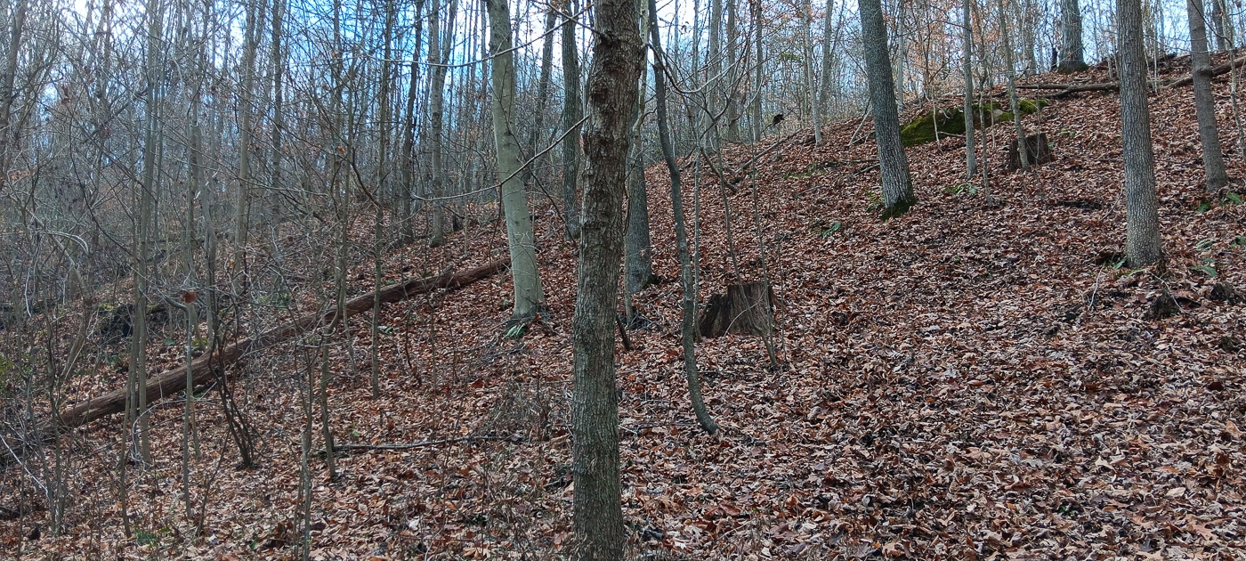
Beautiful Mature Woods
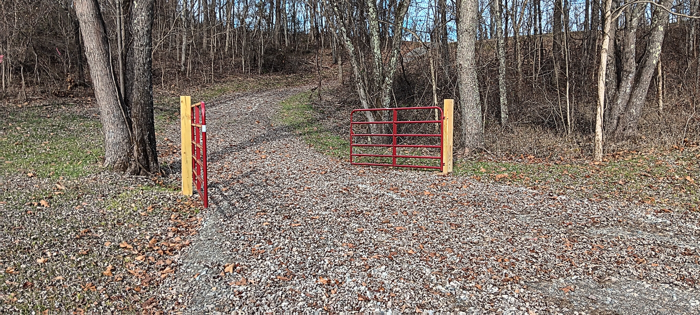
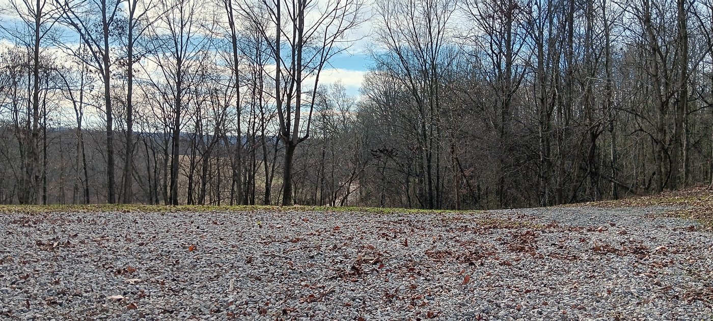
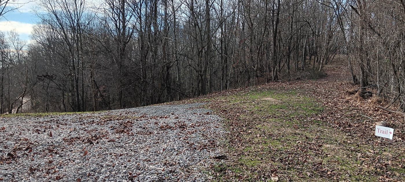
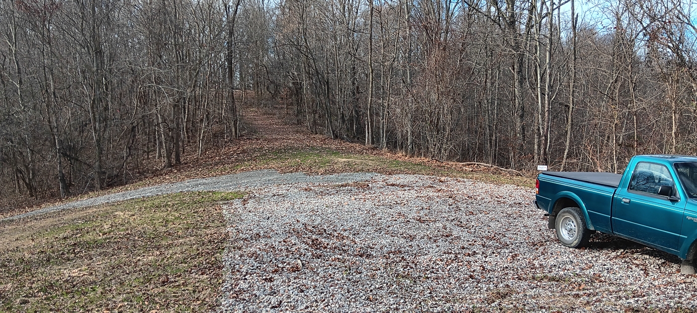
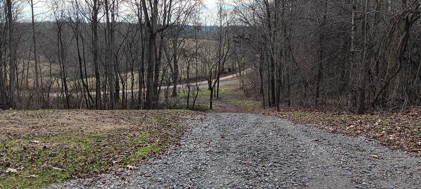
New Gated Gravel Driveway
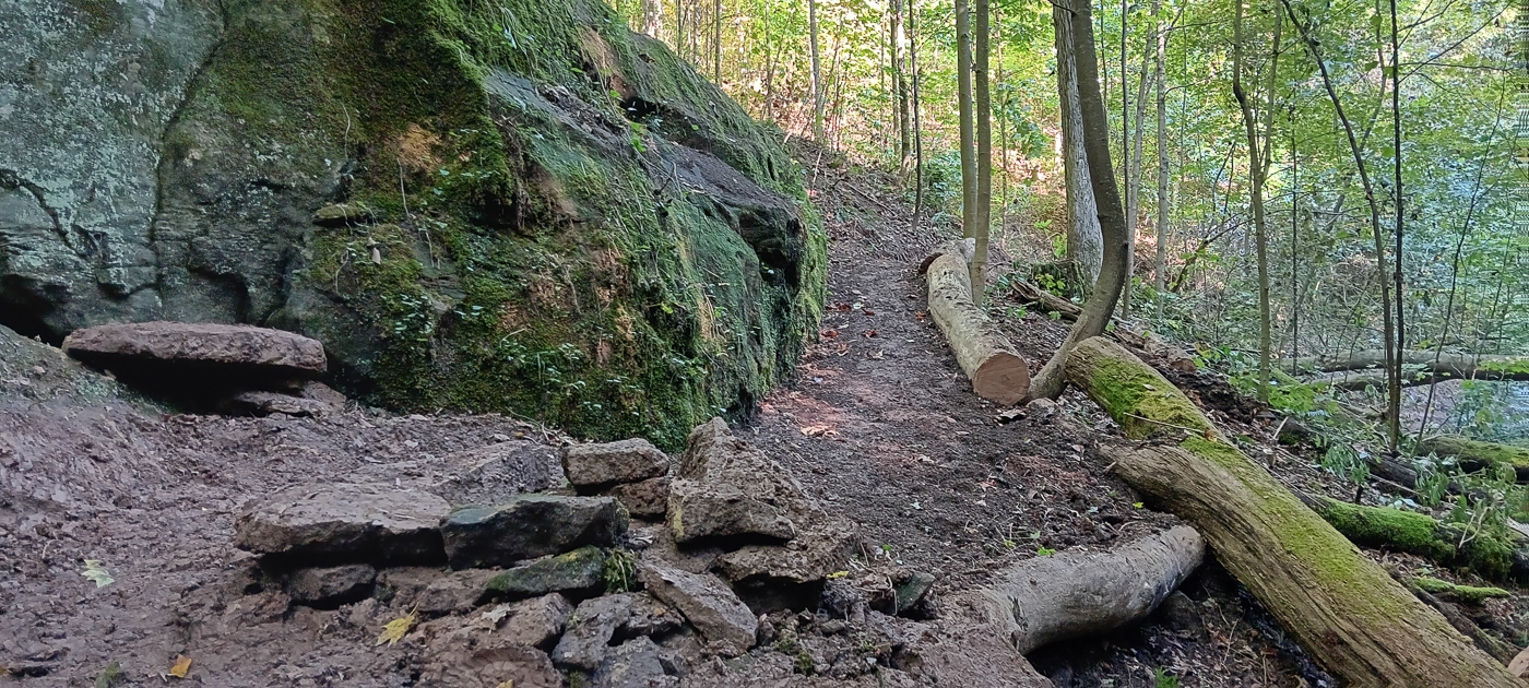
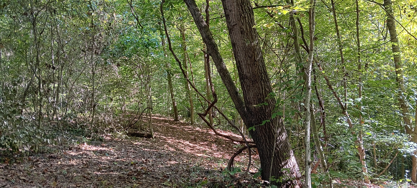
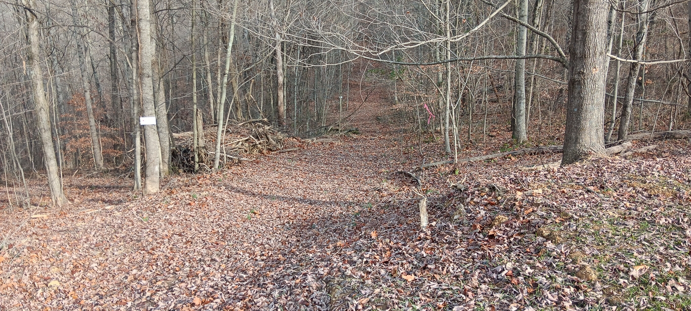
Extensive Manicured Trail System
Tremendous Views
Beautiful Remote Country Setting
Loaded with Wildlife
Excellent Deer and Turkey Hunting
New Survey - Tract 2 (5.006 Acres)
Property Lines marked with pink ribbon every 20-50 feet
No Zoning and No Deed Restrictions
Mineral Rights Transfer with No Active leases (ATO)
Additional Acreage Available
AEP Electric just down the street
Tupper Plains Water at the road
Orange Township, Meigs County
Eastern Local School District
Parcel # 1000083002 18 Miles to Athens
87 Miles to Columbus
140 Miles to Dayton
150 Miles to Cincinnati closest address for mapping is 42433 Callaway Road, Coolville, OH 45723 Street Signs read “Calaway Ridge Road” A Countrytyme advantage
Take the property lines into the field. On your phone, tap Walk property lines , allow your location when asked, and follow the blue dot in Tract Explorer to see your position in relation to the mapped boundary while you explore.
Walk property lines Property photos Show 37 more photos