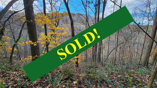
This property has sold.
The interactive map and property-line walking tools remain available. Driving directions are not provided for sold properties.
Interactive property map
Explore this property map. Switch aerial, topographic, soil, water, contour, and terrain layers while the mapped project boundary stays visible.
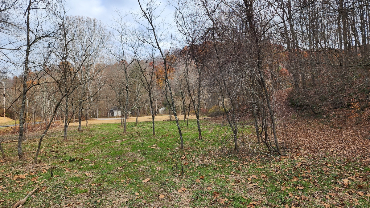
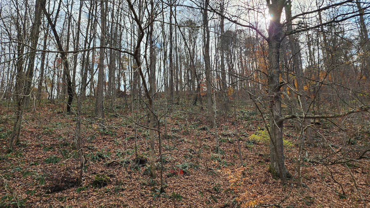
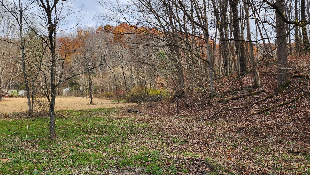
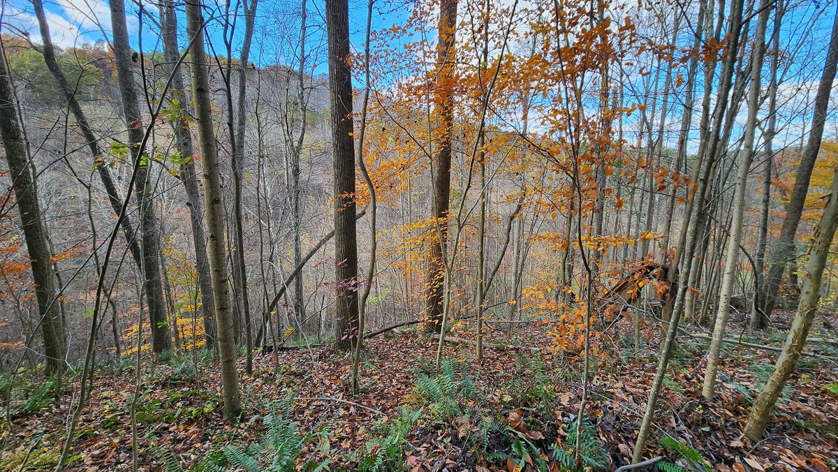
Property Description Tract 5 - The Woods at Blue CreekLuxury Cabin/Home Site or Recreational Retreat
Multiple building sites
Well suited for vacation rental cabins
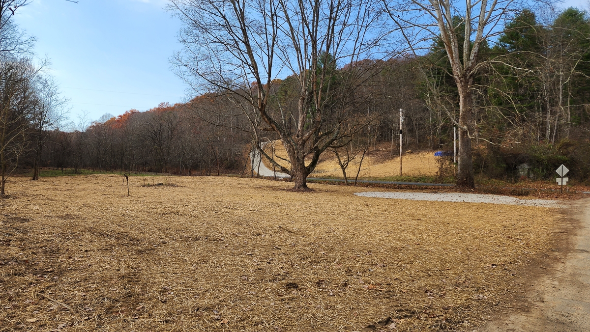
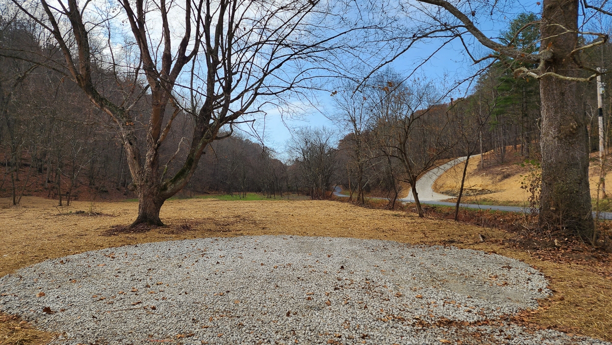
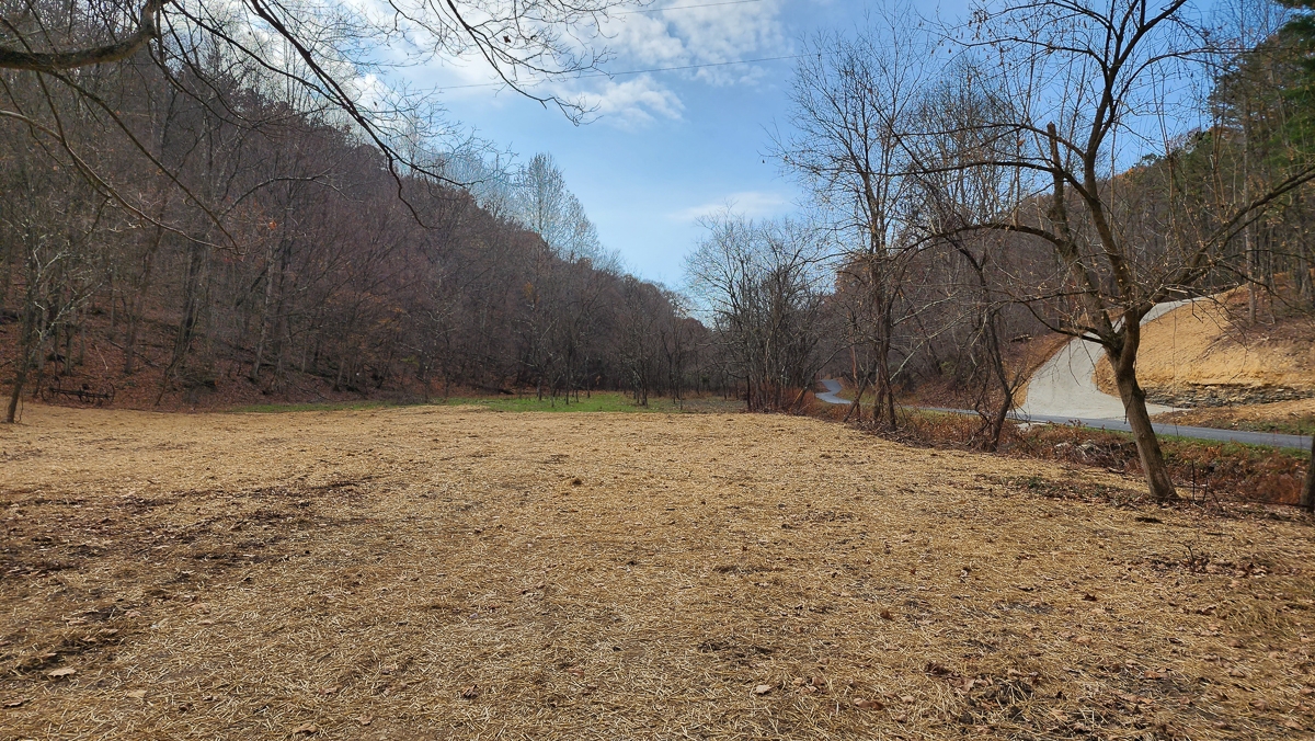
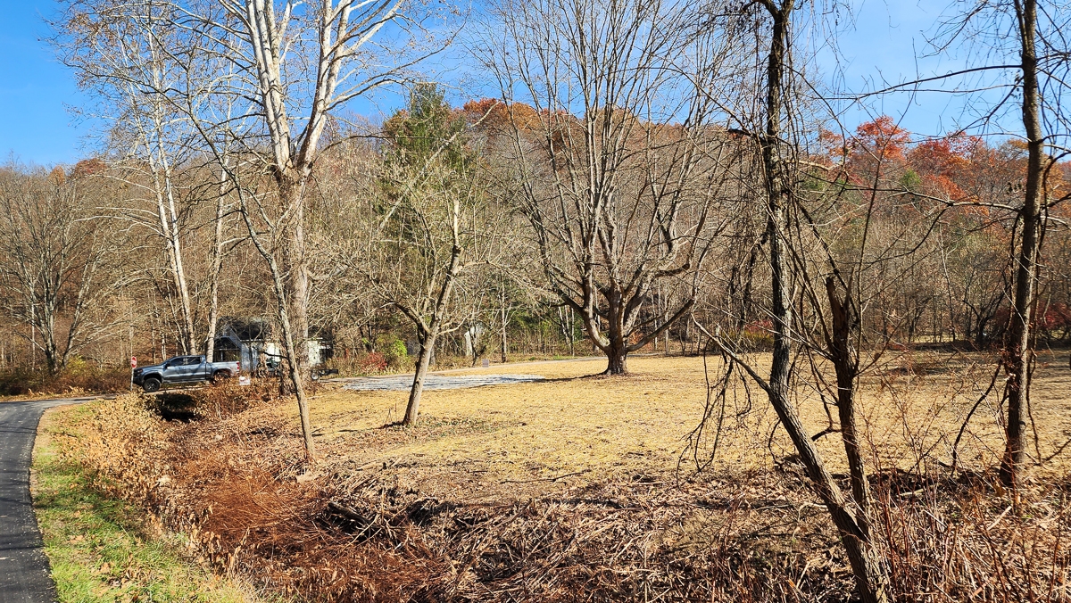
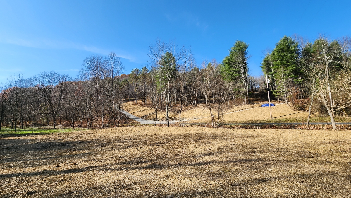
New Driveway Entrance Installed
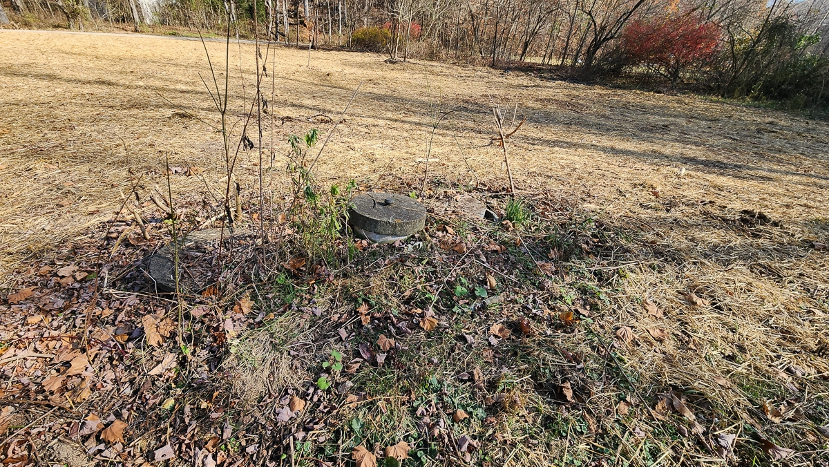
Existing Historic Well and Septic – (Not Tested or Warranted for Viability)
Choose Your Own Builder – No Time Limit To Build
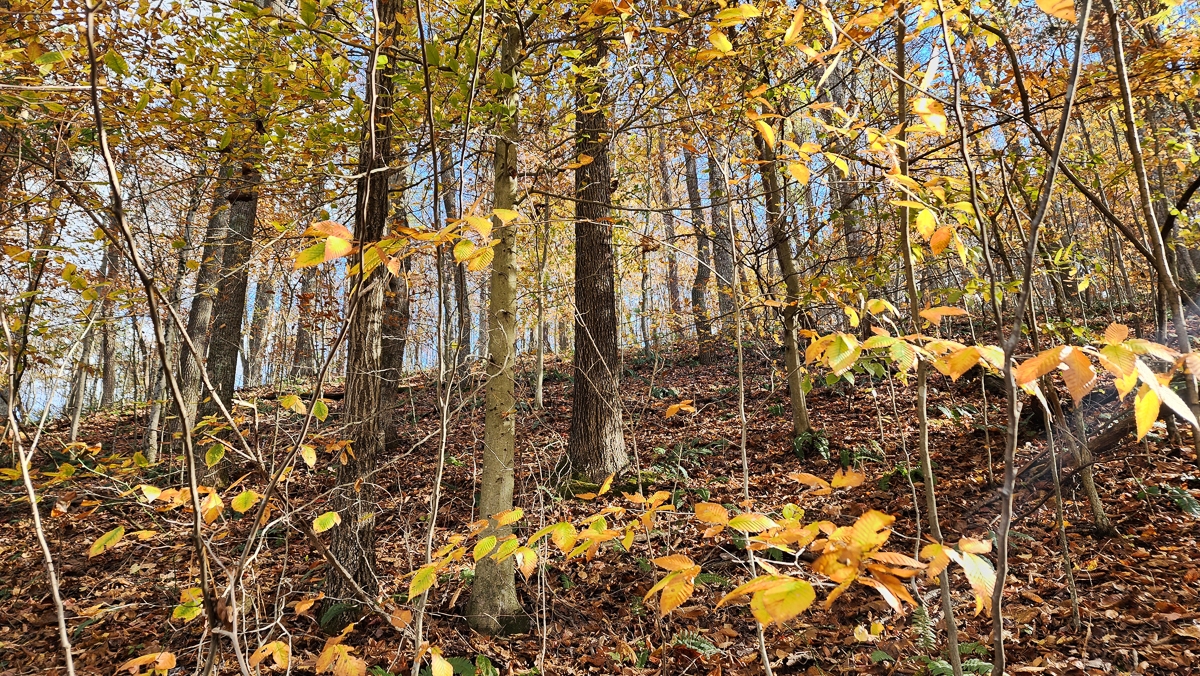
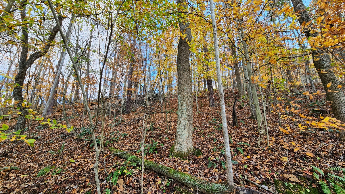
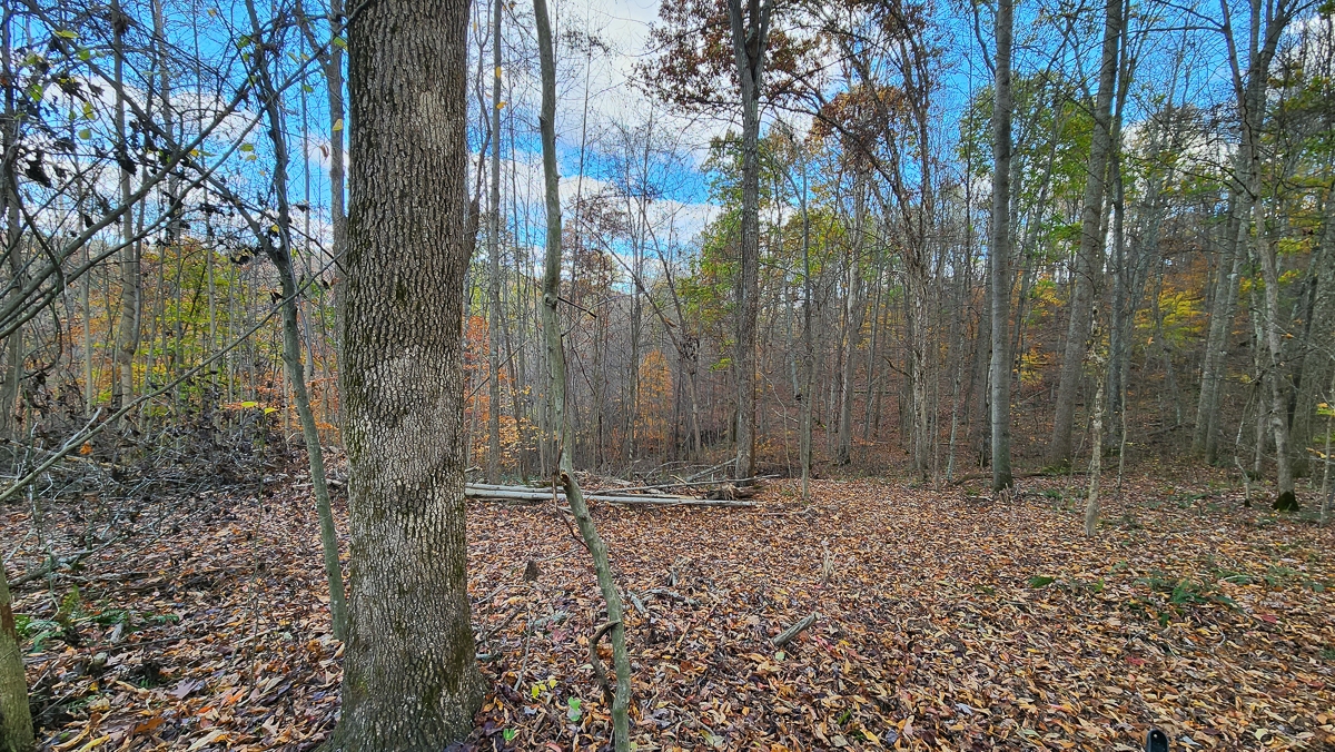
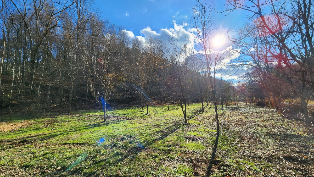
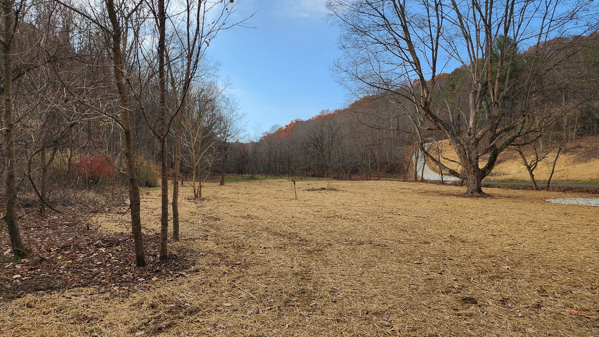
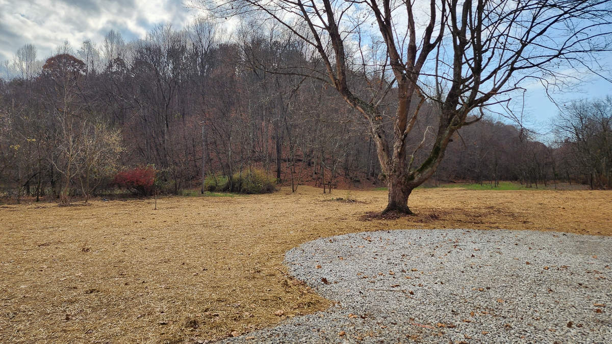
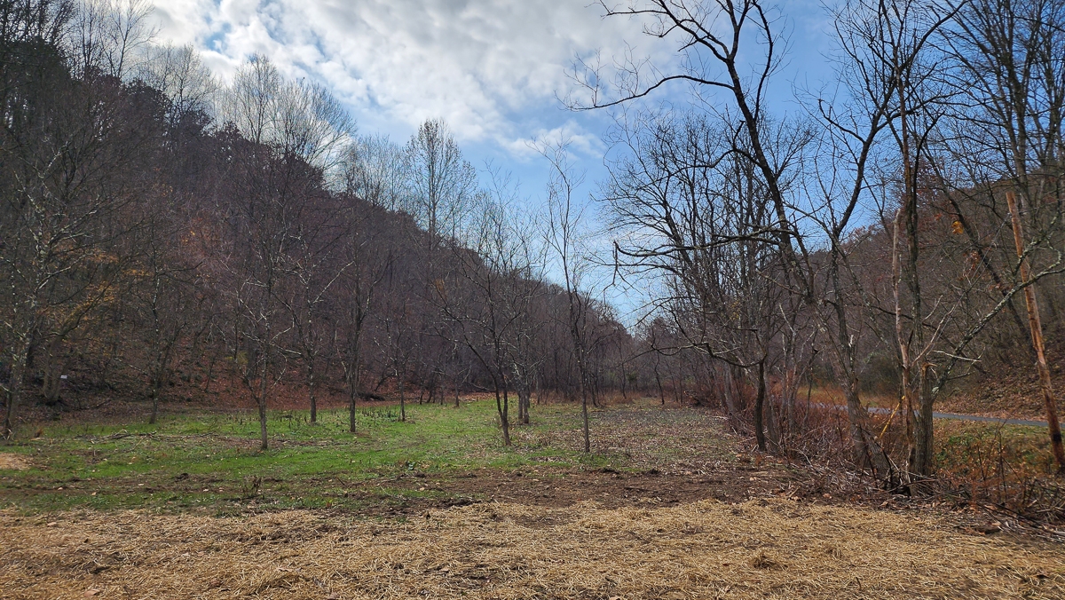
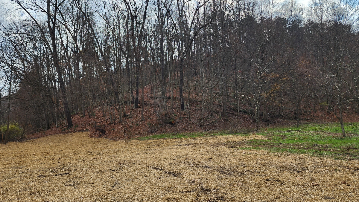
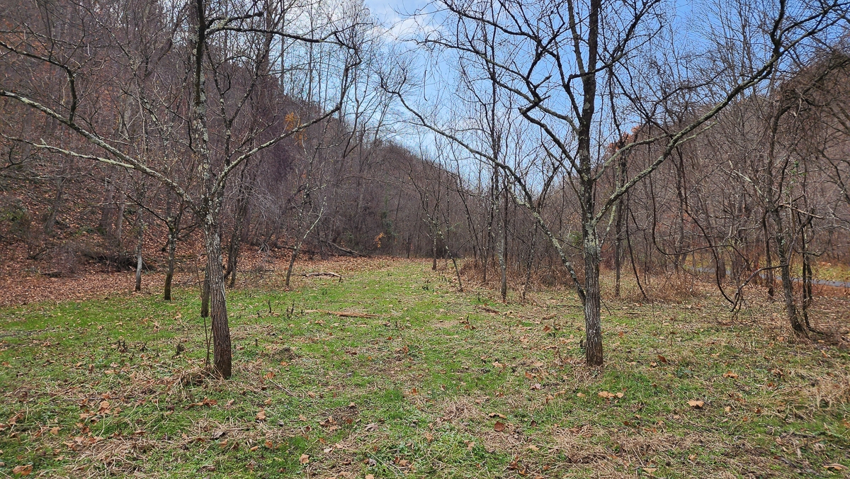
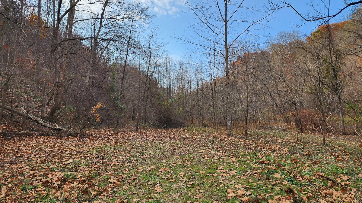
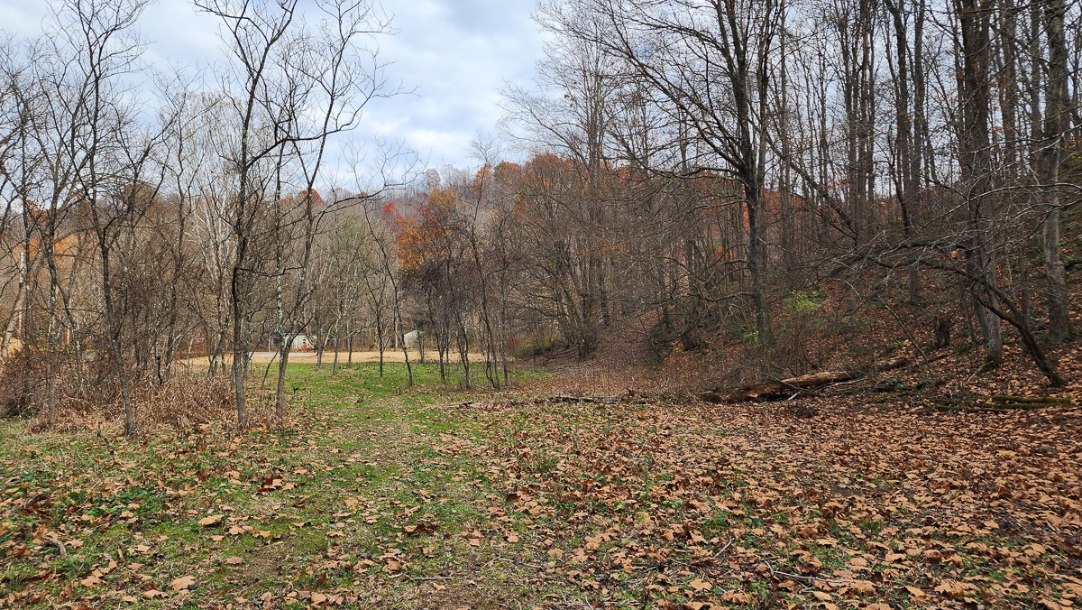
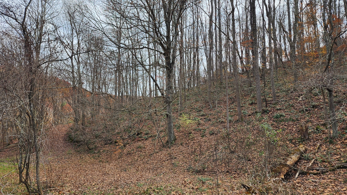
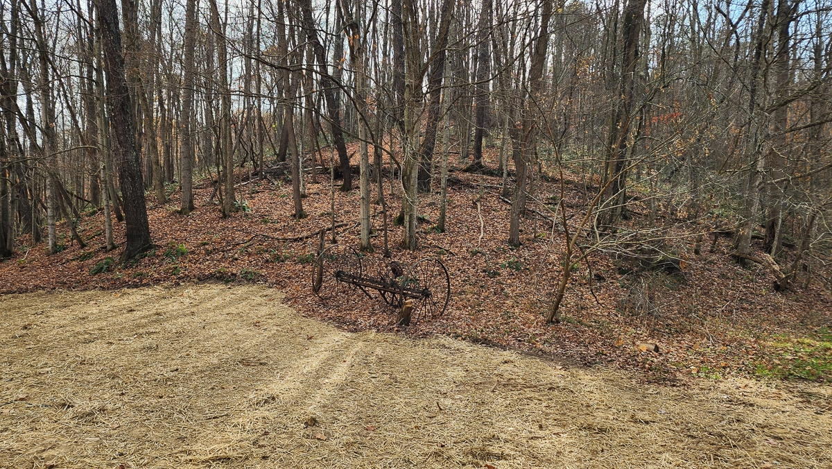
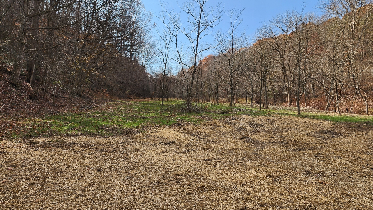
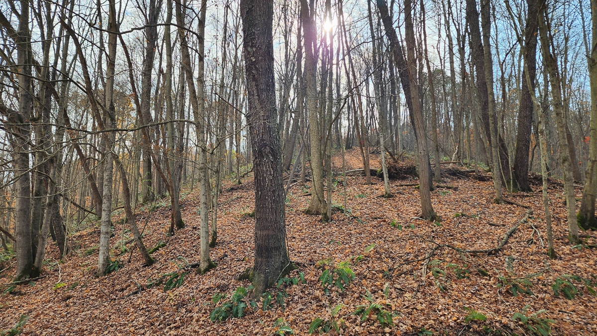
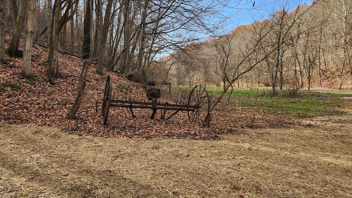
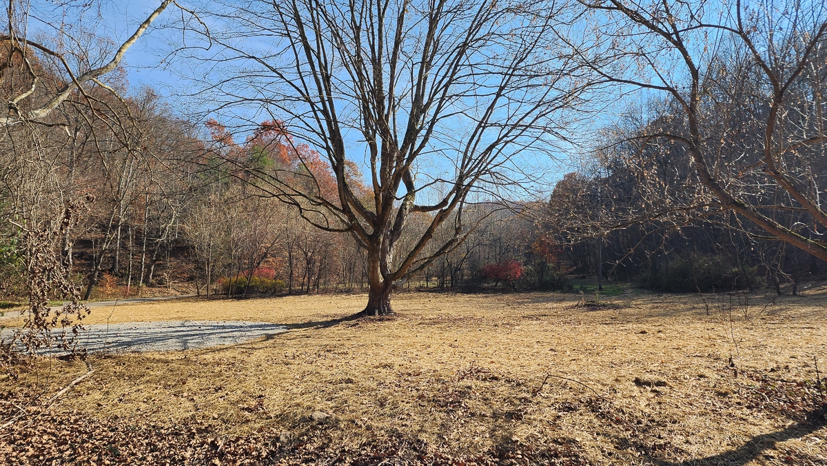
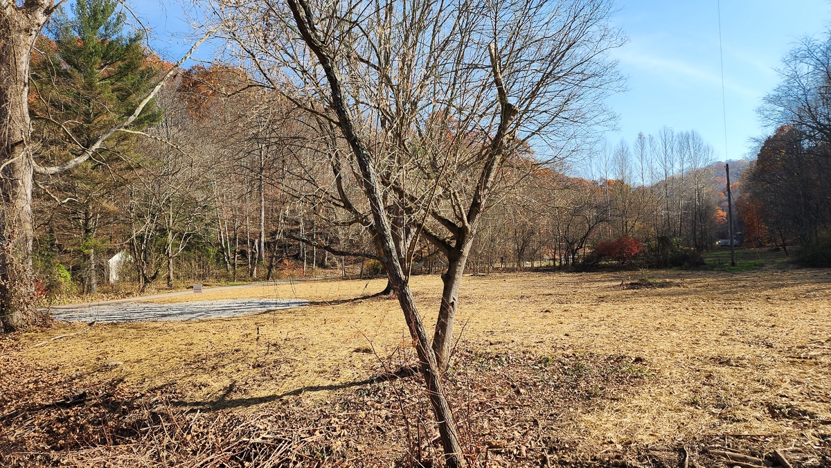
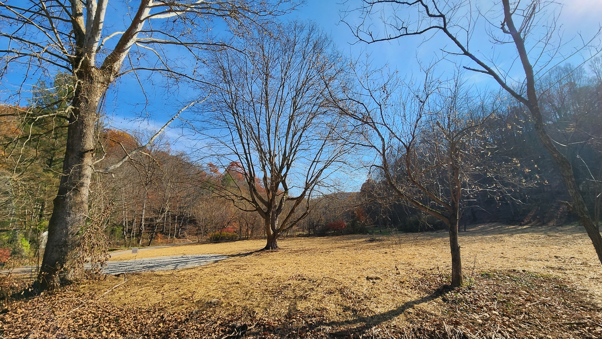
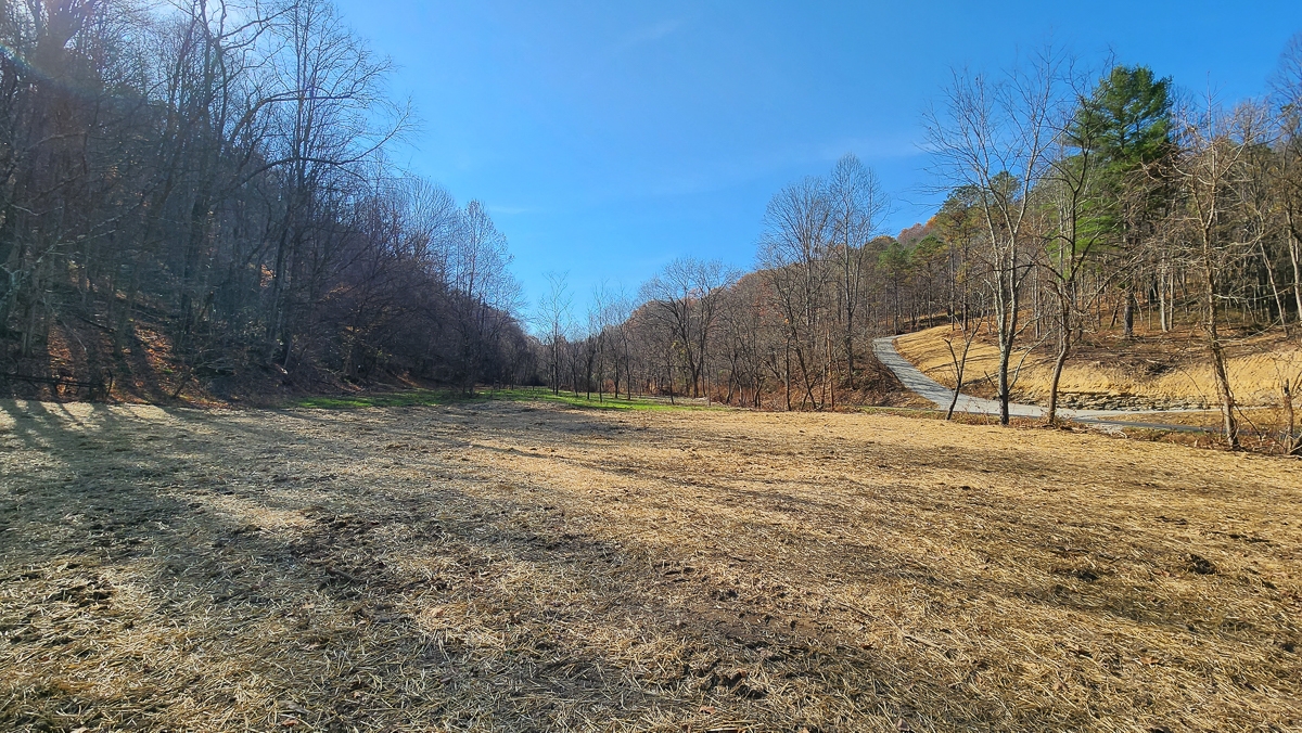
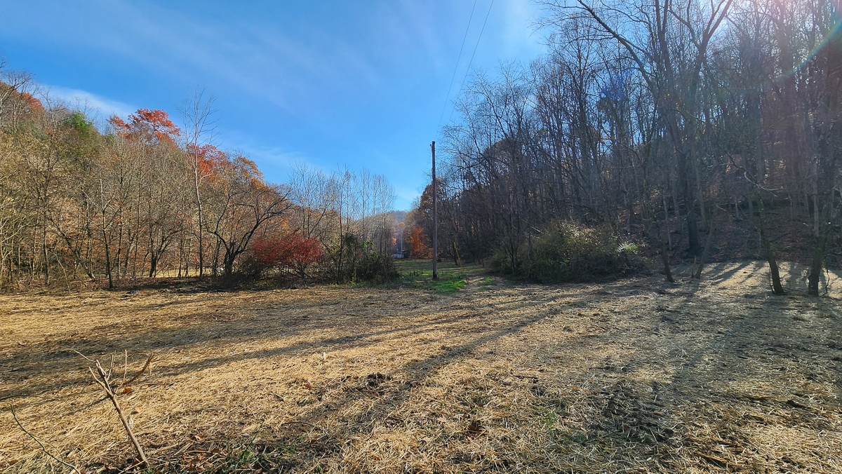
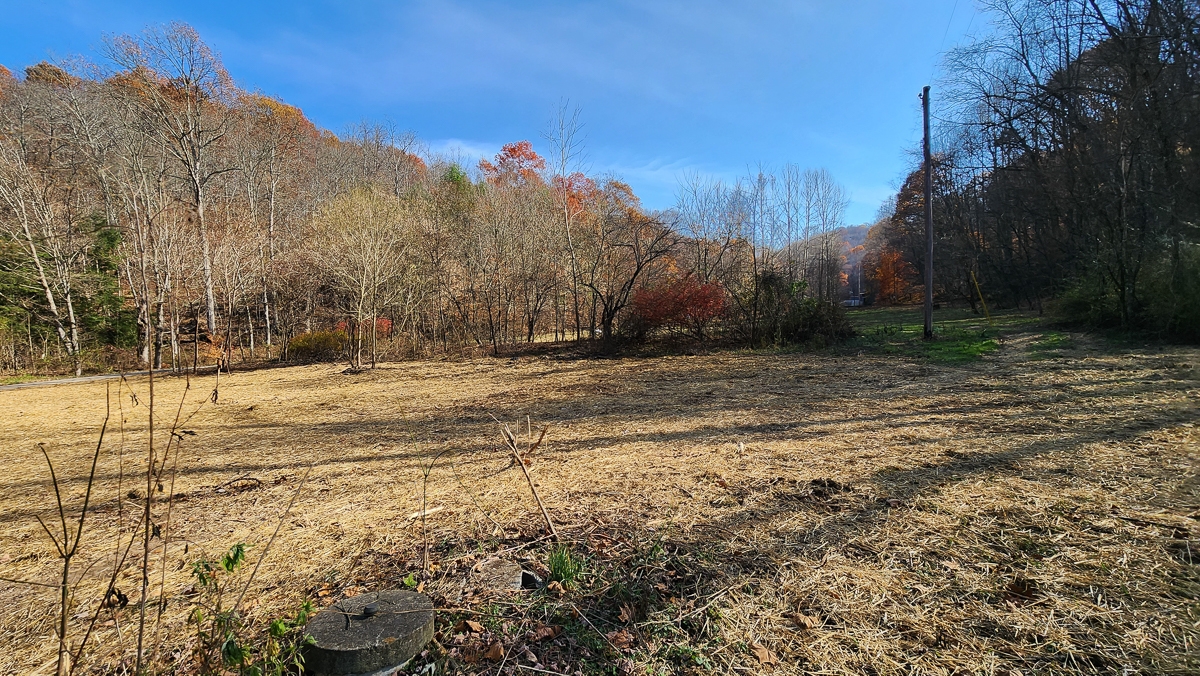
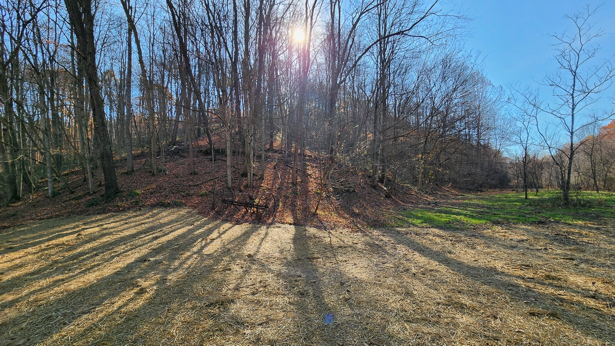
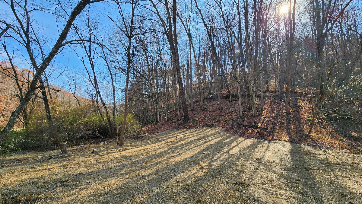
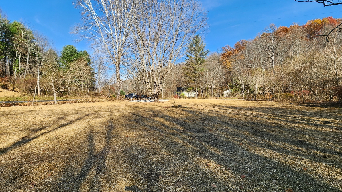
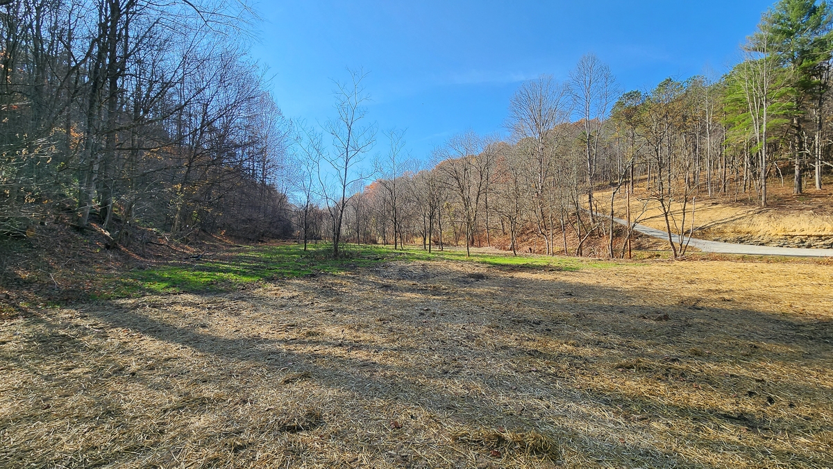
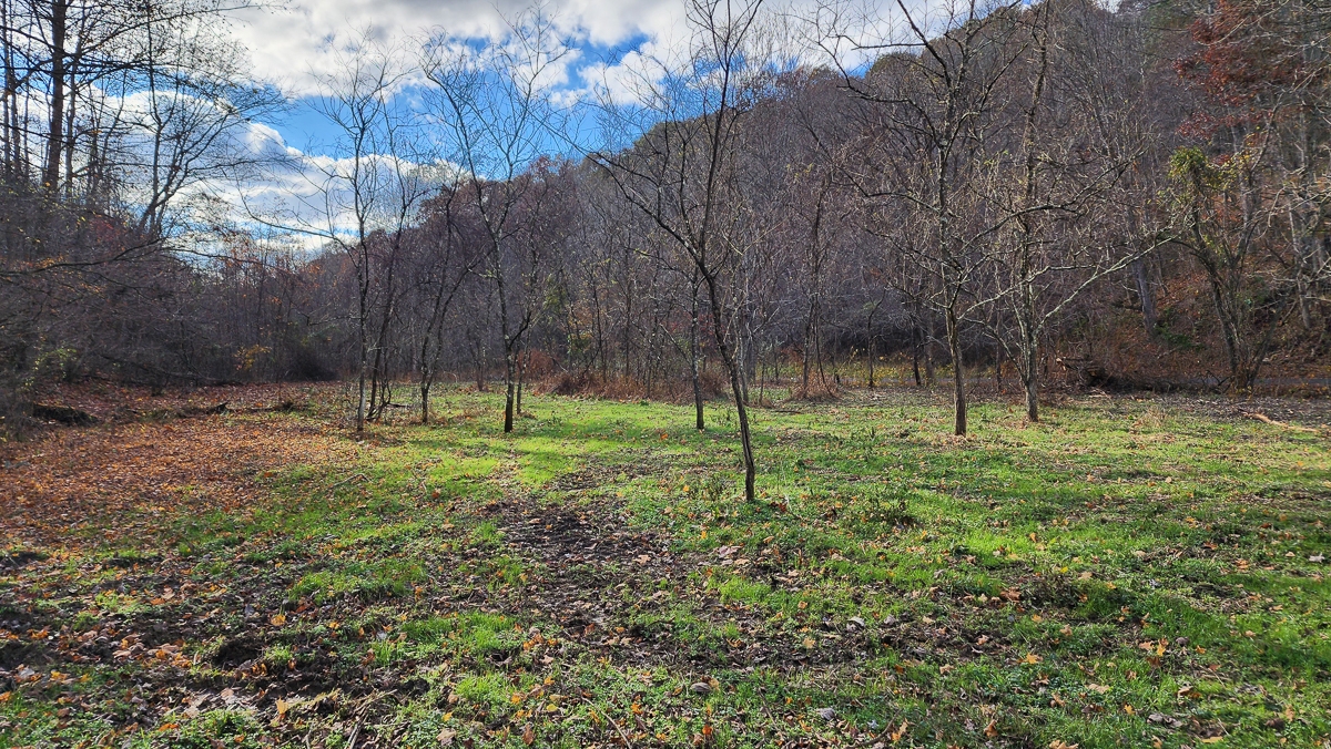
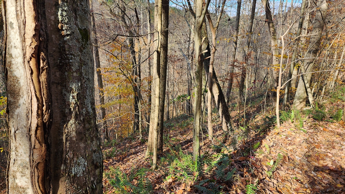
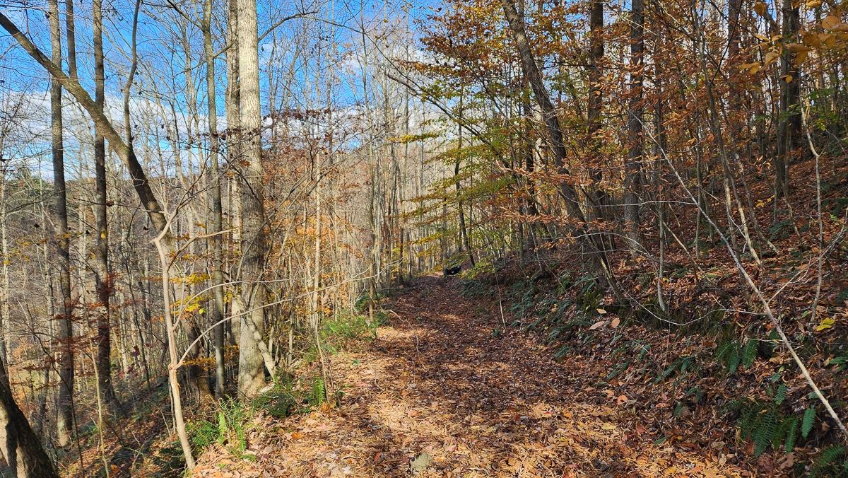
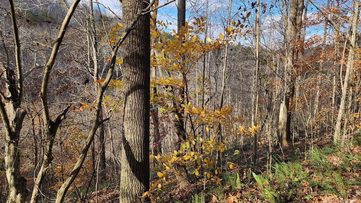
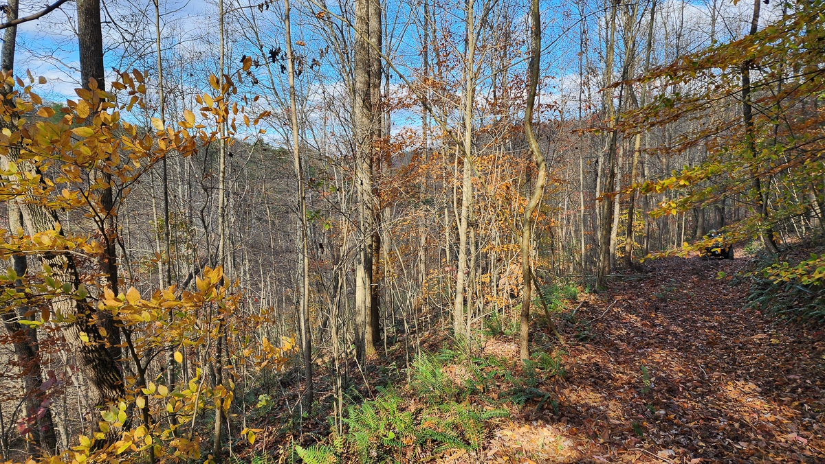
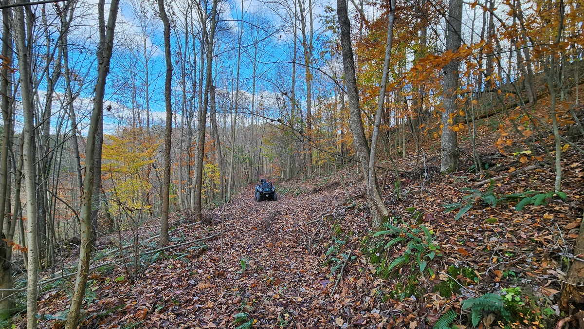
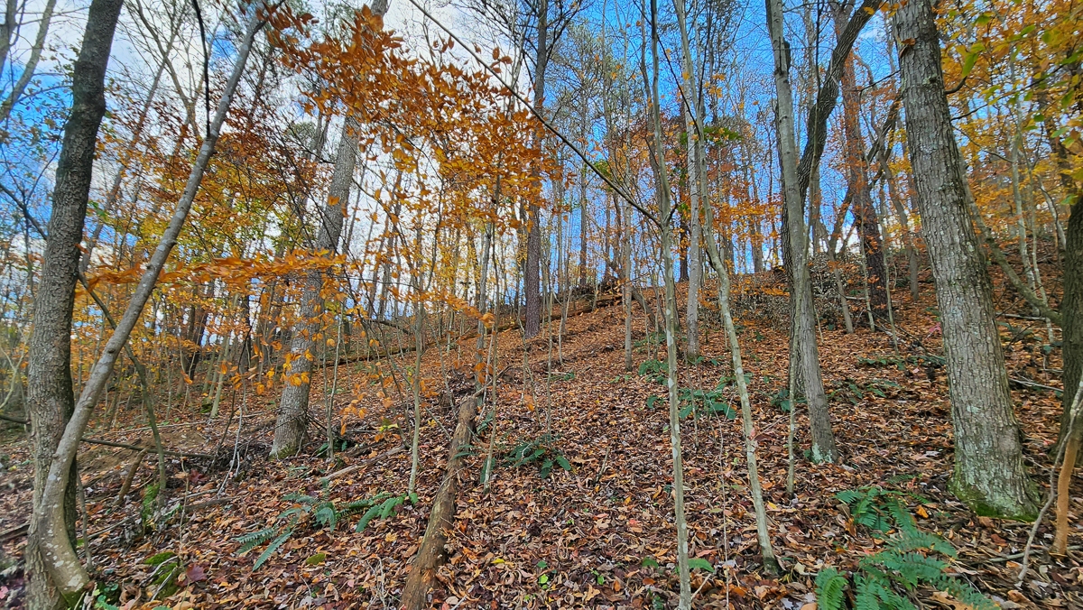
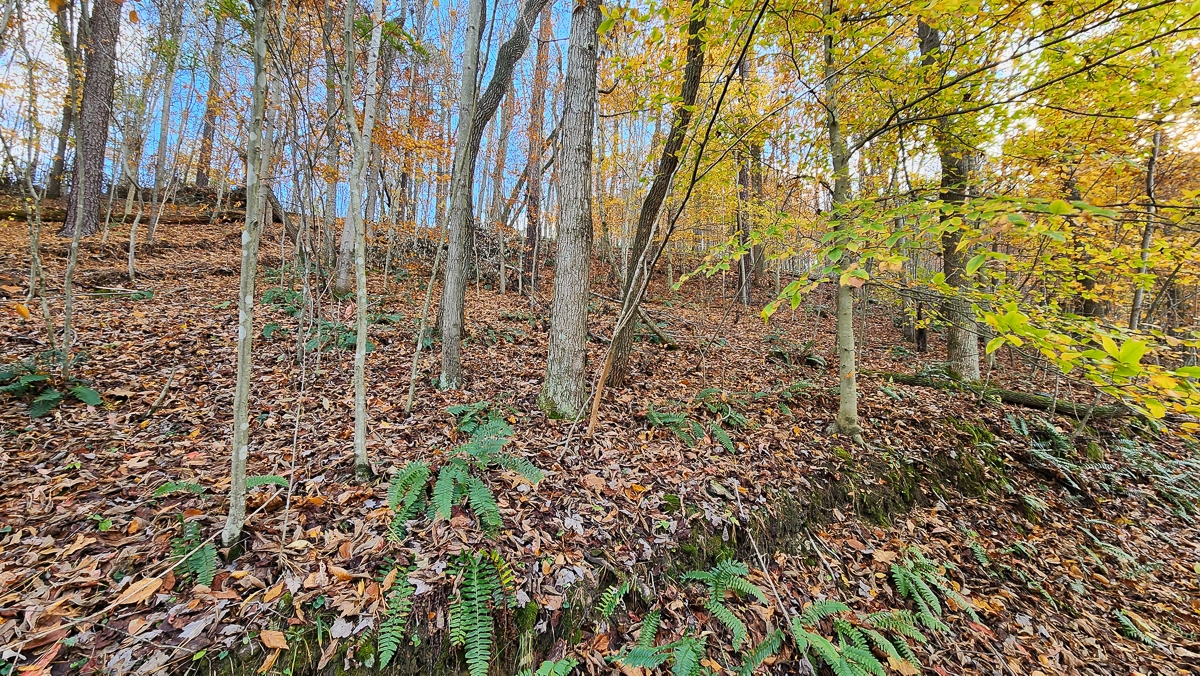
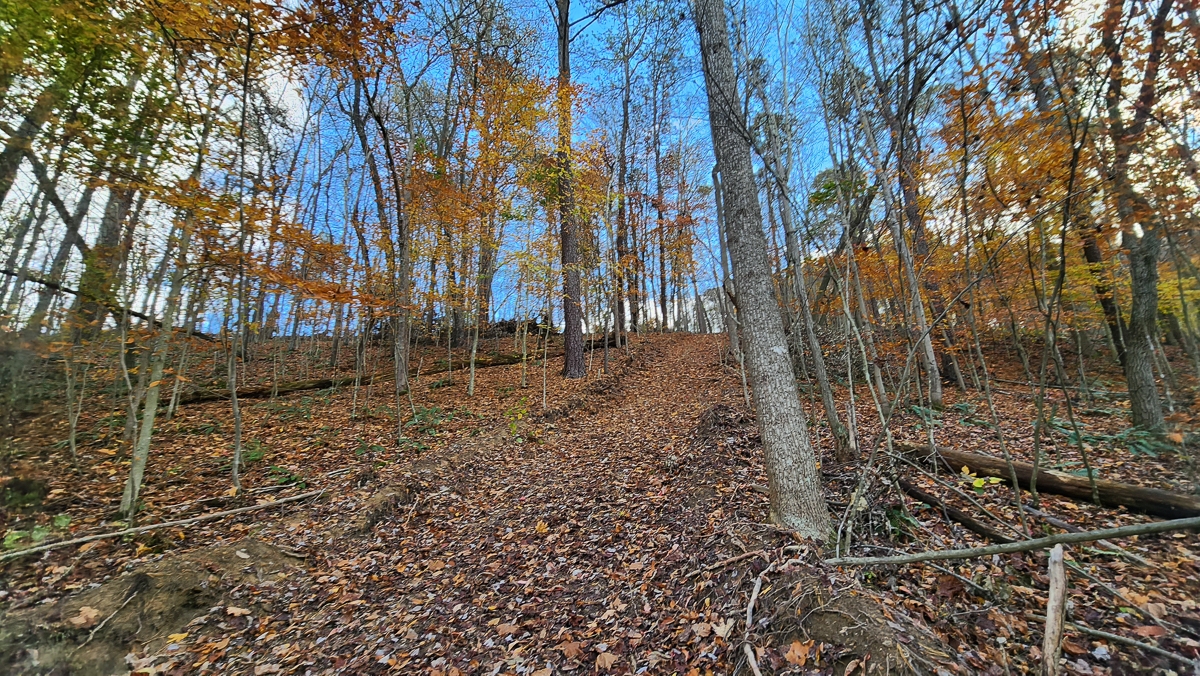
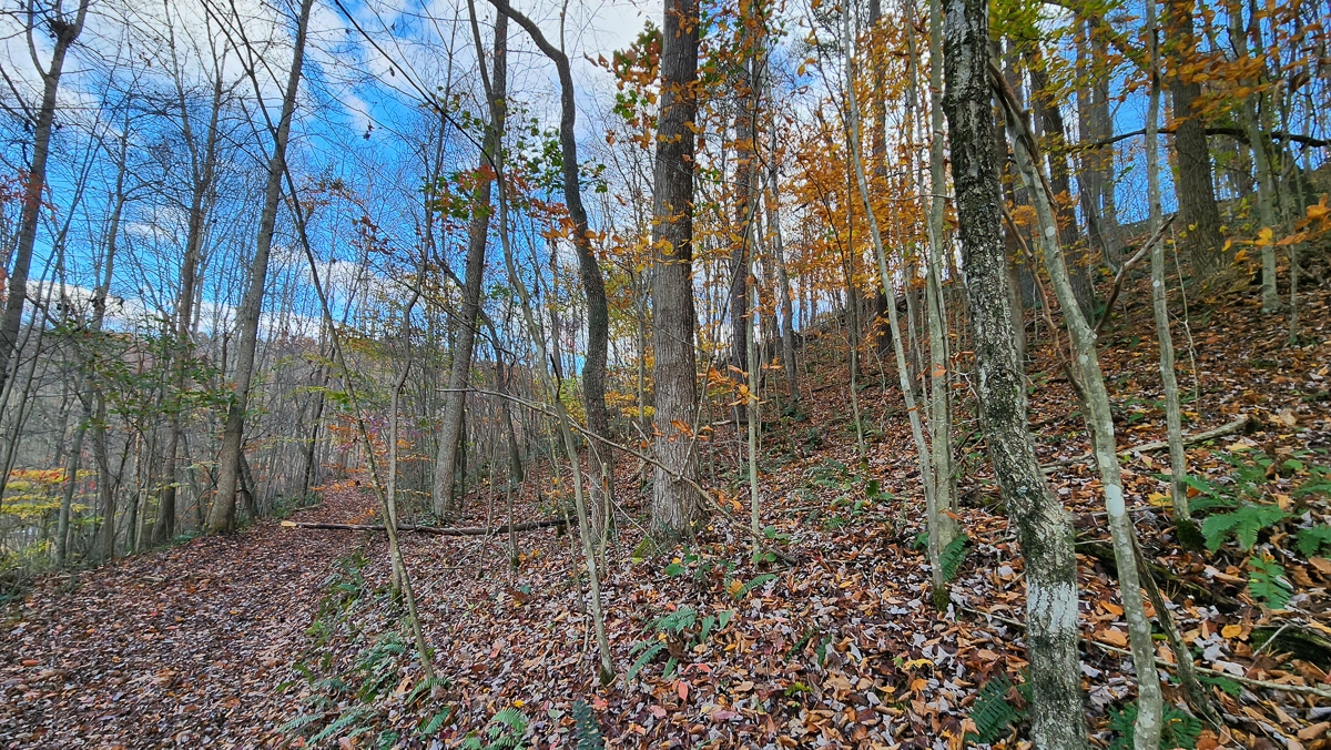
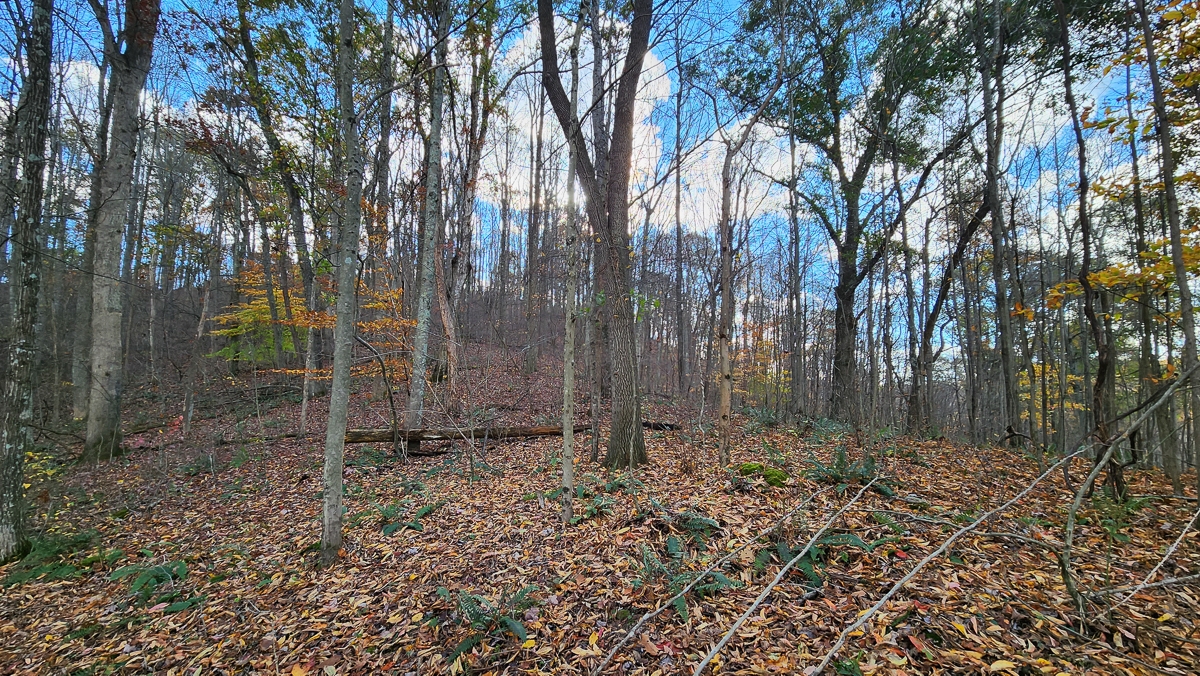
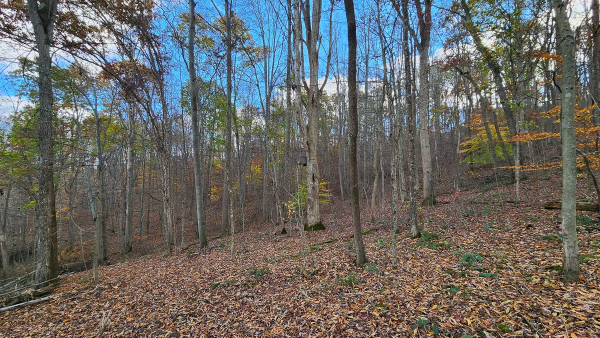
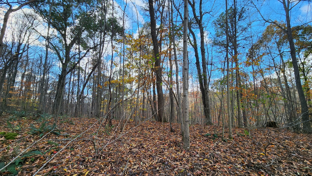
Beautiful Woods with Open Meadow
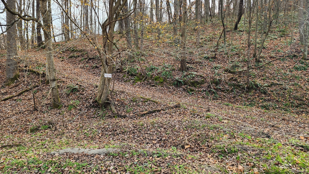
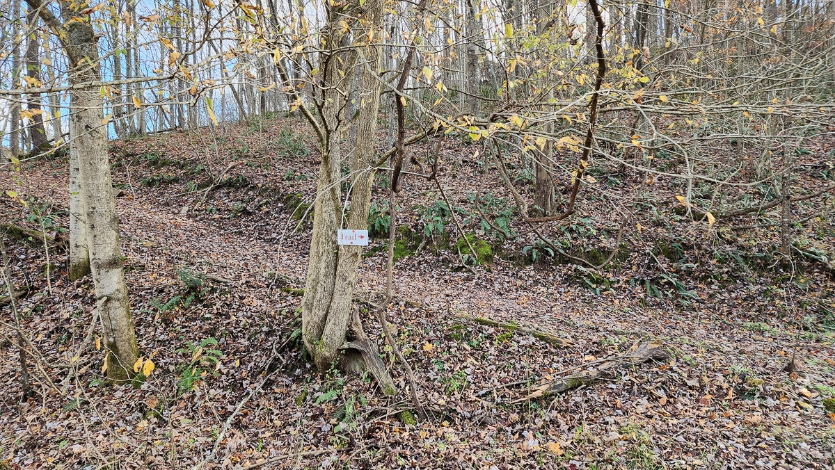
Trails Throughout
Picturesque Hocking Hills Setting only minutes from Old Mans Cave
7.581 Acres (New Survey, Subject to Final Approval for Transfer)
Tract 5 at The Woods at Blue Creek, a Deed Restricted Large Lot Development
Corner Lot with frontage on Blue Creek Rd and Vandergriff Rd
Additional Tracts Available
South Central Electric Power
Logan Elm School District
Salt Creek Township, Hocking County
Part of Parcel # 150005220000 5 Miles to South Bloomingville
6 Miles to Tar Hollow State Forest
7 Miles to Laurelville
9 Miles to Old Mans Cave (Hocking Hills State Park)
9 Miles to Ash Cave (Hocking Hills State Park)
20 Miles to Logan
42 Miles to Columbus
93 Miles to Dayton
100 Miles to Cincinnati More tracts in Blue Creek A Countrytyme advantage
Take the property lines into the field. On your phone, tap Walk property lines , allow your location when asked, and follow the blue dot in Tract Explorer to see your position in relation to the mapped boundary while you explore.
Walk property lines Property photos Show 40 more photos