This property has sold.
The interactive map and property-line walking tools remain available. Driving directions are not provided for sold properties.
Interactive property map
Explore this property map.
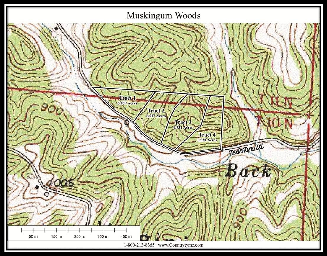
Switch aerial, topographic, soil, water, contour, and terrain layers while the mapped project boundary stays visible.
Property Documents
Property Description
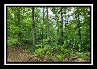
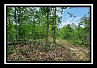
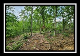
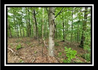
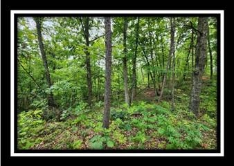
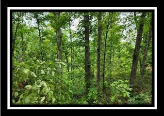
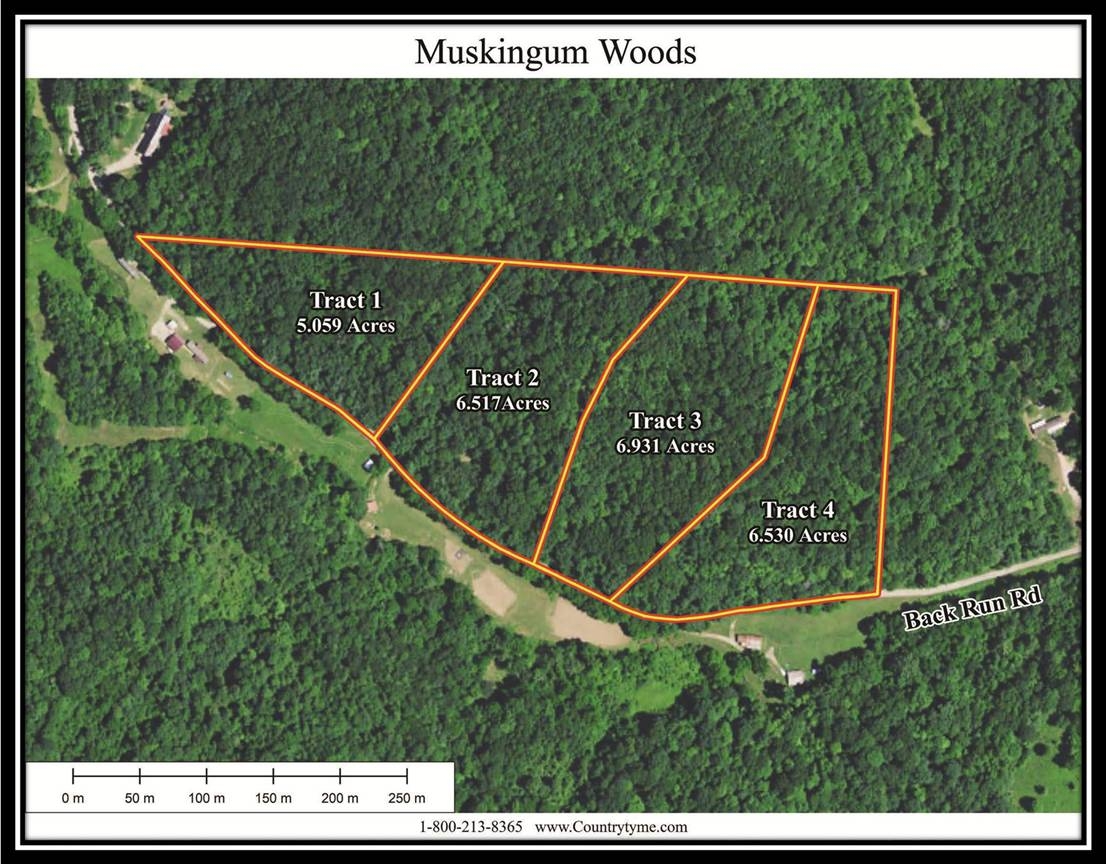
Tract 3 - Muskingum Woods6.9 Ac Wooded Home/Cabin Site or Recreational Retreat
Back Run Rd, Philo, Ohio
Muskingum County
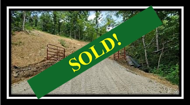
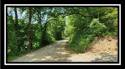
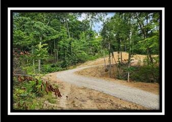
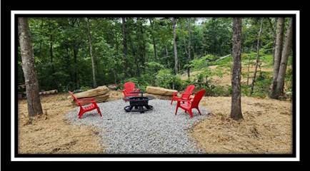
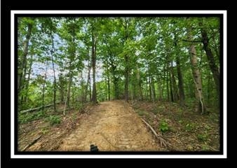
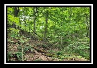
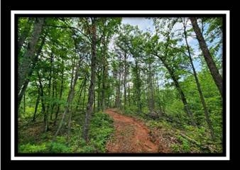
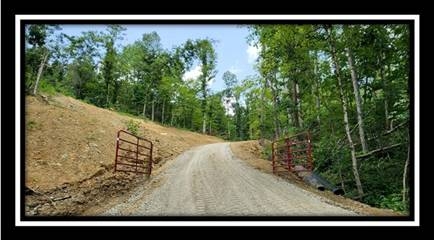
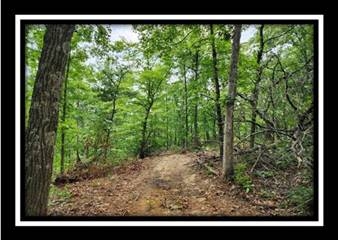
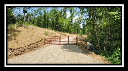
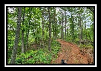
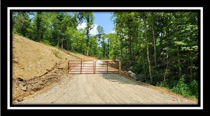
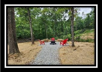
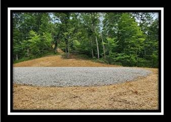
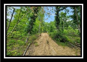
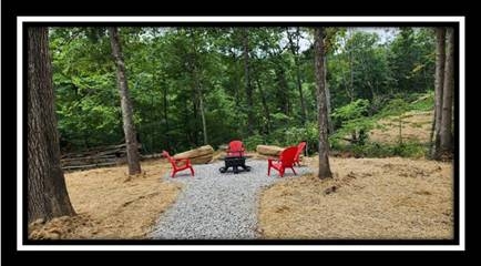
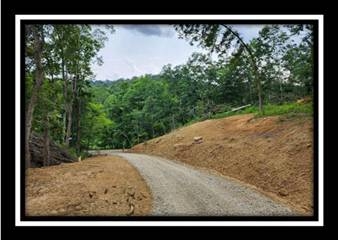
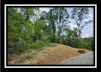
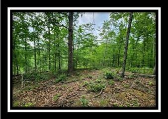
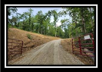
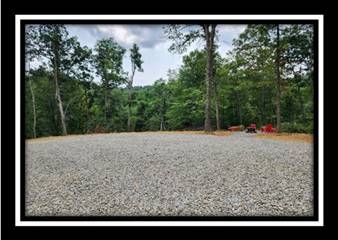
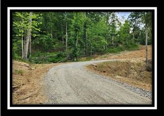
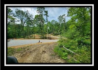
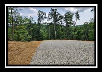
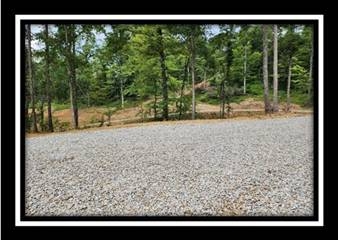
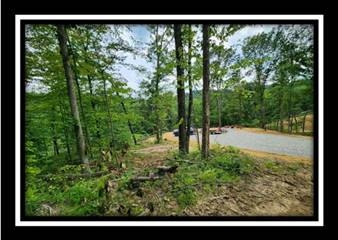
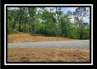
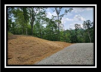
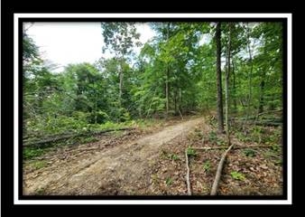
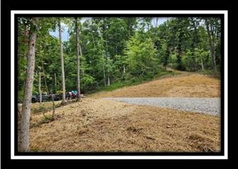
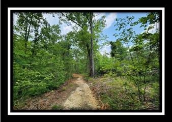
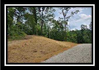
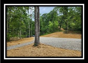
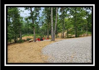
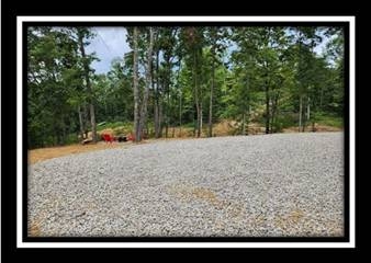
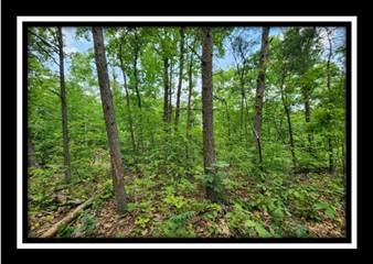
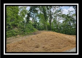
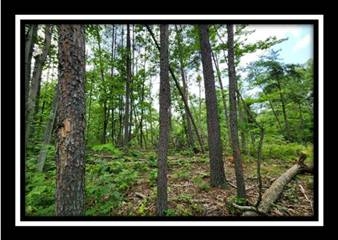
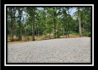
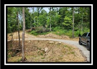
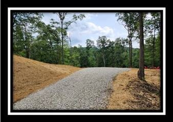
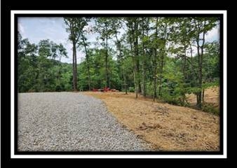
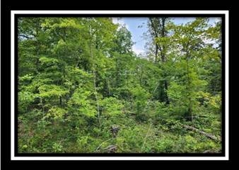
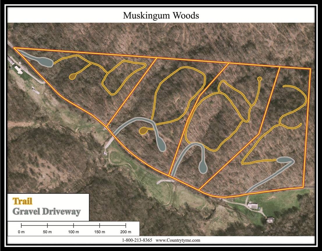
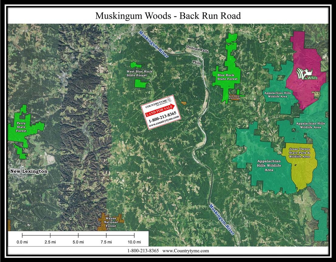
Located on a sleepy country road is this beautiful Wooded lot with newly installed gravel driveway with gated entrance. Newly installed trails system and fire pit area as well with wonderful fully graveled destination spot ready to start your outdoor dreams on day 1. Easy access to the Muskingum River, Blue Rock State Park, Appalachian Hills Wildlife Area, Perry State Forest and Wayne National Forest.
Muskingum Woods on BackRun is Located:
0 Back Run Rd, Philo, OH 43771
GPS Coordinates: 39.807339, -81.932613
Countrytyme Maps and Additional Information
A Countrytyme advantage
Take the property lines into the field.
On your phone, tap Walk property lines, allow your location when asked, and follow the blue dot in Tract Explorer to see your position in relation to the mapped boundary while you explore.
Walk property linesProperty photos