This property has sold.
The interactive map and property-line walking tools remain available. Driving directions are not provided for sold properties.
Interactive property map
Explore this property map.
Switch aerial, topographic, soil, water, contour, and terrain layers while the mapped project boundary stays visible.
Property Documents
- New Lexington Woods Area Parks Map.pdf
- New Lexington Woods Restrictions.pdf
- New Lexington Woods Survey Plat.pdf
- New Lexington Woods (TR262) KML.KML
- New Lexington Woods Aerial w Survey.pdf
- New Lexington Woods Aerial.pdf
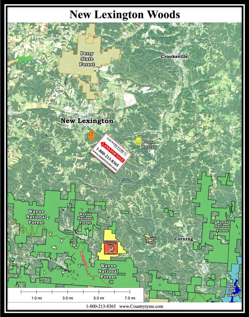
- Perry State Forest
- Perry State Forest ATV Trails
- Burr Oak State Park
- Tecumseh Trails
- Tecumseh Trails Videos on Youtube
- Scenic Trails
- Scenic Trails Recreational Land
- Wayne Recreatinal Area
- Monday Creek OHV Trails
Property Description
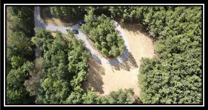
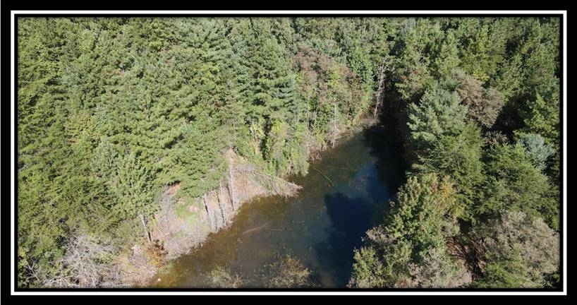
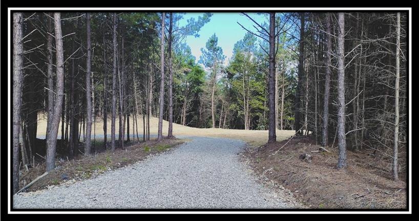
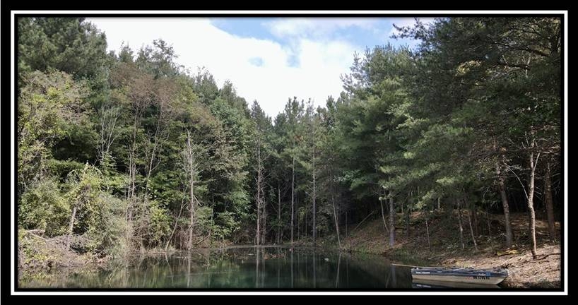
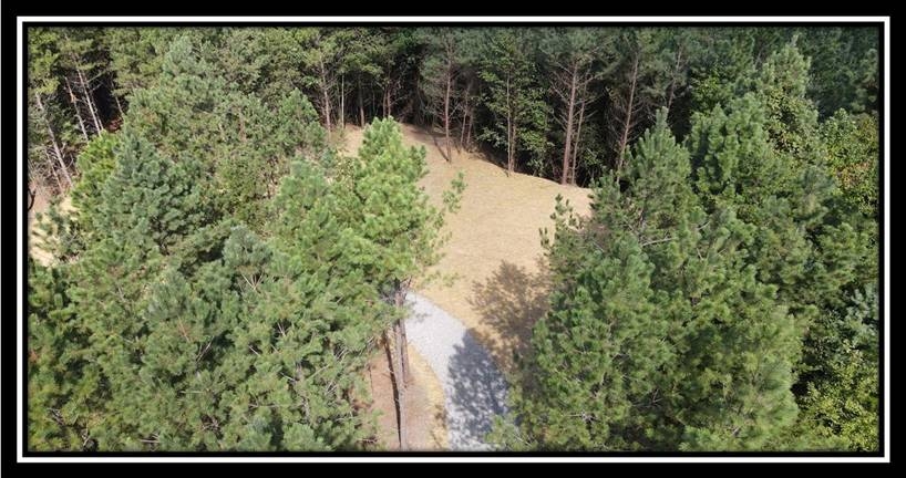
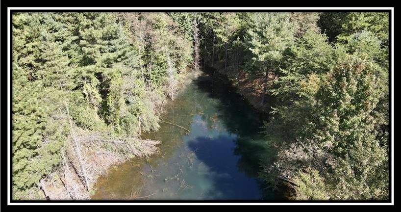
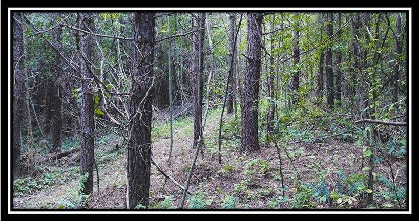
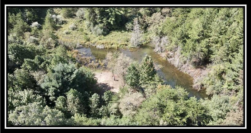
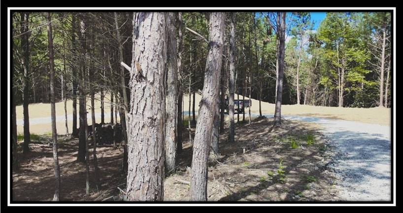
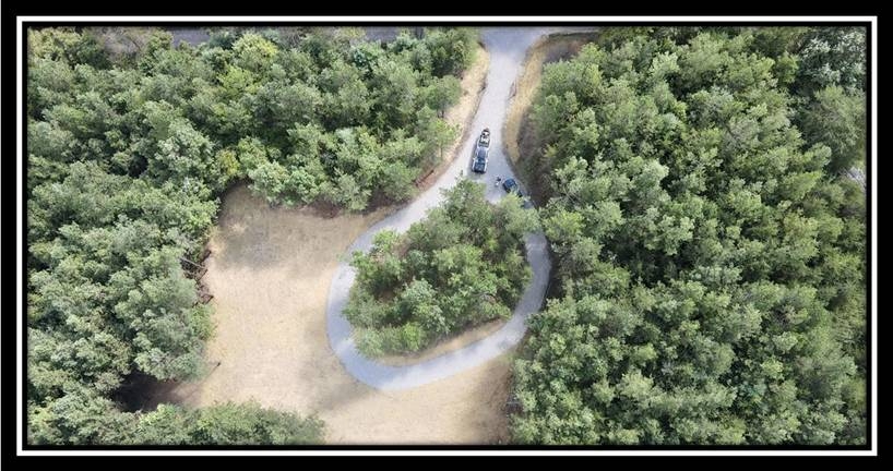
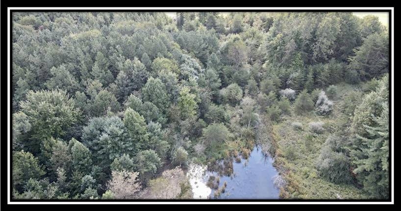
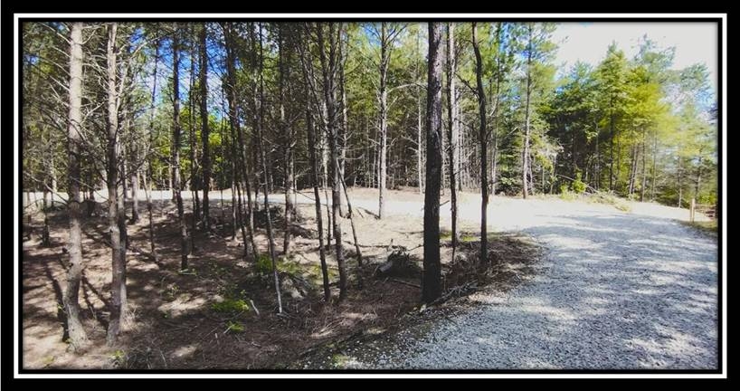
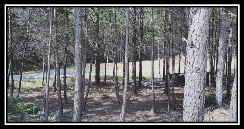
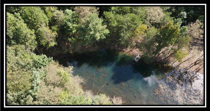
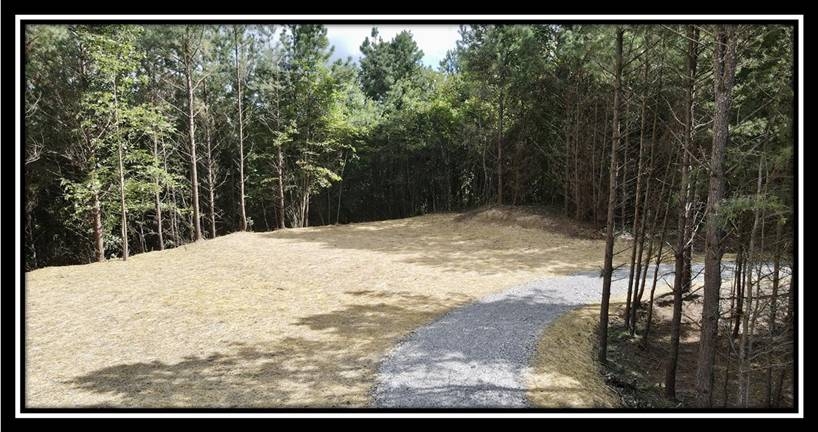
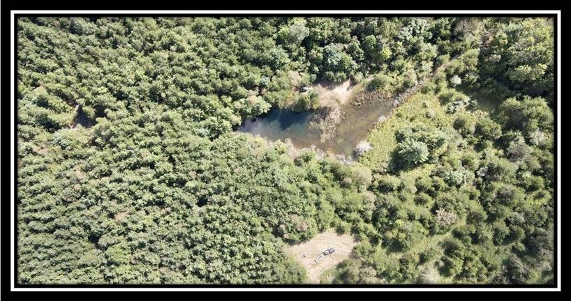
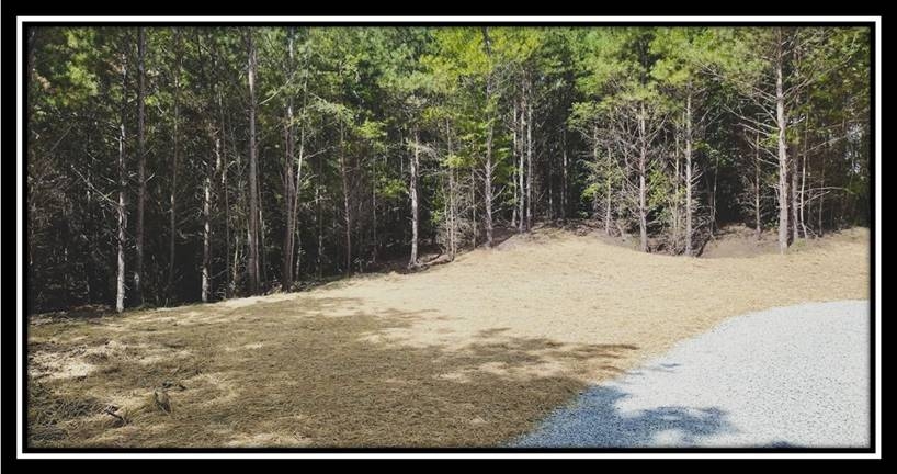
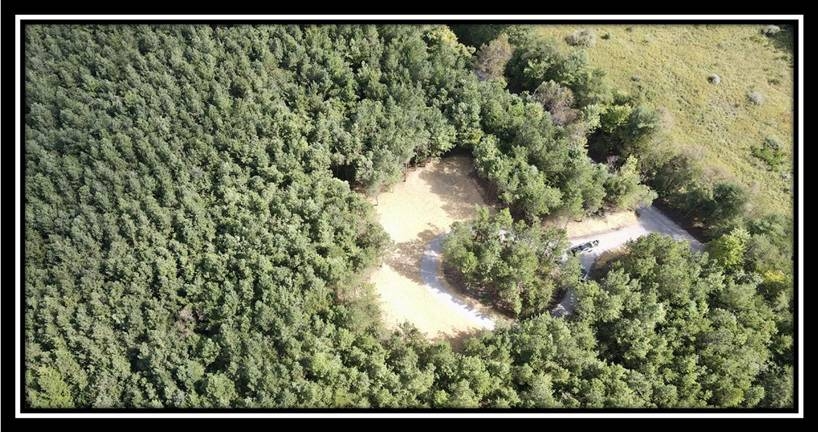
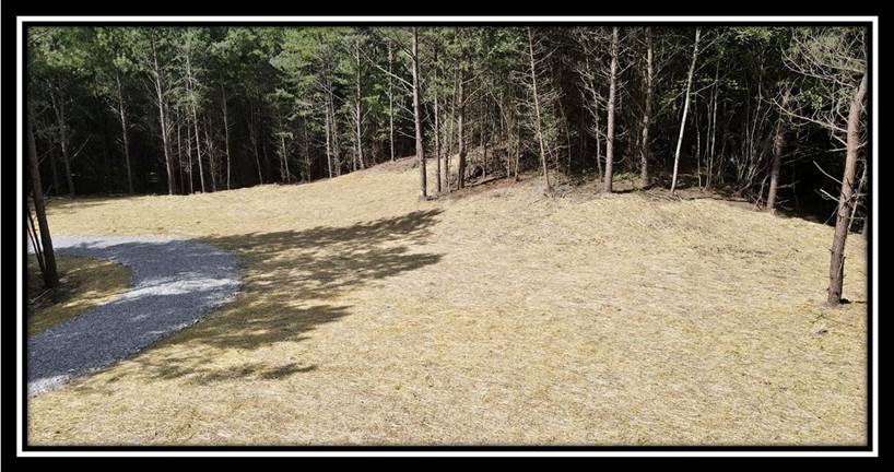
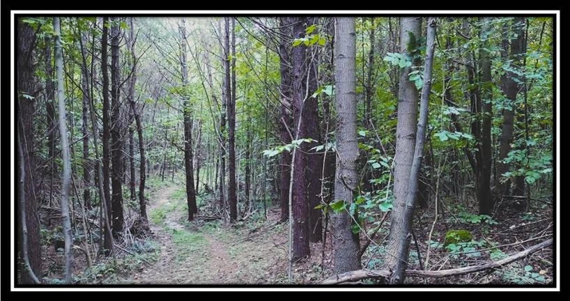
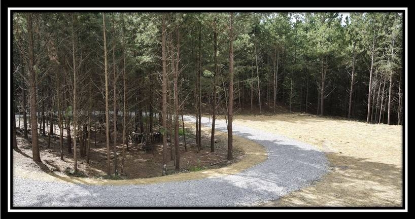
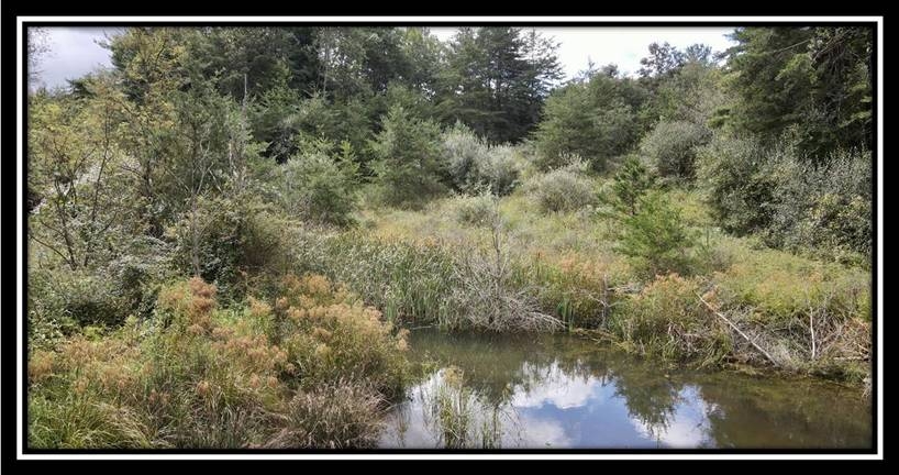
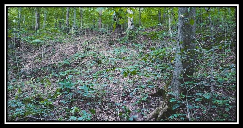
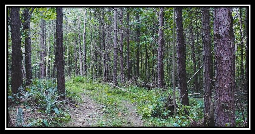
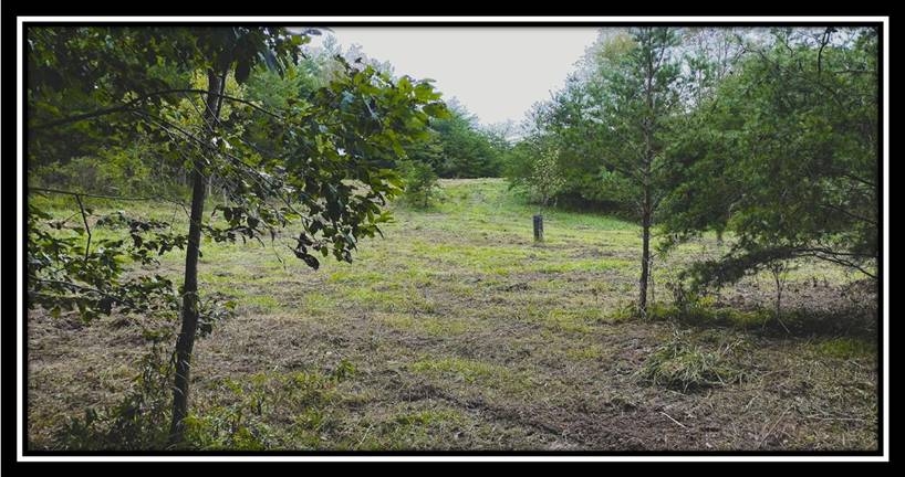
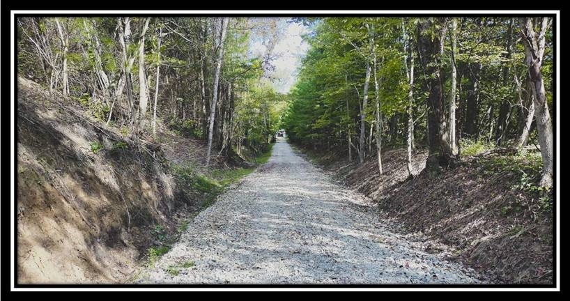
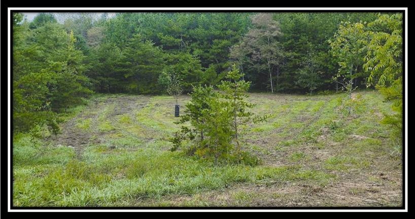
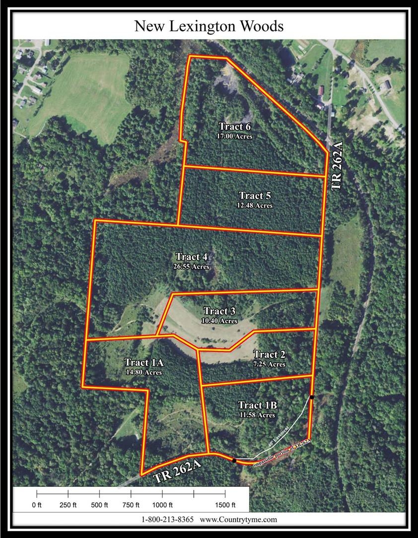
Tract 4 – New Lexington Woods26.55 Beautiful Wooded Acres with Pond
Township Road 262A, New Lexington, Ohio
Perry County
New Lexington Woods is located:
Township Road 262A, New Lexington, OH 43764
GPS Coordinates: 39.699798, -82.197811
Recreational Links of Interest:
Perry State Forest:Burr Oak Lake:
Tecumseh Trails Offroad ATV Park:
Scenic Trails Recreational Land ATV Park:
Wayne National Forest – Monday Creek OHV Trails:
A Countrytyme advantage
Take the property lines into the field.
On your phone, tap Walk property lines, allow your location when asked, and follow the blue dot in Tract Explorer to see your position in relation to the mapped boundary while you explore.
Walk property linesProperty photos