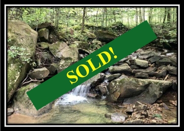
This property has sold.
The interactive map and property-line walking tools remain available. Driving directions are not provided for sold properties.
Property Description
Excellent Investment Property or
Recreational Getaway
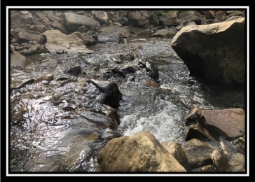
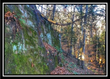
Beautiful Rocky Creeks and
Tremendous Rock Features
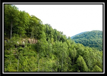
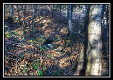
Growing Mixed Forest ideal for
long term timber investment
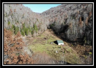
Nearly level grassy creek bottom,
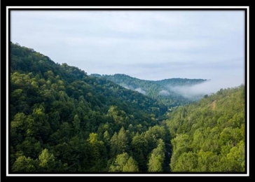
rocky wooded hillsides and mountainous
peaks
Vast wilderness for the rugged
outdoor enthusiast
Bring your energy and hiking boots
as this property is ideal for
exploring
For the avid hunter this property
may check all of your boxes
Elk, Deer, Turkey, Bobcat, Bear?,
Small Game
Existing Pole Barn and electricity
on property
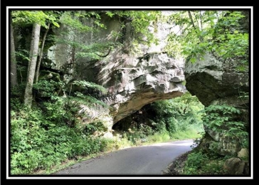
Paved Road Access
Enter the property through "Tunnel
Rock" on Acorn Fork Rd
Very Near Daniel Boone National
Forest
705 +/- Acres in 3 non-contiguous
parcels offered as a package only
Sold by existing deed
descriptions, no recent survey,
mapping is from Knox Co PVA Maps
Beautiful Remote Setting-37
Miles East of I-75
Mineral Rights have been
previously reserved
Knox Co KY - Parcel #s 189-00-00-
013.00, 194-00-00-027.01, 189-00-00-
010.00
Location
20 Miles to Barbourville, KY
37 Miles to I-75 at Corbin, KY
39 Miles to Tennessee and Virginia
State Lines at Cumberland Gap National
Park
79 Miles to Somerset, KY & Lake
Cumberland
85 Miles to Knoxville, TN
110 Miles Lexington, KY
Estimated Address:
2700 Acorn Fork Rd, Flat Lick, KY
40935
GPS Coordinates:
36.931178, -83.638041
2018 Aerial Map
USGS Topo Map
705 Ac PVA
Map
General Area Location
Map