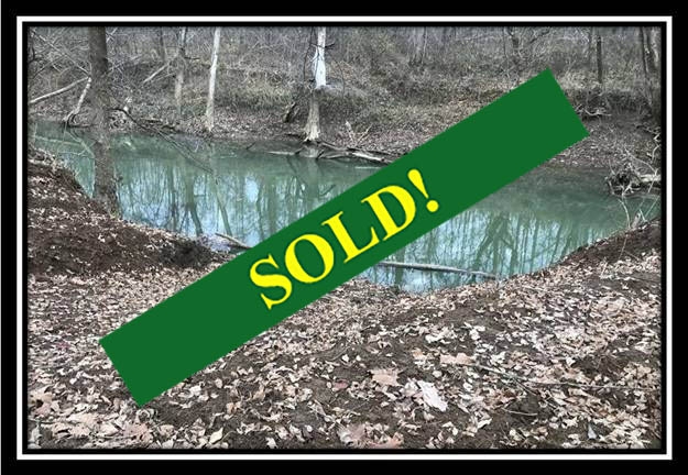
This property has sold.
The interactive map and property-line walking tools remain available. Driving directions are not provided for sold properties.
Interactive property map
Explore this property map.
Switch aerial, topographic, soil, water, contour, and terrain layers while the mapped project boundary stays visible.
Property Documents
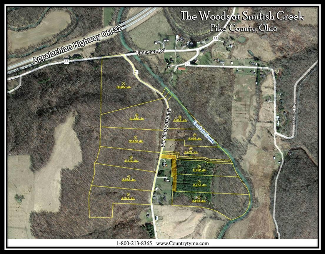
- The Woods at Sunfish Creek Aerial.pdf
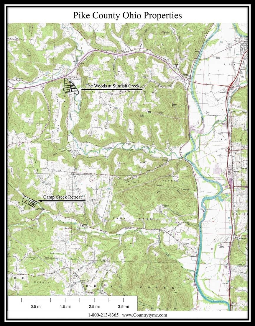
- The Woods at Sunfish Creek and Camp Creek Retreat.pdf
- The Woods at Sunfish Creek Deed Restrictions.pdf
- The Woods at Sunfish Creek KML.KML
- The Woods at Sunfish Creek Survey.pdf
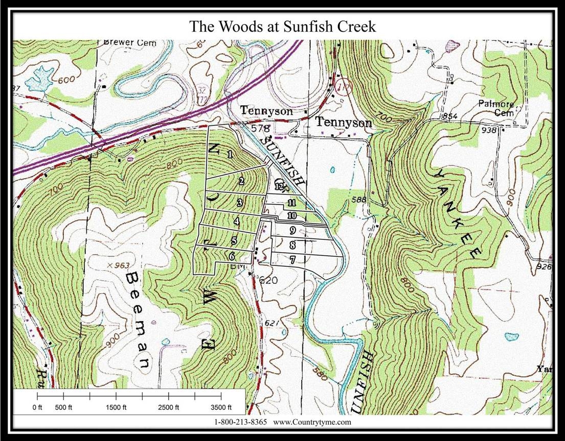
- The Woods at Sunfish Creek USGS Topo Map.pdf
- The Woods at Sunfish Creek - FEMA Flood Plain - Pike Co GIS Map.pdf
Property Description
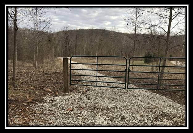
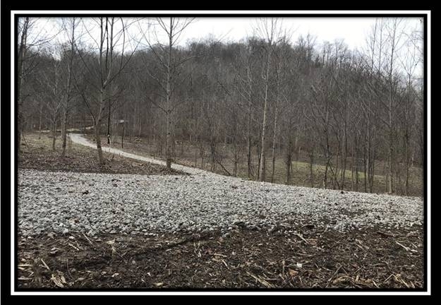
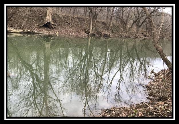
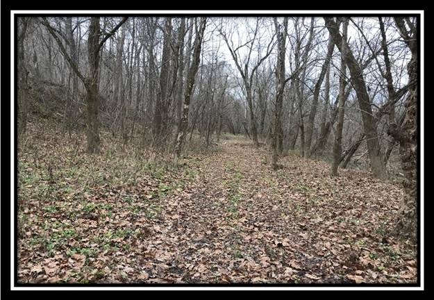
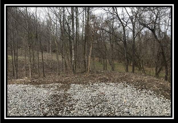
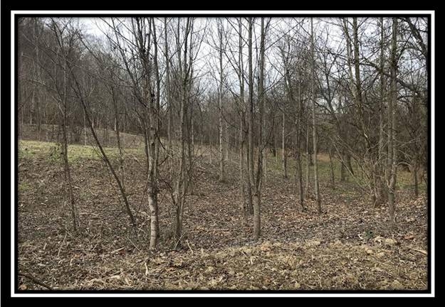
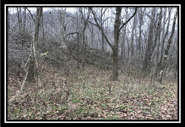
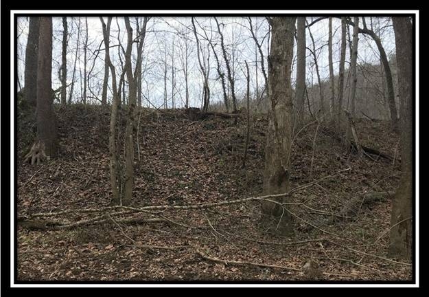
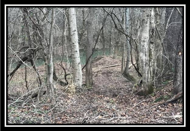
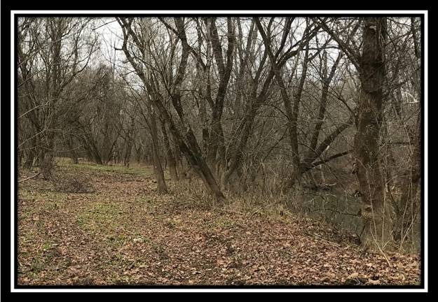
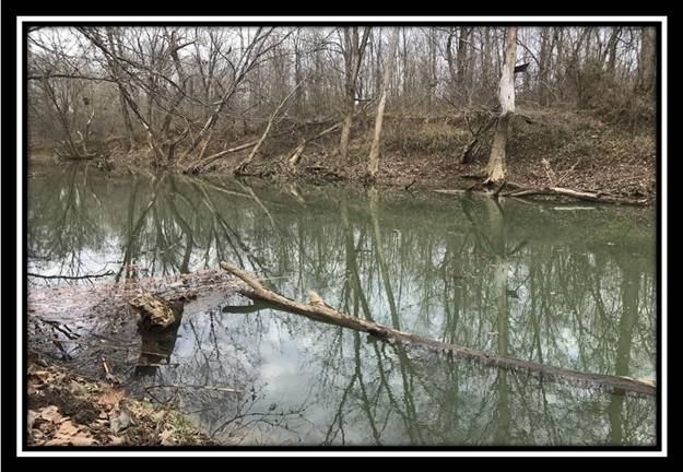
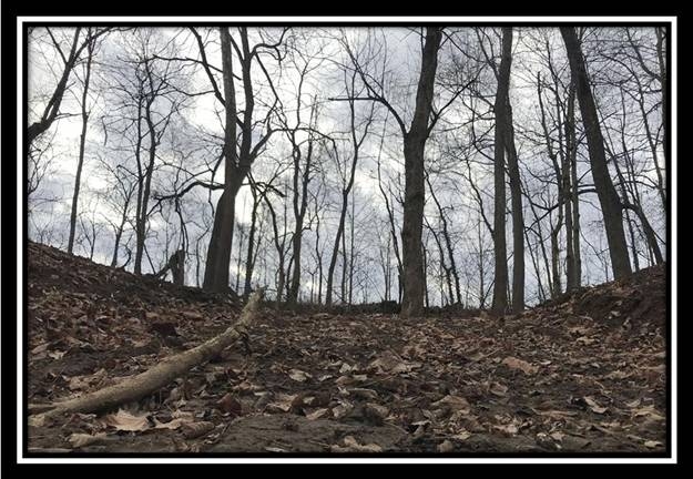
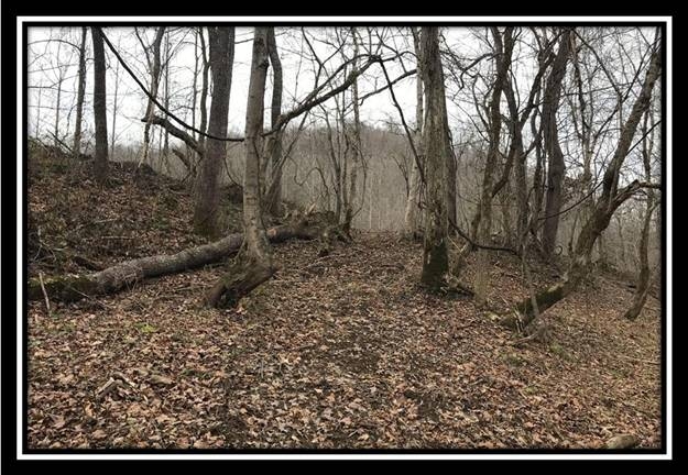
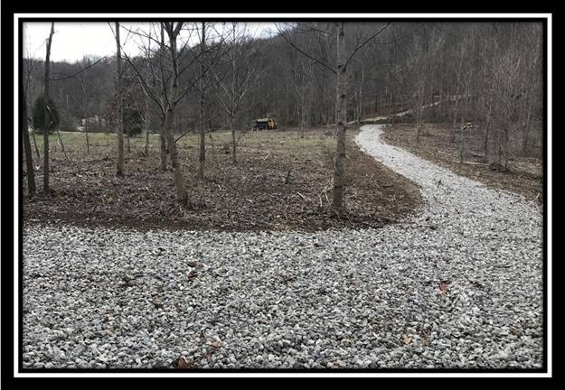
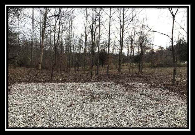
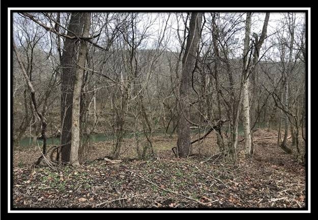
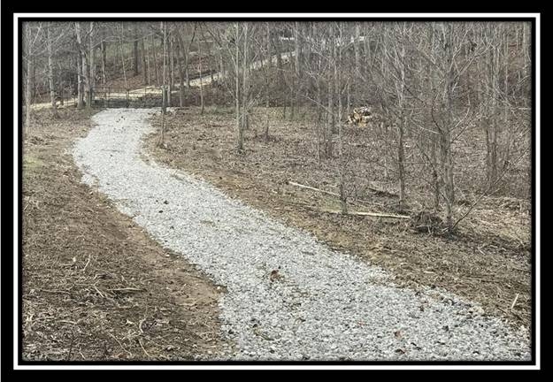
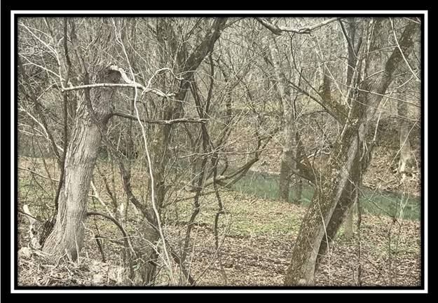
Tract 12 at The Woods at Sunfish Creek5 Acres on Sunfish Creek
Sunfish Creek Rd, Pike County, Ohio
The Woods at Sunfish Creek is located just off of OH-32 at Tennyson Rd and Sunfish Creek Rd:
Sunfish Creek Road, Piketon, OH 45661
GPS Coordinates: 39.044857, -83.127395
Countrytyme Maps and Additional Documentation
A Countrytyme advantage
Take the property lines into the field.
On your phone, tap Walk property lines, allow your location when asked, and follow the blue dot in Tract Explorer to see your position in relation to the mapped boundary while you explore.
Walk property linesProperty photos